
Here in Western Massachusetts, we have a lot of hiking trails, and some of them go over mountains (they’re really more like big hills, but we call them mountains).
In particular, trails run along the Holyoke Range, which is just to the East of the Connecticut River. Every year, the students and staff of the Hampshire College Summer Studies in Mathematics go on a hike over part of the range, and I’ve gone along the past 2 summers. This year, I took a camera, so there are pictures to be seen (and posted).
This particular trail is part of the Metacomet-Monadnock Trail. Specifically, it’s Section 7. We started at the Eastern end of the section, at Hwy 116, and hiked West to the summit of Mt. Holyoke in Skinner State Park (so not quite all the way to the Western end of the section).
Here’s what I saw along the way:
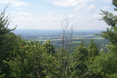
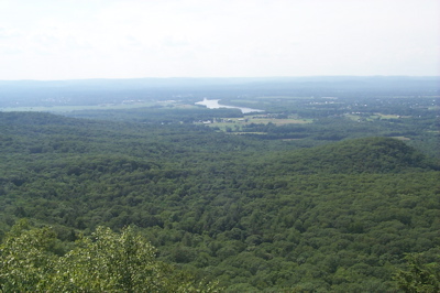
The first several pics are from the top of the first peak, Bare Mountain. This is looking North and slightly West over Amherst and Hadley:
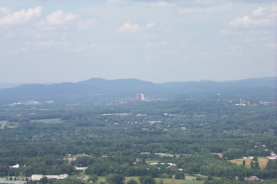
This looks straight North. That bit of tall buildings in the distance is not a city center, but is the campus of the University of Massachusetts, Amherst:
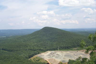
Turning East, we look across the Notch at the half of the range we’re not hiking. You can see the tallest peak in the range – Mt. Norwattuck – as well as the gravel quarry that’s located in the Notch:
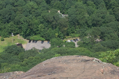
And this one shows the parking lot of the Notch Visitors Center, approximately 400 feet below:
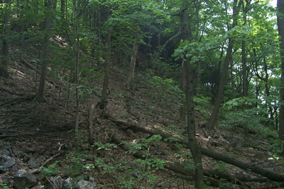
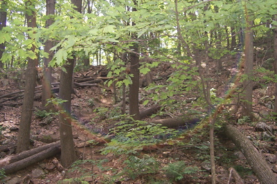
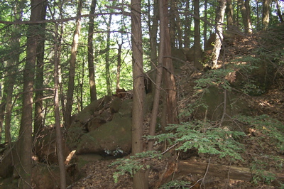
On the way to the next peak, I took a few pretty shots in the woods (shots with the camera that is, I’m not the Vice President):

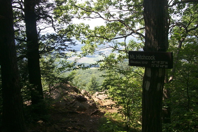
Then we reached the top of Mt. Hitchcock, as you can see:
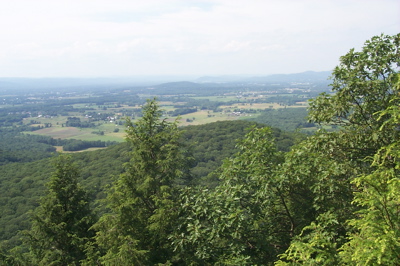
Here’s the view looking Northeast from Hitchcock:
And here, looking Northwest, we get the first view of the river:
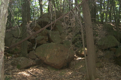
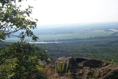
The trail continues over a couple of smaller, and apparently unnamed, peaks. During this section, there were some interesting rocks in the woods:
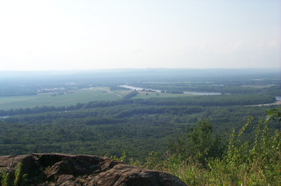
Finally, on the second of these peaks, there is one more viewpoint where one gets a closer look at the river:
After that, the hike goes through a smaller notch, then up Mt. Holyoke to the summit house. For some reason, I didn’t take any further pictures. Maybe next year.
Next: pictures from my solo hike of the other half of the range.