My second training ride occurred during the last weekend of August. I went to a location I’d biked to a few times before, including on my first training ride in 2007. That place is the Quabbin Reservoir. To get there, I headed East from our house through Amherst and into Belchertown, stopping off at our favorite breakfast place, The Roadhouse Cafe. (those in the area should eat there sometime if you haven’t already – and no, this is not a paid advertisement).
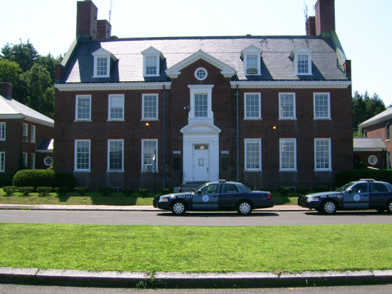
From there I went further East on Route 9, and got to the first entrance to the reservoir reservation, still barely in Belchertown. Near that park entrance is the Quabbin visitors’ center:
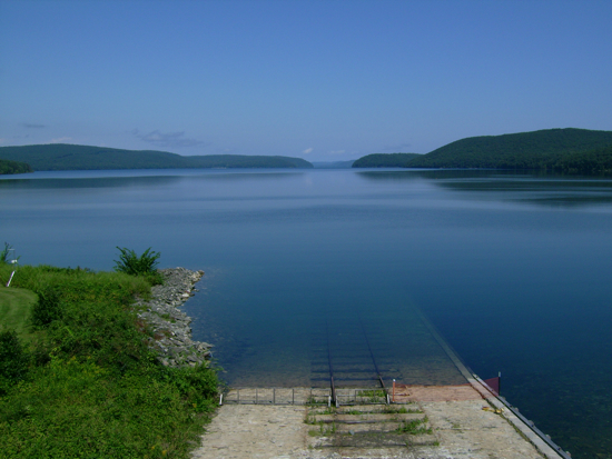
Turning around from there, one can look North along the Western ‘lobe’ of the reservoir:
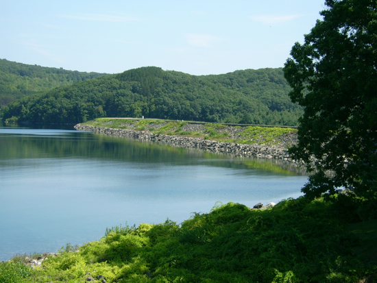
Proceeding just to the East, one comes to the Winsor Dam, which is a big earthen berm with a spillway to one side for what remains of the Swift River. Here’s a view of the dam from near the visitors’ center:
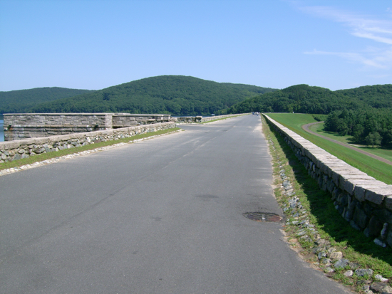
And here I look along the top of it:
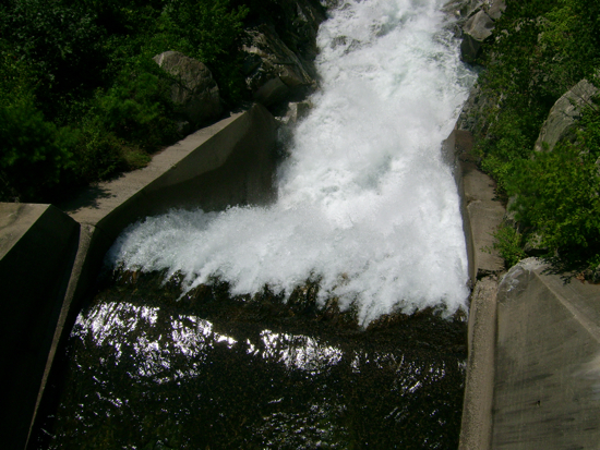
I rode across, and then took some pics of the river in the spillway. Here is where the water was coming toward me from the reservoir:
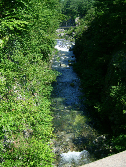
And here’s the other side, where the river proceeds South:
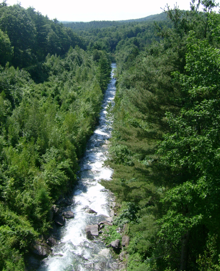
I then proceeded up Quabbin Hill:
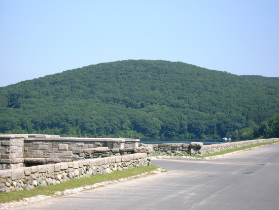
At the top of the hill is a lookout tower:
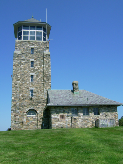
My legs were a bit tired from riding up the hill (though it was much more gradual than Sugarloaf), but I was still able to climb the 6 flights of stairs. Here are views through the windows at the top:
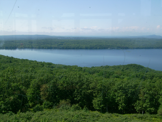
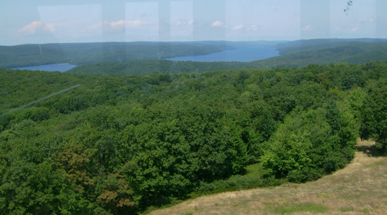
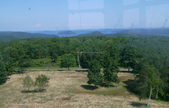
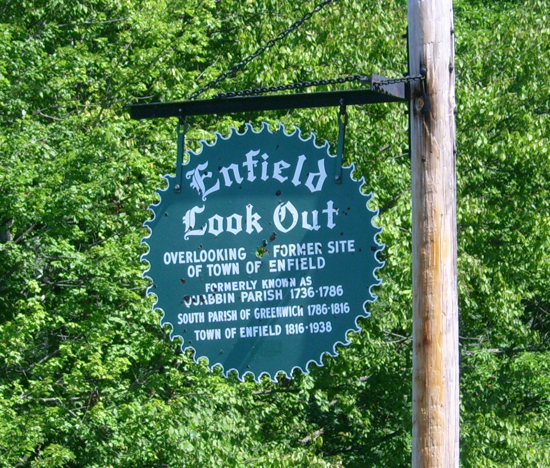
After a brief time up there, I headed down the other side of the hill, continuing East. I came to the Enfield lookout. Here’s the reason for the name:
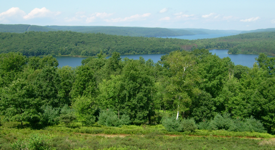
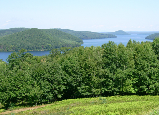
Where the town was is mostly water now:
Shortly after the bottom of the hill, one comes to the Goodnough Dike:
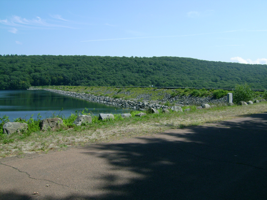
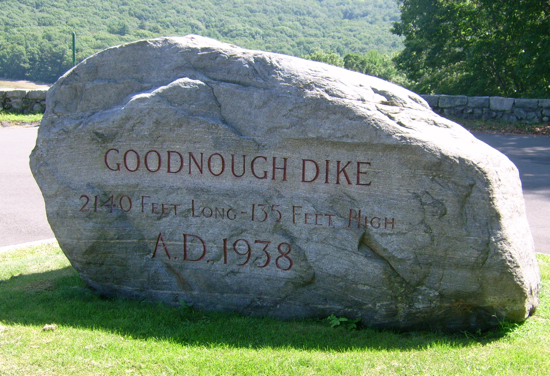
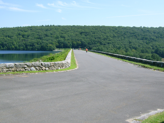
The path over this dike comes off the main road, and goes in a loop. I first went across the top:
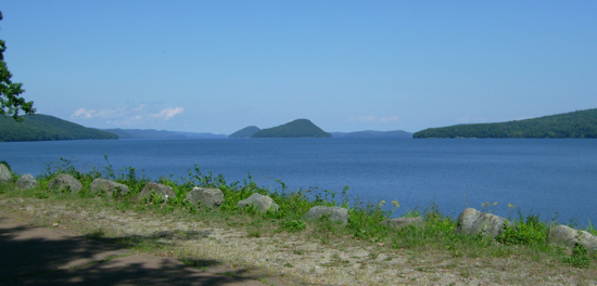
From there I got this view of the Eastern ‘lobe’ of the water:
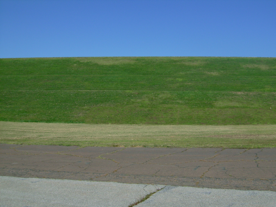
And then I followed the path down behind the dike (i.e. the dry side) to go back to the road. Here’s the dike seen from below:
From there, I came out the Eastern park entrance onto Route 9 in the town of Ware. I thought I might head East a little more, but there was a long hill to climb on 9, and my legs thought I should head for home. One the way back along Route 9, I passed this swampy area:
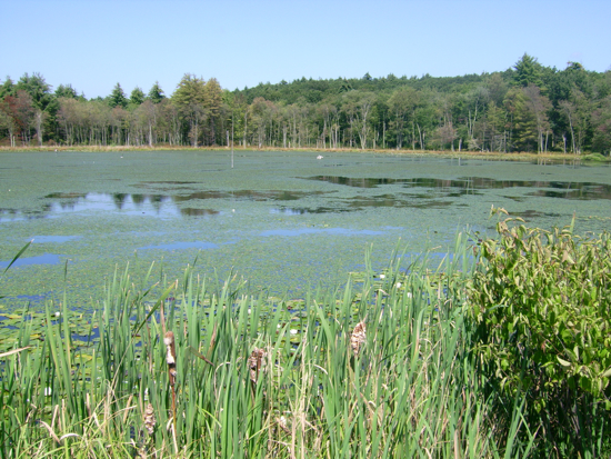
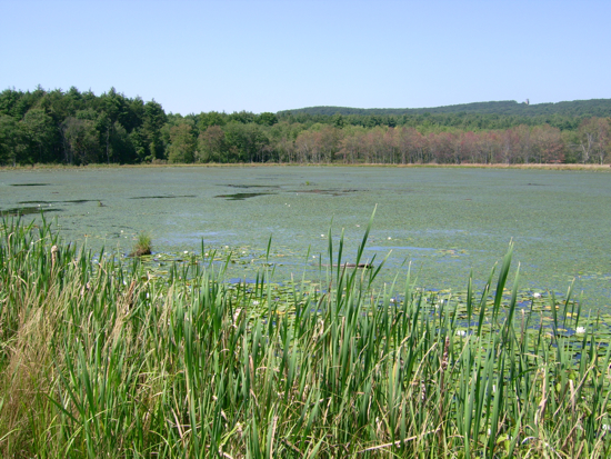
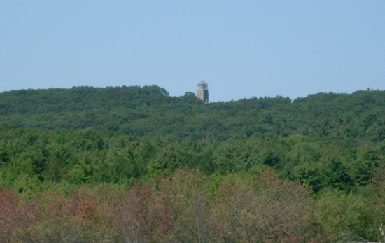
I realized that I could see the Quabbin observation tower in the distance:
I spotted a great blue heron in the swamp, but it flew away before I could get close enough to take a picture.
Soon after that point, I came to the Swift again, where it crosses 9. It’s considerably calmer there:
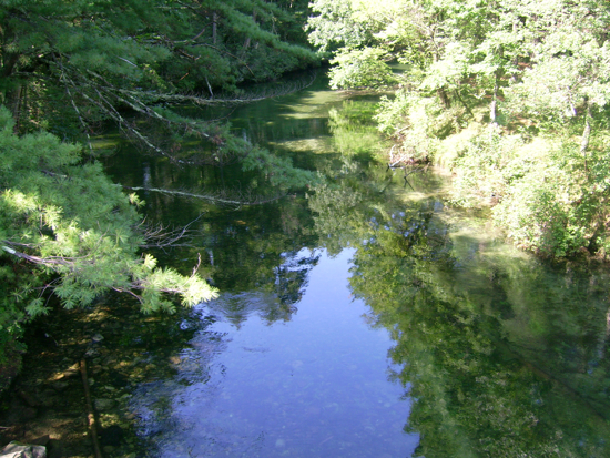
That’s also the border between the towns of Ware and Belchertown:
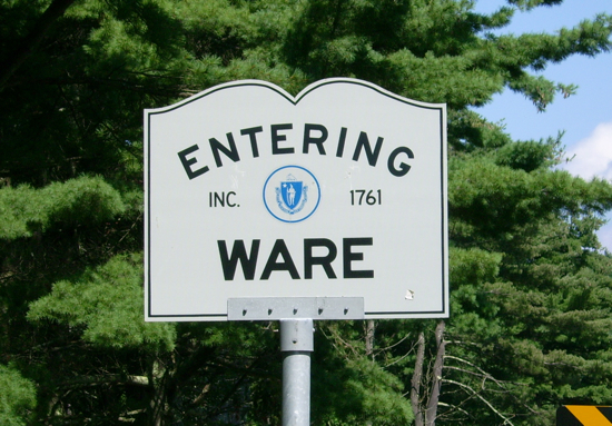
I then passed the other entrances to the reservation (including the one I’d gone in earlier) and headed back home the way I’d come. Total distance: 37 miles
Next: Yet another mountain

1 Comment
Pingback: Sean’s Blog » Blog Archive » Training: Gimme Some Sugar