
I not only went on a bike trip for my birthday this year, I also went on another, longer one over Labor Day weekend. I had already been thinking about doing a ride that weekend when it was announced that They Might Be Giants were going to be playing at a festival in the town of Newburyport, MA. It seemed like going to see that concert would be a great plan, so that’s what I set out to do.
The trip was 4 days long. Newburyport is in the northeastern corner of the state, about 125 miles from Holyoke, so it was too far for me to bike in one day. The festival was scheduled to run all afternoon on that Saturday, with TMBG going on stage at 5:00pm. I needed to cover most of the distance on the Friday, and then could just cover the last quarter of it on Saturday, getting to town in the early afternoon.
I headed out on that Friday morning around 9:30, traveling along US 202 to Belchertown. I was technically riding on 202 North, but that section of it travels much more east than north. Once in Belchertown center, I picked up route 9 and rode east into Ware.
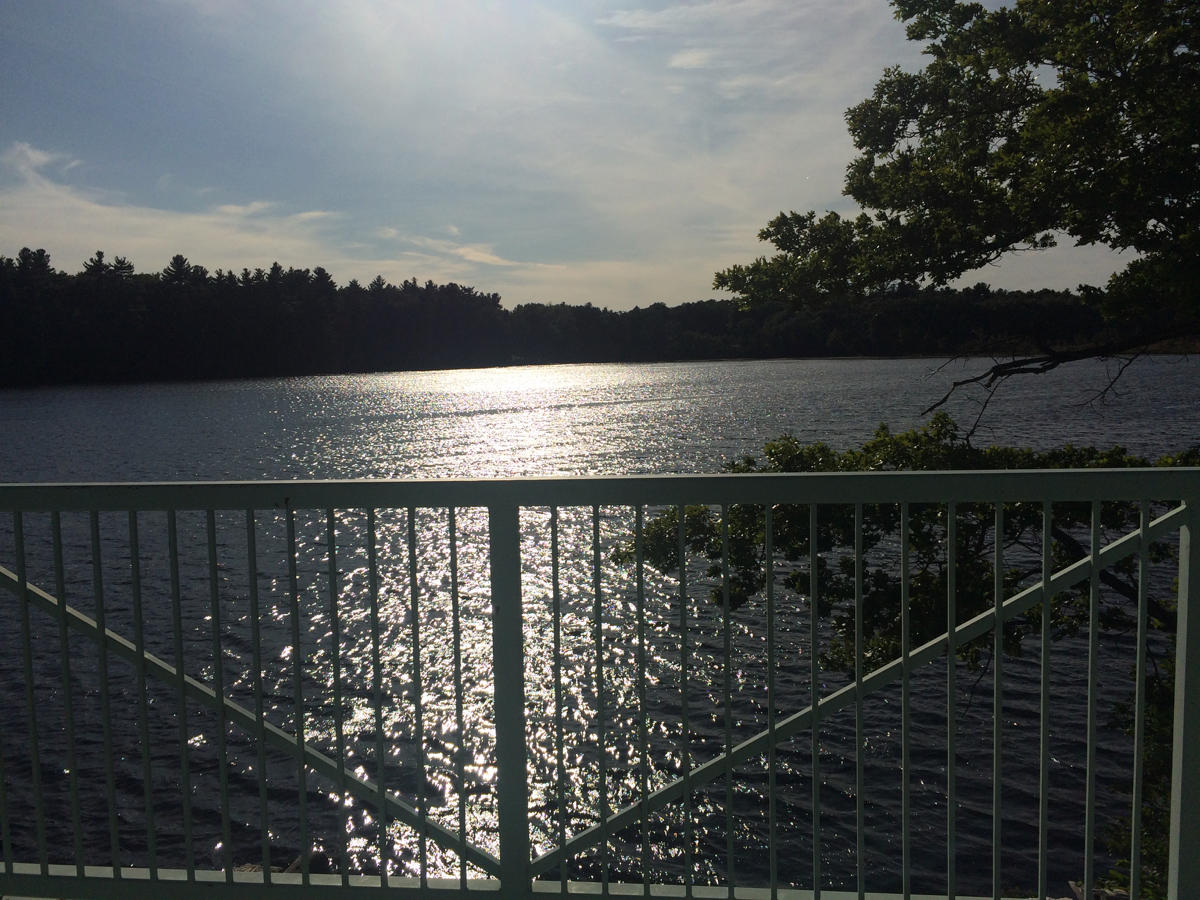
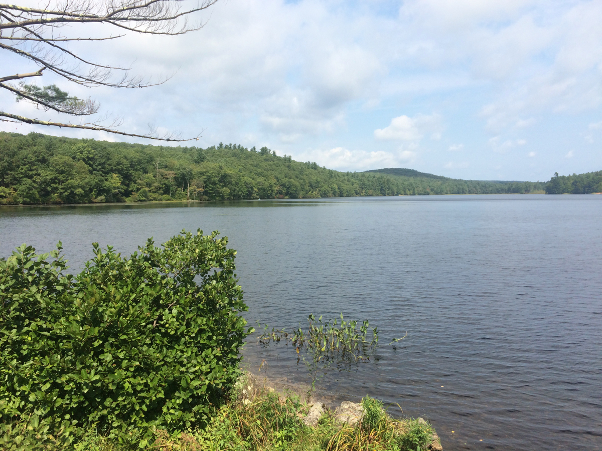
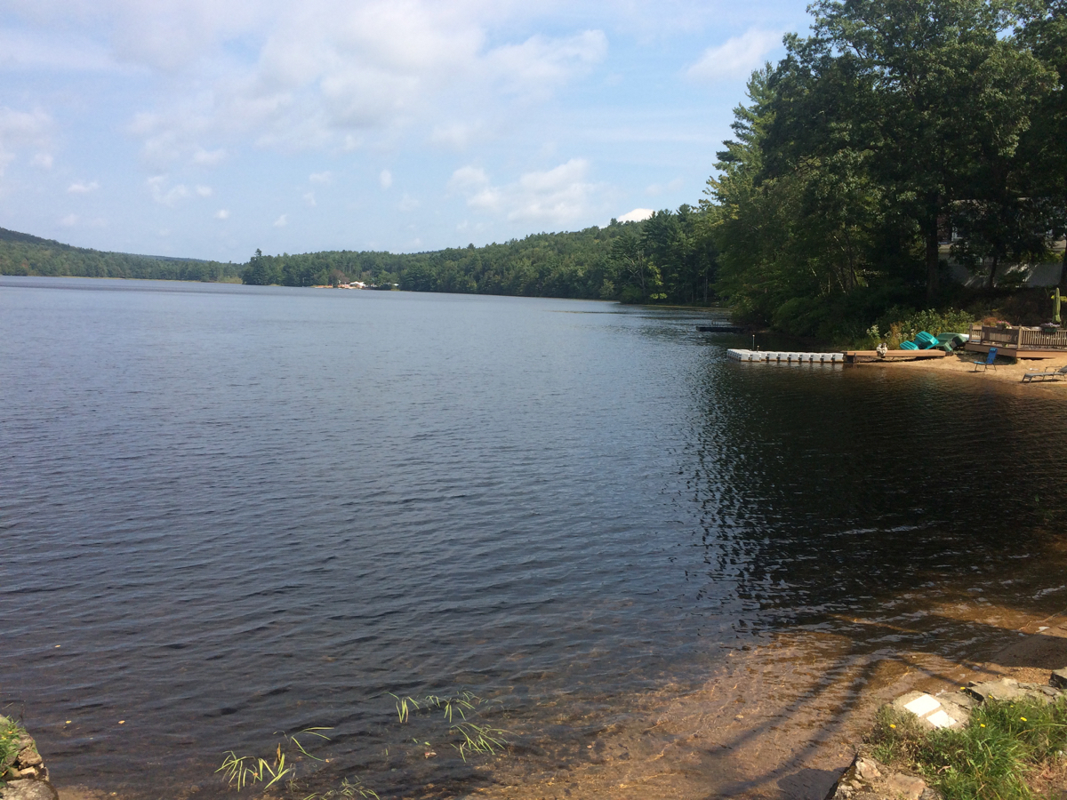
On the way to ware, I stopped off at the Quabbin Reservoir, as I often have before. Here’s what the water looked like that day:
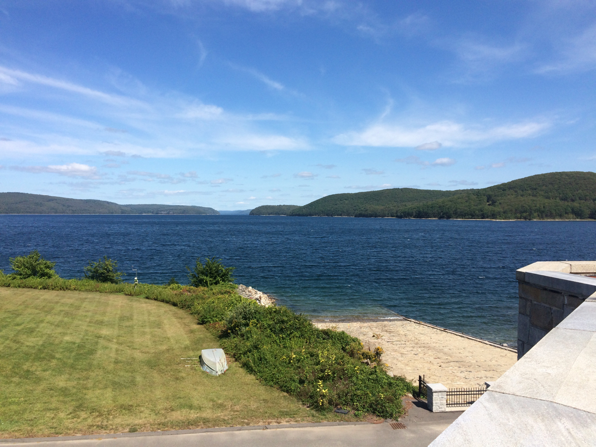
(click on pictures to see larger versions)
In the area of mowed grass to the left of that photo, I saw what appeared to be a dog or coyote:
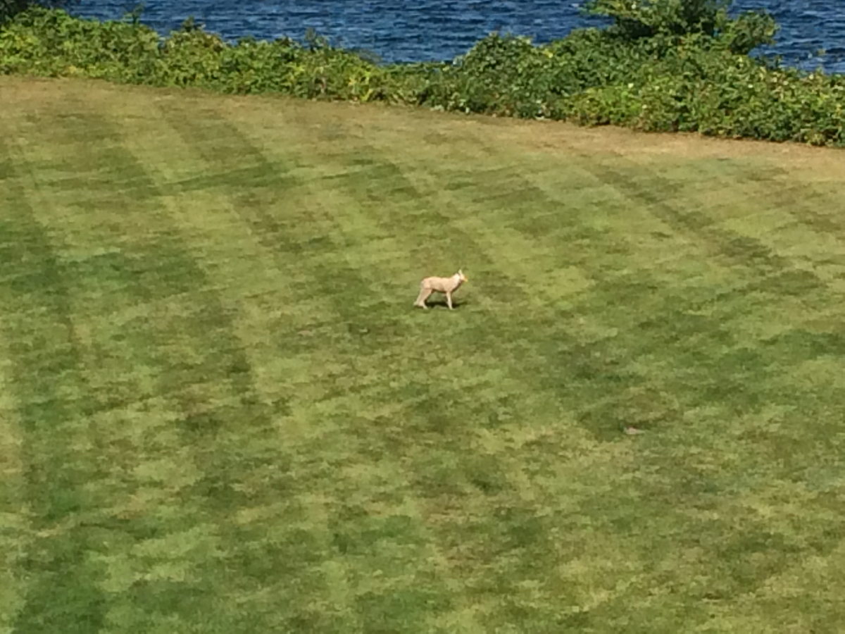
It was not moving at all. It seemed to be a statue or a taxidermied animal. I suspect that it’s there to try and scare off geese from that area.
I’m not sure how well this works, as I then rode across the Winsor Dam, and in another grassy area below the dam, I saw a flock of geese at rest, with another coyote statue a few dozen feet away from them. They did not appear to be intimidated.
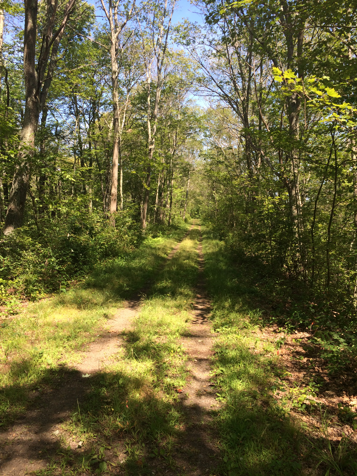
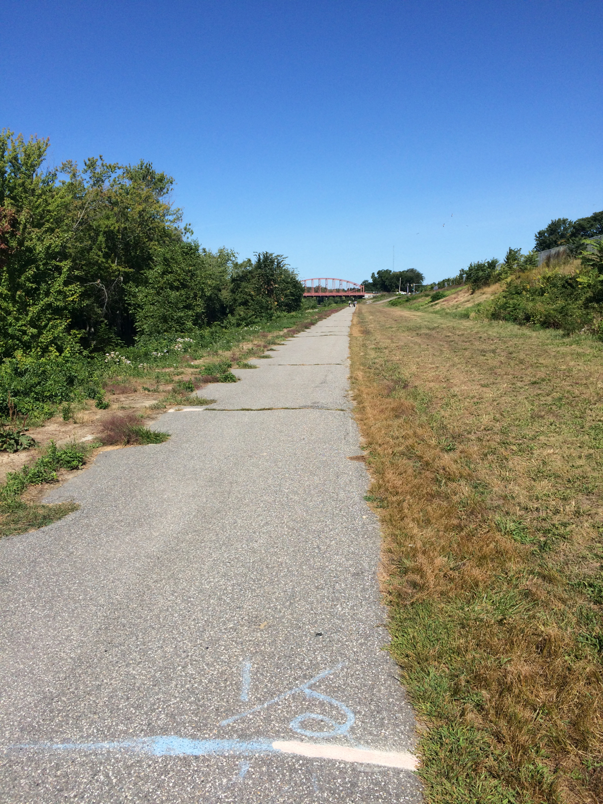
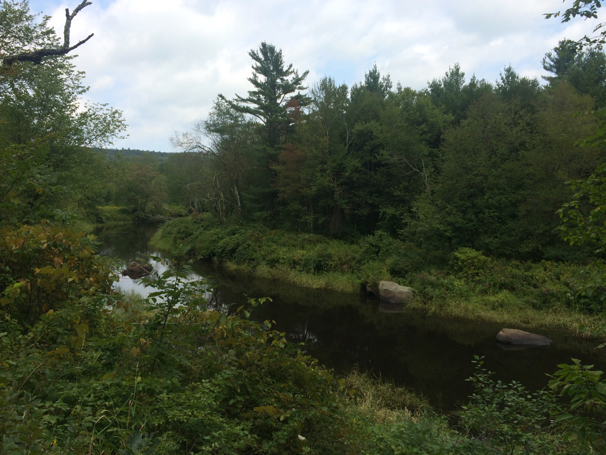
Once I passed through downtown Ware, I rode north through Gilbertville on route 32, then turned onto a side road to pick up the East Quabbin Land Trust’s section of the Mass Central Rail Trail. I was a bit surprised by the nature of the trail at its southwest end, as it was basically an overgrown dirt trail through the woods.
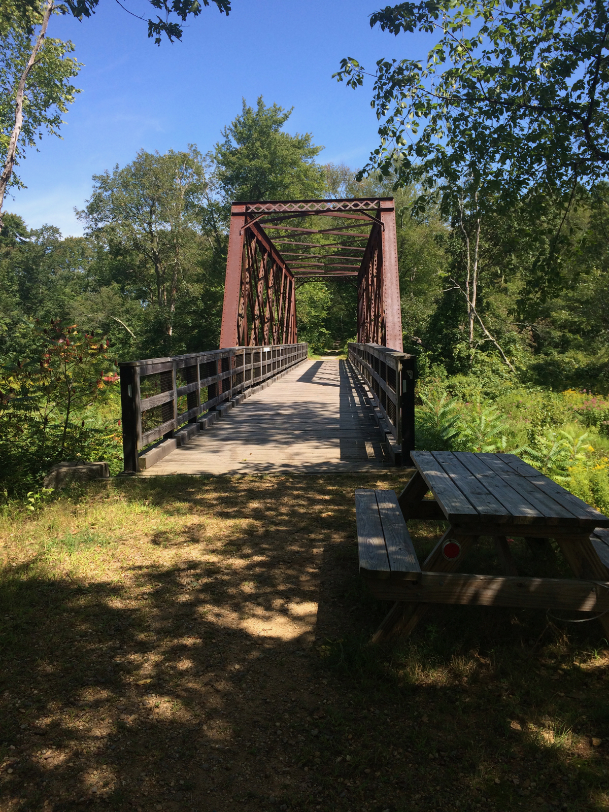
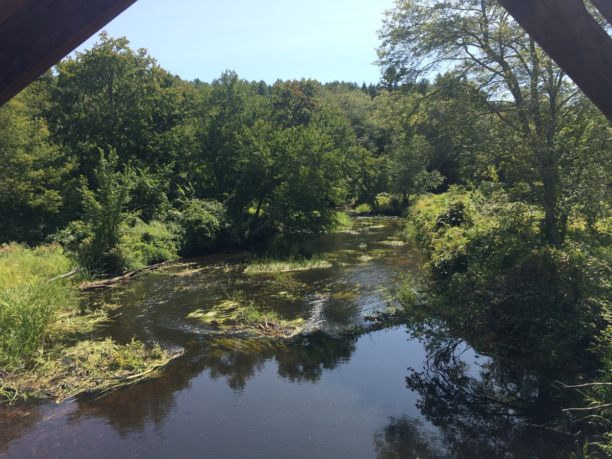
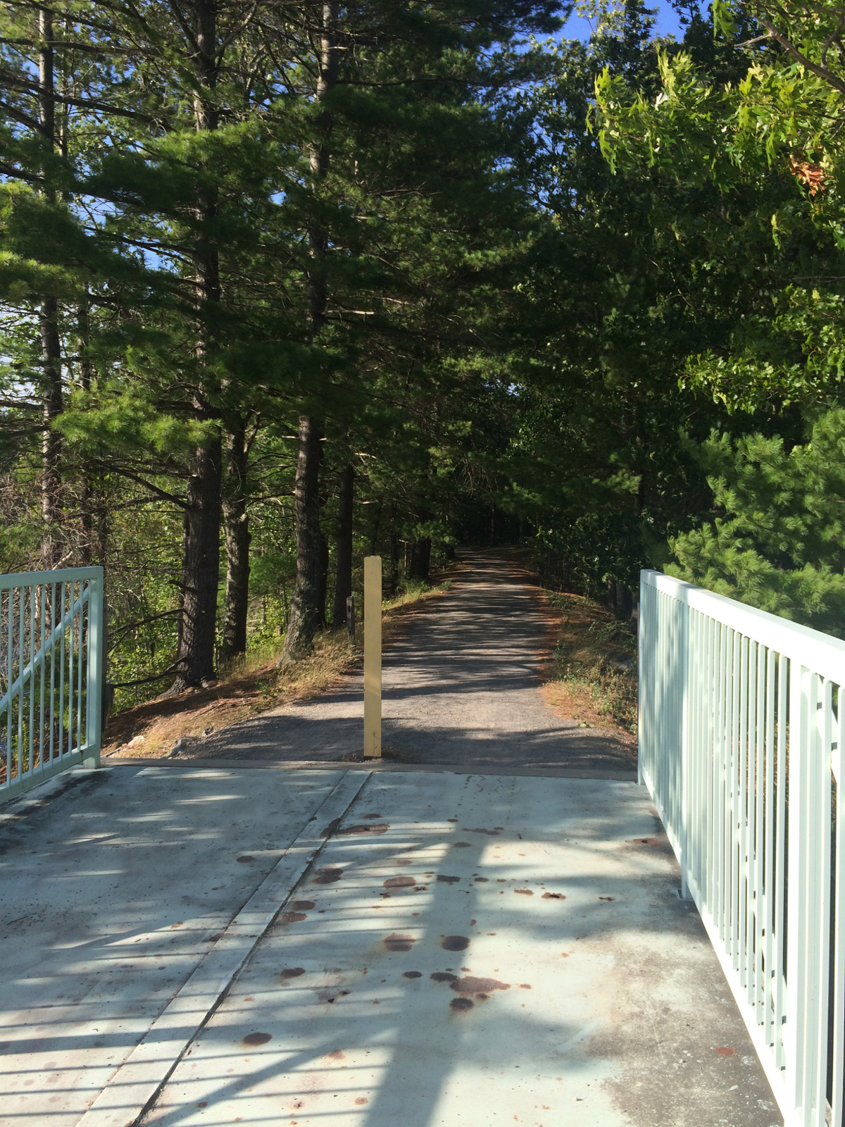
After close to a mile, I reached a bridge over a creek, and the trail was a smoother, weed-free surface beyond that. Here’s the bridge and the view from it:
There were 2 more similar bridges by the time I got to the end of the trail section (which altogether is about 3 miles long). I got back on route 32 and headed up into the town of Barre, where I picked up route 122 and started east. Shortly after that, I came to the western end of the Wachusett Greenway. I’d been at that end of the trail once before, in 2013, and the westernmost piece of that trail had still been under development. Back then the surface was a lot of gravel and loose rock, but this time it had the same smooth stone dust surface as the rest of the greenway.
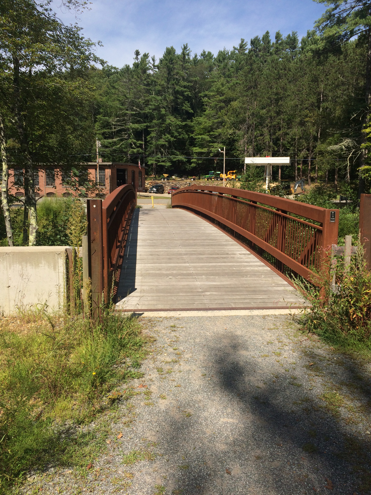
Here is the bridge that begins the greenway in Barre, the Ware river, which it crosses, and the incline heading up from the bridge.
I was on this trail section for about 7 miles, then got off it near Rutland Center, to stop and have lunch. I had a sandwich at a deli/store and spent about an hour off the bike.
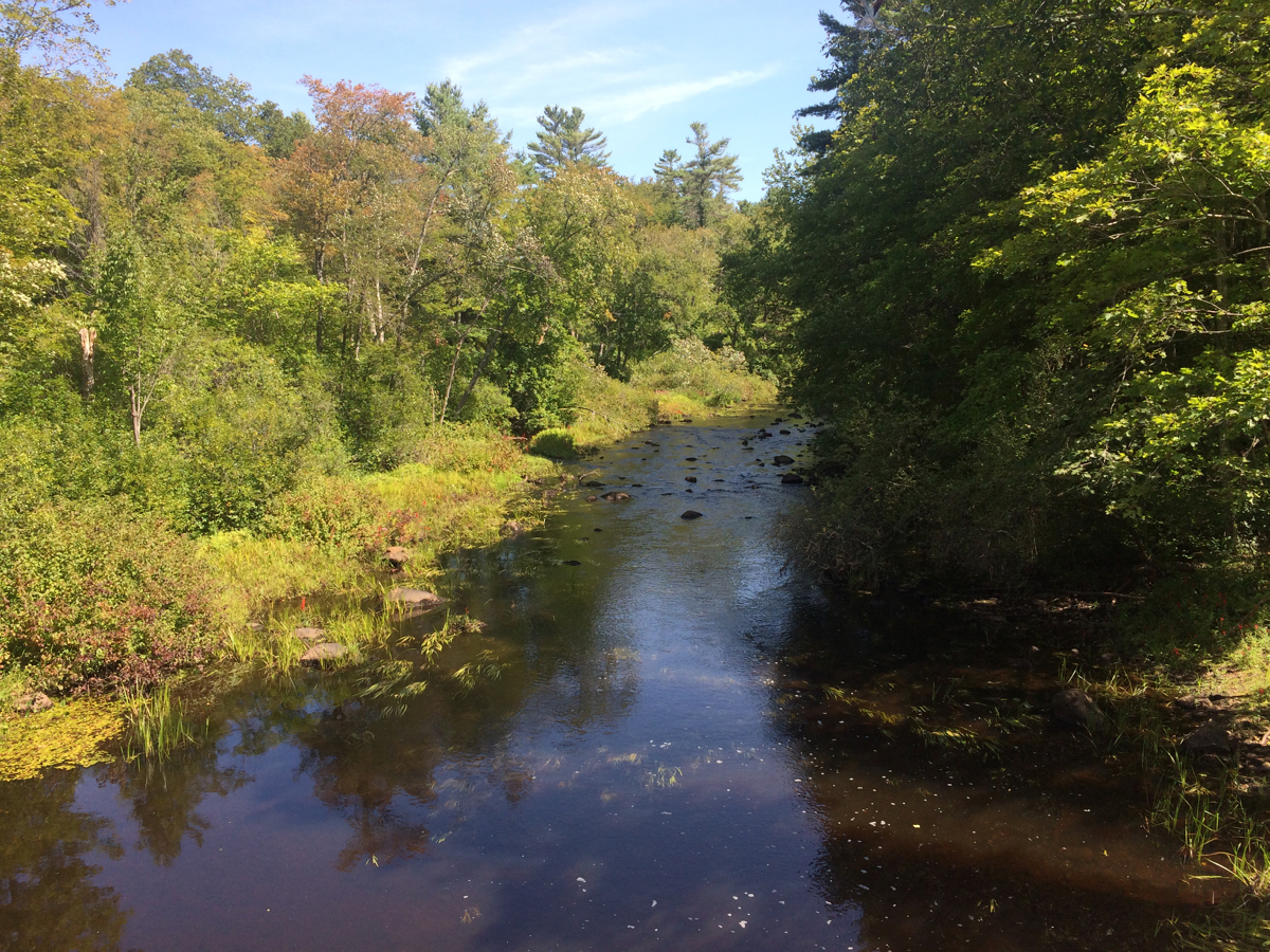
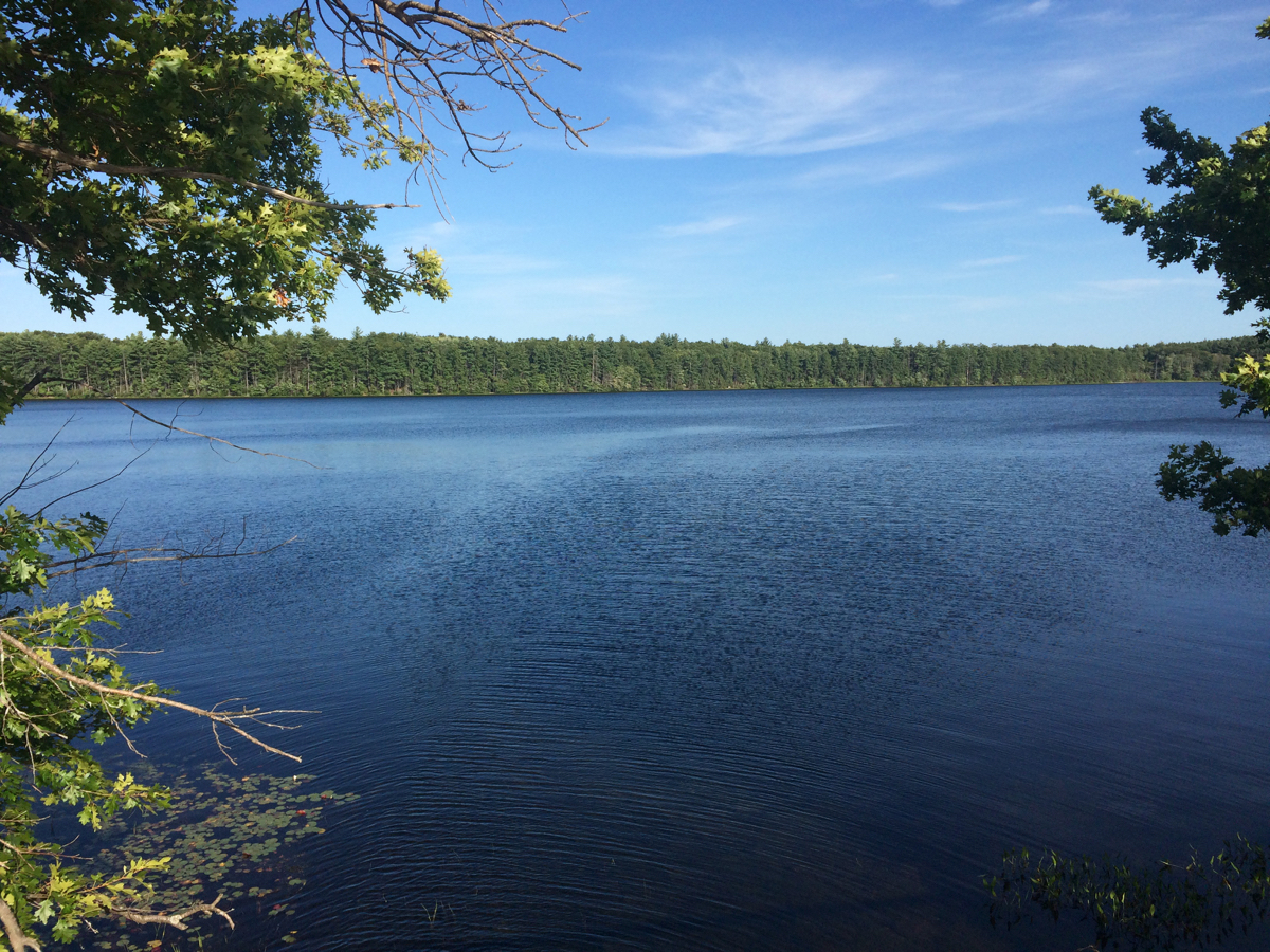
From there, I rode east on 122A into Holden, then off on side streets to the West Boylston section of the Mass Central trail. Beyond that I headed north into Sterling, and rode the section of trail there for the first time. It’s not super long, but passes through some pretty areas, like this:
From Sterling, I went east into Clinton, where I picked up route 110. I then followed 110 for most of the rest of the day of riding.
Shortly after leaving Clinton, I saw 2 different signs in 2 different towns (Lancaster and Bolton) that communicated the same warning:

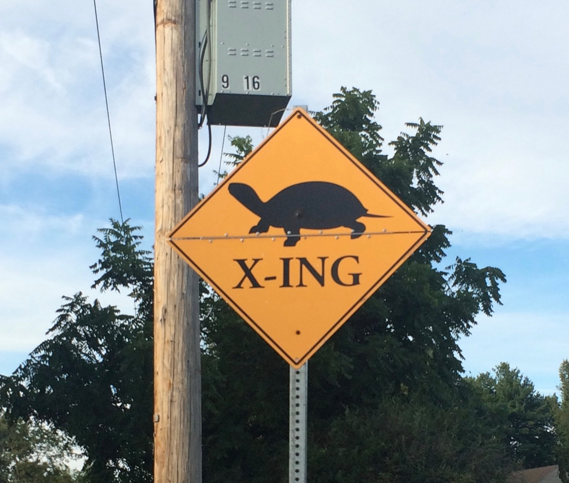
The turtle in the first one looks kind of sad, but I’m not sure that’s intentional.
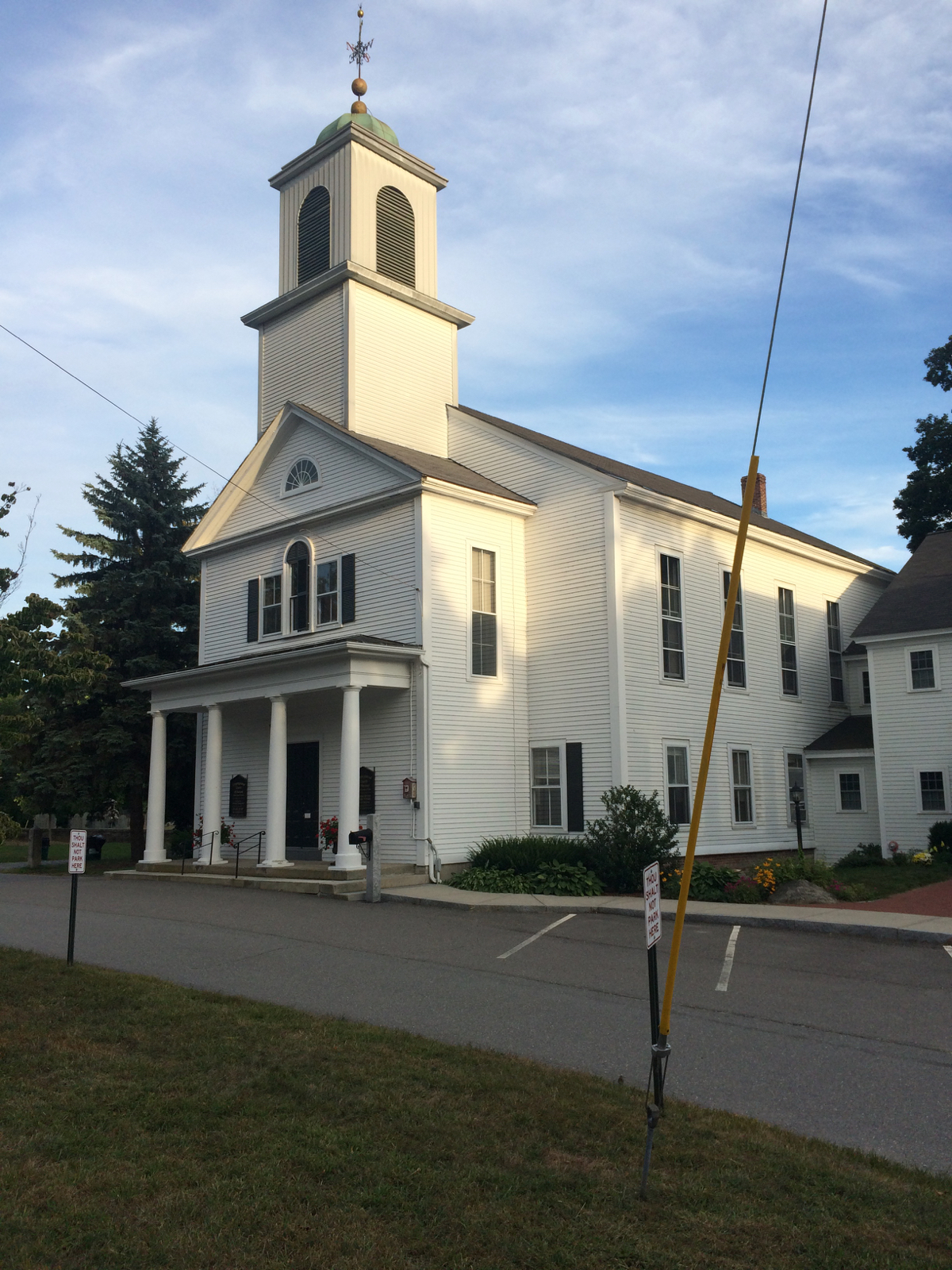
A ways later, I went through the little town of Harvard (nowhere near the university). There’s a church there that looks like many New England churches:
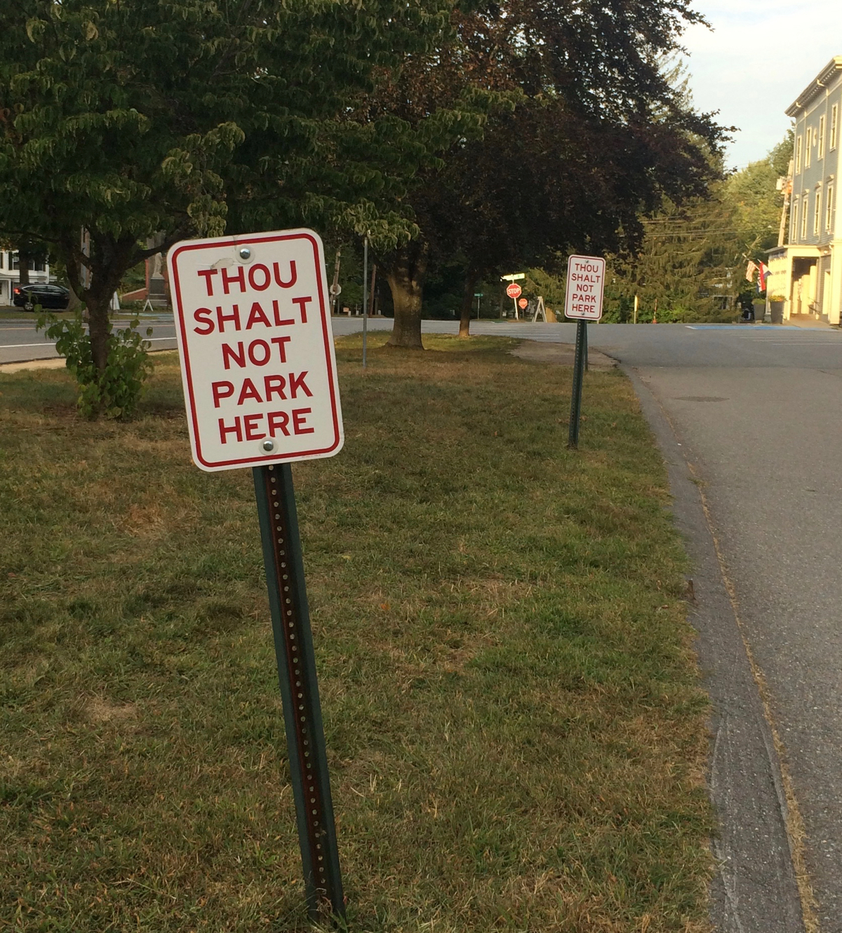
but what I found interesting were these signs in front of the place:
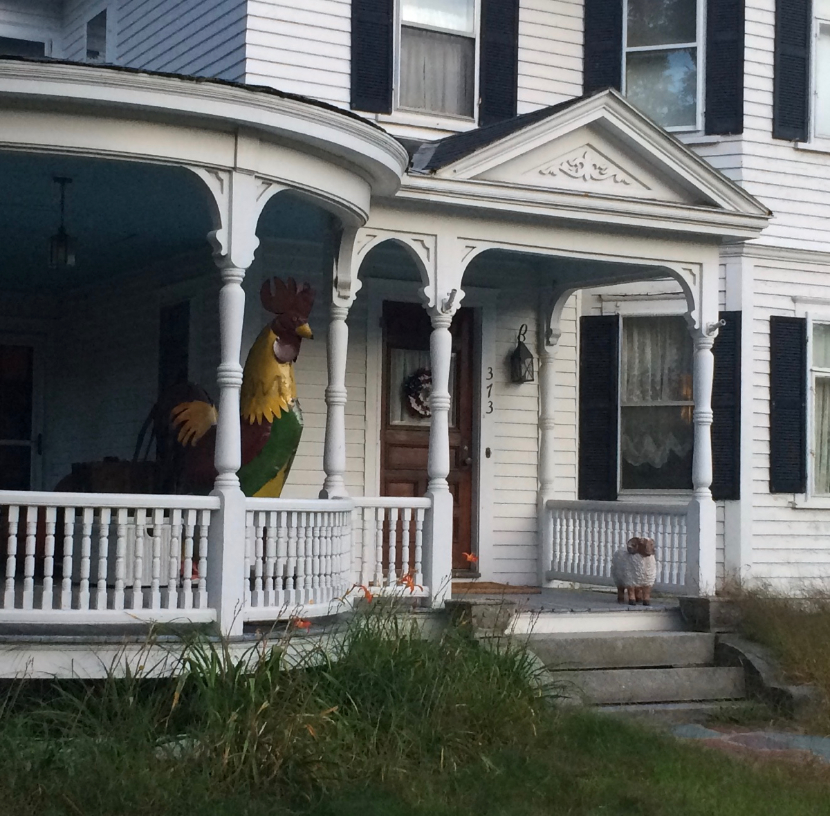
After Harvard came the towns of Acton and Littleton. Near the center of Littleton I saw a house being guarded by a huge chicken (plus a small sheep):
At this point it was starting to get dark. I put my lights on, and rode through the towns of Westford and Chelmsford, into the city of Lowell, where I stayed the night at an AirBnB rental. I got there at 8:30pm, and the total distance for the day was 95 miles.
On Saturday, I rode through downtown Lowell and across the Merrimack River, and then was able to ride a ways on a bike path that runs along the north bank. Here is the trail, with a view of the river:
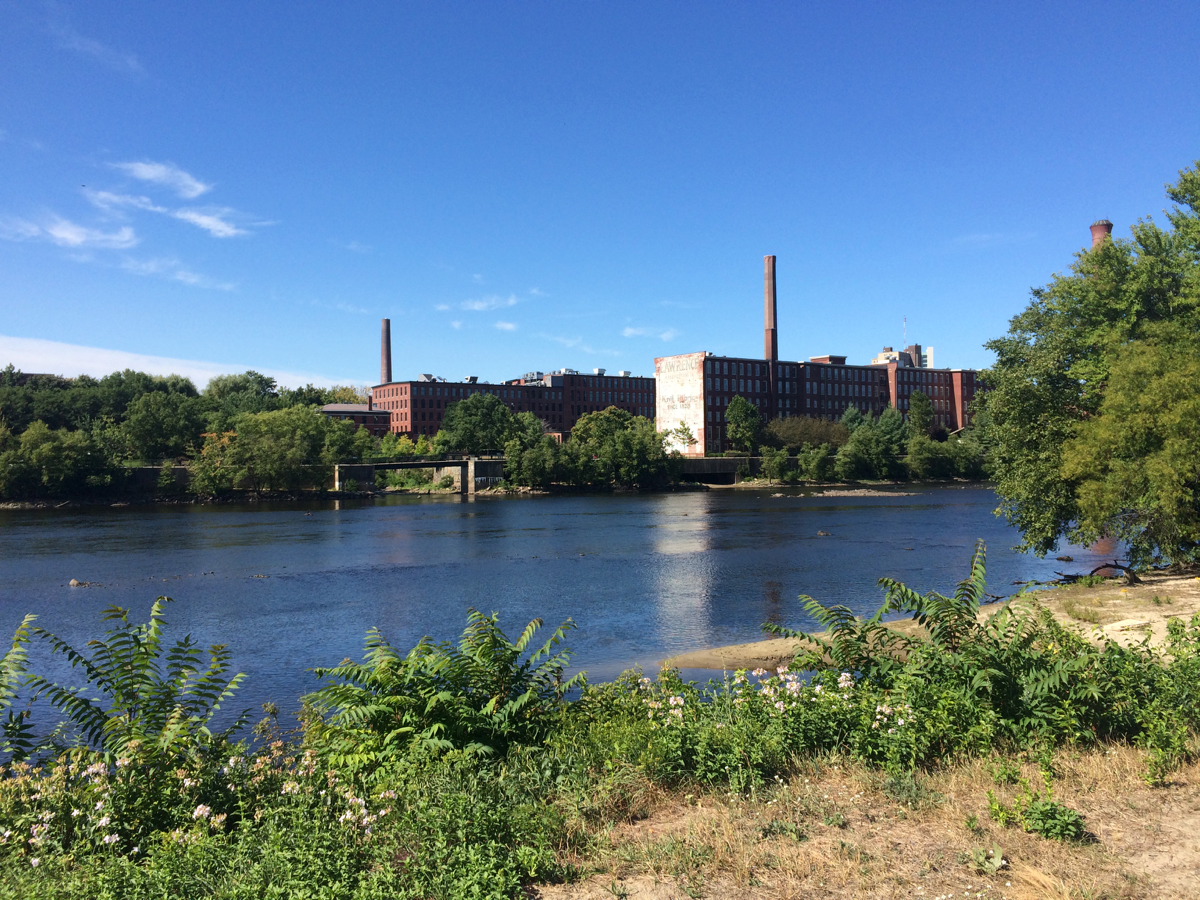
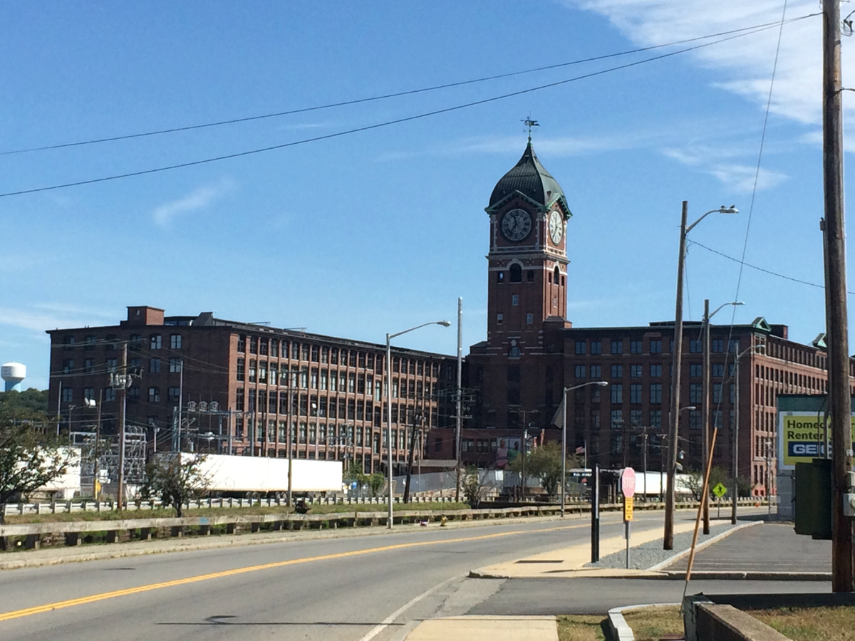
Once the trail ended, I was back on 110 to ride through Dracut and Methuen, and then I followed the river (no longer on 110) into Lawrence. I crossed back to the south side of the river, and saw this interesting building:
I then headed east out of the city through North Andover, then passed through Boxford, and into Georgetown. The route I picked was partly just what google maps had suggested, and it was interesting to pass through towns (such as the 2 just listed) that I had not heard of before.
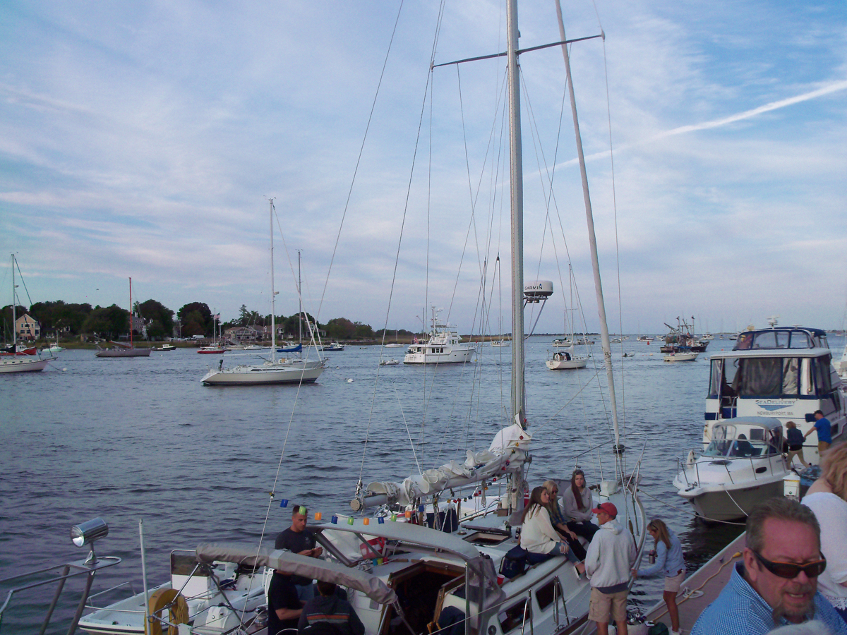
From Georgetown, I headed northeast through Newbury and into Newburyport. It was just before 1:30pm when I arrived there. I headed downtown and found where the festival was taking place, by the river. I got some lunch at one of the food tents, and ate while looking out at the river.
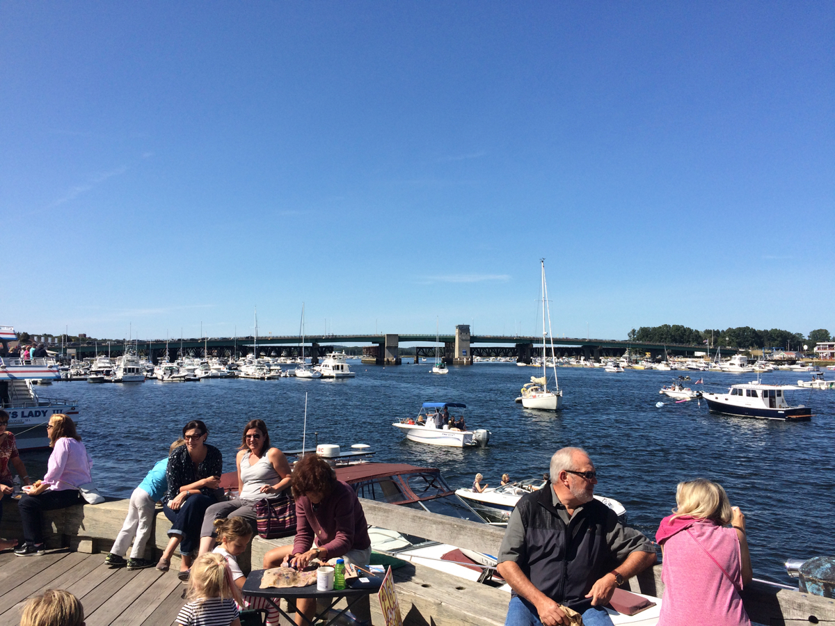
There were a lot of boats.
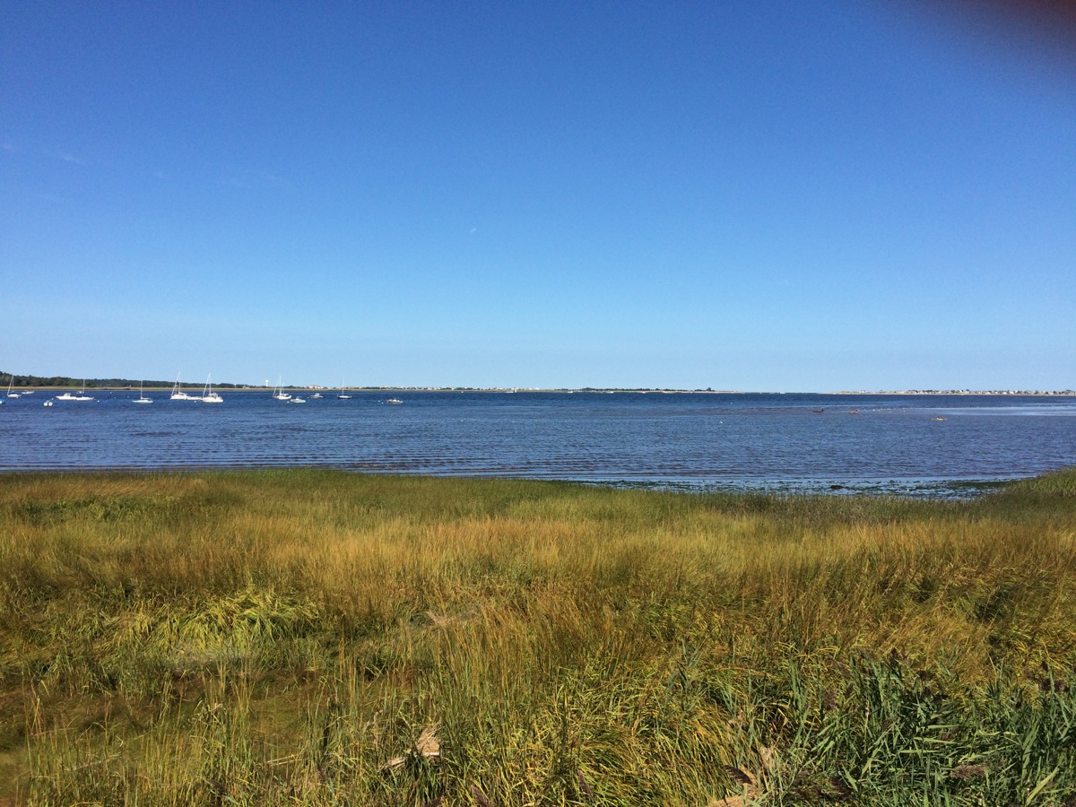
I was not especially interested in the bands playing in the middle of the afternoon, so I took a ride a few miles to the east to Plum Island. On the way there, one passes a bunch of salt marshland by the river/estuary:
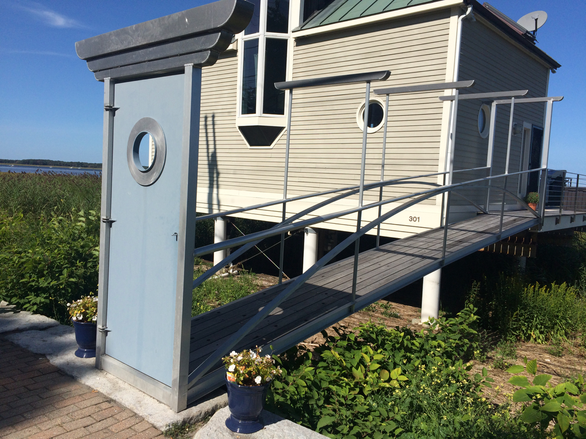
and there are a few houses along the road, including this one with a freestanding door in front of it:
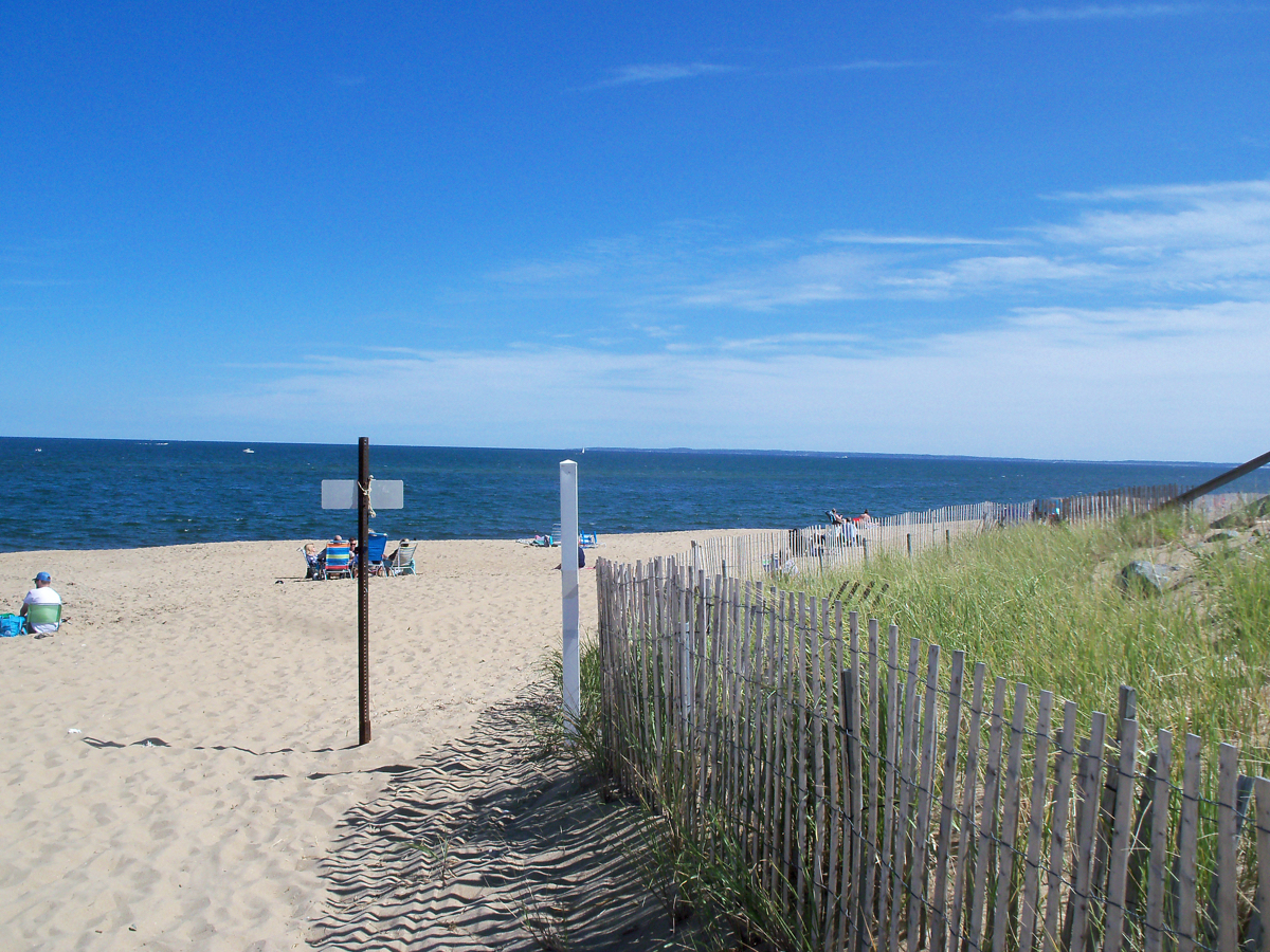
The island itself (which one crosses a drawbridge to get to) is long in the north-south direction, but very narrow west-east, so I crossed in a few blocks to the far side, where there is a beach right on the Atlantic.
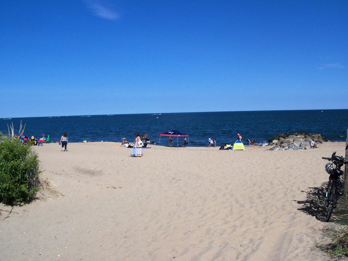
On the way to the island, I saw a number of other cyclists, and clearly some folks were visiting the beach by bike:

I was just at the beach for a few minutes, then biked back into town. I was going to be staying in Newburyport that night, at another AirBnB place, and the check-in time was 3:00. It was just 3 as I headed back, and so I went to the house to check-in, dump off my stuff, and get cleaned up.
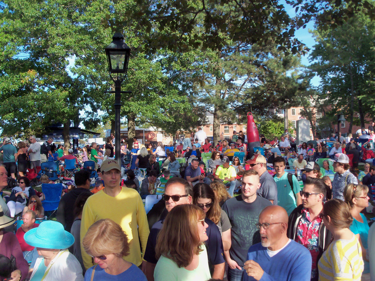
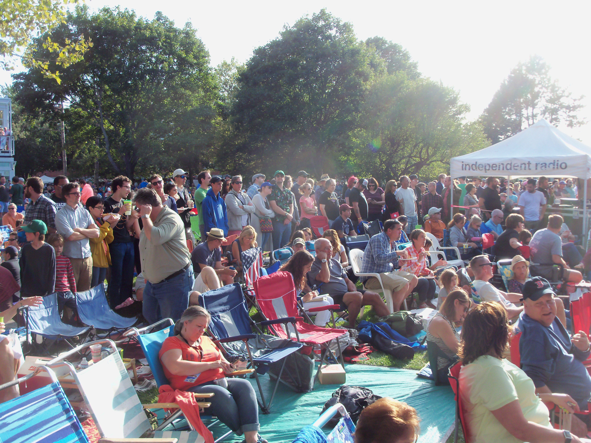
Once everything was settled there, I walked the few blocks back to the festival, and started looking for a good spot to view the stage. Unfortunately, the big grassy area in front of the stage was full of people who had put down lawn chairs and blankets and had been there all day. I thought at first I would need to stand off to the side on one of the park sidewalks. After a bit of looking, I found a spot among the blankets where there was a little space in front of a tree, so I could stand there without blocking people’s view.
Here is some of the crowd in the park:
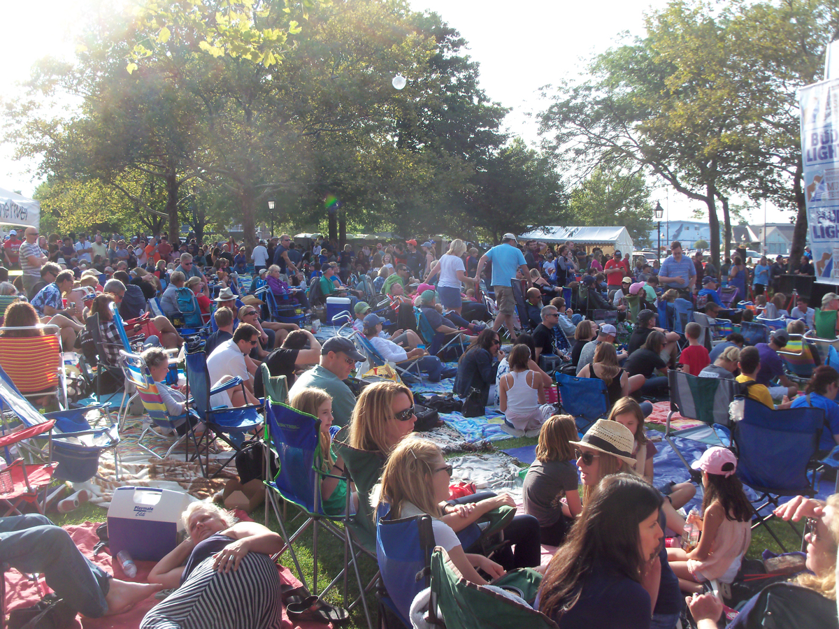
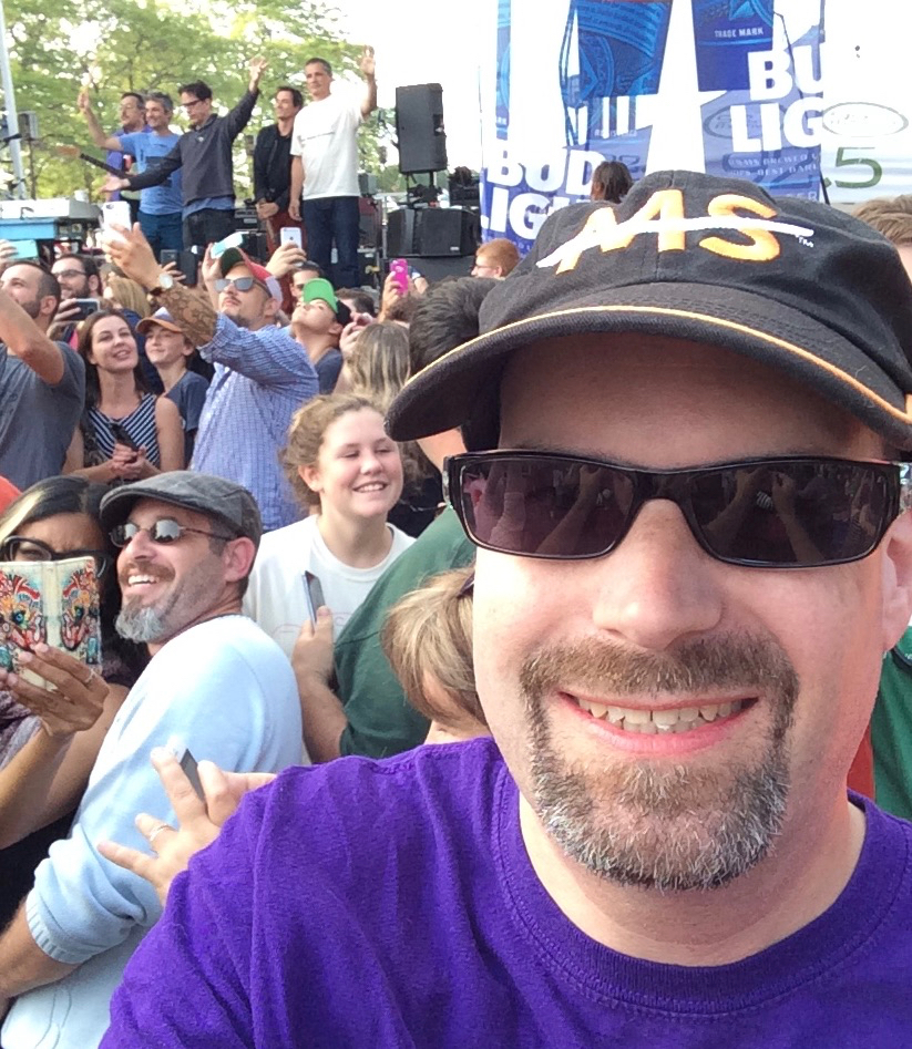
In my tree location, I was still a bit of the way from the stage, but when TMBG actually came out at 5, John Flansburgh started urging the crowd to stand up and come forward toward the stage, and for people to pack up their chairs. So, I was able to get a good deal closer to the stage.
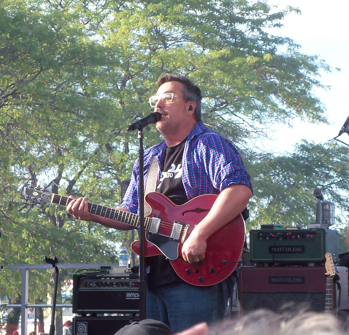
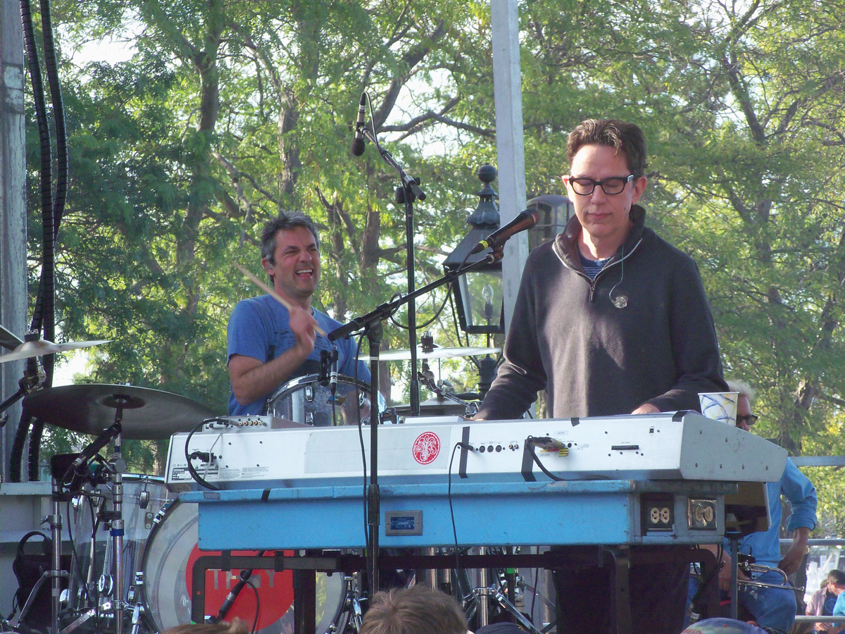
The concert was fun, as TMBG usually are. In addition to the usual 5 members of the group, they had trumpet player Curt Ramm there providing a small horn section on a handful of the songs.
Here’s Flans on stage, as well as a shot of John Linnell and drummer Marty Beller:
At one point, the band gathered at one corner of the stage, and Flans urged each person in the audience to take a selfie with the band. Here’s how they stood:

and here’s my selfie:
Here are the songs they played, for the curious:
- Damn Good Times
- Birdhouse in Your Soul
- The Guitar
- When Will You Die
- Can’t Keep Johnny Down
- Everything Right Is Wrong Again
- Ana Ng
- Music Jail
- James K. Polk
- Older
- Meet the Elements
- Particle Man
- Answer
- Number Three
- Letterbox
- Let Me Tell You about My Operation
- Fingertips
- Dead
- Dr. Worm
- No One Knows My Plan
- Istanbul (Not Constantinople)
Their set ended at 6:30, and I then walked around the downtown a bit to check things out and look for a place to eat.
Here are boats in the river as the sun went down:

I saw a large number of seagulls on a roof:

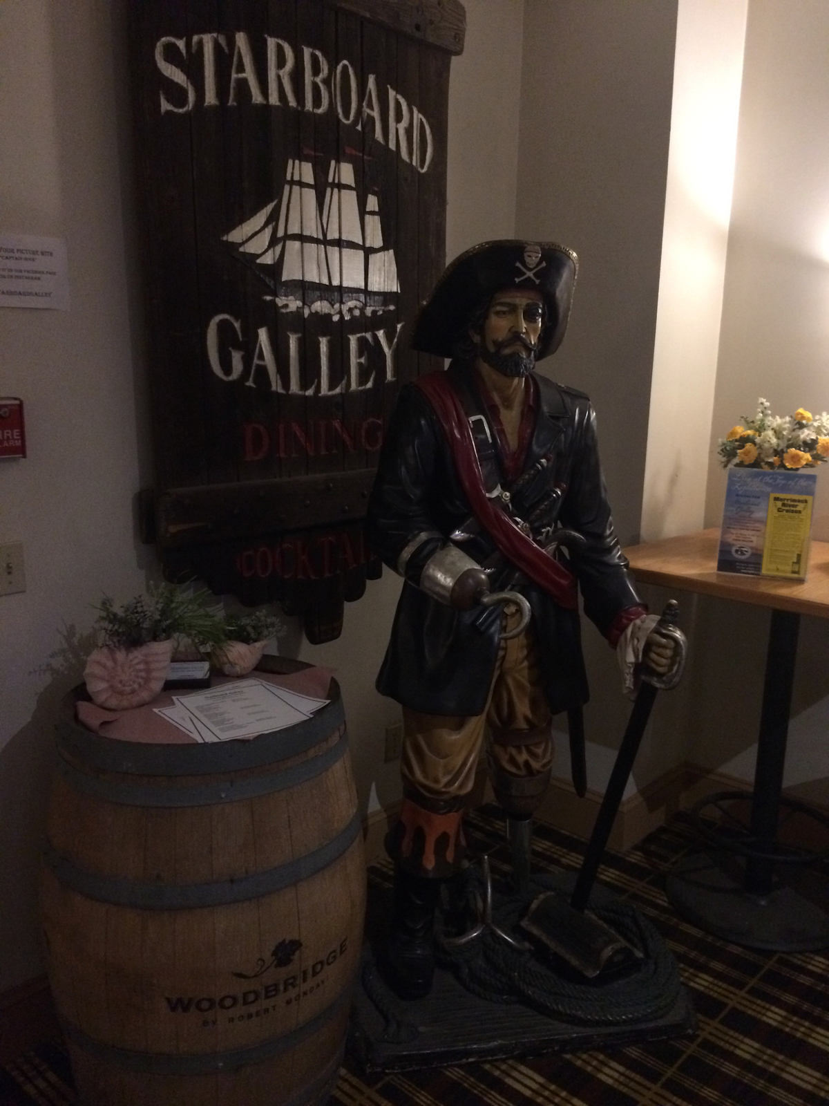
The place I ended up getting dinner was called Starboard Galley, and had this figure in their entryway:
The food was good – I had swordfish skewers (the fish was grilled with lemon pepper).
After dinner I headed back to my rented room and spent a while online and reading before bed. Including the trip to Plum Island, I’d ridden 37 miles that day.
On Sunday morning, I was obsessively checking the weather, because rain was predicted for various parts of the state. It looked like the rain might hold off until mid-afternoon, so I set out in cloudy, but dry, conditions a little after 9am feeling like most of the day would be without rain.
That turned out to be wrong. It started to rain 90 minutes after I got going, when I was passing back through N. Andover. I put my rain cover on the bike luggage, and put on a rain jacket, and got moving in the wet conditions. The rain sometimes got lighter, and sometimes got heavy, but it remained rainy throughout the day.
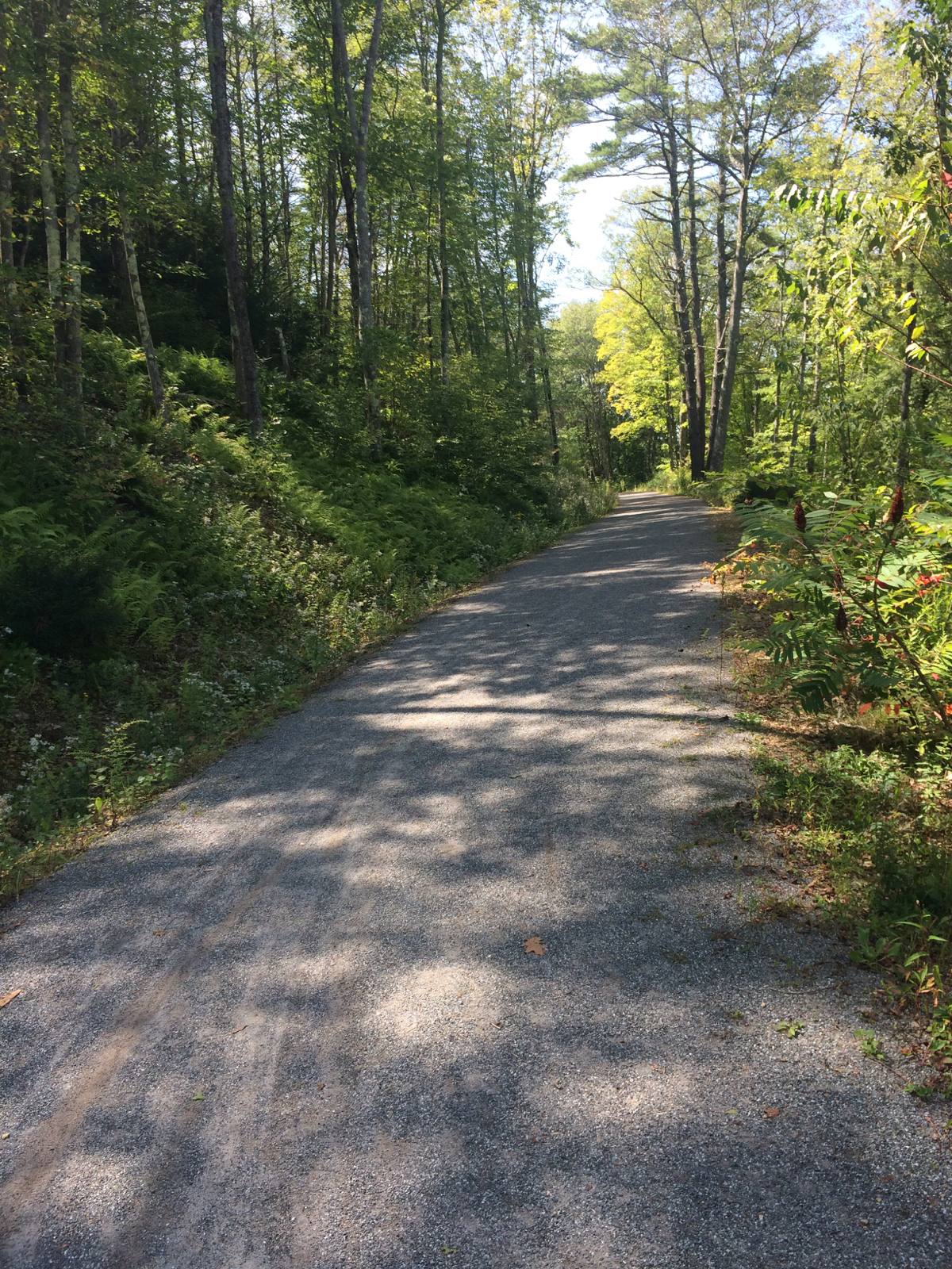
My route took me back the way I had come on Saturday, until I got to Lowell. I stopped for lunch there, which was a nice chance to be in a dry place, and then I headed southwest out of Lowell on the Bruce Freeman Rail Trail. That trail runs mostly north-south, and will eventually connect a bunch of communities. The section I was on is only complete through 3 municipalities, but it did carry me almost 7 miles. While on the trail, I saw some deer ahead of me at one point. I slowed down as I approached – one of them got off the trail but the other stood motionless on the trail edge until I was within 20 feet of it, and then it sprinted off into the woods. Unfortunately, because of rain I don’t have any pictures from that day.
After the trail ended, I made my way through parts of Acton, Stow, and Bolton, heading toward Clinton. It was a little ways after I got off route 117 in Bolton that I was unsure of where I needed to turn to go to downtown Clinton, and ended up taking a wrong turn (I was reticent to check the route on my phone because it was still raining). I did end up in Clinton where I wanted to be, but only after going a few miles out of my way.
From there, I went south through West Boylston, and headed down into Worcester. I was later than expected, but I got to my destination, a friend’s house, shortly before dark. Distance for Sunday was 72 wet miles.
As it turned out, even though the rain cover kept a lot of the falling water off of my baggage, water splashing up from the wheels had gotten into portions of the bags (the rain cover is from a past set of bags, so does not quite fit these snugly). Most of my clothing ended up wet. In this case, it was really good that I was staying with a friend, as I was able to put the clothes in his dryer. After I got a shower, we had a nice relaxing evening.
The next day, Labor Day, was nice and sunny. I got on the road at 10am, and headed west through the town of Holden, then into Paxton, which I had not been in before.
In Paxton is this pond called Browning Pond:
From there I went through Oakham and New Braintree, back into Gilbertville. The road I took down into Gilbertville has this nice river view:
I headed back south on route 32 into Ware, and stopped for lunch (a lobster roll and sweet potato fries). This sign greets one at Ware’s western town line:
Back to the valley where I live. From Ware, my ride was exactly the reverse of Friday morning. I got home just after 4:30pm. Monday’s distance was 55 miles, so my total riding for the weekend was about 260 miles. Easily the longest bike trip I’ve done.