
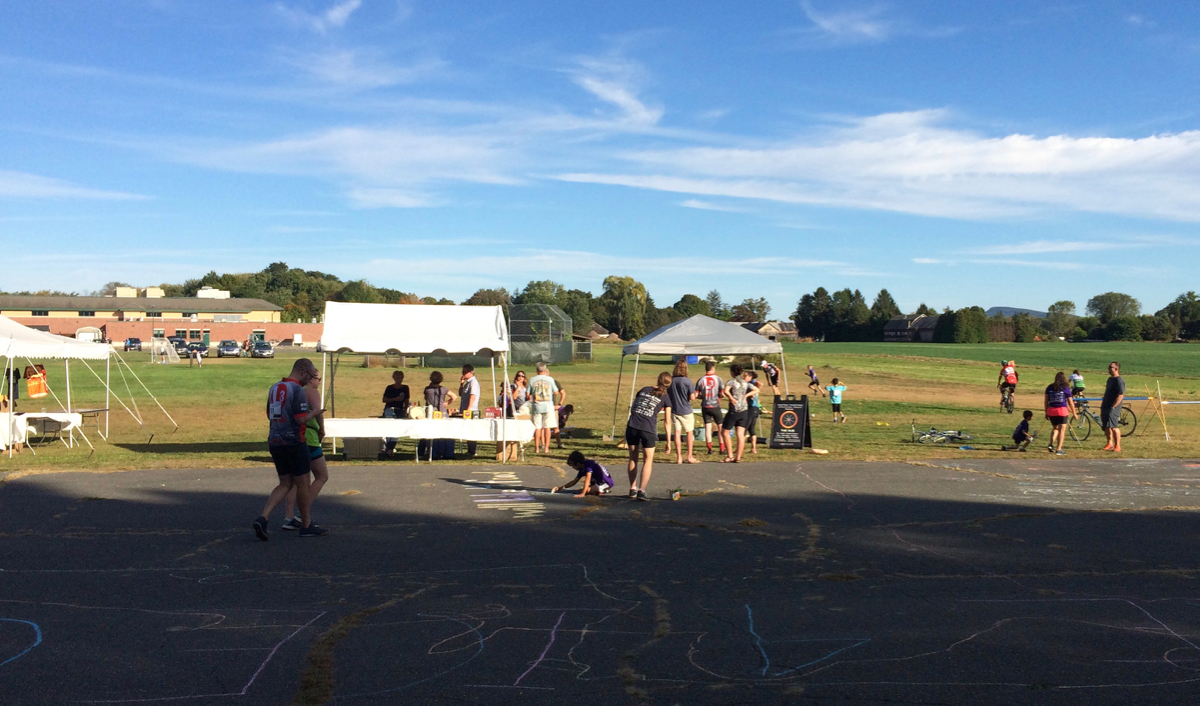
As in the past year, I showed up last Sunday right at 6:30am for Will Bike 4 Food, which was when registration opened. As I drove in to the parking area, even before unloading my bike, I saw some riders heading out as soon as they could. I was not that quick about it, as I wanted to get some food before starting. (Click on photos to see larger versions)
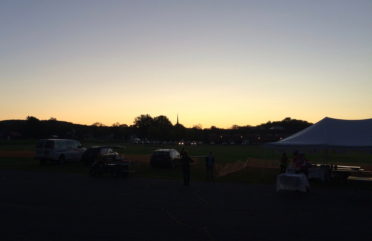
Volunteers were still getting the food out as I registered, but by the time I had checked in and put on my number bib, there were some bagels and doughnuts available. So, I was able to load up on some carbs for energy. Here, by the way, was my assigned number:

Apparently I was the 7th person to check in at the registration table that morning. After eating, I got going at 6:58am.
The course was the same as it had been the past 3 years. From the Lions’ Club pavilion in Hatfield, I rode north on Main St, which then became River Rd. in Whately. While on this road, 2 other riders caught up with me, and we rode together for quite a while, chatting. Their names were Michael and Tim. The former has been a runner for years, but only took up cycling relatively recently. The latter bikes a lot, but mostly on dirt roads. Each of them had ridden the 50-mile course in last year’s WB4F, and this year was the first ever century ride for either of them.
We crossed Route 116 in Deerfield, and continued up River Rd., which has some ups and downs (the ride had been pretty flat until that point). In the north part of town, we headed across the Connecticut River into Montague on the bike trail, and then followed that trail on into Turners Falls (as had been the case the previous weekend in Bikefest). We then crossed back over the river into Gill, continuing across Route 2 up Main Rd. (unlike Bikefest).
This was the first real hill climb of the day (at about 19 miles). There’s a bit of a climb on Main Road, but then we turned onto Mountain Road, which climbs a bunch more. Of the 3 of us, I was the slowest climber (usually the case), though Tim stopped briefly near the top for me to catch up (Michael had flown on ahead). We headed downhill, which I took a little slowly, as the road gets steep and extremely curvy at the same time. We then turned back onto Main Rd. and continued northeast.
Around mile 25 we came to the first rest area, at the Northfield – Mt. Hermon school (still in Gill). I should mention that, a few days earlier, I had come down with a cold. It was very mild in terms of symptoms, but the fact of dealing with the virus meant I was drinking more water than I typically would for this much biking. I had gone through one full bottle, and at least half of my other bottle. It was good to top them both off.
I saw Michael again briefly at this stop, but he left several minutes before me or Tim. After some water and snacks, the two of us continued on, coming soon to Route 10, following that just a bit west, then heading north on Route 142. The ride course goes alternately through bits of the towns of Northfield and Gill a couple of times, before settling on Northfield once we got going on 142.
Just after mile 31, we passed into Vermont, the town of Vernon. The road was still Route 142, even though it’s a state highway in both sides. There seem to be a number of such coordinated highway numbers between MA and VT, and also between MA and NH.
Vernon is a nice ride, though there is a long section of farm fields with no trees, and it was quite windy, including a stiff headwind for a while. I also was having some issues shifting my gears on this road – I was not able to get the chain to go onto the highest front gear multiple times. I tried adjusting it on the fly, and eventually got it to behave, but that and the wind seemed to cost me some speed. Tim also pulled a ways ahead of me, and I could no longer see him by the time the course turned west, which it did around mile 39.
The bit heading west goes uphill on a dirt road, but it is not a very bad climb, and is quite pretty (I took pictures along there in previous years, but did not want to take the time this year). This road takes one into the town of Guilford, where it becomes paved again, and heads under I-91 and up to Route 5. A quick jog north and then west brought me to the second rest stop, in Guilford Center.

This stop was at mile 41, and around the most northern point in the course. The day had been warm enough that I started out riding with only a short-sleeved jersey on top, but with long pants on. At this point, I took off the pants and just went with shorts and the jersey. I also put on sunscreen here.
I was riding by myself for the rest of the event, but there were a couple other cyclists who I passed and who would later pass me, with some alternation. From Guilford Center, the ride went southwest a ways, then straight south. I stopped by one house, because there was an interesting display, which I assume is for Halloween:
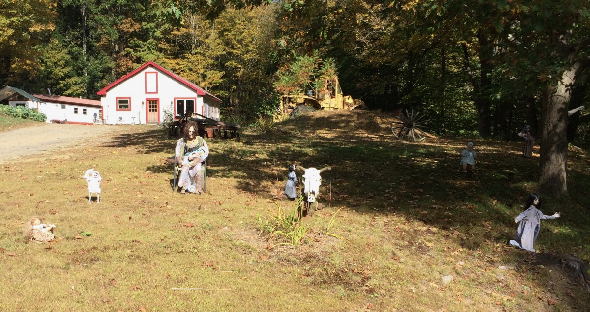
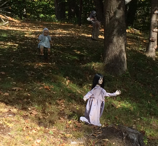
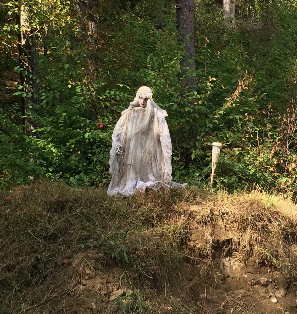
In the daylight these were a little creepy – I imagine they are much more so at night.
Soon, around mile 48, I passed back into Massachusetts. There was a volunteer there recording the numbers of riders as they passed, to presumably help the ride organizers keep track of us.
This was in the town of Leyden, and another brief stint on a dirt road took me into the town center at mile 50. I continued on west, doing a little more climbing (after a bunch of it coming south in Guilford), and then got a nice long downhill run, which ended right at the Colrain town line. The course turned south here, and headed back uphill.
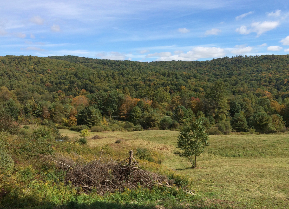
I stopped to rest after some of the climbing, and as the route went a bit more west. I was up on a ridge, and here was the view from there:
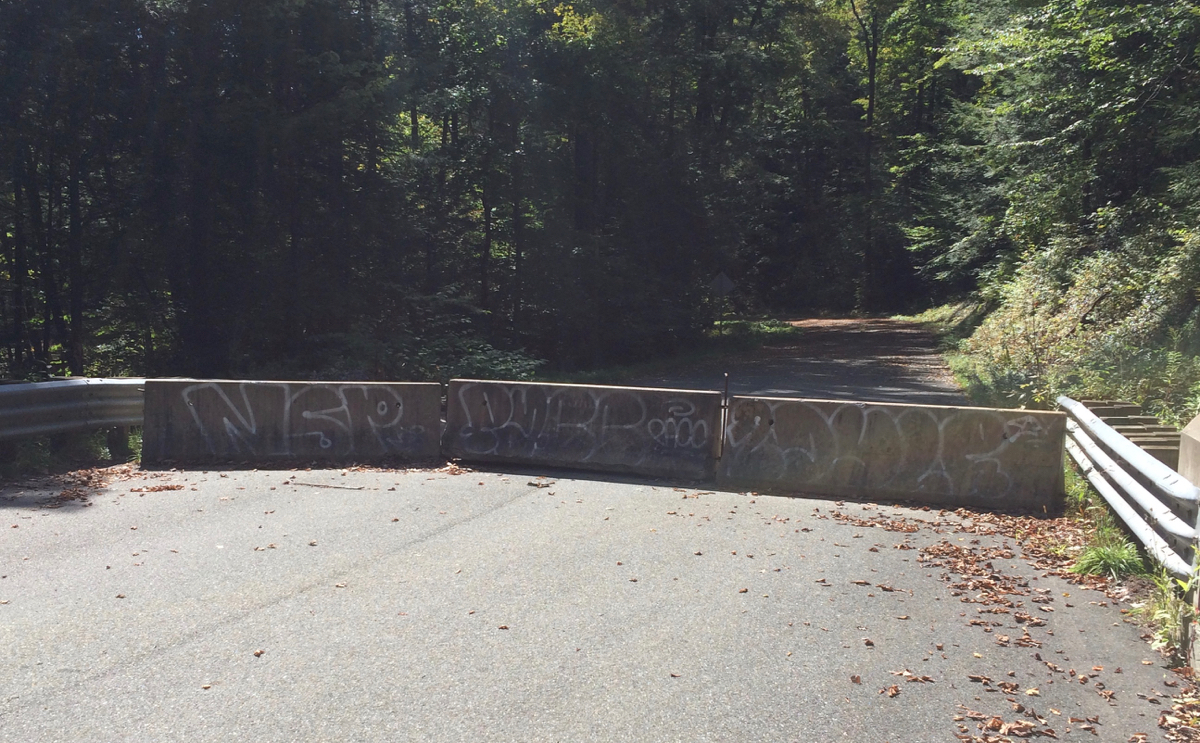
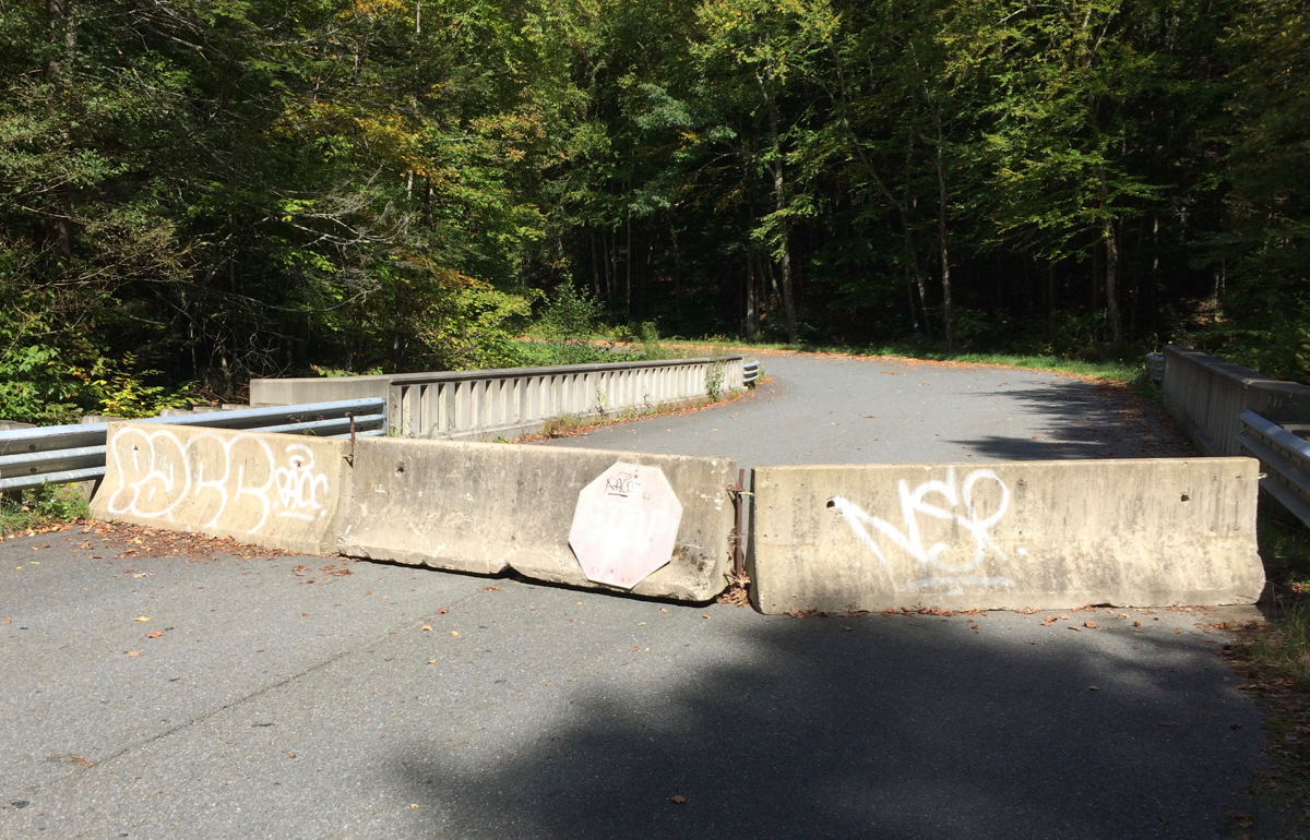
As I finished the climbing in Colrain, I hooked up with the route I’d ridden on BikeFest, for a bit anyway. I headed downhill on the same road as the previous weekend (Shelburne Line Road), and near the end of that road, crossed into the town of Shelburne. The course here turned east, and then came to a section of road that is closed to car traffic (it was closed last year, as well). I walked my bike around the concrete barrier and headed downhill – glad of having no car traffic, but wary of the many leaves covering the road, as they tended to hide sticks and acorns. I had to make sure not to go too fast.
Here’s the lower end of the closed section viewing the barrier before crossing it, and then afterward looking back.
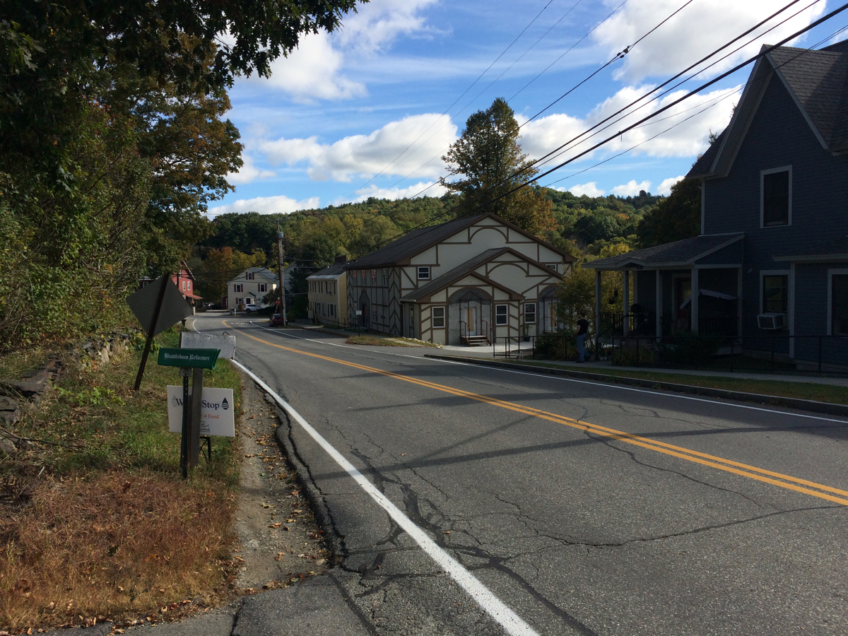
I continued downhill, and southeast, heading into Greenfield. Once there, the course took me onto the paved trail there, which runs under I-91 and along the Green River. That trail is not very long, and once it ended I was riding on some side streets, crossing Route 2A, until I got to Routes 5/10. The course then followed those highways south a little ways into Deerfield, and then we turned off into the Historic Deerfield area.
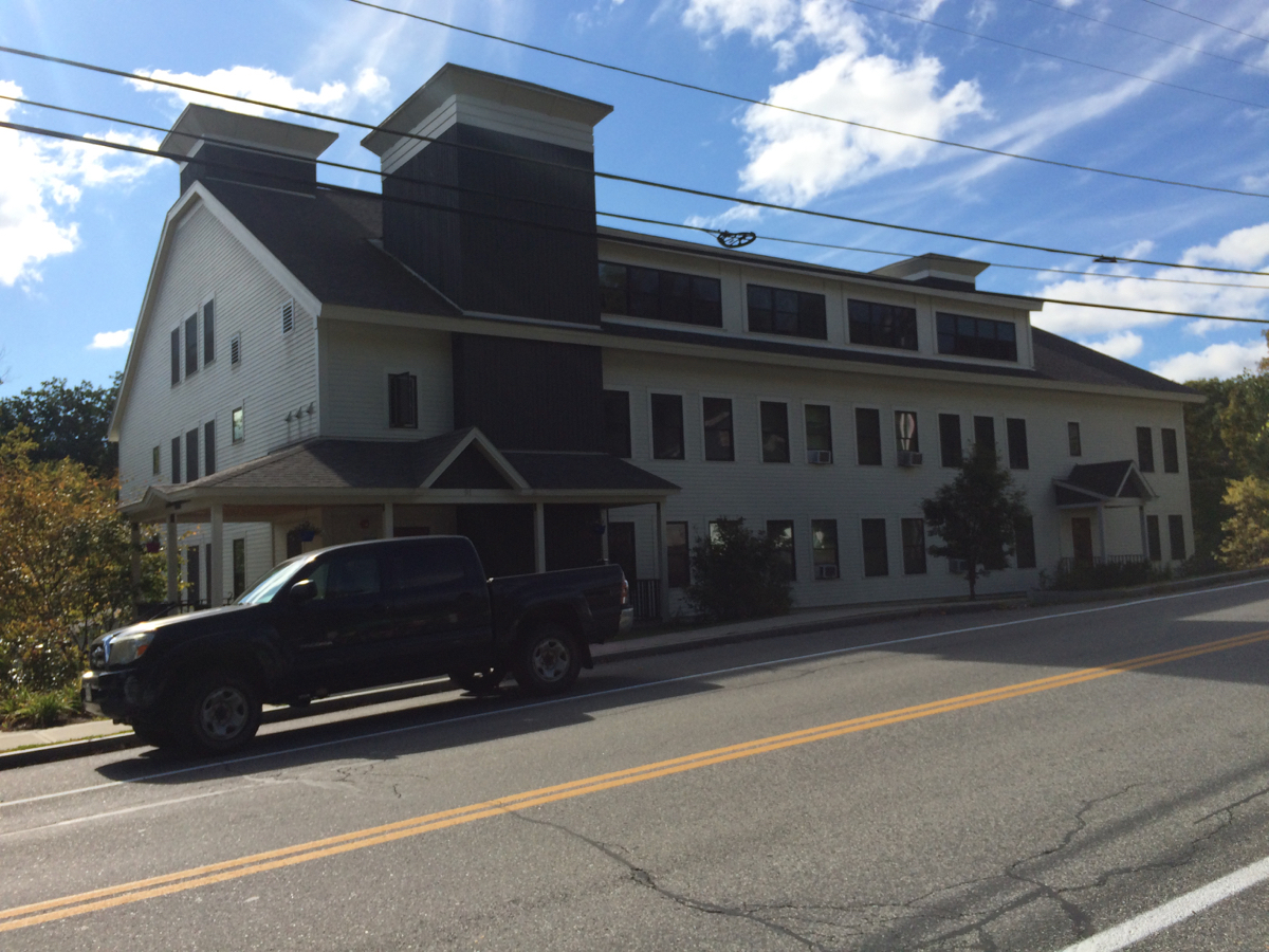
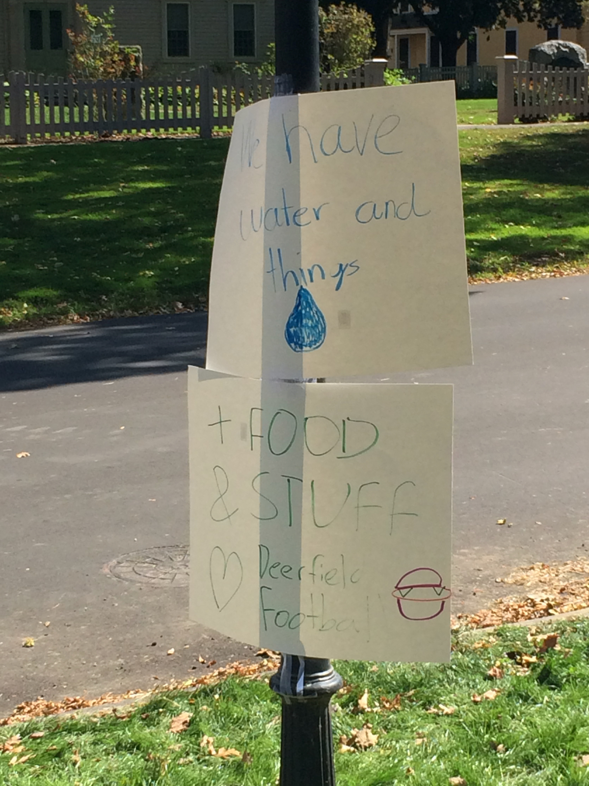
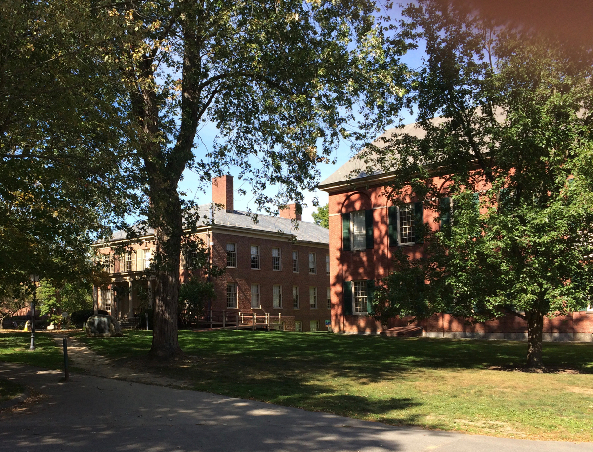
This is where the third rest area was located – right by Deerfield Academy. The school’s football team was staffing the stop, and they were very boisterously greeting all cyclists who came by, whether the cyclist stopped or not.
Here are the signs that were posted at the stop:
And here are some of the school buildings:
At this point I was 2/3 of the way done. I continued south from there, and then angled a bit east, and passed south through Deerfield Center, before crossing Route 116 and heading into Whately. There were 2 rest stops in Whately, reasonably close together – so as to serve riders on different routes. I did not stop at either of these, given that I had stopped so recently. I kept moving to make time.
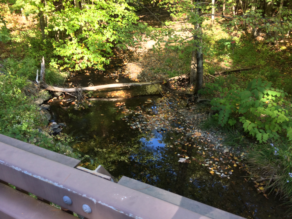
The ride got just into the town of Hatfield, and then headed off to the west. After crossing I-91 again, the course climbed again, on Westbrook Road. This climb starts out steep, but that section is short, and then it is fairly gradual, if long. Fortunately, this late climb did not stop me short as it had last year – I got up the steep part and at least halfway along the road before stopping to have a quick rest. When I did stop (in Whately again), I took a picture of West Brook itself:
I then finished this climb, turned left on Haydenville Road, and went a bit downhill. There was then another slightly steep climb, but this climbing was shorter, and I got to the top in fairly short order. The road then went a bit south, but also further westward, into Haydenville (which is a village of the town of Williamsburg). The course turned off further west, heading uphill once more, for another somewhat long climb. This was the last significant climb of the day, and I did have to stop and rest again, just once, on the way up.
Shortly after this climb I got to the final rest stop. The volunteers there were in the process of taking things down, as they were going to leave after the last cyclists came through (and there were only a few cyclists behind me – a couple showed up while I was there, and then took off before me).
From here, we made our way to Willamsburg center, riding for a bit on Route 9, and then turned back east on a route south of the way we’d come. This road mostly went southeast, heading into Northampton (the village of Leeds, technically). This had a bit of up and down, but nothing that presented a great challenge at that point. I headed into Florence (another village in Noho), and through its downtown, crossing Route 9 again, and then got on the bike path for a spell (a shorter spell than during Bikefest).
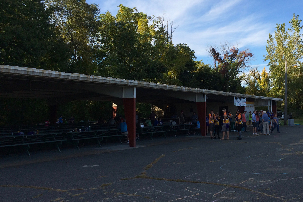
The course went off the path onto Hatfield St., heading north and east, then going north on Routes 5/10. Finally, I went straight east into Hatfield, back to the center of town and the Lions’ pavilion where I’d started. I got to the pavilion right at 3:58pm, having shaved 28 minutes off my time from last year. There were plenty of participants still around, as the after party was scheduled to go until 5:00pm:
The total amount of contributions people made to my ride was $1410. I matched that, so the Food Bank got $2820 from my efforts. I’m glad to have had this opportunity once again, and especially happy to have a new personal record. My thanks go out to everyone who supported me!