
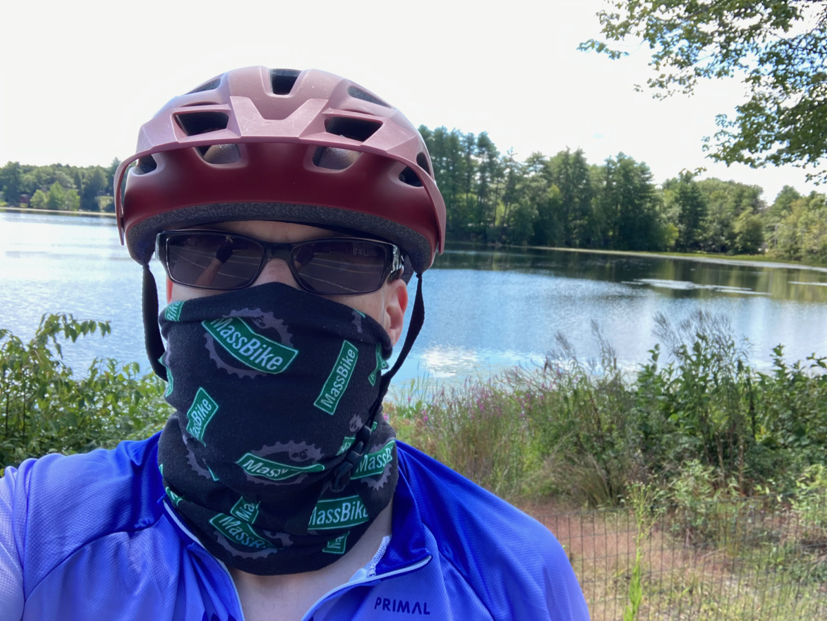
Before I describe this ride, I want to start off by noting that my fundraising goal has already been surpassed! That happened within a little over 2 days, which is certainly a record for my involvement in Will Bike 4 Food. The generosity is great, and I hope even more will be contributed (I’ll match it).
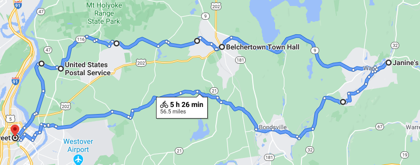
Today’s ride was the first one for the event, and I covered mostly territory that is familiar to me – heading out east to the town of Ware. Here’s a rough map of where I rode – I was on the southern-more path as I went east, and came back west on the northern route (click on photos to enlarge):
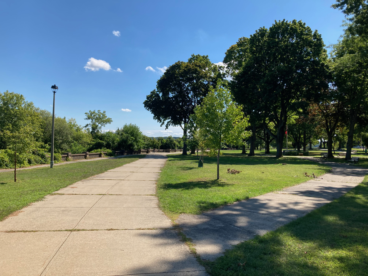
I began by taking a quick ride through Pulaski Park before leaving Holyoke. It’s a park that runs along the Connecticut River, where people can look down on the river. Here’s what the park looks like:
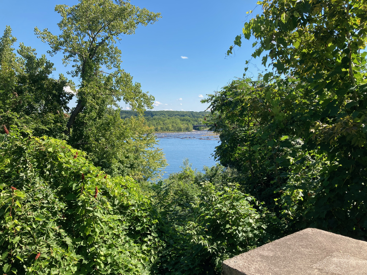
Unfortunately, there are many spots where the view of the river is blocked by trees:
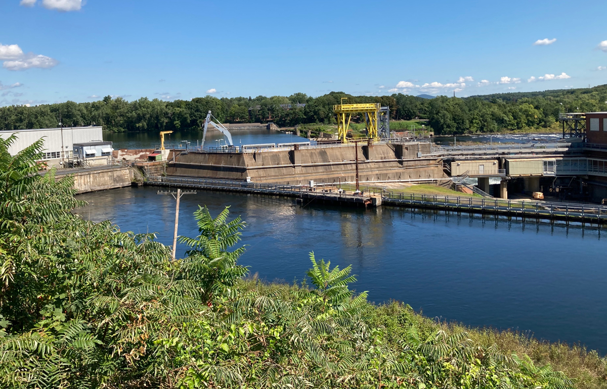
Toward the south end of the park, one can get a view of the beginning of the city’s canal system (water is diverted in here just before the river gets to the dam):
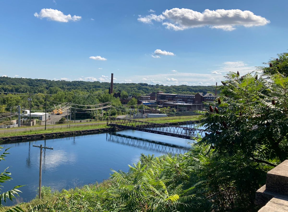
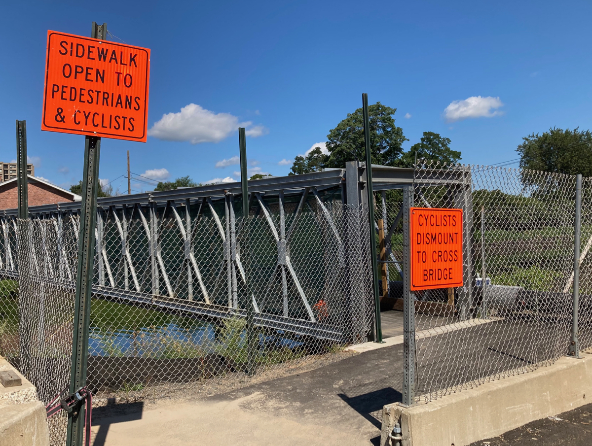
After leaving the park, I headed across 2 of the canals, where the normal bridge over one of them is closed for construction, but there’s a little side bridge for cyclists and pedestrians.

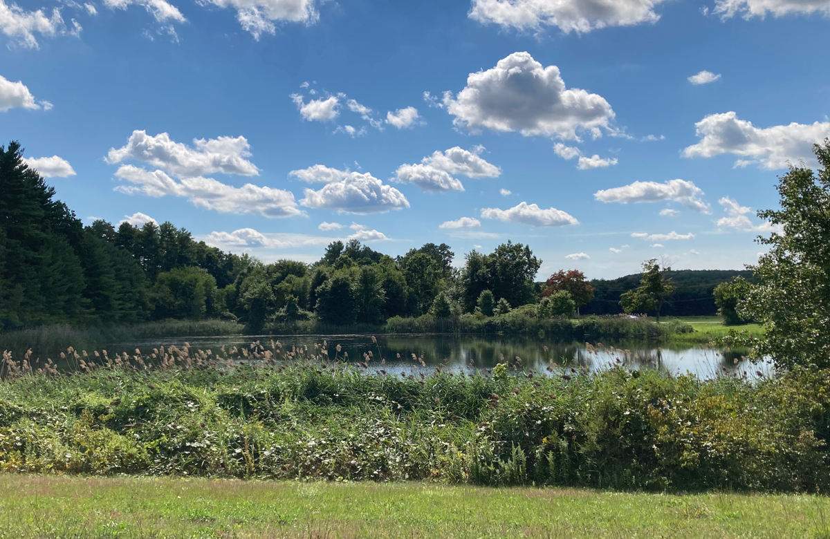
I headed across the river into South Hadley, and then went a bit south and continued east, heading uphill into the city of Chicopee. I passed through just the northern part of Chicopee, and then was back in South Hadley, and before long entered the town of Granby. I stopped for a quick rest partway through Granby, by this little pond:
Just after this point, I began my first big climb of the day. It’s a long climb that goes up into the town of Belchertown, and after hitting the peak, the road immediately heads downhill a whole bunch, until it intersects route 21. I turned south on 21 for a very short bit, then went east again, on a road that eventually turned south and took me into the town of Palmer. That road comes to an end and I turned east again, heading into the village of Bondsville (part of Palmer). Here’s what the village center looks like:
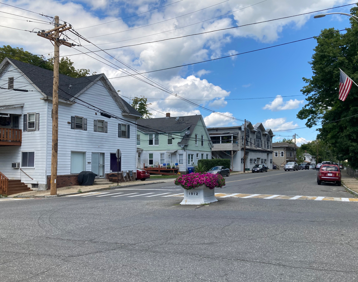
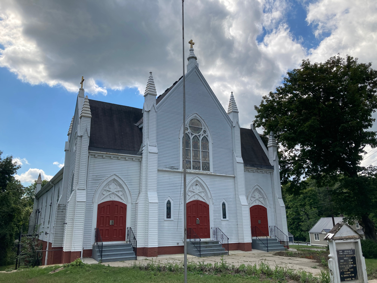
Behind me as I looked at that intersection was a church building with a “For Lease” sign:
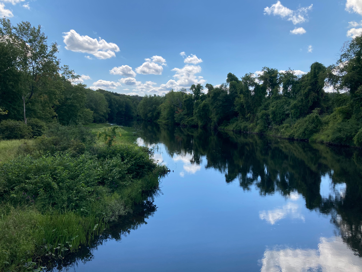
From there I continued east, and soon crossed the Ware River. Here’s a view from the bridge, looking south:
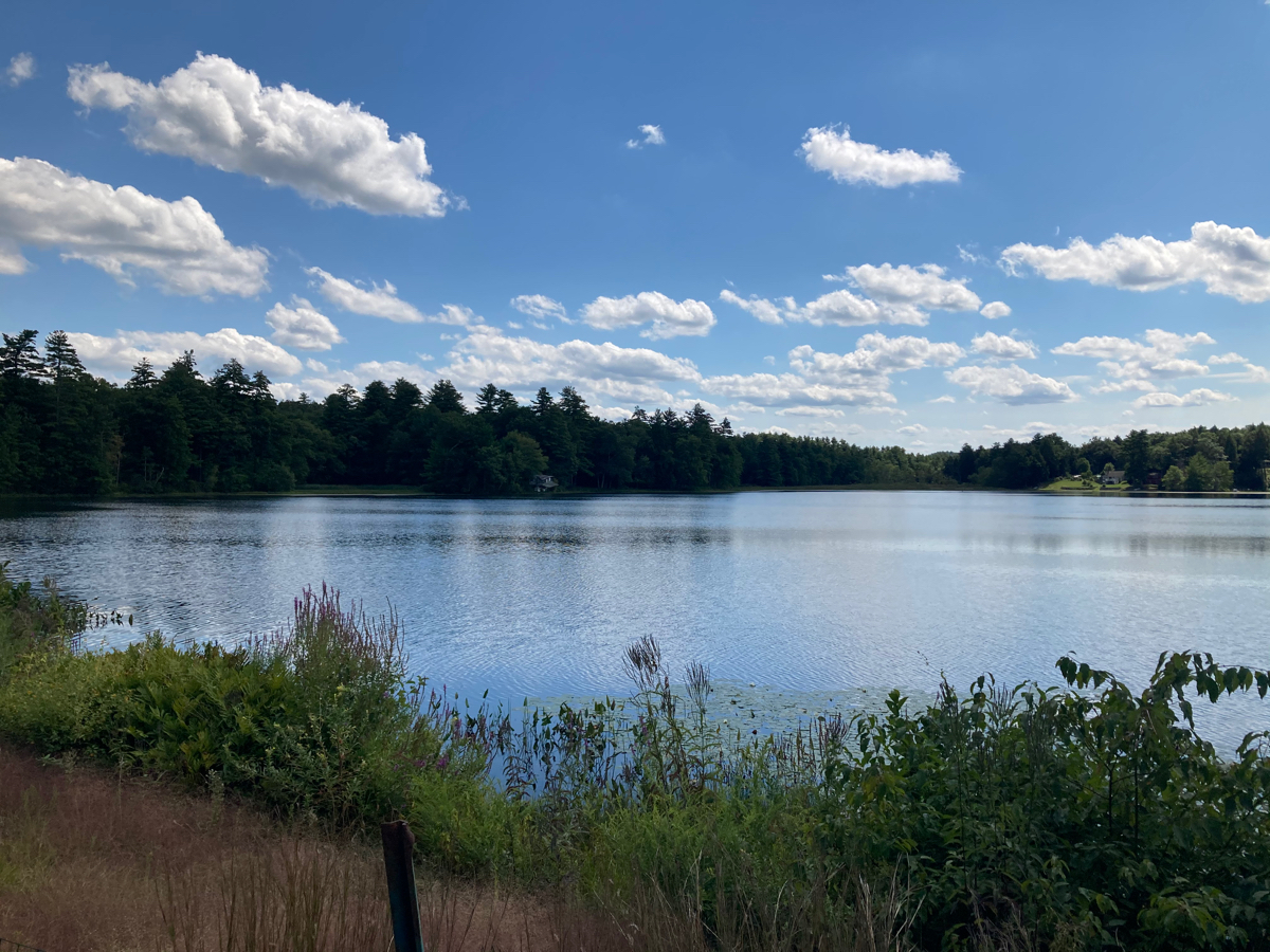
Just after that I had to turn north, but the road I was on then started to bear east. I stopped as the road passed Forest Lake:
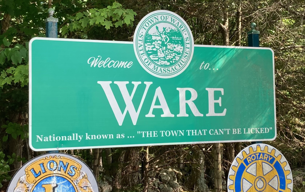
Just after this I reached route 32, and headed north on it, into the town of Ware. As I’ve seen in the past, Ware is apparently known as “the town that can’t be licked” – they say so on their welcome signs, in fact:
I rode on some side roads across town, eventually ending up on route 9, and got to Janine’s Frostee near the eastern edge of town. I stopped there for lunch.
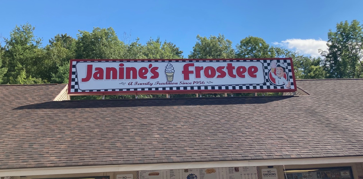
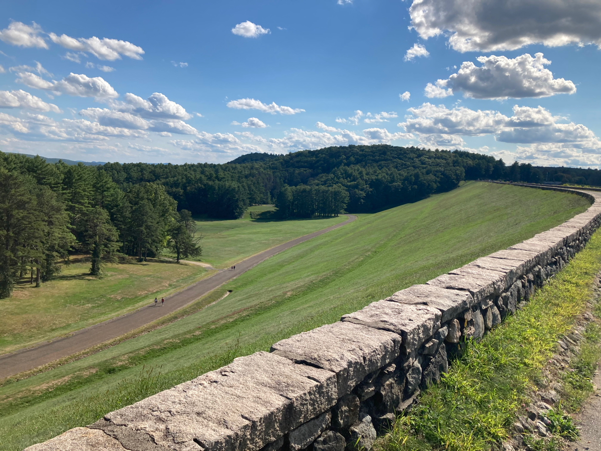
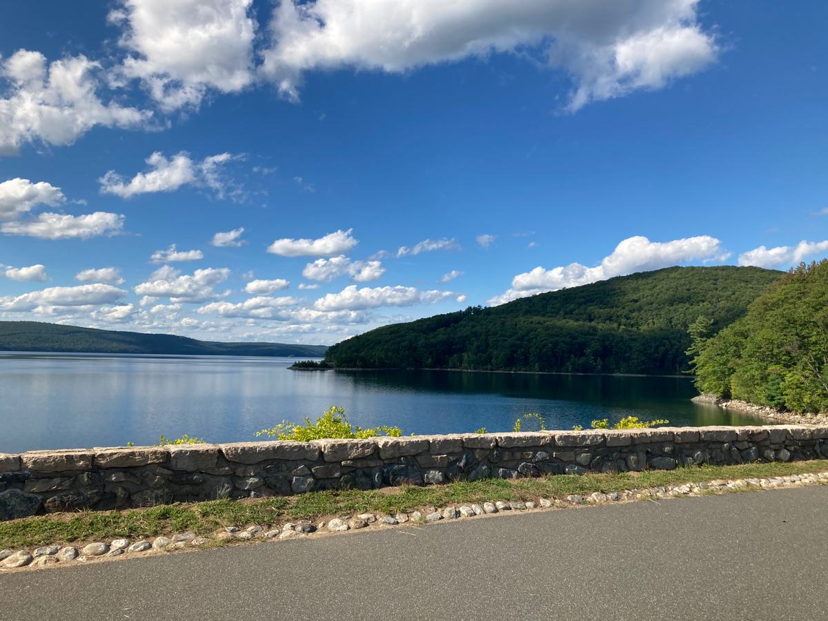
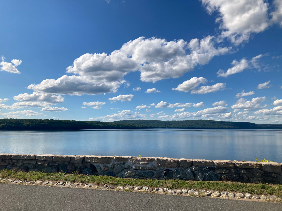
I got a lobster roll and some sweet potato fries. All their eating area is outdoors, there was not too big a crowd there, and people were good about wearing masks in line, so it was a safe place to eat. After lunch I started heading back toward home. I took route 9 all the way west through town, getting off the highway only to ride through a bit of the Quabbin Reservoir area. Specifically, I rode across Winsor Dam. I have photographed the dam and the reservoir many times before, but here are some more pictures, as it’s just a pretty area:
I rode the rest of the way across the dam, then out the west entrance to the Quabbin, getting back onto route 9 in Belchertown. After a little more, I turned onto route 21 and headed up to Belchertown Center, and then continued west on a few different rural roads, passing back through Granby just to the south of the Holyoke Range.
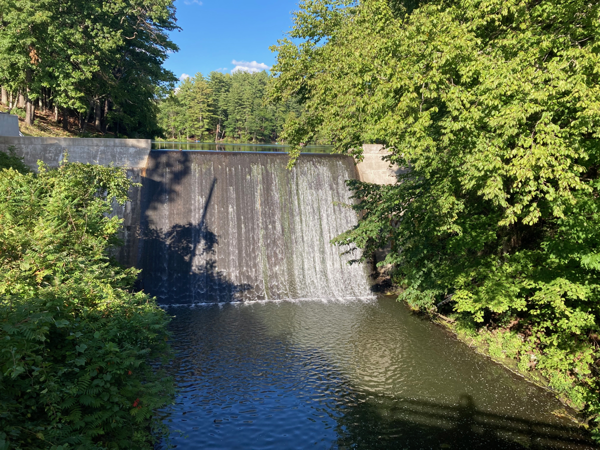
I took a road that I had not traveled before to get to route 116, and on that road (Aldrich), I ran across this little waterfall over a small dam:
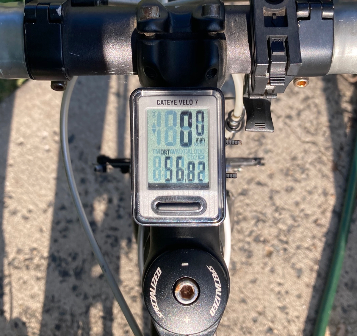
From there, I went south through South Hadley, and crossed the Connecticut River back into Holyoke on route 202. Total time for the ride was just over 6.5 hours, and the distance was 56.8 miles.
That’s it for ride number 1. Tomorrow (Labor Day), I’ll be doing the second big ride of the month. Stay tuned!
1 Comment
Pingback: Sean's Blog » Blog Archive » WB4F Bonus Ride: Around the Quabbin in half a day