
For my training ride a week ago, I chose a route that would let me get in a lot of miles, but with only a moderate amount of hill climbing. This meant spending a bunch of time on numbered highways.
I first headed north out of Holyoke on Route 5, and went up to Northampton, where I was able to get on a rail trail for a mile or so. I also made a quick stop at our vet’s clinic to pick up some medication for one of the cats. I then continued north on Routes 5/10, and followed that road through the towns of Hatfield and Whately, and into Deerfield. It still seems to be high road construction season, because I ran into road work in Northampton and in Deerfield that had me waiting, along with backed up cars, for clearance to pass on a one-lane road.
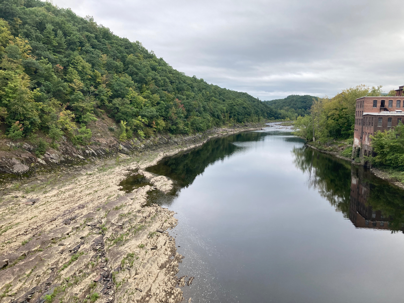
Halfway through Deerfield I diverted off 5/10 for a bit more scenic route, heading northwest, and then west along the Deerfield River. Here’s a spot where one can access the river – this view is looking downriver to the east (click on any of the images to see a larger version):
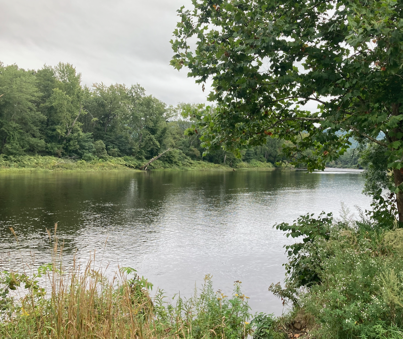
This spot is right by the bridge that carries I-91 over the river (and over the road I was on).
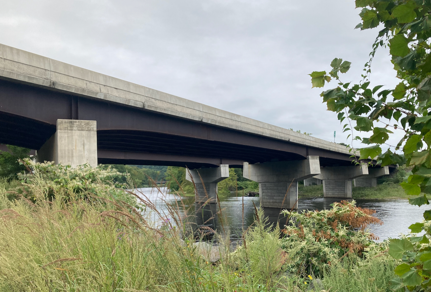
I rode further west from here until I could cross the river myself, on Upper Road. While on the bridge there, I took this picture looking east (you can see the I-91 bridge in the far distance):
Just after crossing the river, I turned east for a bit, crossing under 91 again, and then went north on Lower Road, which runs parallel to Upper Road and 91, but is overall at a lower elevation. Even though it is the lower road, it still is high enough to have some nice views. Here is a view to the east:
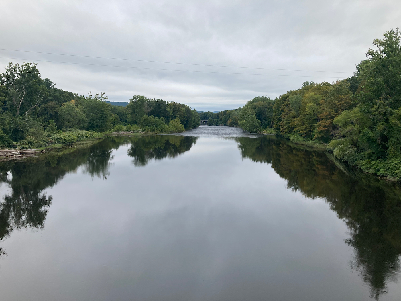
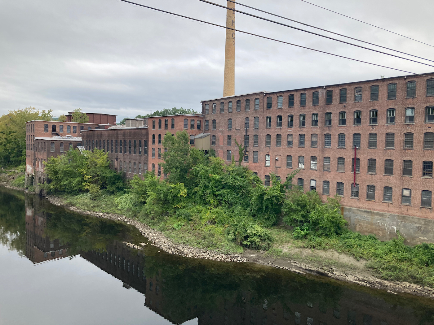
That road took me up into the city of Greenfield, where I made my way past the Franklin County Fairgrounds, then skirted through neighborhoods to the west of downtown, and headed past the edge of Greenfield Community College, still heading north. Not long after passing the college, I turned east and crossed through the northern part of town (on Silver Street), until I came to Route 2A. I went east on that for a very short distance, and then took the turn off that went downhill a bunch, and crossed the Connecticut River into Turners Falls. Here’s what the CT River looks like where I crossed it:
There are a bunch of old mill buildings along the river:
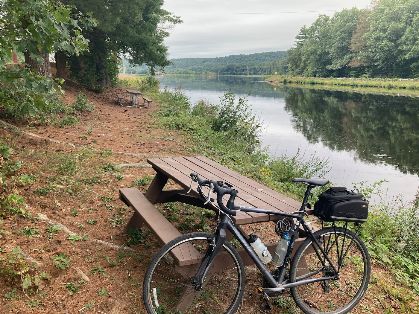
The river’s water level is somewhat low here, because a bunch of water is diverted into a canal. Just after crossing the river I crossed the canal, and then turned west on the bike path, which runs along the canal. I ended up stopping to eat lunch at a spot where there are a bunch of picnic tables just off the path, and on the bank of the canal:
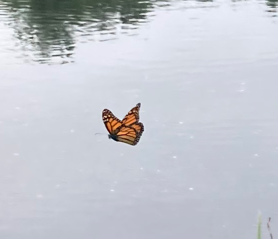
Here is the view up the canal, back the way I had come:
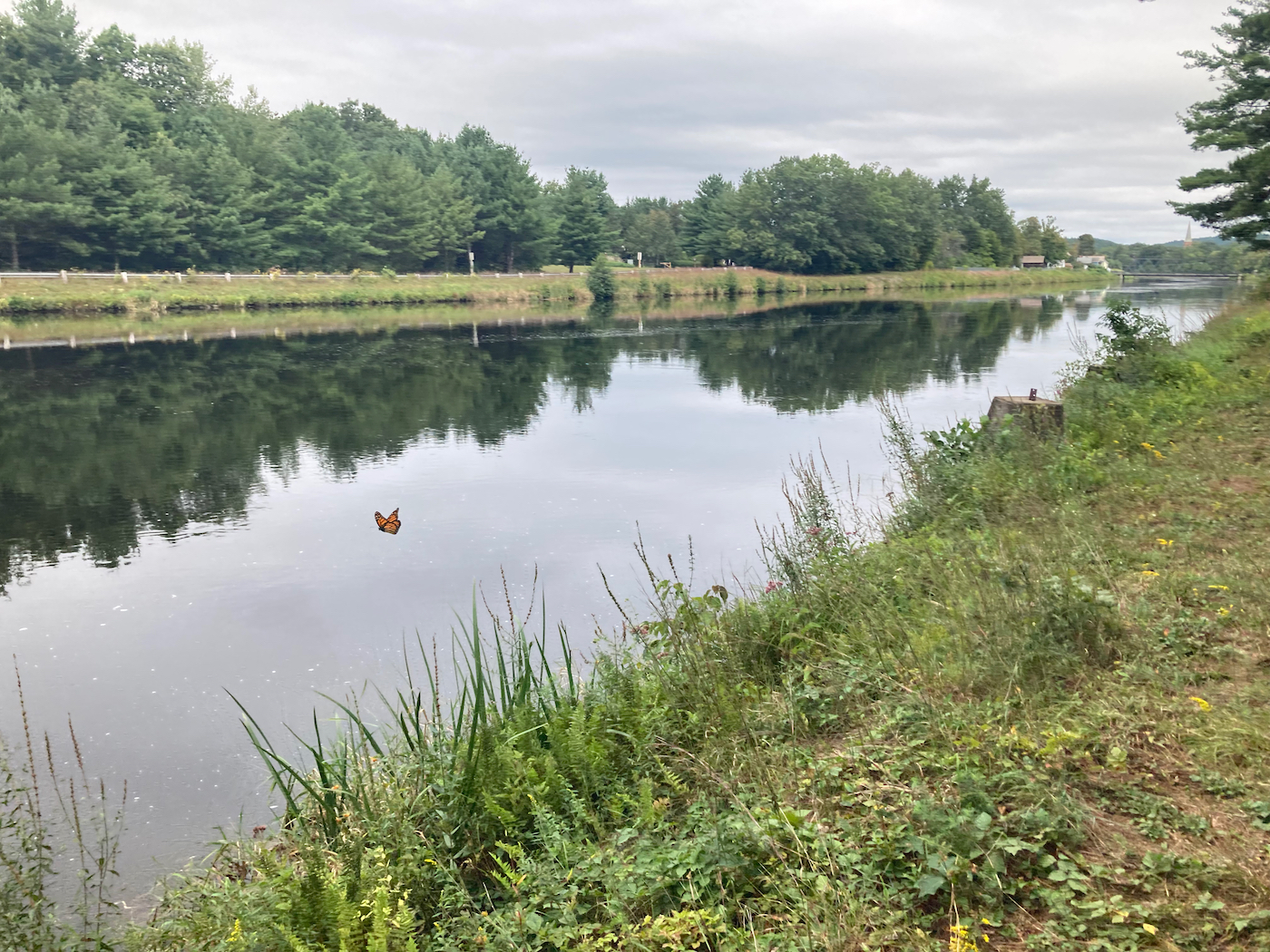
I noted later that I managed to capture a flying monarch butterfly in that photo. Here is a close-cropped version:
After eating I continued west along the bike path until I reached the western edge of town (the town of Montague) and then headed south, eventually passing through the town center and then making my way into Sunderland, where I picked up Route 47. I followed 47 all the way through Sunderland and through much of Hadley, plus a bit of South Hadley (where there is a bunch of up-and-down riding). In South Hadley center, I got onto route 116 where 47 ended, and followed that the rest of the way back to Holyoke.
Total distance on this ride was 72 miles, making it my longest ride of the year up to that point.
Next: my final training ride, which combined distance and hills.
1 Comment
Pingback: Sean's Blog » Blog Archive » Raising Ride Recap