
This past August, I went hiking on Section 8 of the M-M Trail. Unlike the previous hike in section 7 (see previous post), I did this one by myself. I hiked this section from East to West, starting at Mt. Harris Rd. in Southeast Amherst, and finishing at the Notch Visitor Center on Route 116. In order to do the hike just one-way, I first drove to the Visitor Center with my bike in tow. I parked the car there, and rode the bike along surface roads to the other end of the trail section. Then, locking the bike up there, I did the hike, and had the car waiting for me at the end (so I could drive to pick up the bike and then home).
I also took some pictures on the hike.
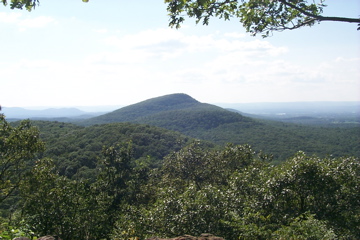
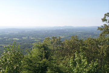
There are 2 peaks that make up this part of the range. The first is Long Mountain, so named because it’s, well, long. The actual summit is a little too tree covered to afford a good view, but there was a nice vista just a little down from the top on the Western slope. Here is the view due West, looking at where I would be going – the peak of Mount Norwattuck:
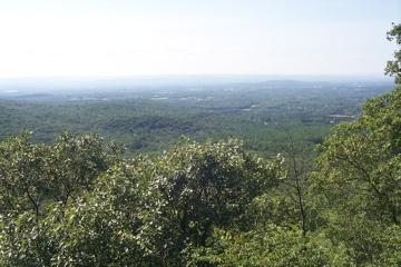
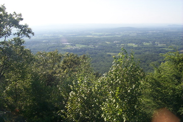
Here are the views to the Northwest and Southwest, respectively:
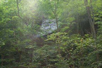
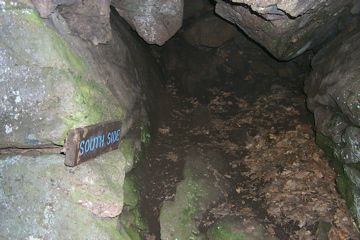
Most of the hike I did not take pictures, as it was a lot of woods that weren’t necessarily distinctive. While ascending the slope of Norwattuck, though, one comes upon the Horse Caves, which were purportedly a shelter and hiding place during the Revolutionary War. Here are some views of the caves as I approached:
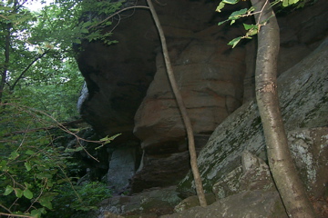
Here I’m in front of the openings, looking back the way I came:
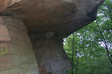
The cave openings are pretty narrow, and I guess there isn’t much space inside. Horses themselves would have just stood under the overhangs, I think.
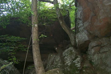
Here we are now going to the…well, you can see:
Here I’m looking up at the continuation of the trail, which requires climbing through a sort of fissure in the rocks there:
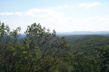
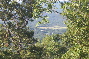
The final pictures are looking Northwest, North, and Northeast from the summit of Mt. Norwattuck:
1 Comment
Pingback: Sean’s Blog » Blog Archive » Fogs and frogs and birds in bogs