
In mid-July, I headed out in the morning for a ride while the weather was still relatively cool. I went looking for a bike path that I had heard someone mention last year, but about which I could find little information online. It was supposed to be in the city of West Springfield, and run behind Home Depot and other stores. I was not sure if it had already been constructed, or might still be approaching construction. Armed with that little bit of knowledge, I set out.
I headed out of Holyoke to the west of I-91, passing through a small industrial park shared by both cities. Once I was down a ways into W. Springfield, I headed east over to Route 5, then south on that to the entrance to the Riverdale Shops. I rode through the various parking lots to Home Depot, and then around to the back of that store.
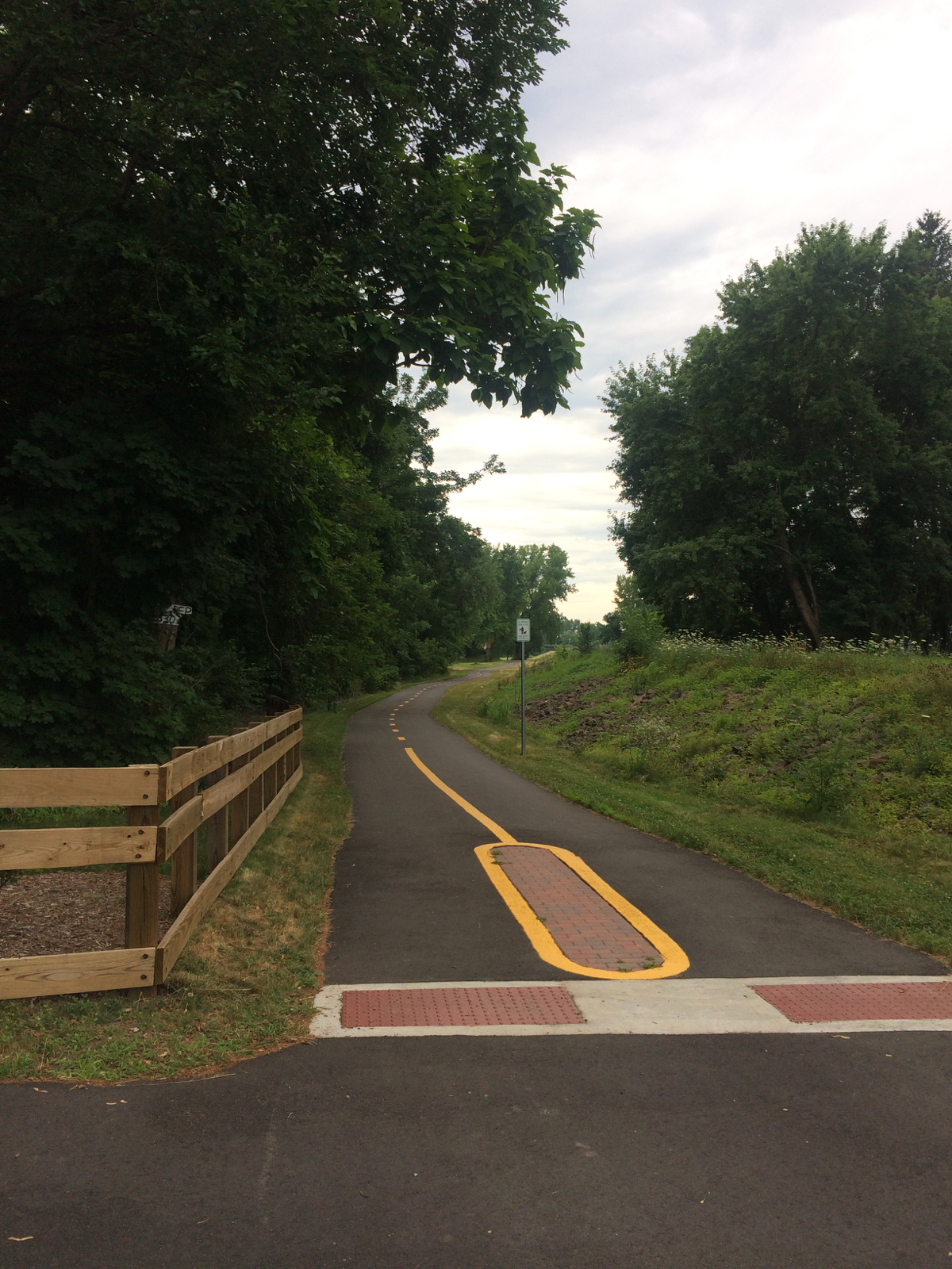
There I found a grassy area leading up onto a levee. I walked my bike up there, wondering if the only path would be the gravel and dirt I could see along the top of it. When I got to the top, though, I looked down the other side to see a lovely paved trail between the levee and the river (click photos for larger view):
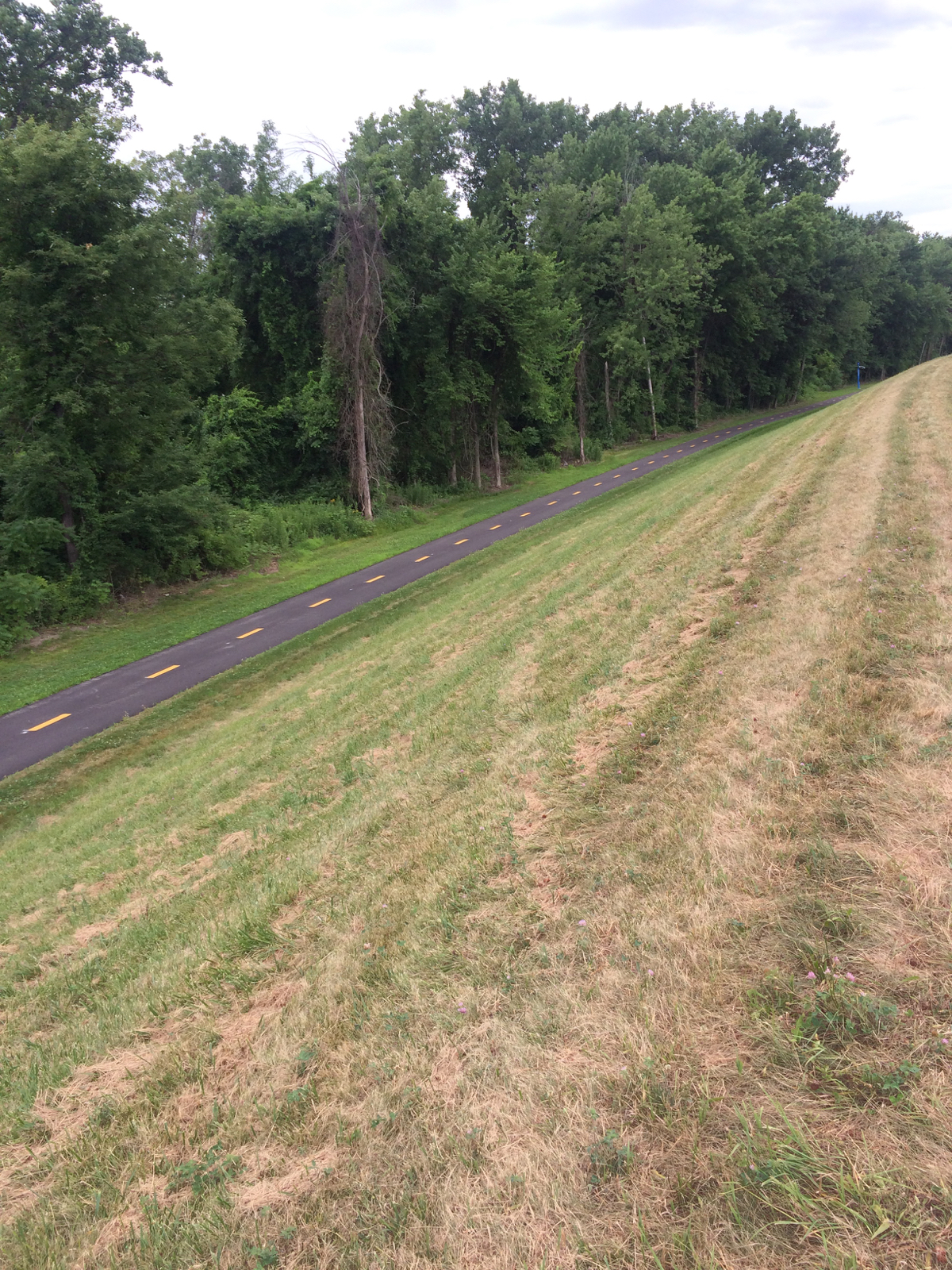
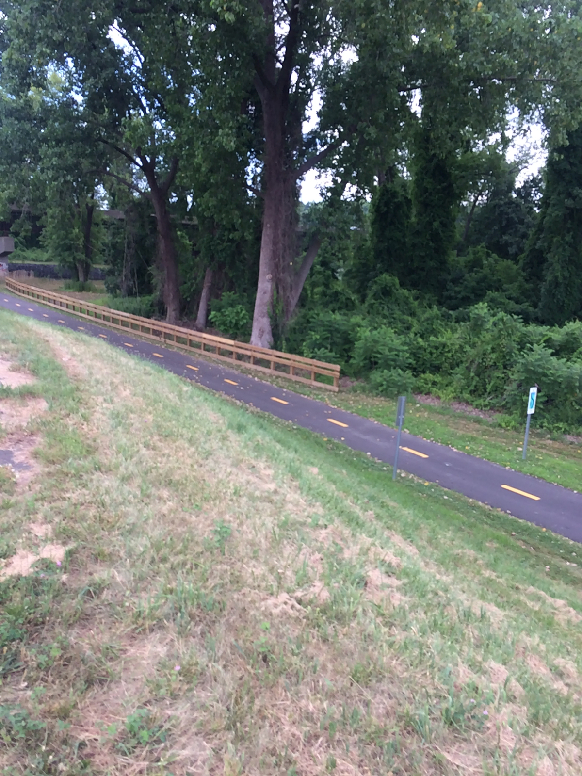
Those pictures are looking to the south, and the north, respectively.
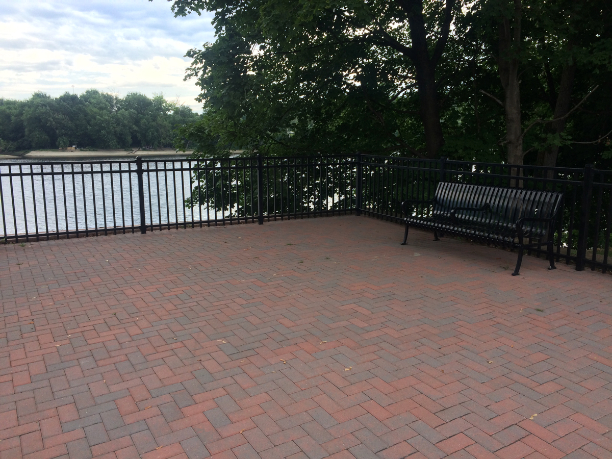
I walked the bike down to the path and rode north, to see how far it went. The path ended half a mile or so further up, at the confluence of a couple of residential streets. There was a little rest area with a couple of benches that looked out on the Connecticut River:
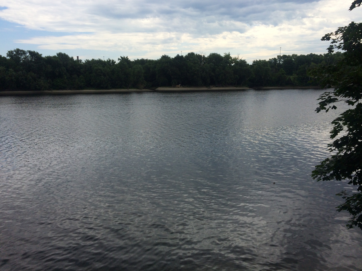
Here is the northern end of the trail, looking southward:
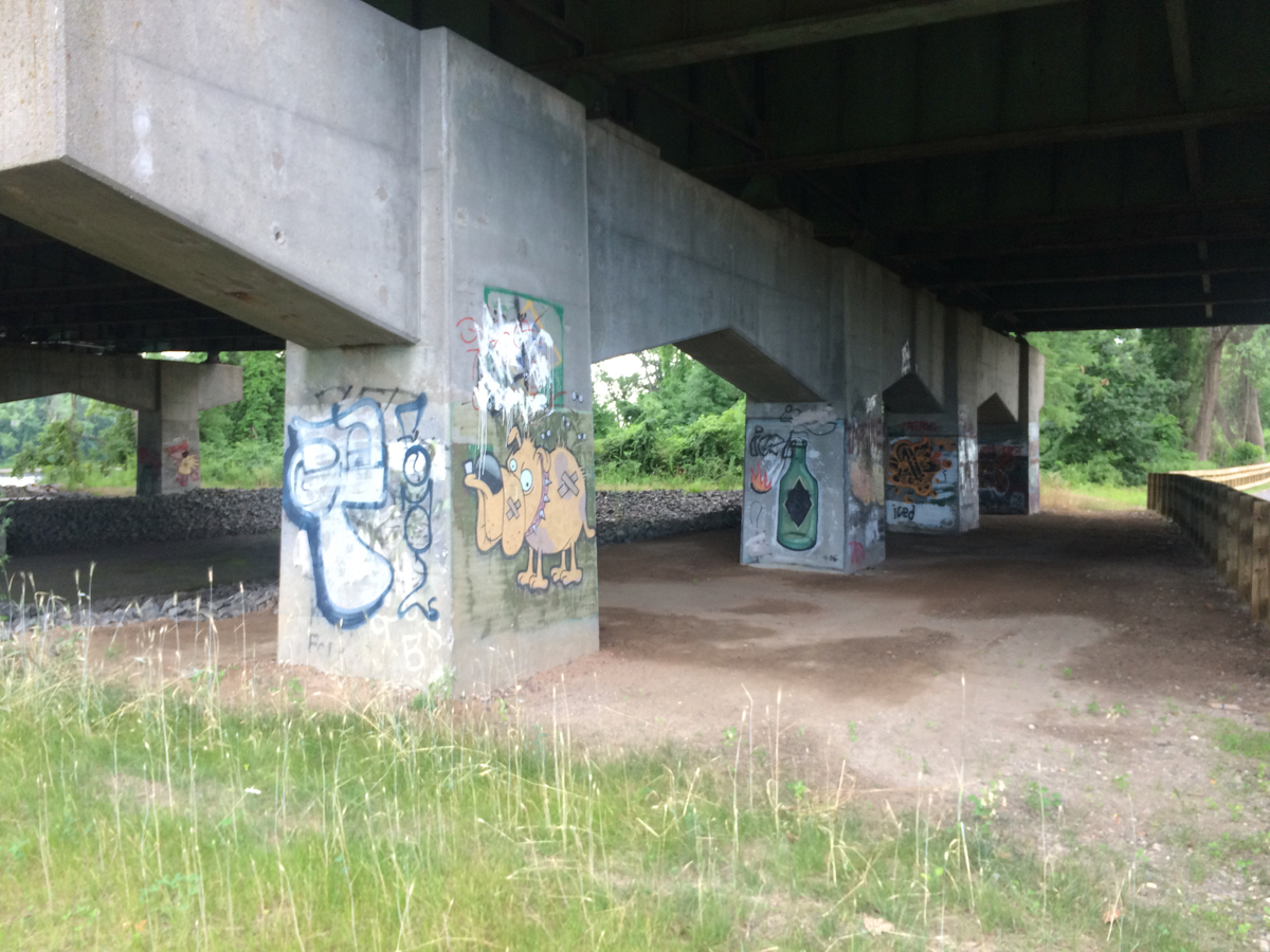
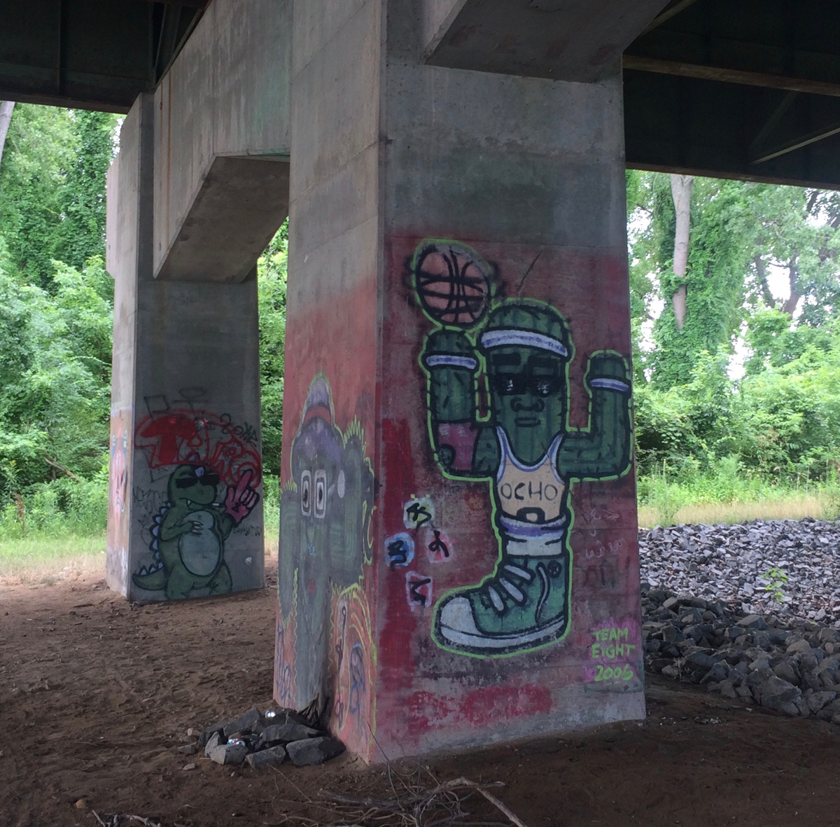
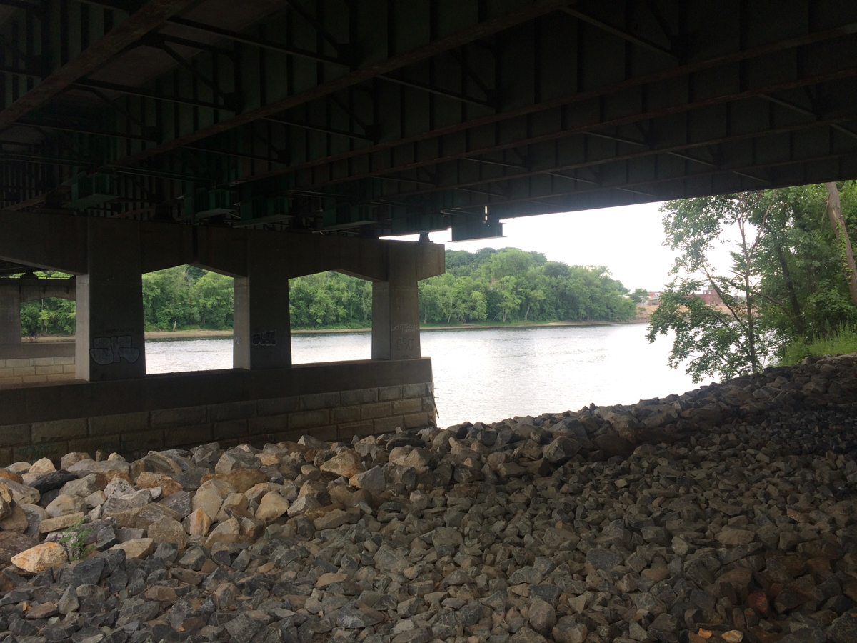
I then rode back south. Before getting to the part I’d started on, I passed under I-91 (as had happened when I rode the path northward), and I saw a whole bunch of graffiti painted on the bridge supports:
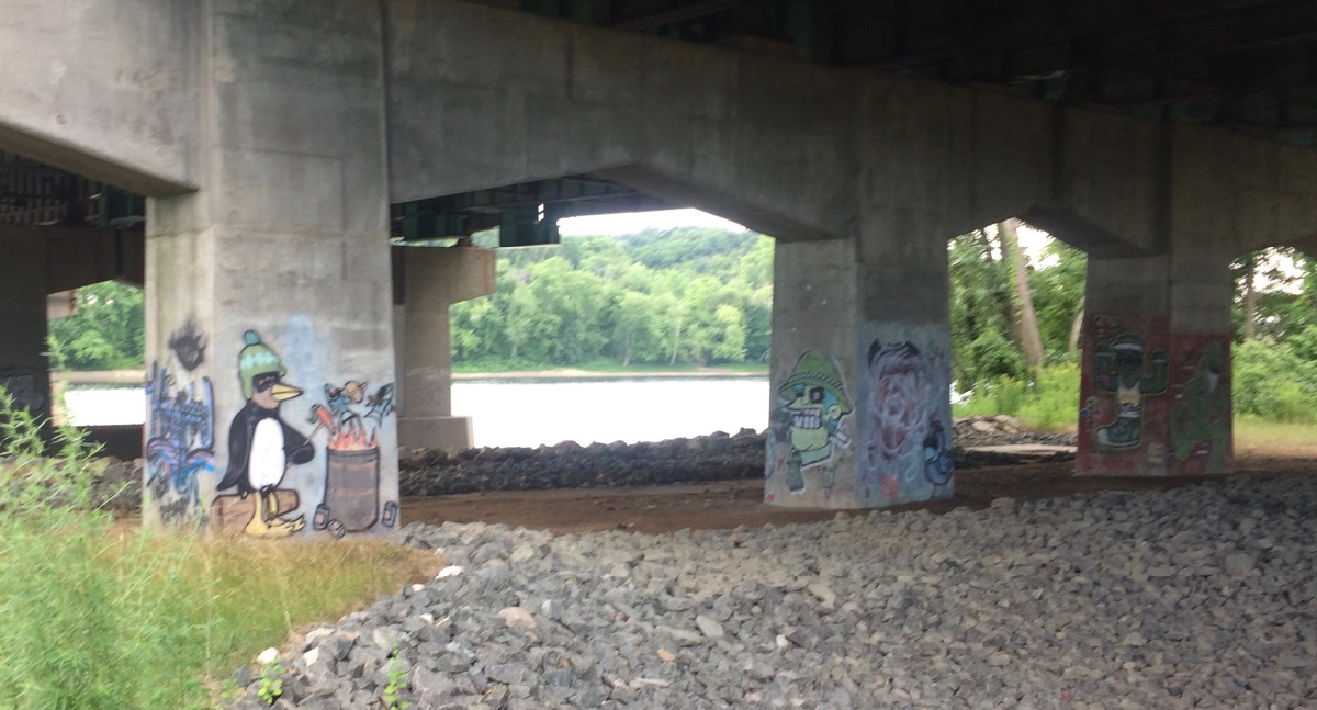
Here’s the view of the river from under the freeway:
From there, I rode south, and it was not too long before I encountered the southern end of the trail, at a little park that also has a canoe launch. The whole path is about 1.5 miles long.
From there, I rode down through downtown West Springfield, and then somewhat further south, before heading across the river into Springfield. Here I got on the Springfield riverwalk, and rode to the south end of its bike path. I then turned around to head back north. At this point the sun had come out (the sky had been overcast up to that point), and the day was starting to get hot. I rode all the way to the north end of the path, near Baystate Medical Center, and then followed Route 116 through Chicopee and eventually back into Holyoke (crossing the river on the good old Willimansett Bridge). I was home just after noon, having ridden about 26 miles.