
Two weeks ago I went for an afternoon ride that followed some more old roads through forests. I actually left the house in the morning, but initially rode into the Mt. Tom State Reservation to meet others for a wildlife presentation there (I’ll write more about that in a separate post). After that, and a picnic lunch, I struck out down the old portion of Reservation Road down into Easthampton. This section is closed off to cars, and is really more of a hiking trail with some chunks of old pavement in it. I rode it once last year, but headed upward at that time. In both directions, some walking of a bike is necessary, as it is too steep to ride.
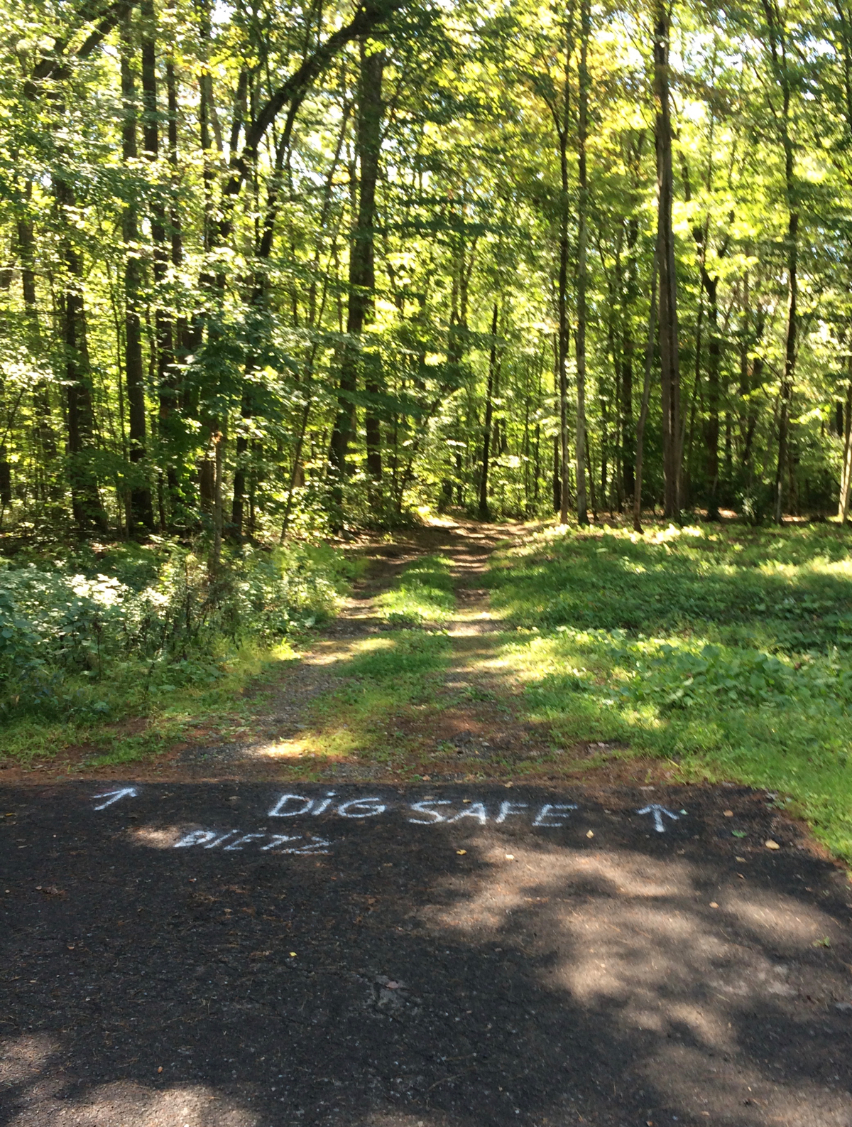
I passed through downtown Easthampton, then rode up Park Hill Road, which I had not been on before. I took that north, then west, until I got to a point where the pavement ends, and there is just dirt trail going into the trees (click on photo to embiggen):
I followed this west, as I’d seen on a map that it would come out on pavement again. It did, after maybe half a mile, but there was a point where a large tree had fallen on the path, and so I had to climb through and around some branches with the bike (it was not quite as bad as that sounds).
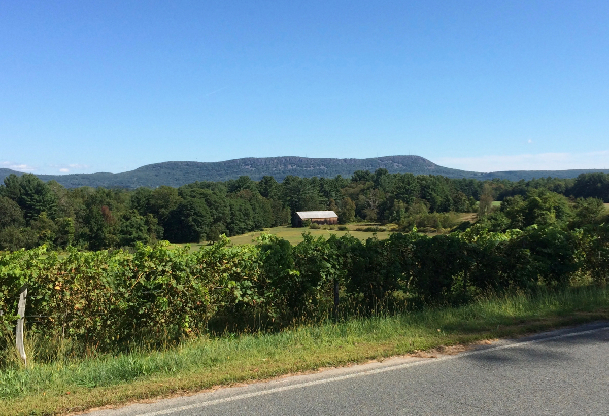
Once on the other side, I continued on the paved road, which soon came to an end at Glendale Rd. I headed south on that, going down hill, then up again, and passed by a winery there (called Glendale Ridge). Here is the view from the ridge, over some grape vines:
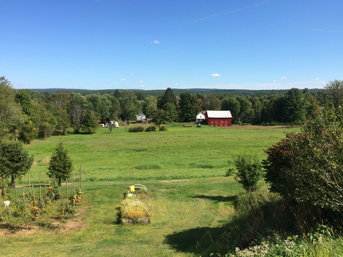
I kept going south on this road and another until I hit Route 10 in Southampton. I turned there to head further south, and for a bit I followed a less busy parallel street: High Street. It runs a bit higher than 10, and at one point I was able to look downhill (east/southeast) toward 10:
High St. stopped at Fomer Rd. and I then got back on Route 10 for a bit, before turning onto Brickyard Road. I had been on the other portion of this road back in May (the portion to the east of route 10), but this time I headed southwest, which was all new to me.
It’s a pleasant ride with a bit of uphill, and a bit of down, and eventually the road passes into Westfield, where it changes name to Root Road. I continued following it south, and then it bent southeast, heading toward downtown Westfield. Before I got out of the rural part of the city, I did stop for a moment by a marshy area:
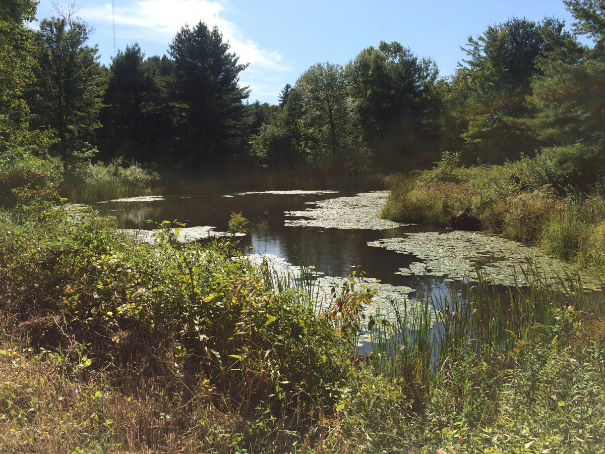
I could hear, but not see, frogs in the area.
I did not ride all the way downtown. This road eventually ran into Routes 10/202 just south of the Mass Pike, and I jogged onto that road, then onto Holyoke St., which runs east, parallel to the pike. I followed that road all the way to its other end, still in Westfield, at East Mountain Road. Here I went a very short distance north, passing under the pike, and then headed further east where I passed a gate and got onto the old road that I had ridden in May in the other direction.
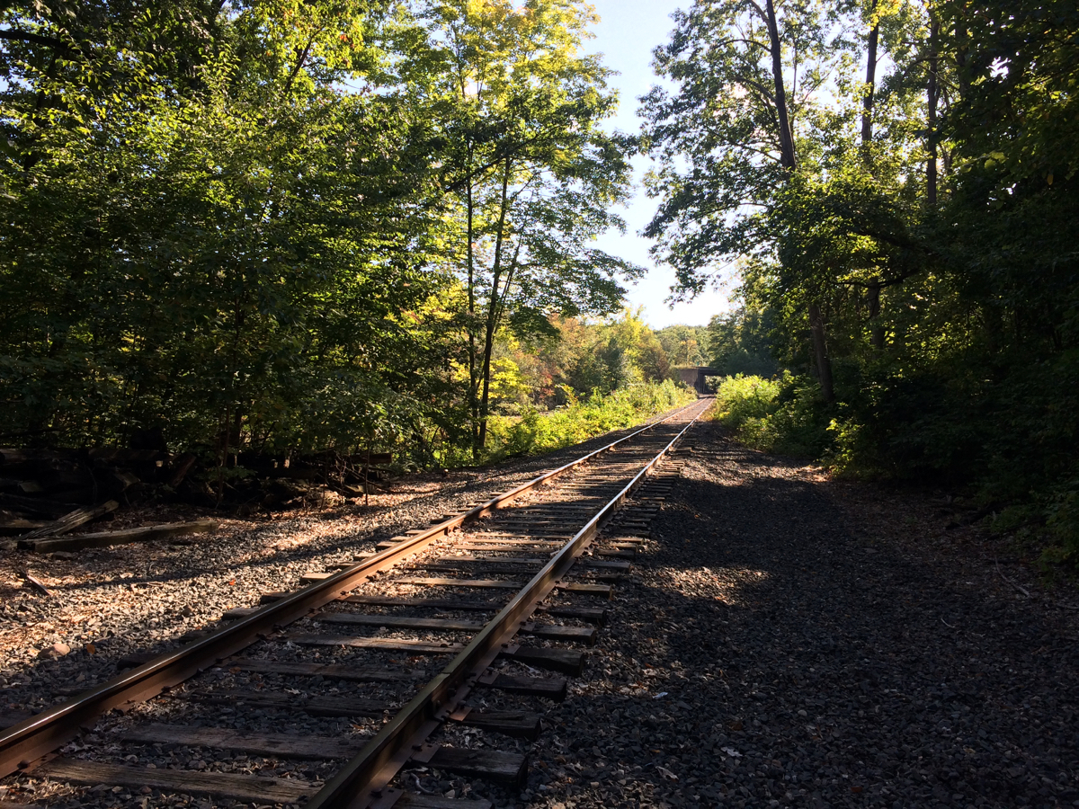
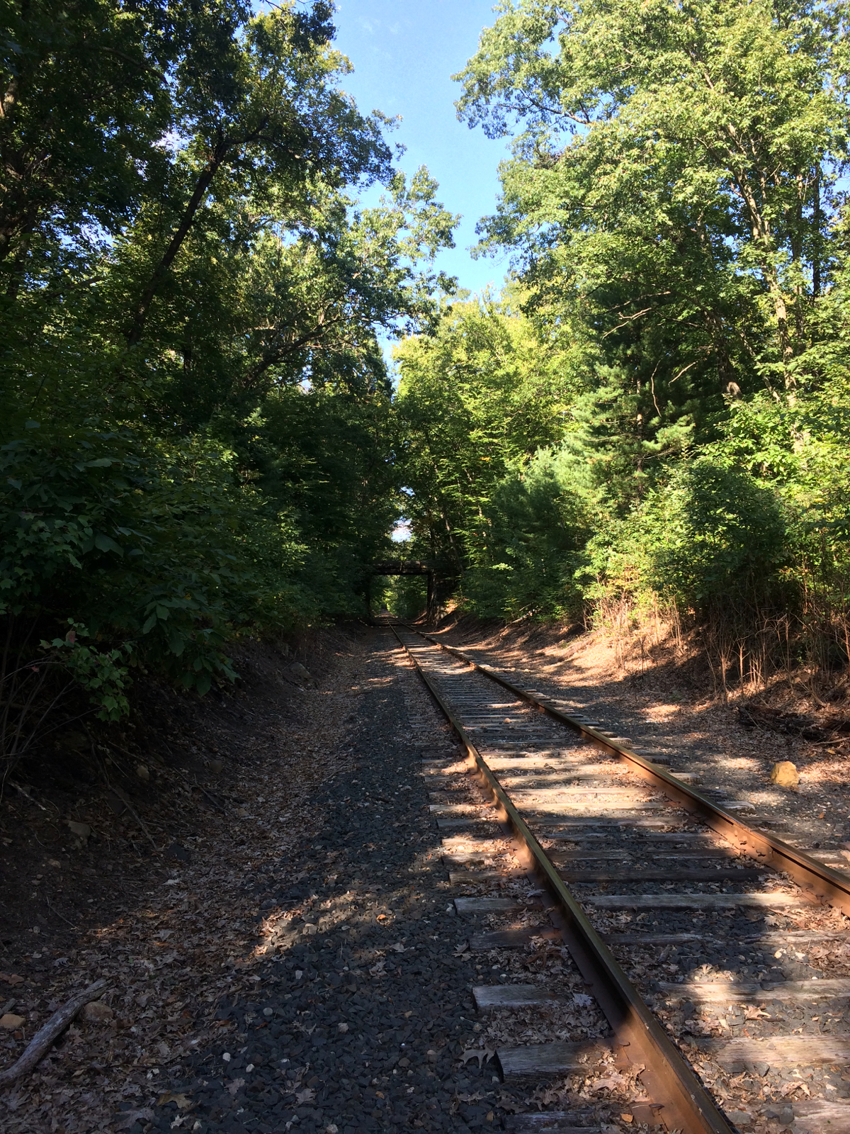
This time, I was able to find a better path, so that I only had to cross the railroad tracks – I did not have to walk along them. Here is the view along the tracks, looking southwest, then northeast:
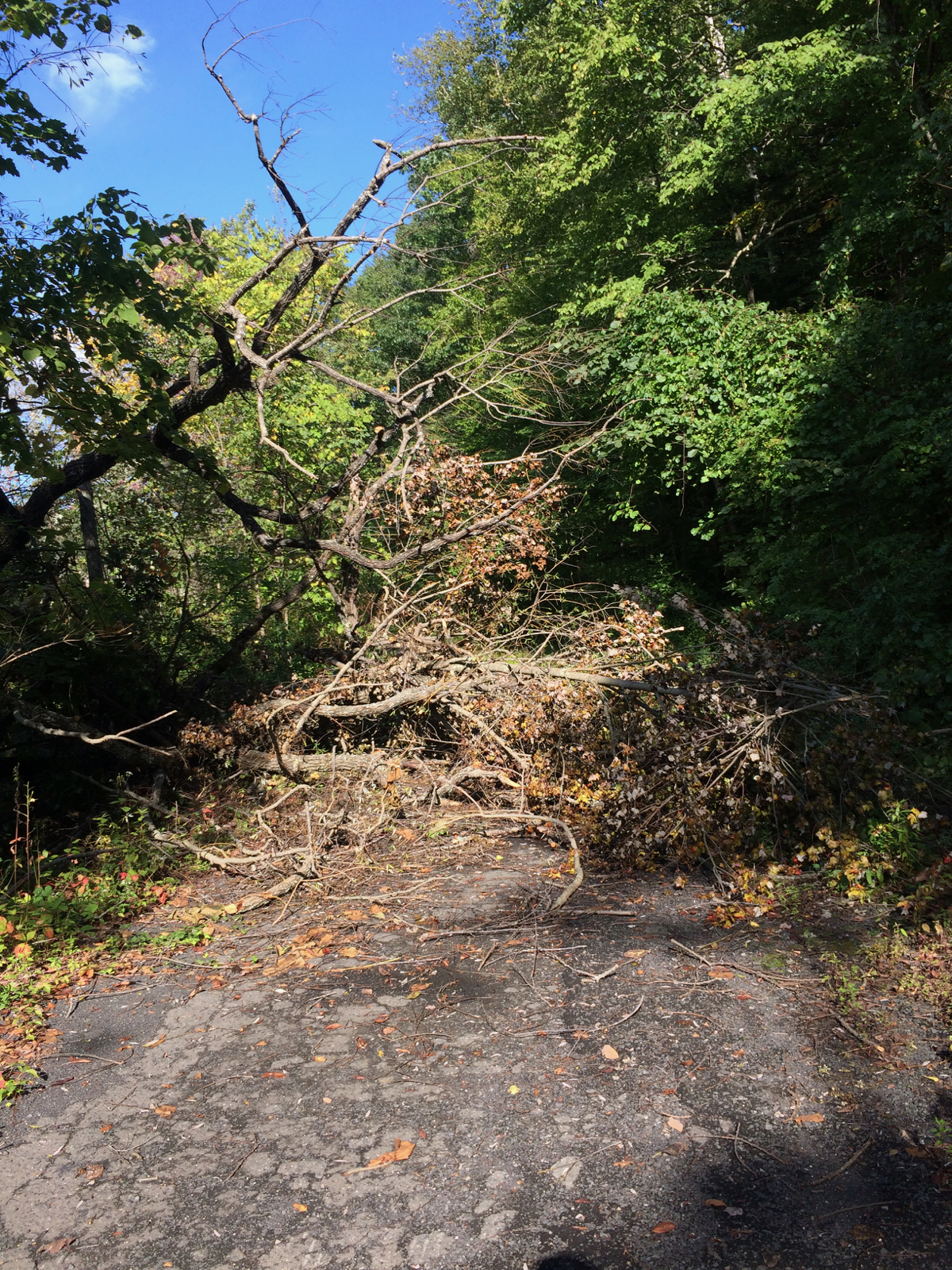
I headed across and back onto the “road”, and continued east, but soon came to a blockage. There was a tree down, or perhaps multiple small trees, so I had to make my way around, walking the bike through the underbrush:
I continued along until I passed the gate that keeps cars out, onto the regular road (Prospect St. in West Springfield). At this point, I turned north, passing around another gate and heading up a completely unfamiliar path/dirt road. The map had shown me that this route should connect to the Ashley reservoir in Holyoke.
After I had gone a ways north, there were a few large, deep puddles in the middle of the road. I thought they looked semi-permanent, and in fact they were home to some number of frogs:
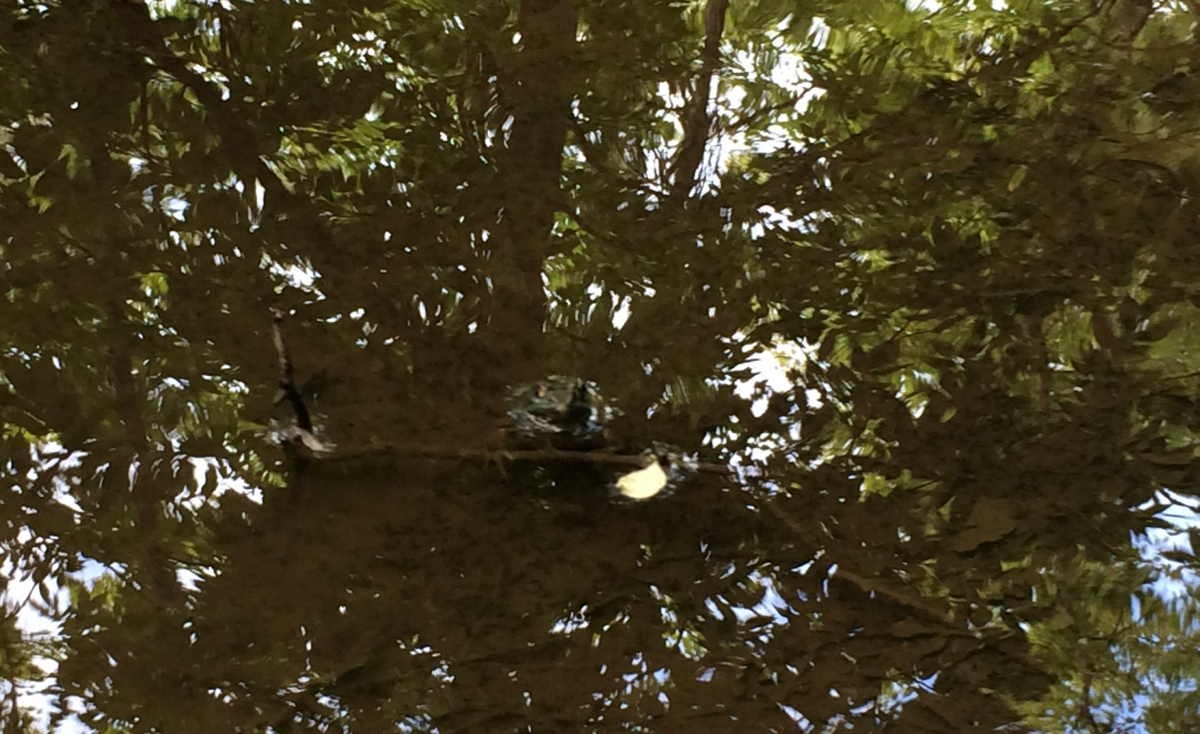
Those were the best photos I was able to take – other frogs moved away when I tried to get pictures of them.
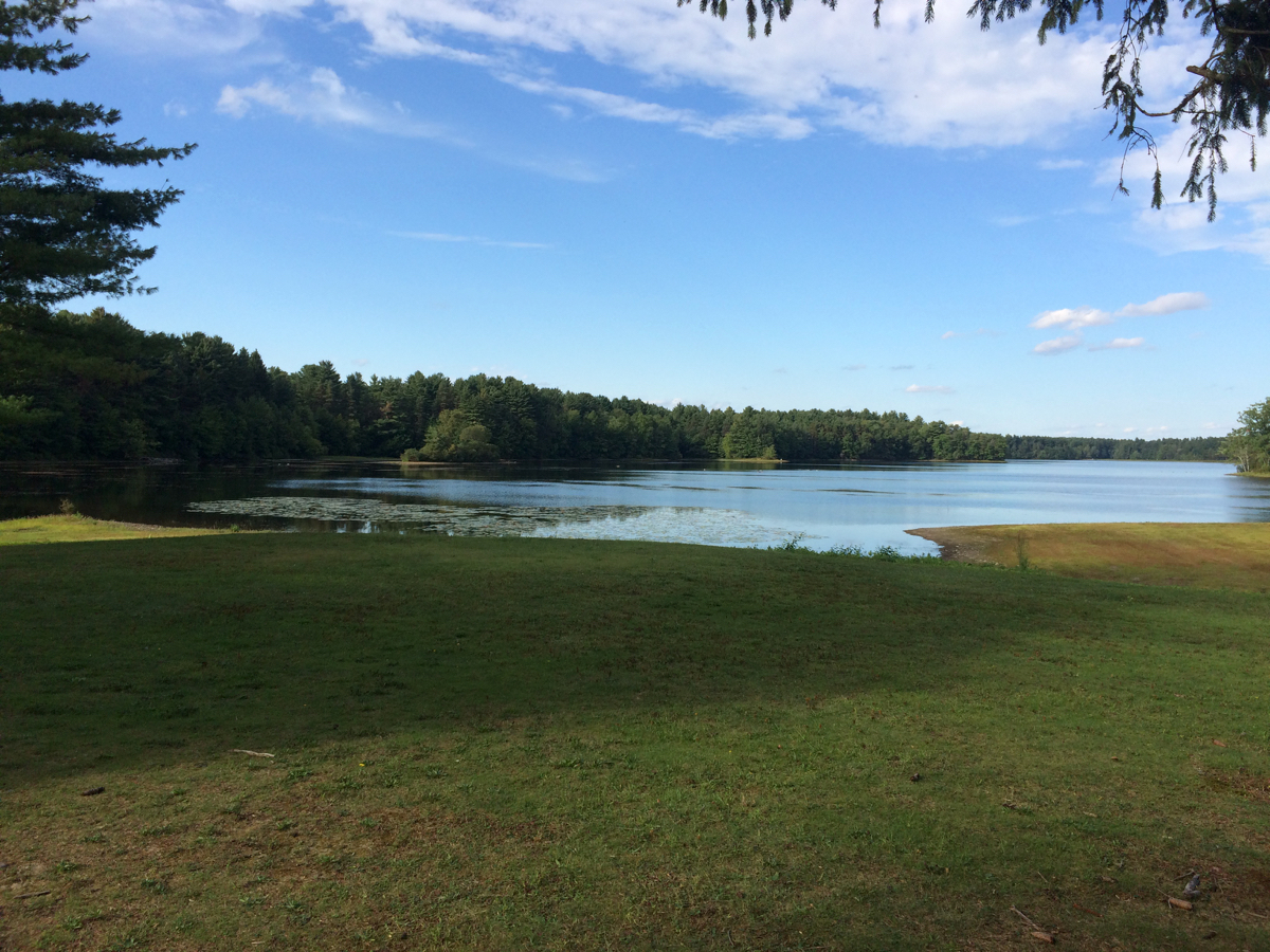
Soon after these puddles, I came to the railroad tracks (same ones I had crossed earlier). I walked along them for roughly 50 feet, and came to a break in the bushes on the other side, where I did indeed descend into the Ashley reservoir land. Here is the reservoir, seen from the south end:
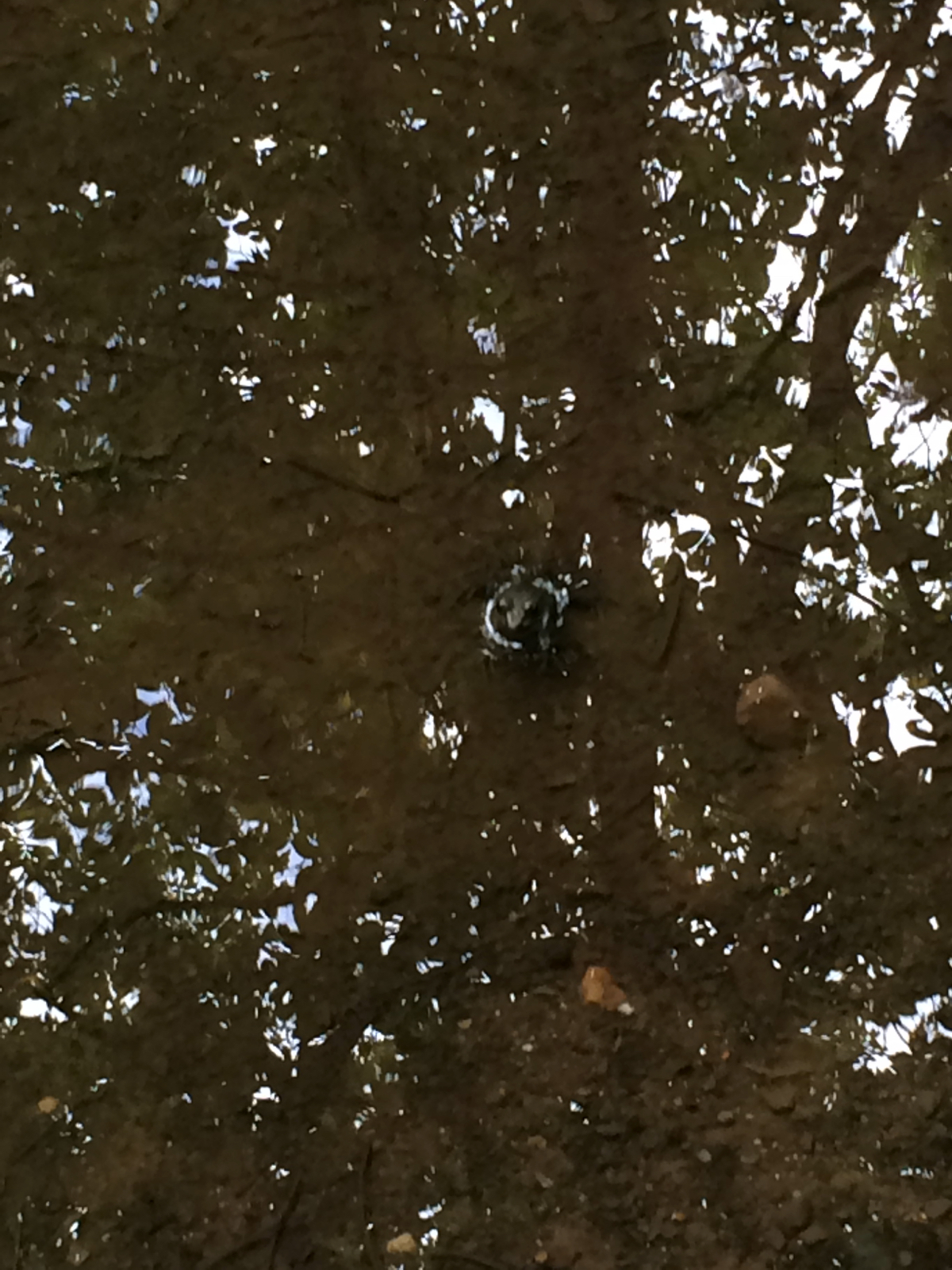
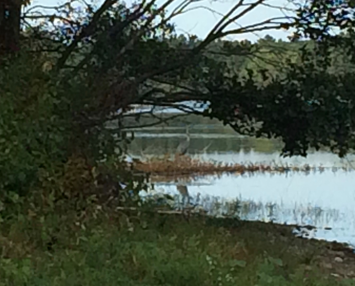
I rode around to the west side, and just before passing out of sight of the water, I spotted a great blue heron, and took some pictures. Not being able to get very close to it, they aren’t very clear. This is probably the best one:
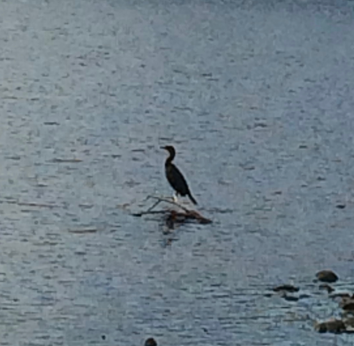
I rode on to the north, eventually turning east and coming near the water again, and then headed south, where I saw another heron. This one flew away before I could even try to take a picture, but I also saw a cormorant a ways out in the water:
From there I headed home on familiar Holyoke streets. The distance for this ride was about 40 miles.
Next ride: the final training ride – BikeFest