
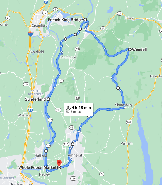
I did my third ride for Will Bike 4 Food on Friday the 11th, and this was another one where I drove somewhere with my bike and then did the ride from there. I drove up to Hadley, and parked out behind the Mountain Farms plaza, where there is an access point for the Mass Central Rail Trail (Norwattuck section). Here’s the area where one gets onto the trail (click on any photo to see a larger version):
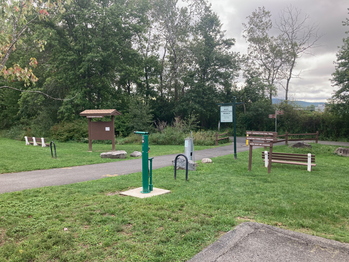
As you approach the trail, this set of signs directs you:
I took a left turn onto the trail, heading east, and I very soon passed through “Rangeview”, which is simply an area adjacent to South Maple St, where one can see the Holyoke Range to the south. It was overcast and somewhat chilly, but I was not too bothered, despite being in shorts and short sleeves – I knew I would get warmer from the cycling.
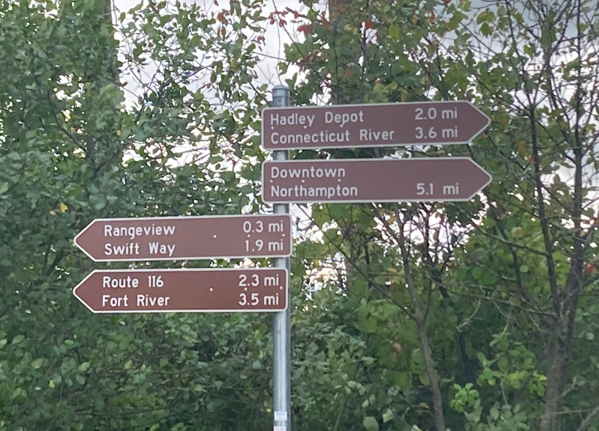
I followed the trail until I was just a bit into the town of Amherst, and then headed north on the trail spur known as Swift Way. This took me to the UMass campus, and I made my way through there, stopping briefly to look at the duck pond:
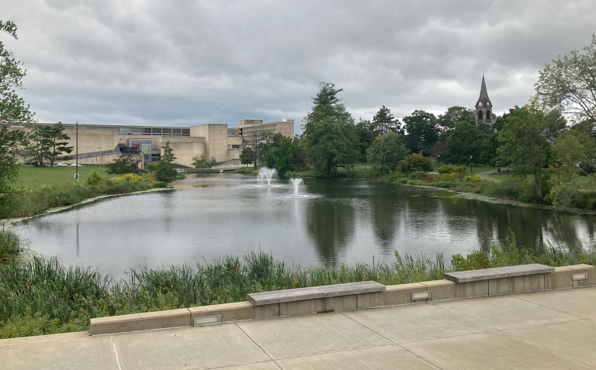
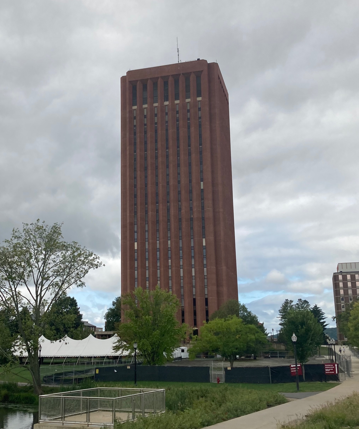
Just to the west of that is the W. E. B. DuBois Library:
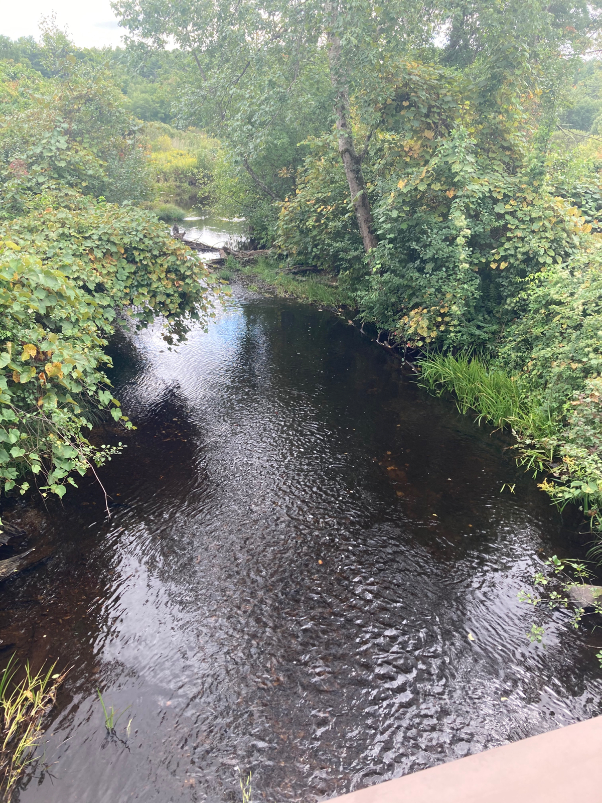
I headed north and east from campus, through the north part of Amherst, which is fairly wooded. Here’s a nice little waterway I passed, which I believe is called Dolittle Brook:
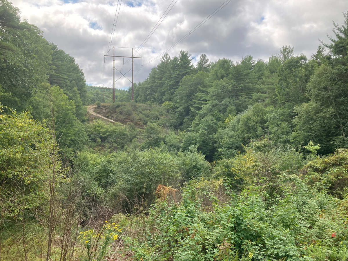
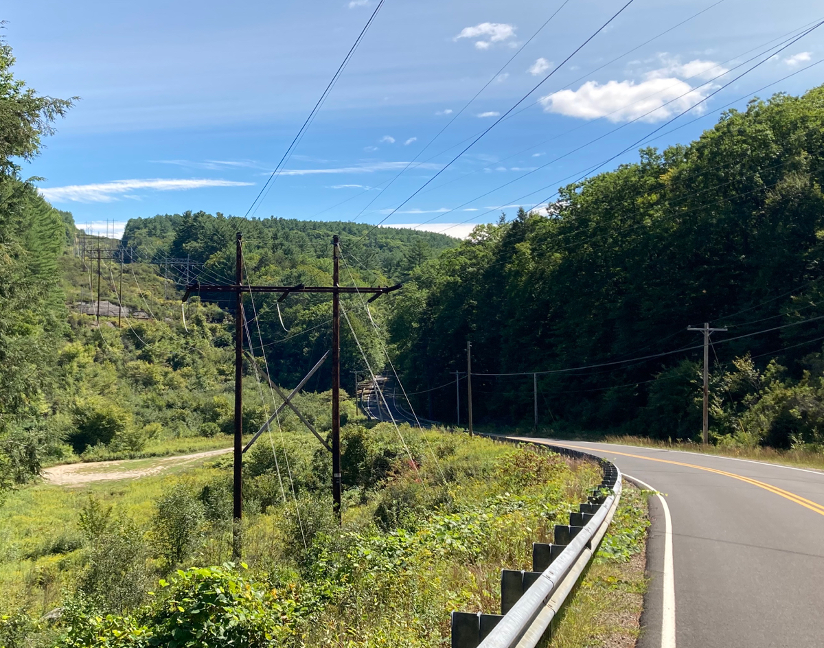
Just after crossing the brook, I passed into the town of Leverett. The road did some climbing in North Amherst, but it began to climb more in earnest in Leverett. The road was lined with trees for the most part, but here’s a spot where there was a break in the trees for electric lines:
I also noted at one point that somebody who lives (or lived) in Leverett is a fan of The Prisoner:
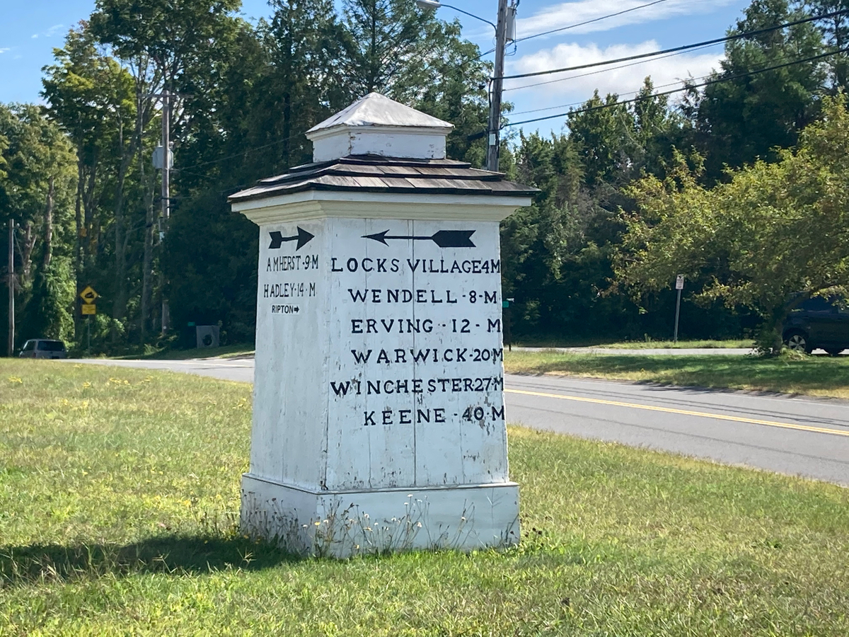
The road climbed almost continuously as I neared the next town line (Shutesbury), and kept climbing into the town. There were a couple of brief points where it was more level, but one is essentially climbing until reaching the town center. In Shutesbury center is this wayfinding sign:
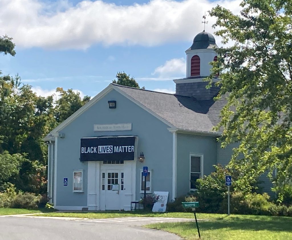
And here is the town hall:
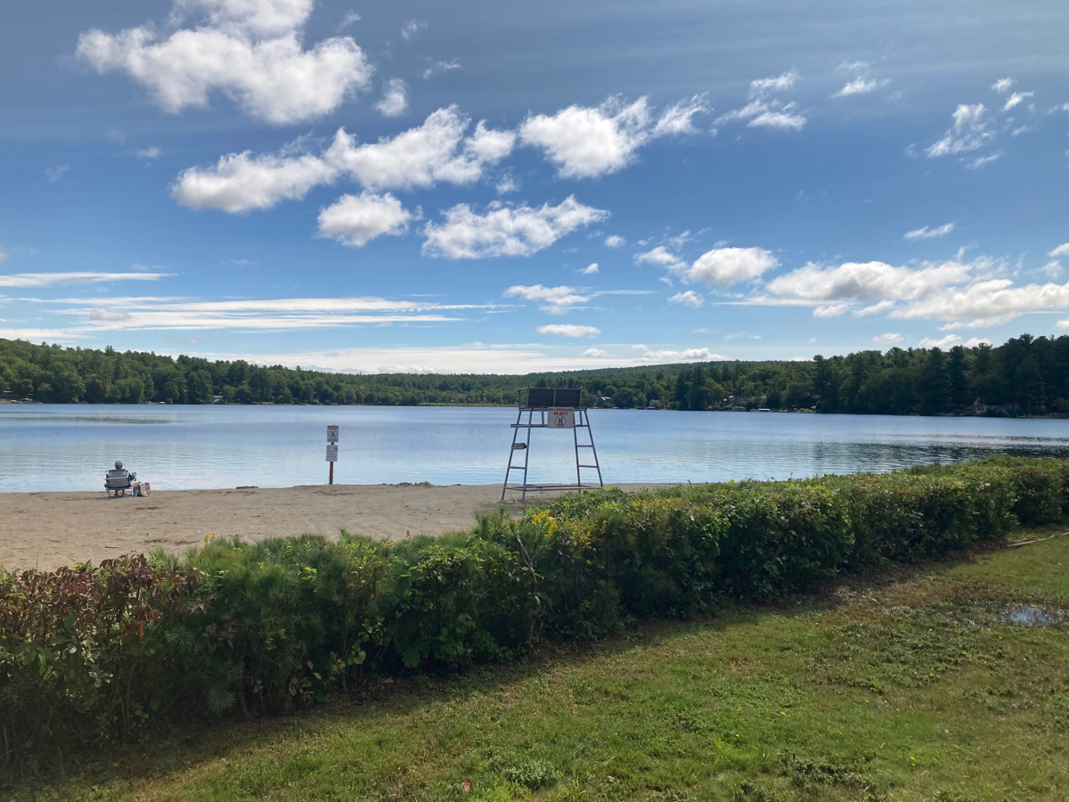
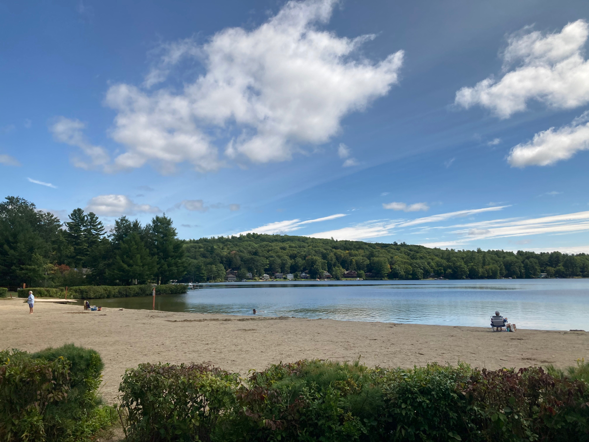
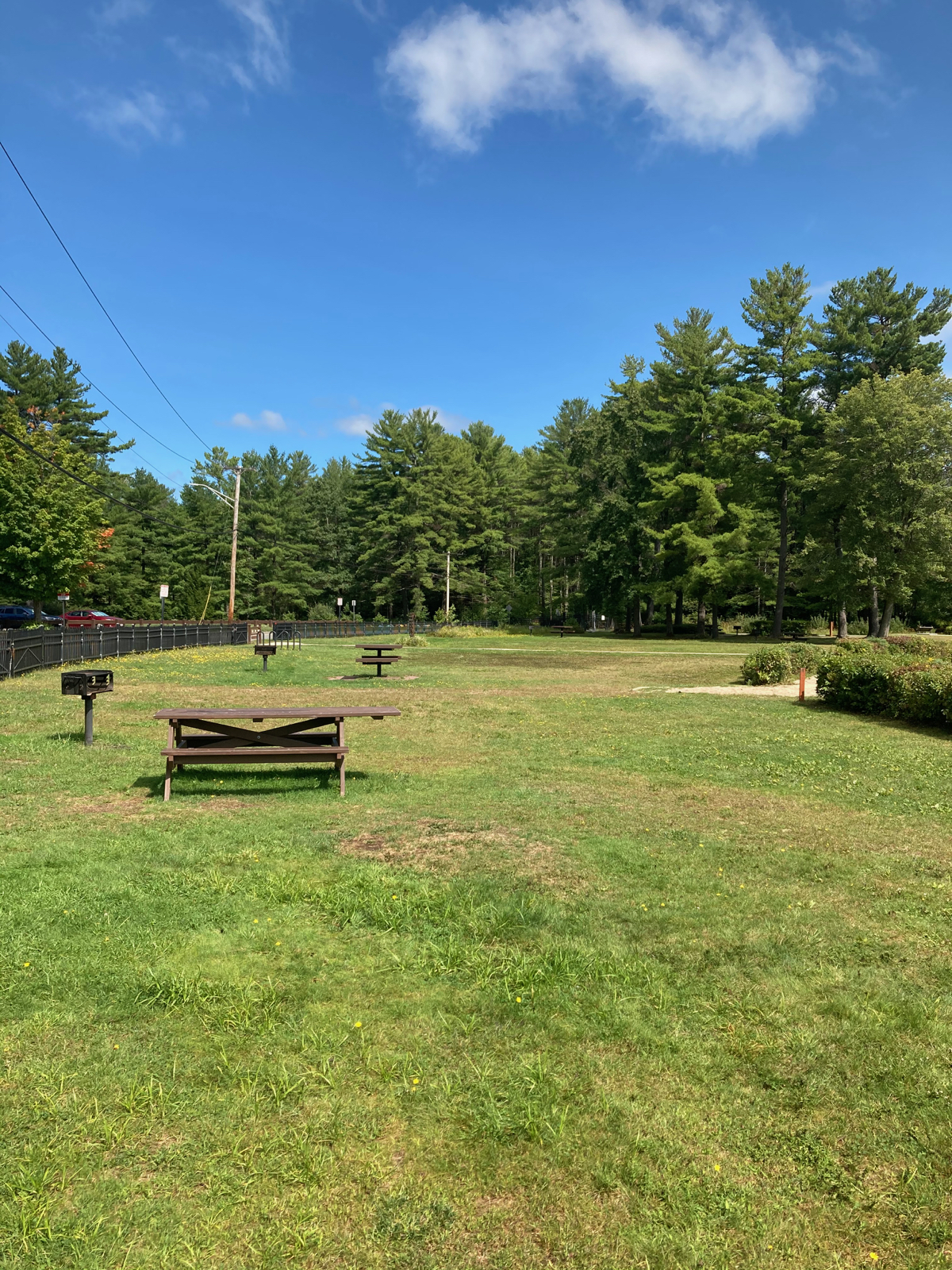
From there I headed north (toward Wendell). I got a bunch of nice downhill riding on this road, until I got to Lake Wyola state park. There is a beach there, though it was a slightly chilly day, so only a few people were there. Here are the lake and the picnic area in the park:
I continued north from the lake, with the road occasionally moving east, up into the town of Wendell. There was some more hill climbing, but not as much as what I did in Leverett and Shutesbury. On the way up to Wendell, I noticed this sign on a phone pole:
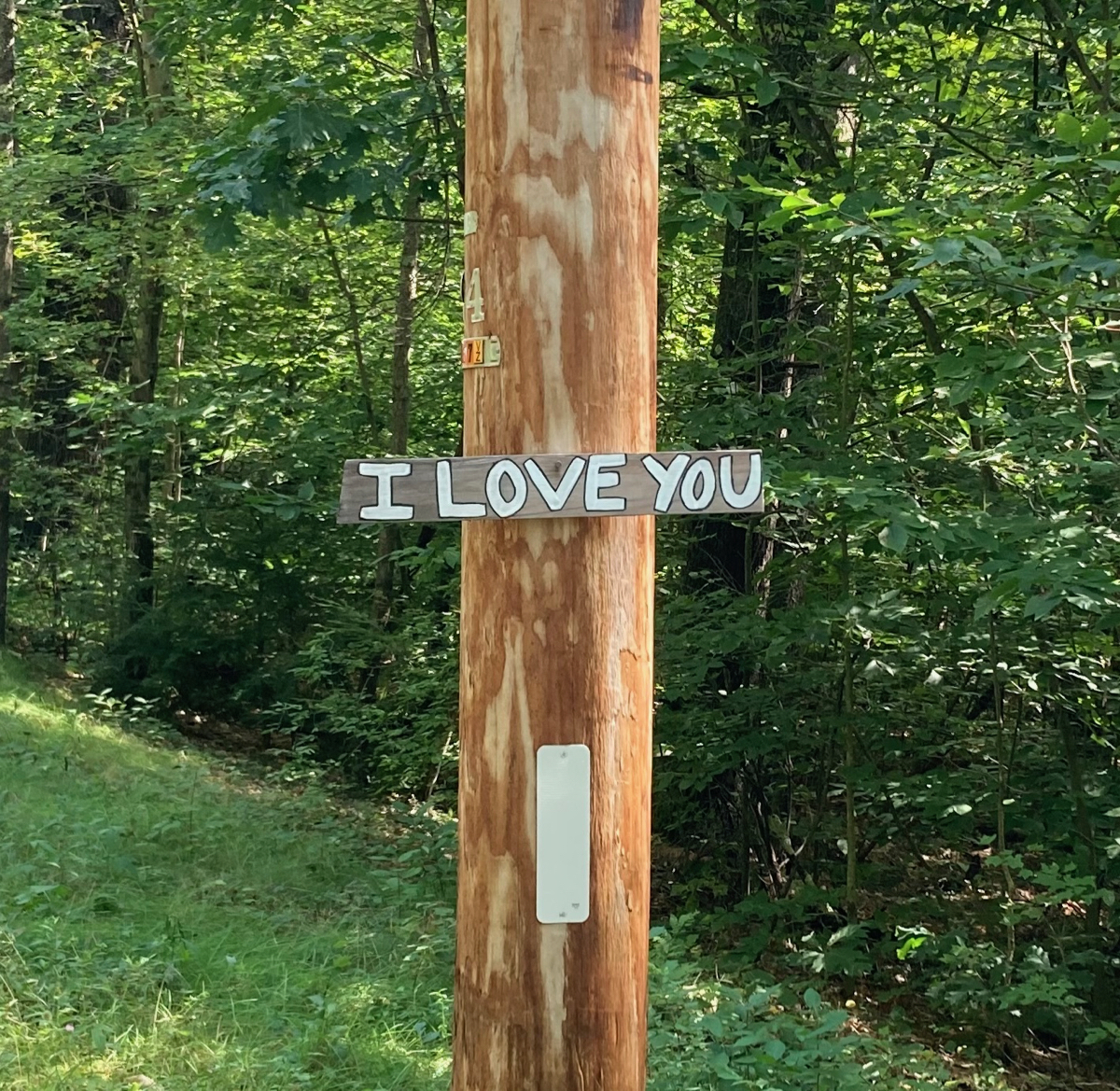
It was not in front of a house, so I have no idea who put it there, or how long it has been up. Once I got up the hill in Wendell, I passed a house that had this figure displayed by the road:
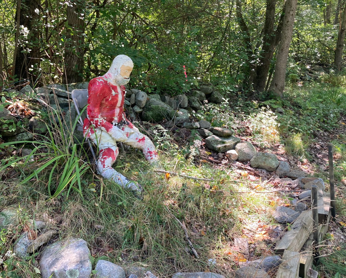
I expect the mask was put on in reflection of the COVID pandemic, but was the display already there beforehand, without the mask? And if so, what could it mean?
In any case, I shortly reached the town center. Wendell has a reasonably long common – here is what it looks like from the north end, looking south:
From here, I went slightly further north, and then turned west to head toward Millers Falls. Right after I turned, I stopped to look at this marsh:
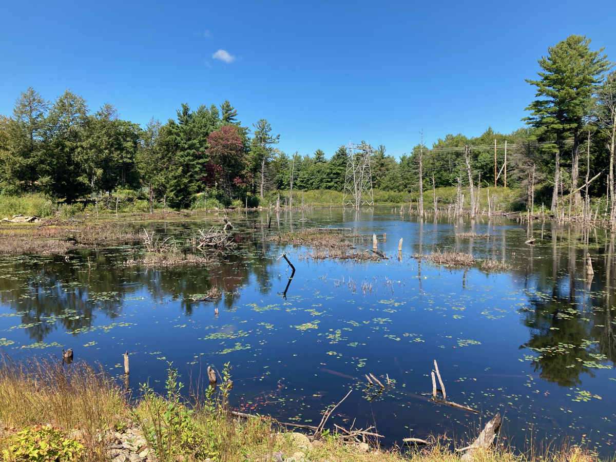
While I was stopped there, someone passing in a pickup truck pulled up next to me, and said “Beautiful, isn’t it?” I agreed, and the driver mentioned that there are otters in the marsh. It turns out the driver lives across the road from the marsh, and sometimes sees otters in the driveway. I unfortunately did not see any otters that day.
On this road (Farley Road), I got to go downhill a lot. It was almost all downhill heading into Millers Falls (which is a village center of the town of Montague), though there were a couple of small uphill portions. Here’s the view looking back from one of those uphill bits:
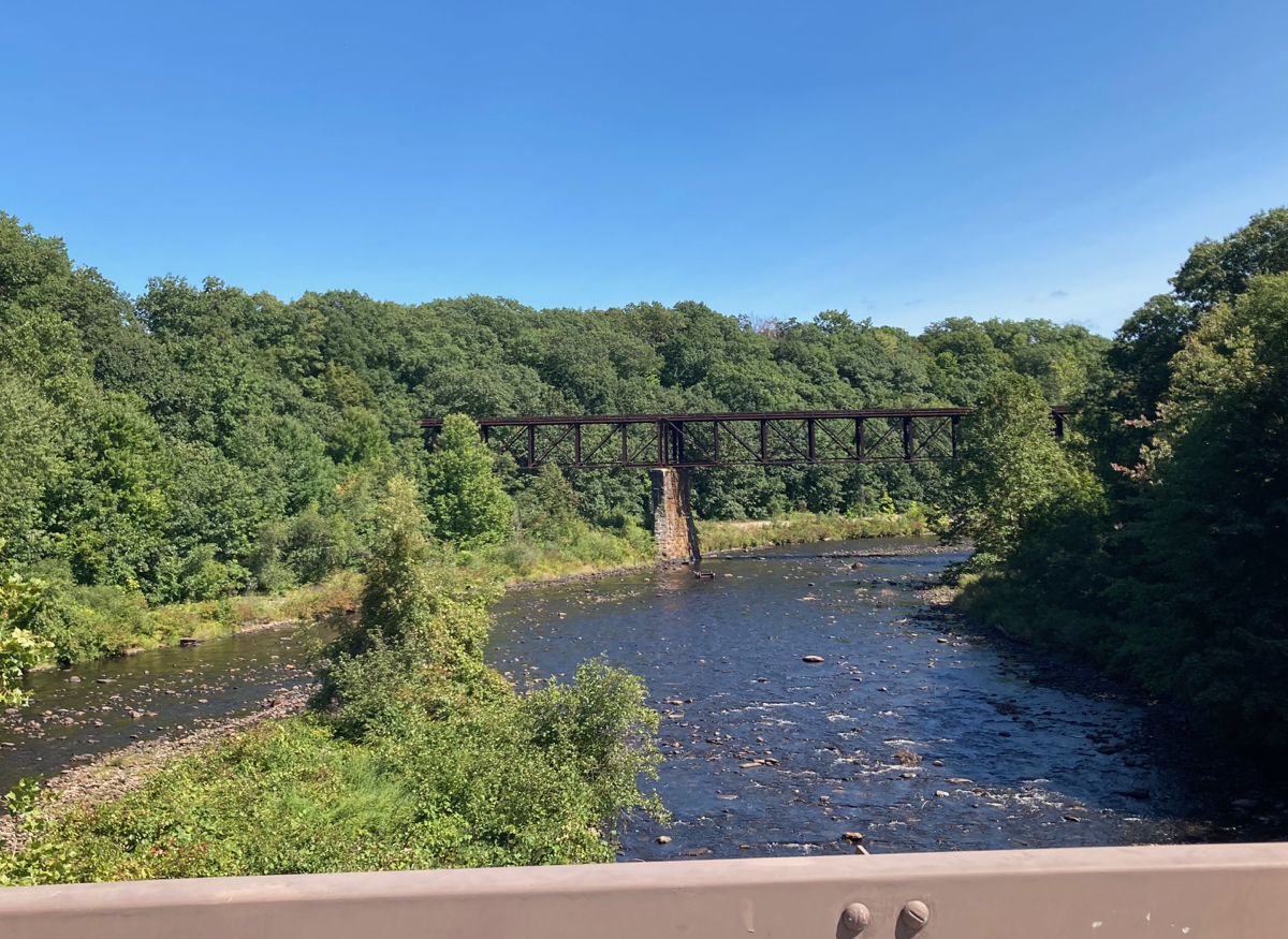
Once I got into Millers Falls, I went north and crossed the Millers River. Here’s a view upriver from the bridge:
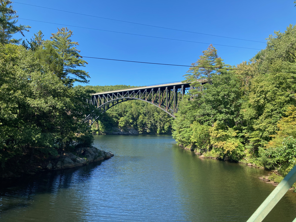
Once I was on the other side of the bridge I was in the town of Erving. I rode a bit west on Route 2, and then took a side fork, which allowed me to cross back over the Millers River near its mouth, on a bike and pedestrian bridge (part of the Franklin County Bikeway). It’s a favorite spot of mine, mainly because of this view, which is looking downriver at the mouth of the Millers, as it empties into the Connecticut River, and beyond that the French King Bridge, which carries Route 2 over the Connecticut:
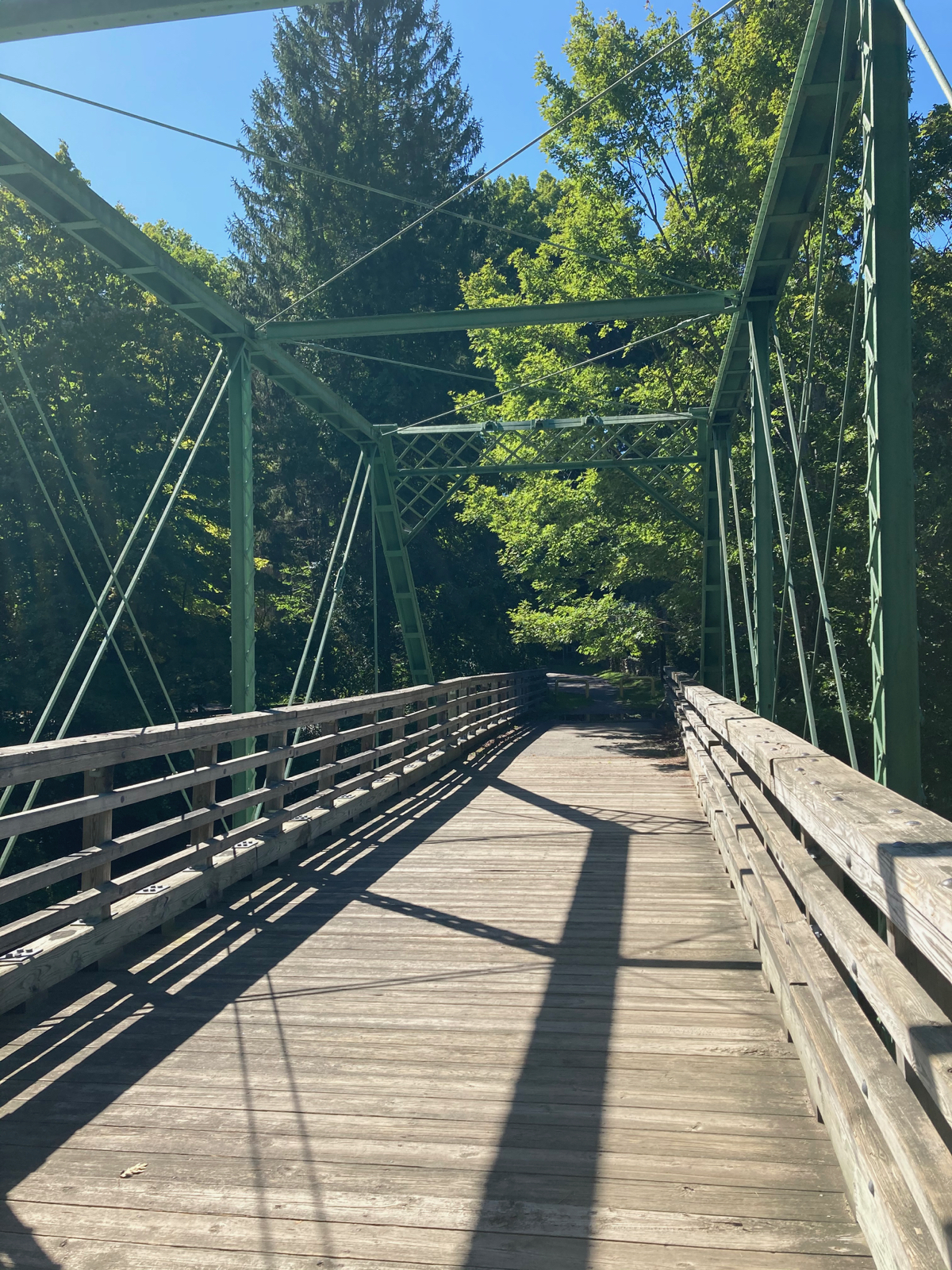
Here’s the little bridge that I was on:
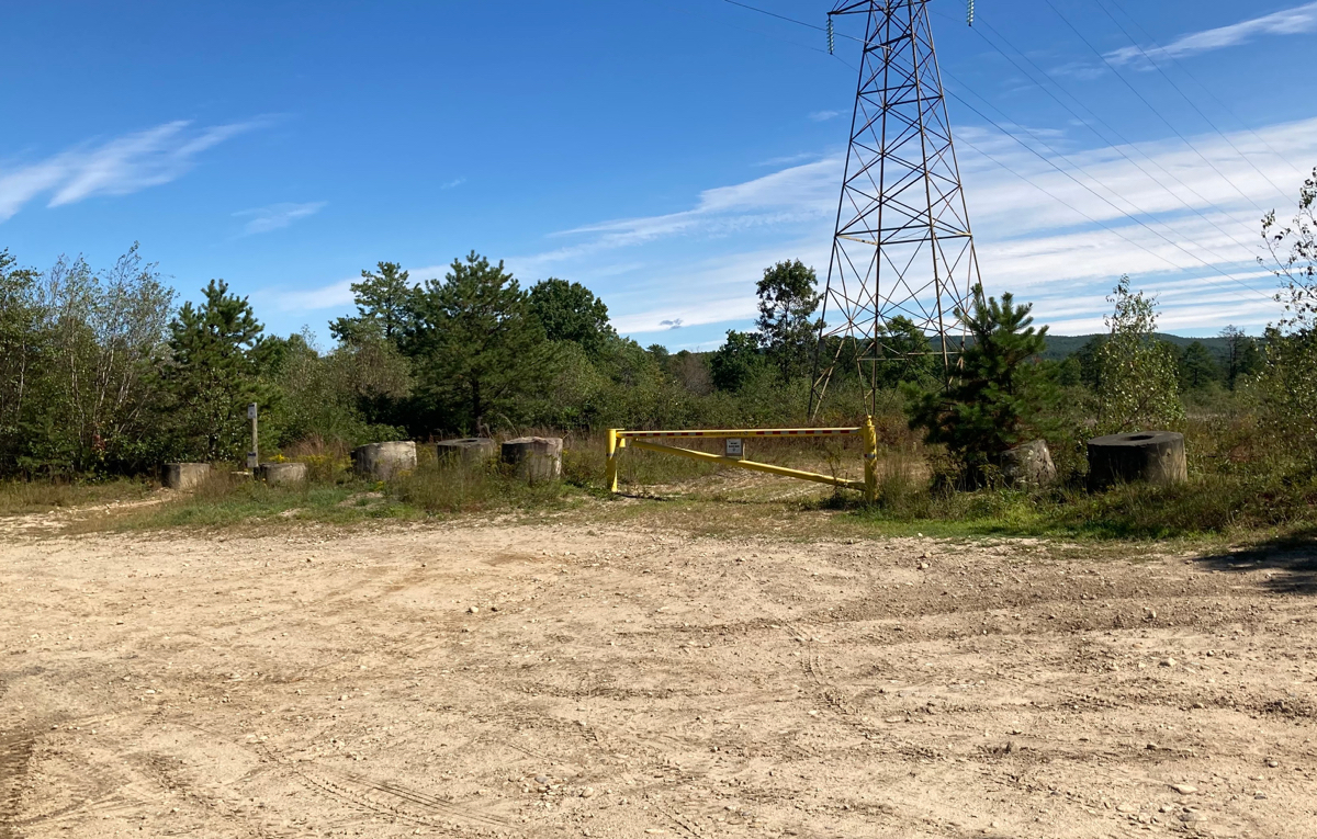
I headed south from here, and uphill for a short distance. Once I got a little ways into Montague, I went west on a road that I had not followed before. It turned out to be a dirt road, which went through a state wildlife management area. The road itself was not hilly at all, which was nice, but it did have lots of ruts that had puddles in them, so I had to avoid those. There were also a few sections of road that were sandy, and so my traction was not great (and my steering was a bit affected). It was mostly wooded, but at one point toward the western side of the area there was a big parking area, and some clearings stretching north and south:
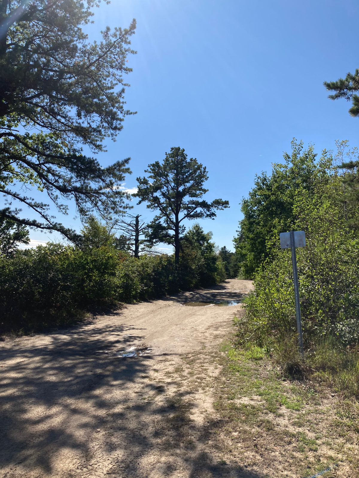
Here’s the road itself, looking west from this parking area:
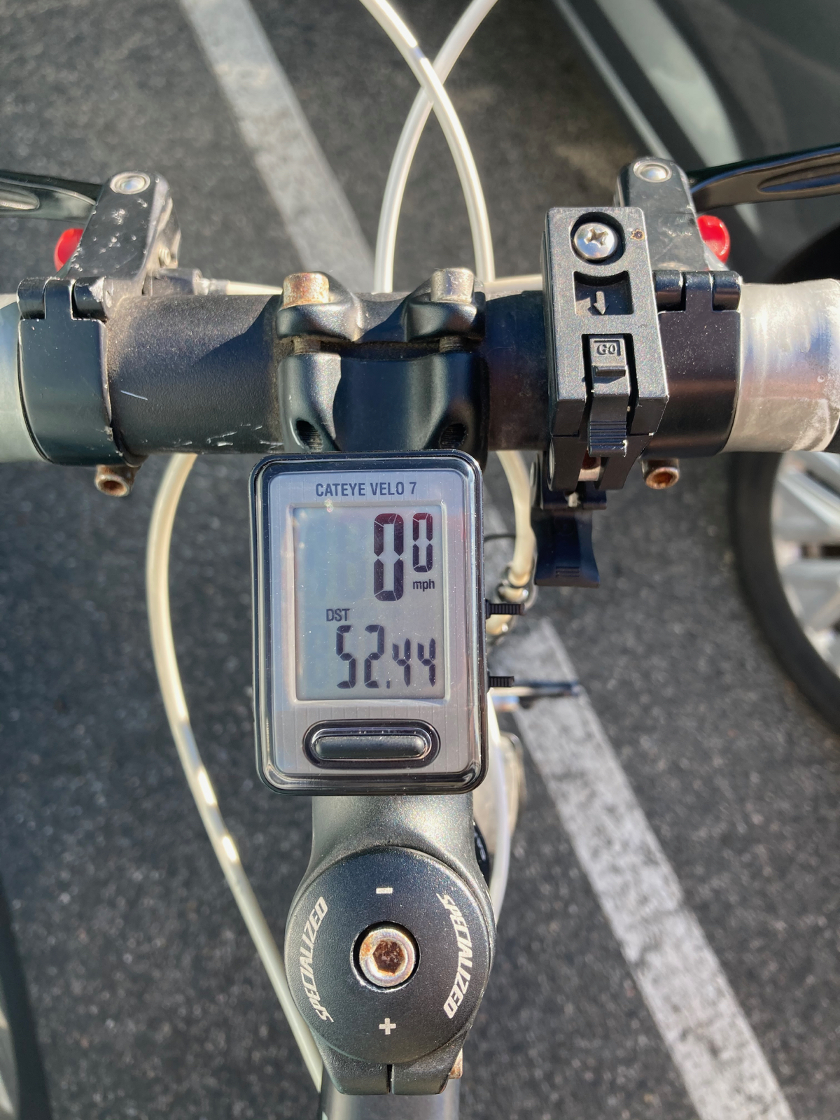
The road became paved shortly before it ended, and I turned south onto a more main road (Turners Falls Road), then went a bit more west, and headed south on a series of roads that follow the Conn. River. I made my way through the rest of Montague, and then through the town of Sunderland, getting onto Route 47. I followed 47 all the way into Hadley, and back to the MCRT. I then took the trail east back to where the car was parked, finishing the ride in about 5.5 hours. My total distance was 52.44 miles, bringing the total for the month to about 157.5.
Next ride goes to another state – stay tuned.
1 Comment
Pingback: Sean's Blog » Blog Archive » Several Hills and a Flat