
Last Saturday I went for the bonus ride that I promised to do for Will Bike 4 Food. I did something I’ve only done once before, which is to ride a complete circuit around the Quabbin Reservoir.
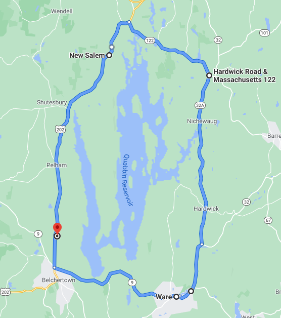
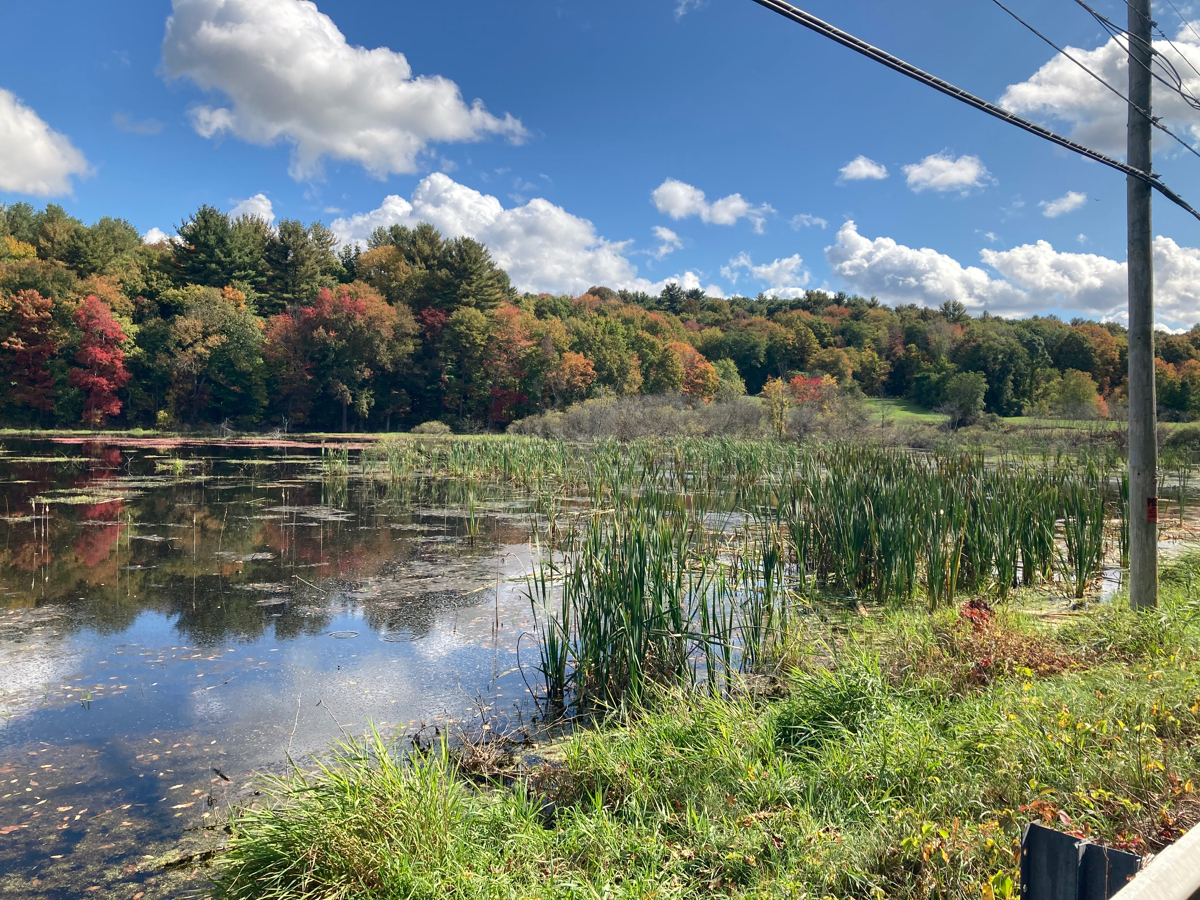
I began by driving to Belchertown with my bike, and parking by the Jabish Brook conservation area on Route 202 (the red marker on the map above). I then rode counterclockwise, so I first went south about 2 miles to Route 9, and then headed east toward Ware. Just after starting out southward, I passed a few cyclists who were heading northward – not surprising, as 202 is a popular road for biking (it’s pretty busy, but has a sizable paved shoulder for most of its Belchertown to Orange length). This eastward leg covered a bunch of ground that I rode in my first September ride, but instead of cutting through the Quabbin reservation on Winsor Dam, I stayed on Route 9 the whole way. This means I crossed the Swift River at the Belchertown/Ware line. Here is the river, looking south (click on any picture to view large version):
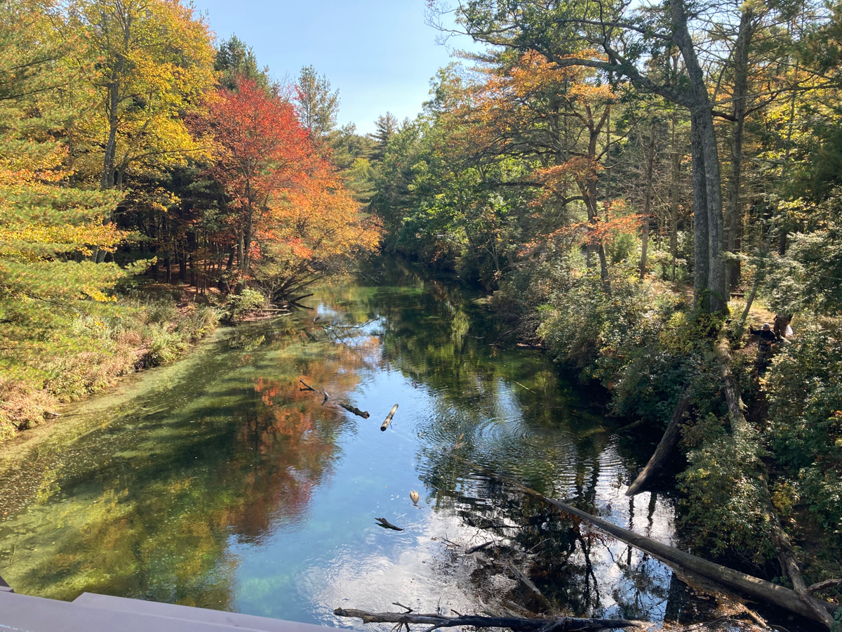
Going this way meant a bit more hill climbing on 9, but it’s not too bad. I got to Ware pretty quickly (in under an hour). I went through downtown, and headed north on Route 32. Shortly before leaving the Ware town limit, I passed this little pond:
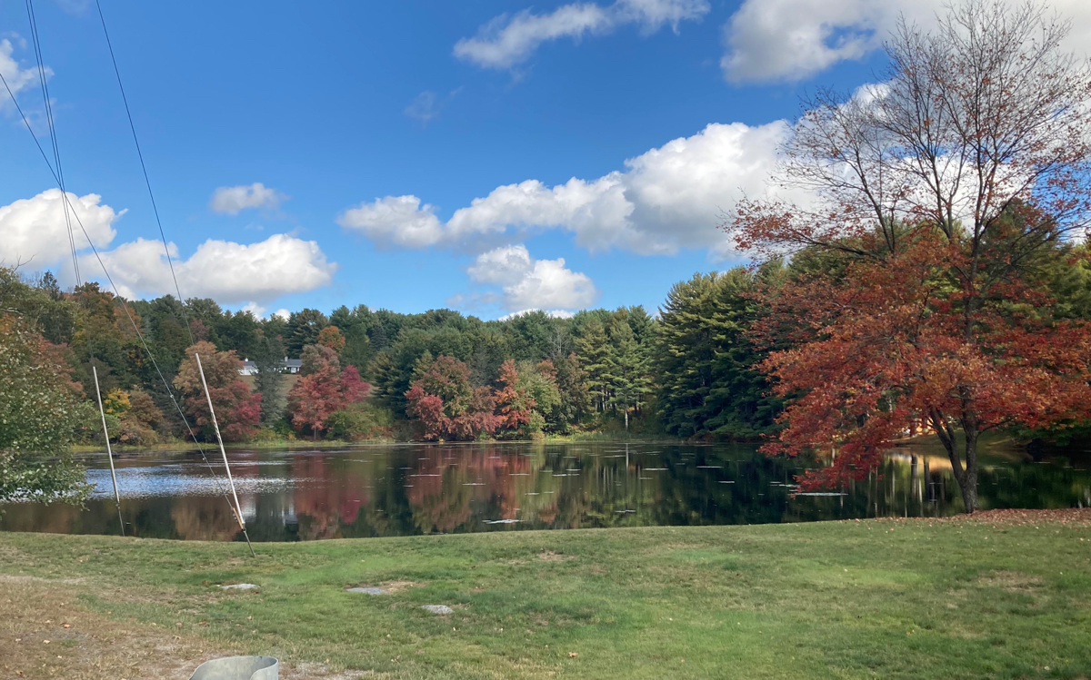
Just after that, I passed into Gilbertville, which is a village of the town of Hardwick. Pretty soon Route 32 angled off to the northeast, but I kept going north on Route 32A. This is when I began to do more serious climbing. None of it was very steep, but the road was going upward more often than not as I made my way to Hardwick center. Here’s a marsh that I passed on a level stretch of road:
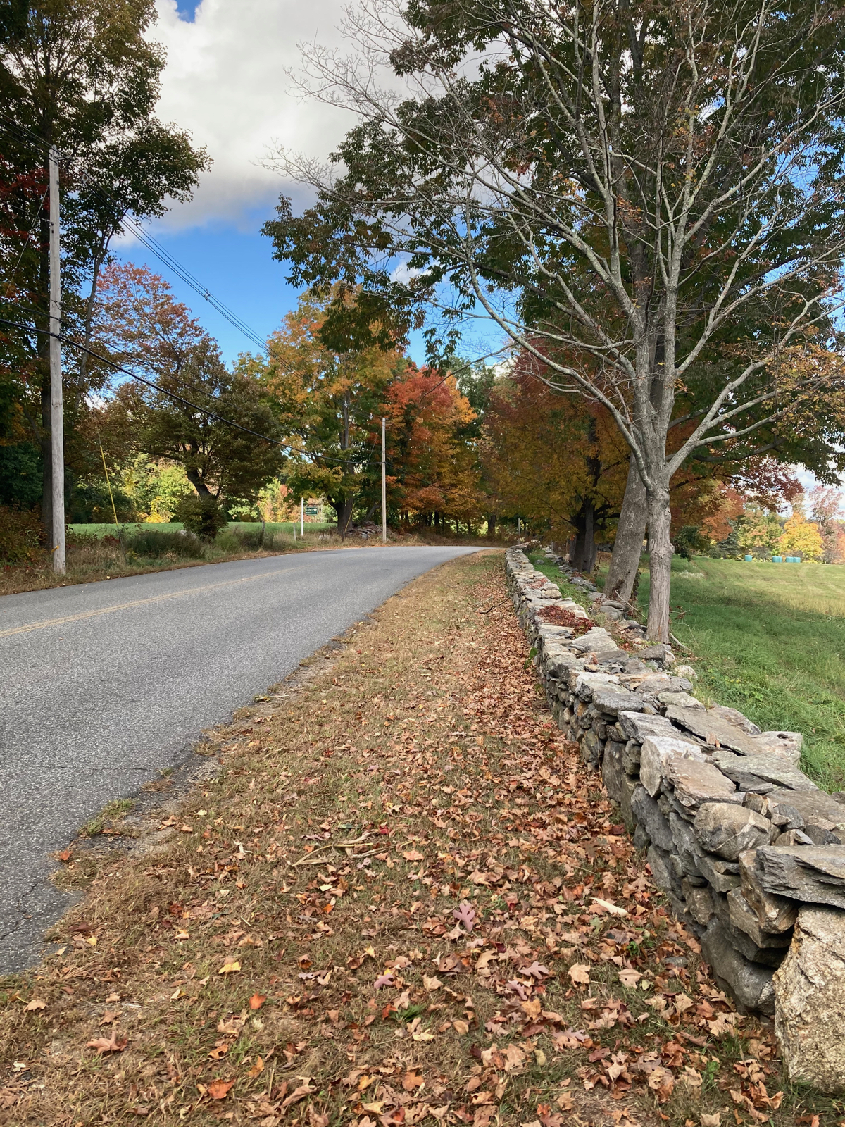
After some more climbing, I got a nice view across a field:
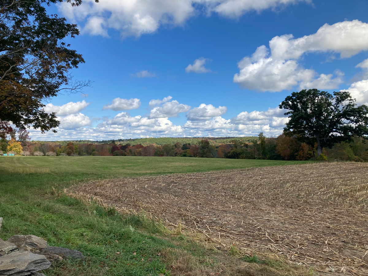
That field was separated from the road by a low stone wall:
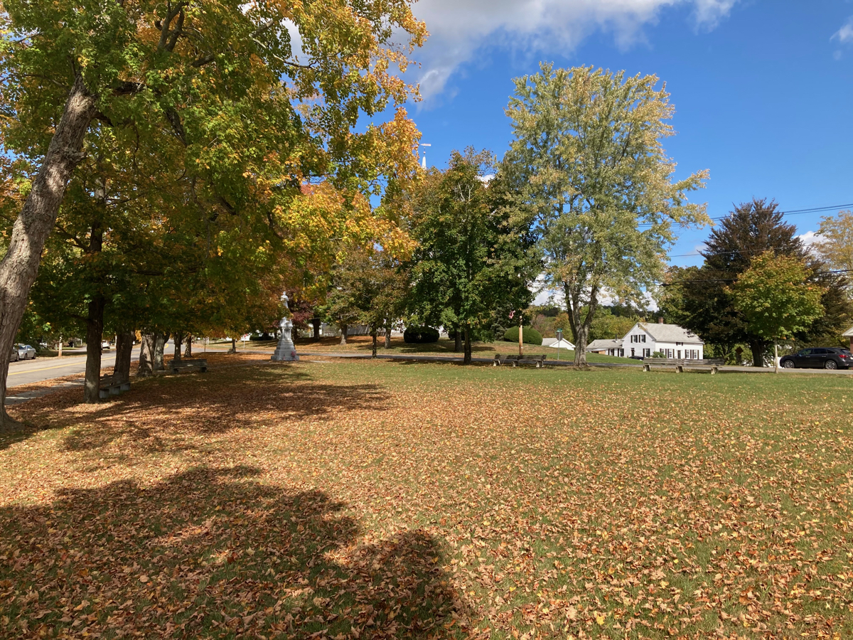
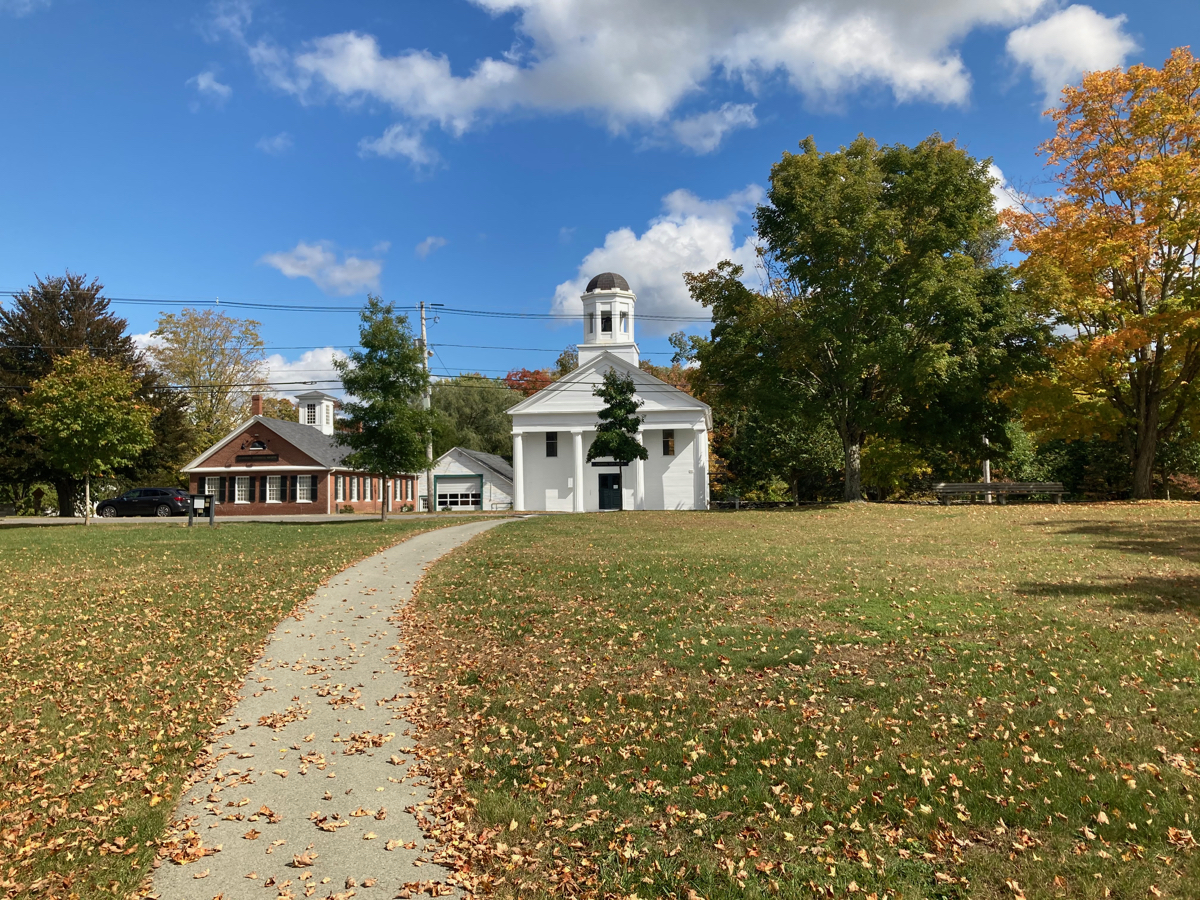
There was a bit of downhill riding after this, then more uphill to get to the town center. Here’s the Hardwick common and town hall:
Eventually I started to get a bunch of downhill riding, and during that stretch I entered the town of Petersham. I made good time for a while, but eventually had to climb again for the last few northward miles. On one of those uphill bits, I passed some cyclists who were heading south, and I believe they were the same ones I had seen back on Route 202 – they were also heading around the reservoir, apparently!
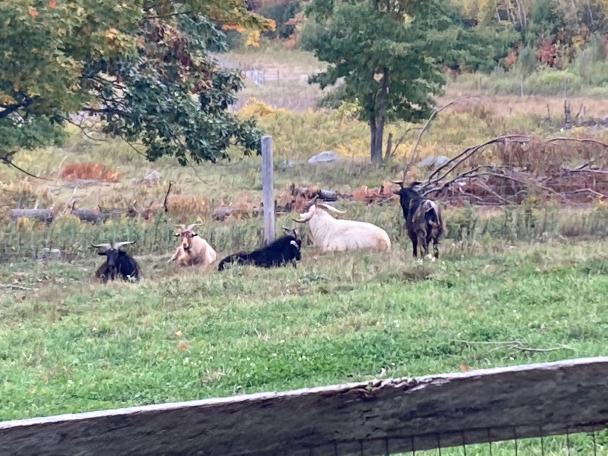
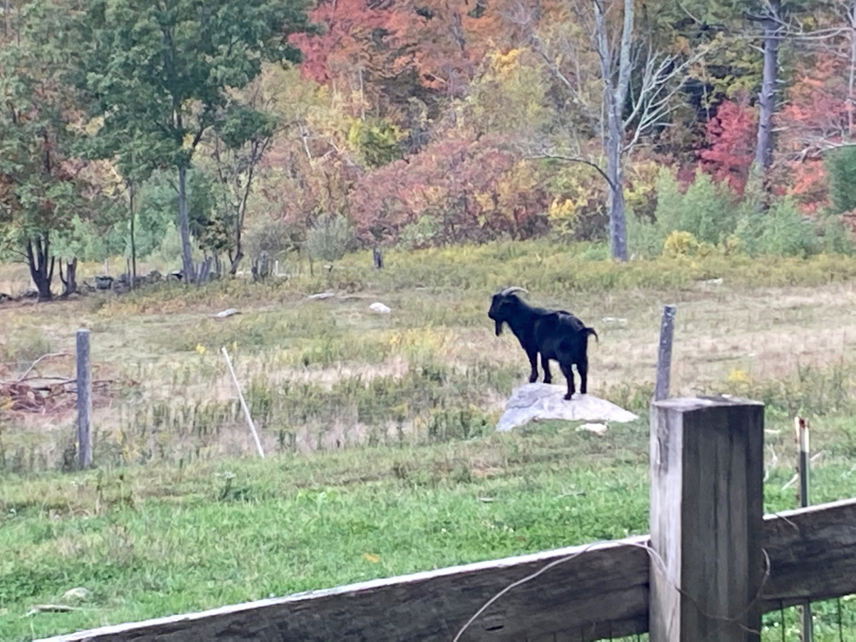
Also on the climb in Petersham, I saw some goats:
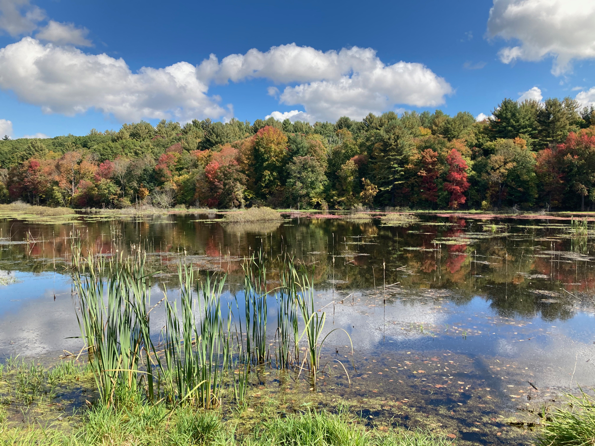
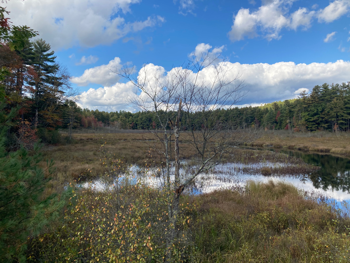
Not long after that, I got close to, but did not go through, Petersham center. Once I reached Route 122 I headed west (really west by northwest). This began with a lot of downhill riding, and then I had some level riding, with a number of bodies of water on either side of the road (and just woods some of the time), as I passed the north end of the Quabbin reservation. Here’s one such marsh on the north side of the road:

I had a bit of climbing to do on 122, but not much, and it only took about half an hour or so on that road to reach Route 202 in the town of New Salem (the north-south legs of this ride were considerably longer than the east-west ones). Once I turned south on 202, I had some more climbing to do, and I paused just before beginning the climb by this marsh:
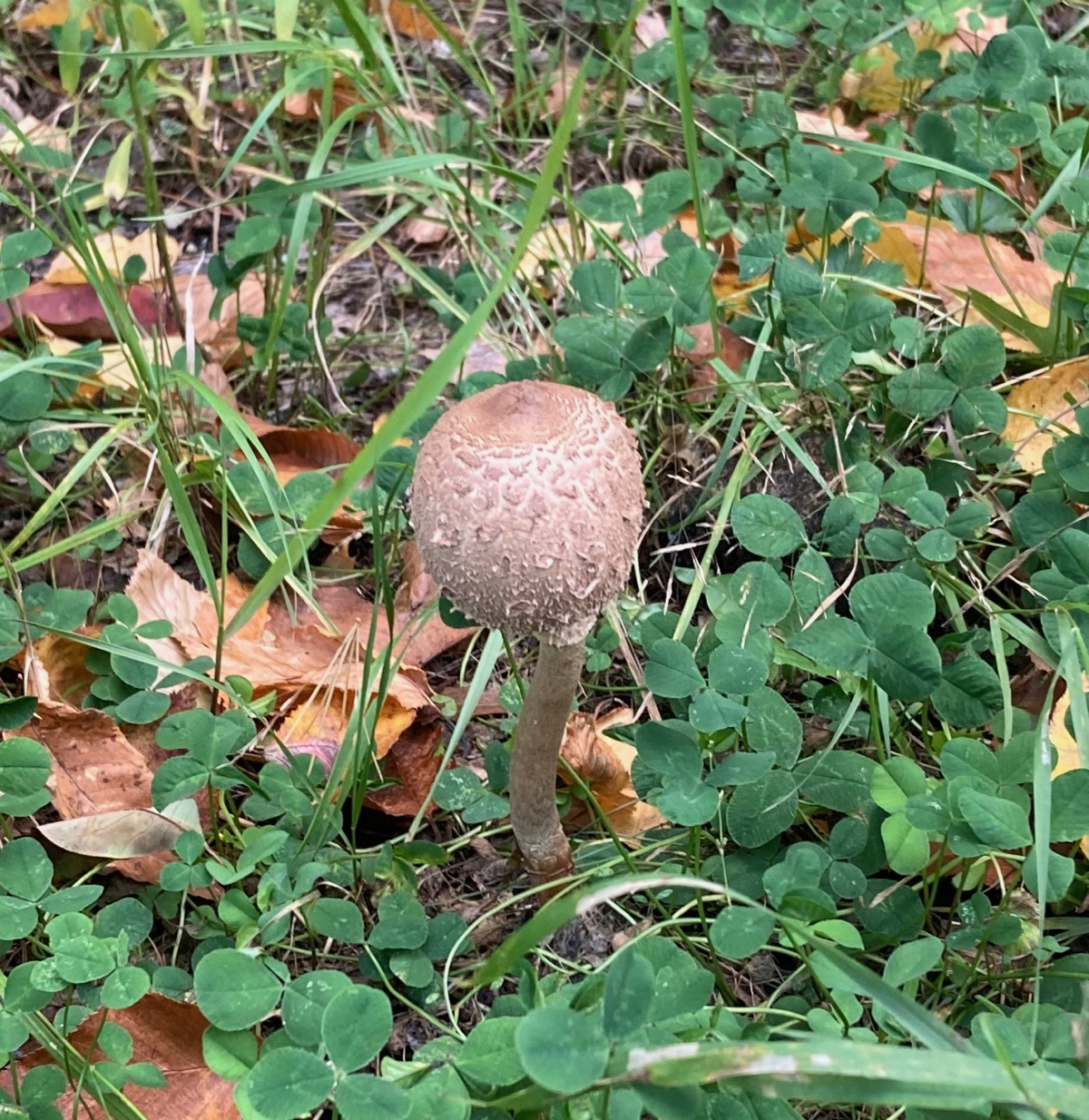
I had to climb for about 2.5 miles before things leveled off, and I passed near New Salem center. I then was rewarded with a bunch of downhill riding, before passing into the town of Shutesbury and heading uphill again. This pattern repeated, and I was climbing again, still in Shutesbury, when I stopped to rest and noticed some interesting mushrooms growing by the side of the road. Here’s one of them:
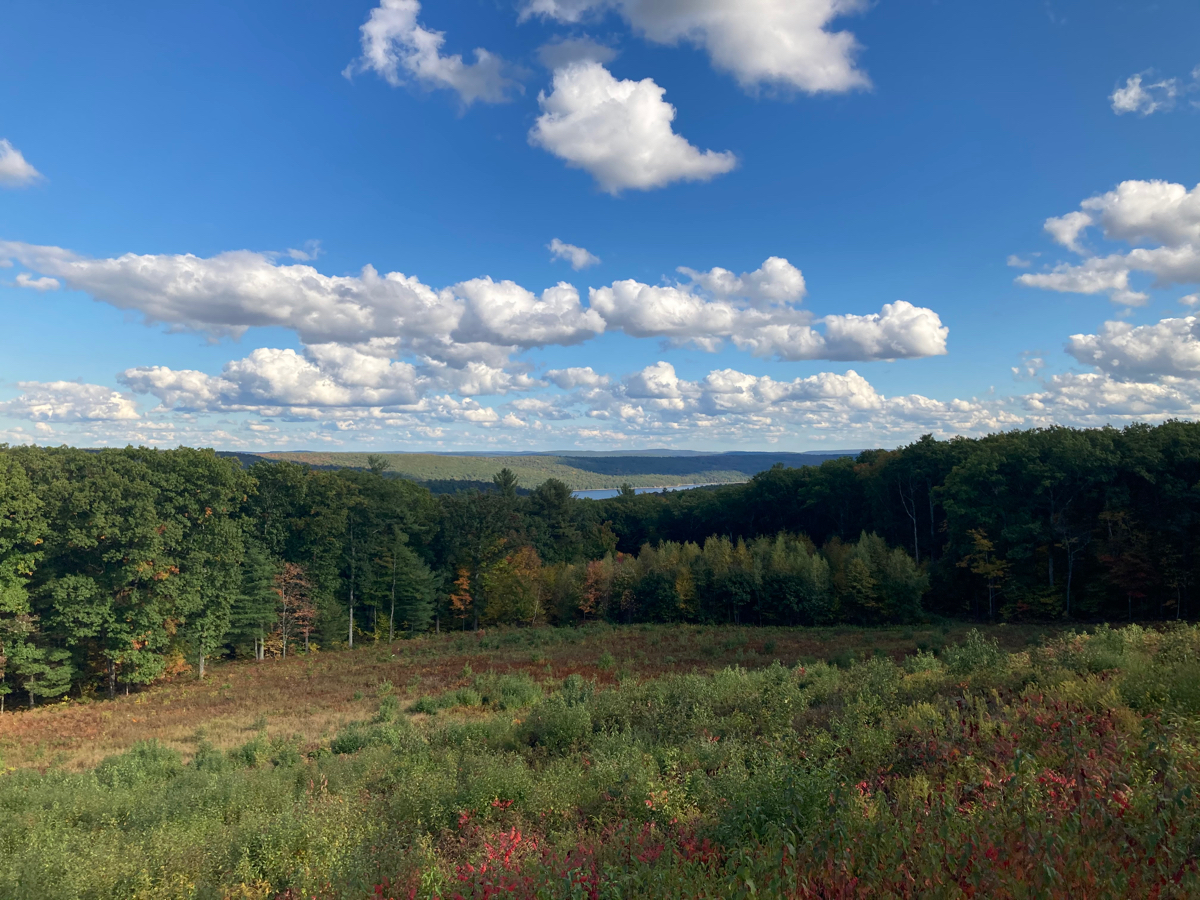
I climbed out of Shutesbury and into the town of Pelham, and this was the last real climb of the day. Pelham has one of the highest points on 202, and there is a pull-off area at one point, where you can get a glimpse of the Quabbin itself:
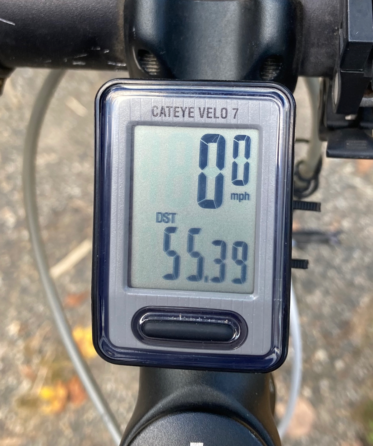
From here, it was almost all downhill the remaining few miles to where I had parked the car. I got to the car not long after passing back into Belchertown. My distance for the day was 55.39. As this ride was on October 3, and my first one had been on September 6, that means I rode a total of 500 miles in a month’s time!
Thanks again to all who donated and have followed my rides this year!