
The Friday just before Labor Day, I went on a ride to a town I’d been in once before, as well as some towns I’ve been in several times, but I went on a bunch of roads that were new to me.
I headed west from home to the Ashley Reservoir, and went south along the reservoir’s paths. You can tell we’ve gotten an unusual amount of rain this summer, as the water was flowing over the path in a couple of spots (click on any photo to see a larger version):

Here’s the view looking back, after I crossed the flooded spots:

I got to the south end of the reservoir without any other trouble, and exited into the woods. I continued south into West Springfield on the forest path, having to walk my bike in a few spots to go around large puddles. Eventually I came to a crossroads in the Bear Hole nature area, and headed west into Westfield.
I emerged onto paved roads in Westfield and made my way a bit further south, and much more west, crossing the Westfield River on the bike/ped bridge. Going further southwest, I passed over the Little River:
I then started heading uphill, toward the town of Granville. On the way up that hill, while still in Westfield, I came across a water treatment plant, which had these interesting old buildings as part of it:

There were also newer looking buildings that probably got more use. The odd thing about this plant is that it seems to belong to the city of Springfield, not Westfield. Not sure how that works.
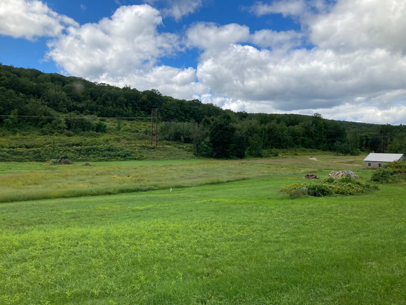
Not long after this I passed into Granville, and the road leveled off. I passed this big field with a pretty view:
A little more riding brought me to the town center. I stopped here to eat my lunch on the town common, which is a nicely landscaped park:
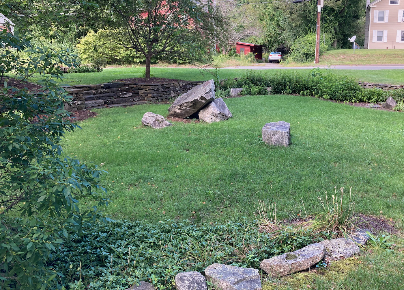
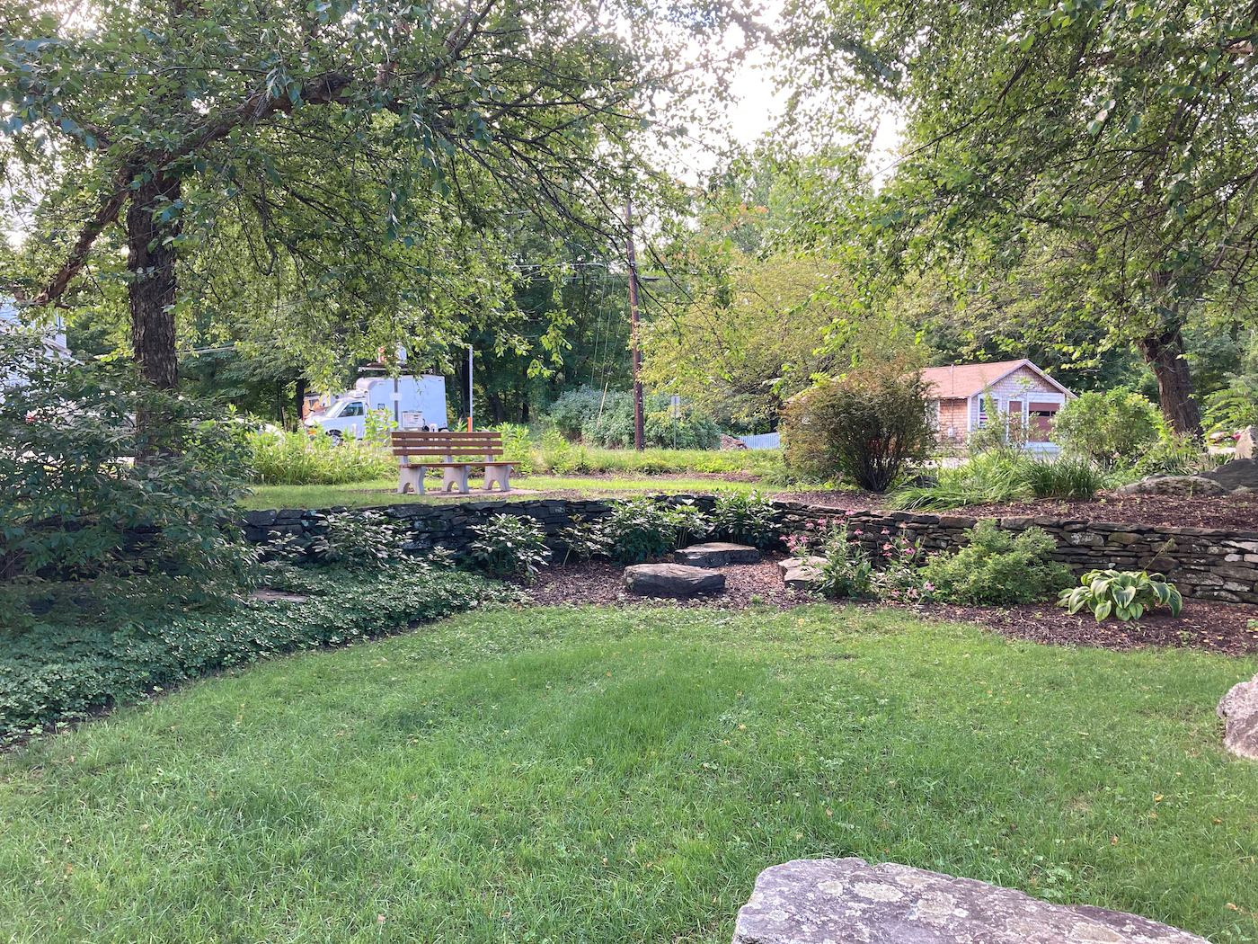
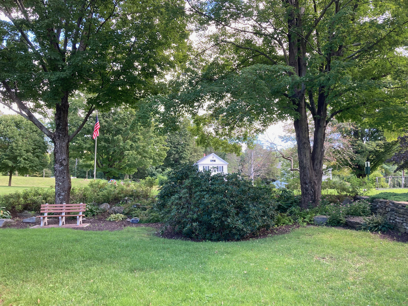
It was a nice, shady place to take a break, and prettier than many town commons, which are often just huge lawns. I passed this common once before, on a ride I did last year for the Food Bank, but I had not stopped for more than a minute at that time.
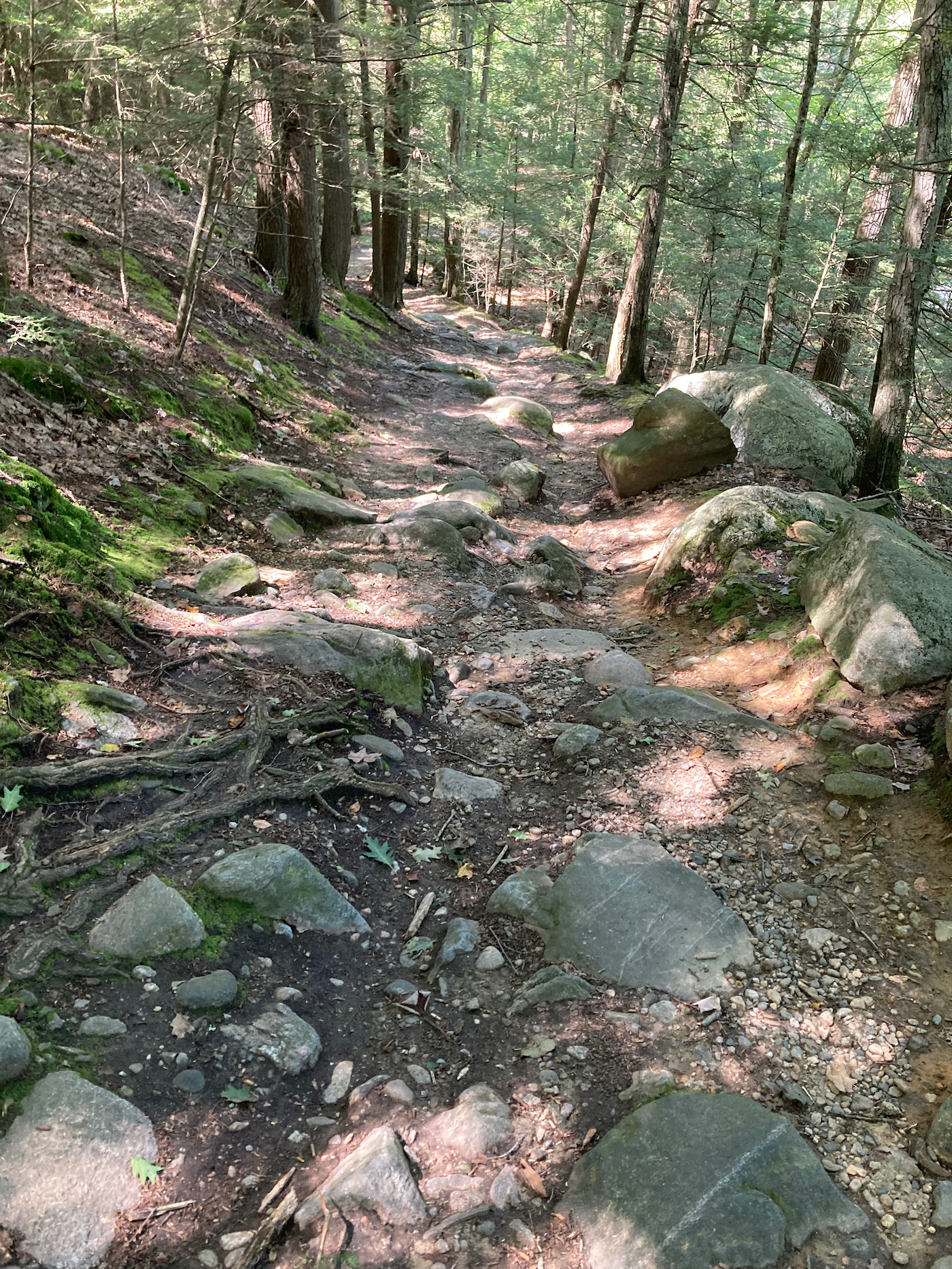
From there, I headed east, on Route 57, which also took me downhill quite a ways. Just a little after I passed the town line of Southwick, I turned off the road to visit the Granville Gorge. This is something I had not heard of before, and only learned of its existence when I was looking at Google maps to plan this ride. There is a short dirt road that enters the woods, and comes to a parking/turnaround area. From there, there is a walking path heading down to the gorge area:
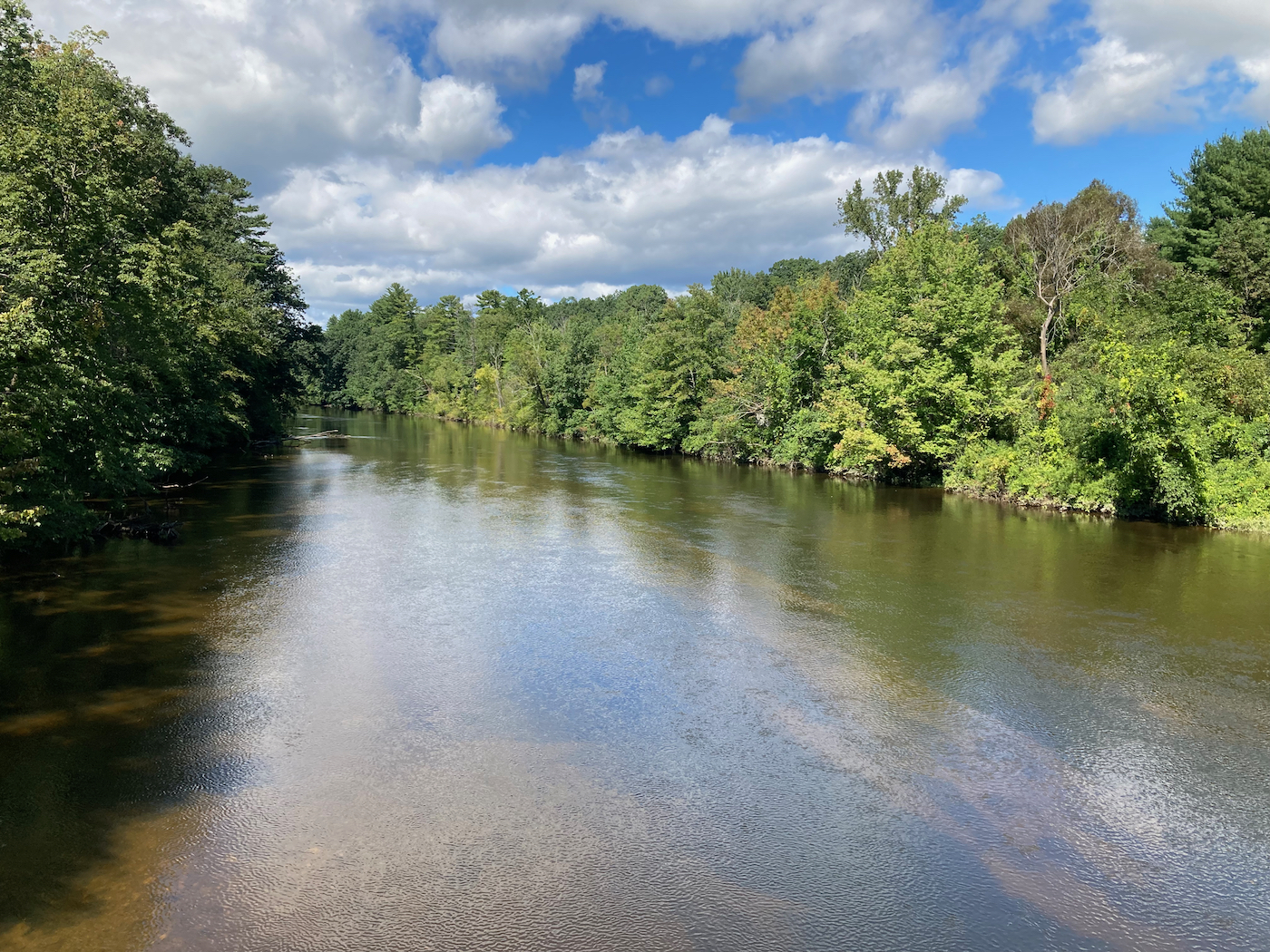
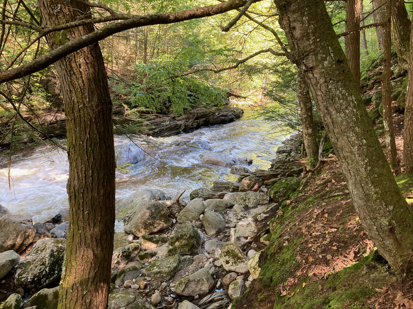
The river (the name of which I can’t seem to find) was flowing pretty strongly on the day I visited:


I was only at the gorge about 10 minutes, as I wanted to keep moving on my ride. I went a little further east on Route 57, then turned south and rode down into Connecticut, and the town of Granby. I made my way south until I passed neat that town’s center, and then went east into the town of East Granby. There I picked up the New Haven to Northampton rail trail, and started back north. I did not take the trail all the way to Massachusetts, though. I got off the trail at its last road intersection in CT, and headed northeast through the town of Suffield. I eventually got back into Mass at the eastern edge of Southwick, and then immediately turned east and entered the city of Agawam.
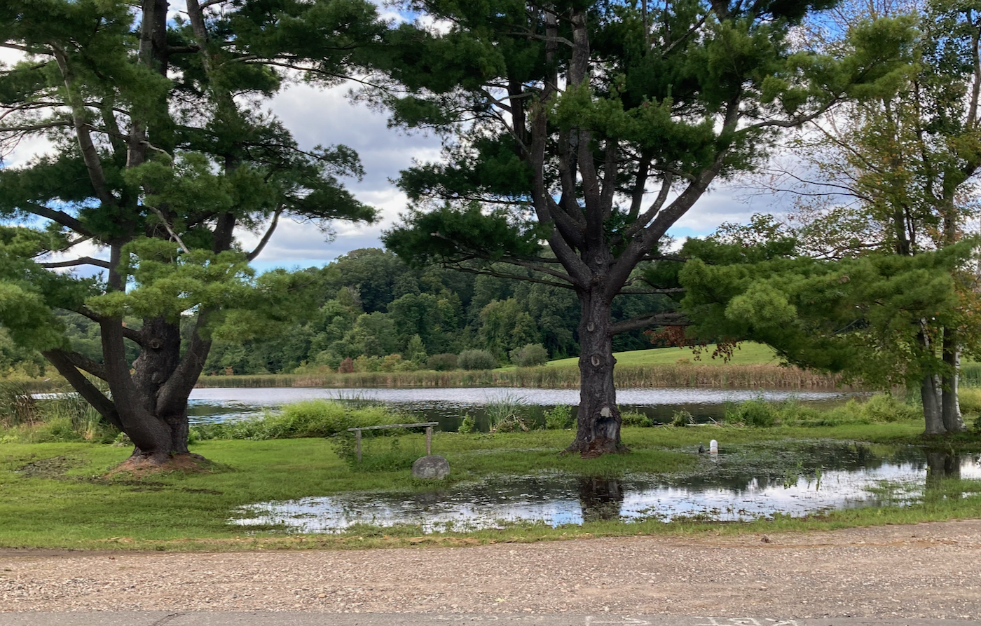
I made my way through a rural part of Agawam, where I saw this pond:
Slowly things got more urban as I went east and north, and I crossed the Westfield River again to enter West Springfield. I then made my way due north back up into Holyoke and home. Total distance for this ride was 59 miles.