
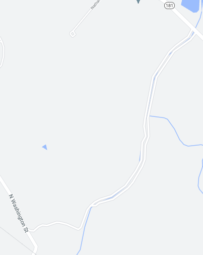
The Friday before last I went on a ride out to the town of Ware, and took a bit different route than I’ve used other times. I started by riding east through South Hadley, Granby, and Belchertown on roads I’d used in the past, until I passed Route 21 in Belchertown. Just past it, I turned north on North Washington Street, and followed that up to a road that appeared on maps, but was not labeled. Here’s what the unlabeled road looks like ( the one that appears to divide in two as it heads northeast):
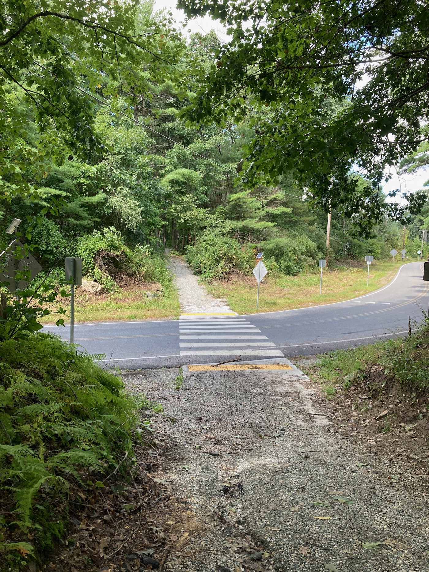
That road did not turn out to be much of a road, and was not directly accessible from N. Washington. Just before the point where it starts on the map, and just past some railroad tracks, I came to a dirt bike trail that crossed the road. It turns out that turning right onto that trail leads shortly to a fork, and the left fork takes you onto the “road”, which is little more than a dirt path (the official bike trail heads to the southeast, and happens to be part of the future Mass Central Rail Trail). Here’s what the bike trail looks like just after getting onto it (click on images to enlarge):
And here is the view back towards the road crossing:
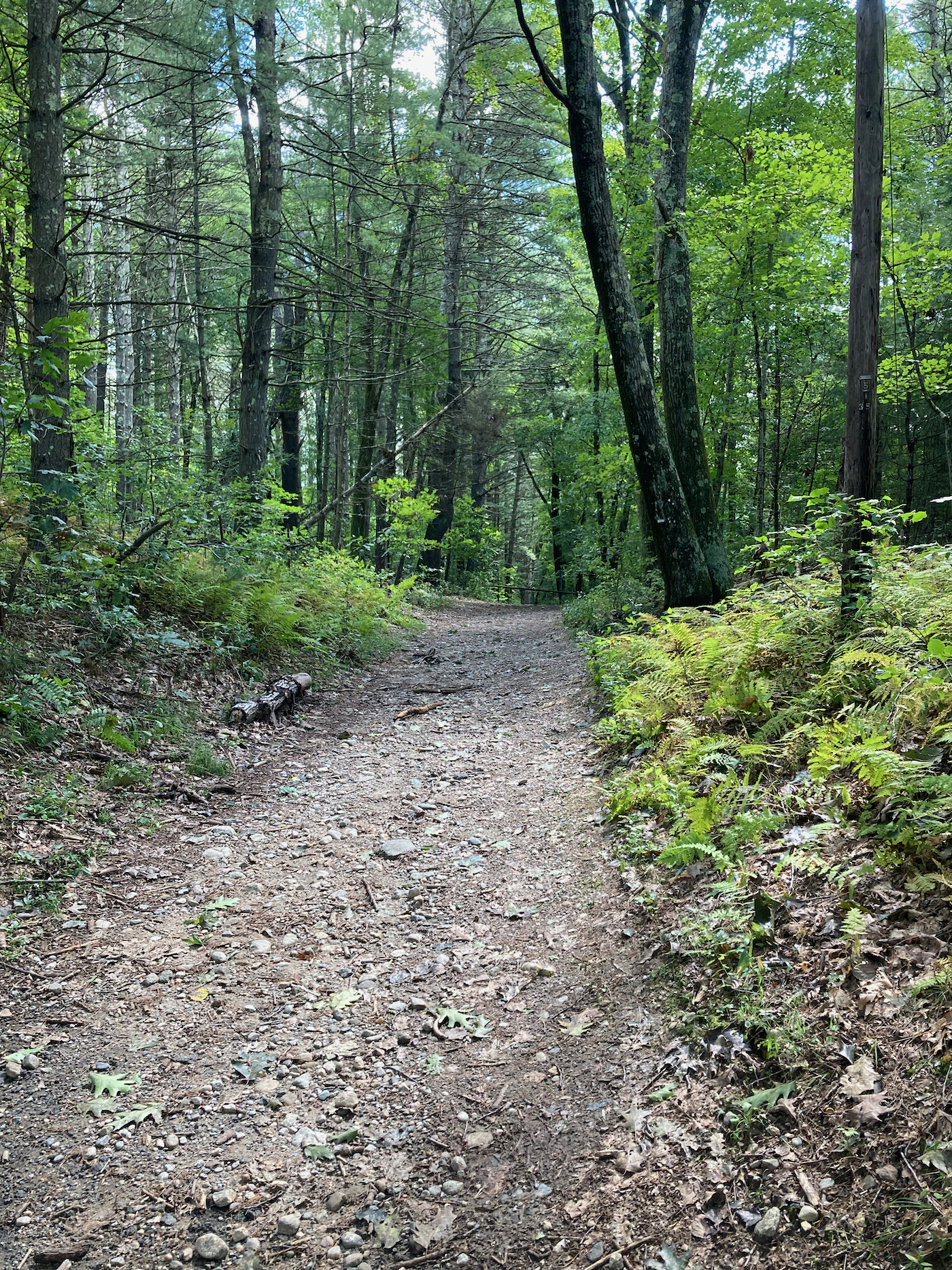
I took the left fork to head northeast, and here is what the initial part of the old road looked like:
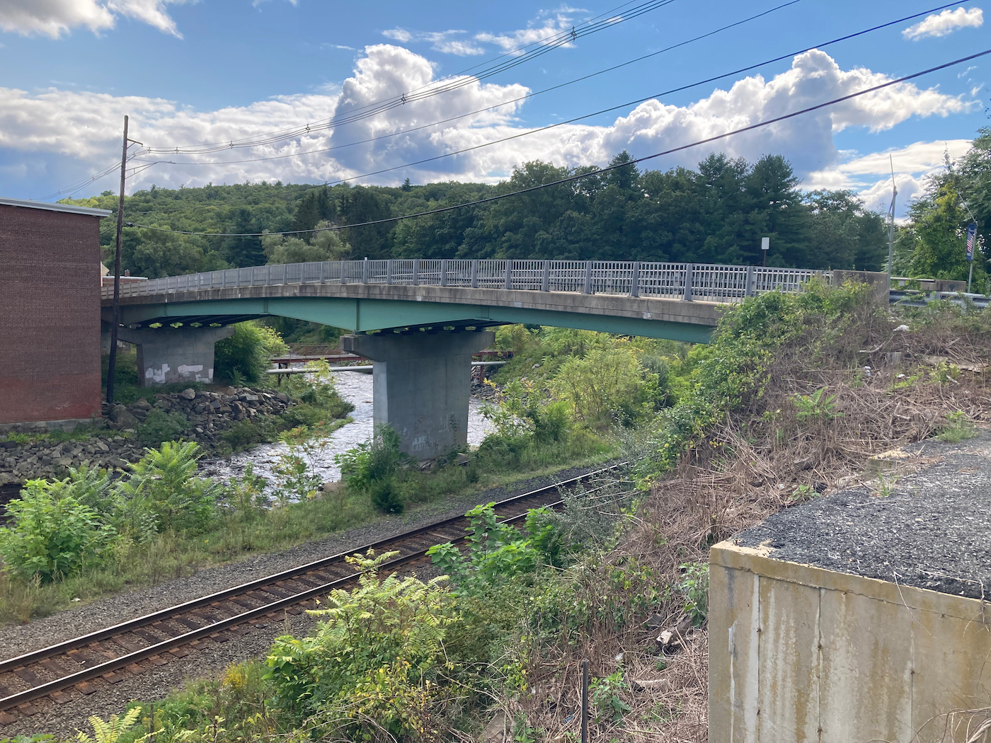
There was a creek to the right, though you can’t see the water in this photo. It was pretty easy to ride the path/road, and after a while I came to the part where it splits. There is an old bridge there, which I did not want to try crossing:
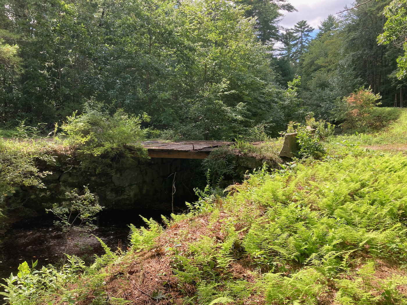
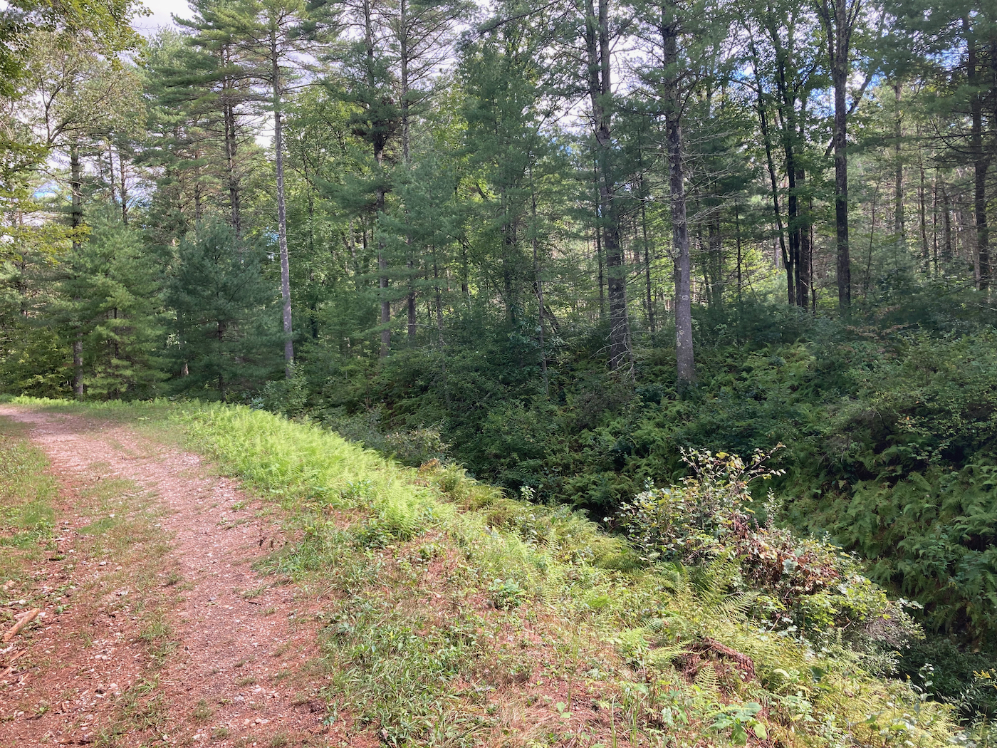
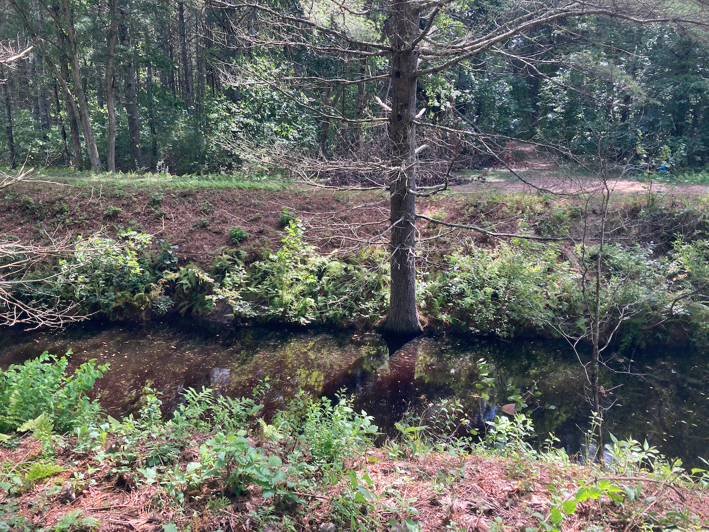
From that point there are 2 paths, one on each side of the creek. Here’s a more direct view of the creek itself, and the path on the far side:
A little while after this I got close to Route 181, and the clear path seemed to divert into a farm driveway. Not wanting to trespass, I kept going straight, which had me riding through a lot of weeds, some of which were poison ivy. Fortunately, I did not brush any of that with my skin.
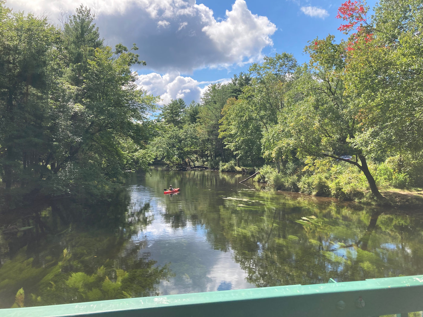
I emerged onto 181 and headed south a ways to Cold Spring Road, and then took that east. I had to go uphill a little, but then went downhill quite a bit to the Swift River, which forms the town line with Ware. Here’s the river seen from the bridge (looking south):
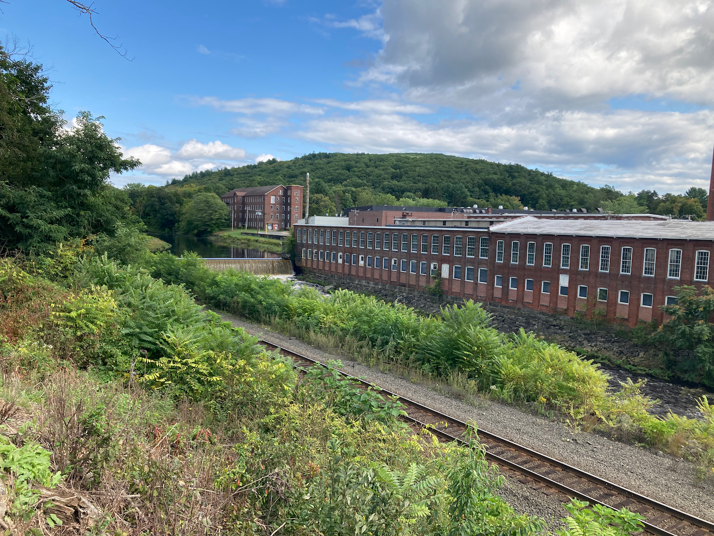
I kept heading east, climbing the hill into Ware. I made my way somewhat north as I went east, and had some downhill riding, followed by more uphill, until I came out on Route 9. I then went east and downhill into downtown Ware, and rode through to the far side of town, where I stopped off at Janine’s Frostee for lunch (I had a lobstah roll).
After lunch, I went to ride south on a road that was new to me – one that had been suggested when I mapped my route. On maps it is labeled as “Prendville Road”, and comes off of Route 9 at an acute angle before turning south. However, the road does not have any street sign marking it. I found it after a couple of passes, and double-checking the map, as it looks like it could be a driveway. It goes uphill, and so I started riding up.
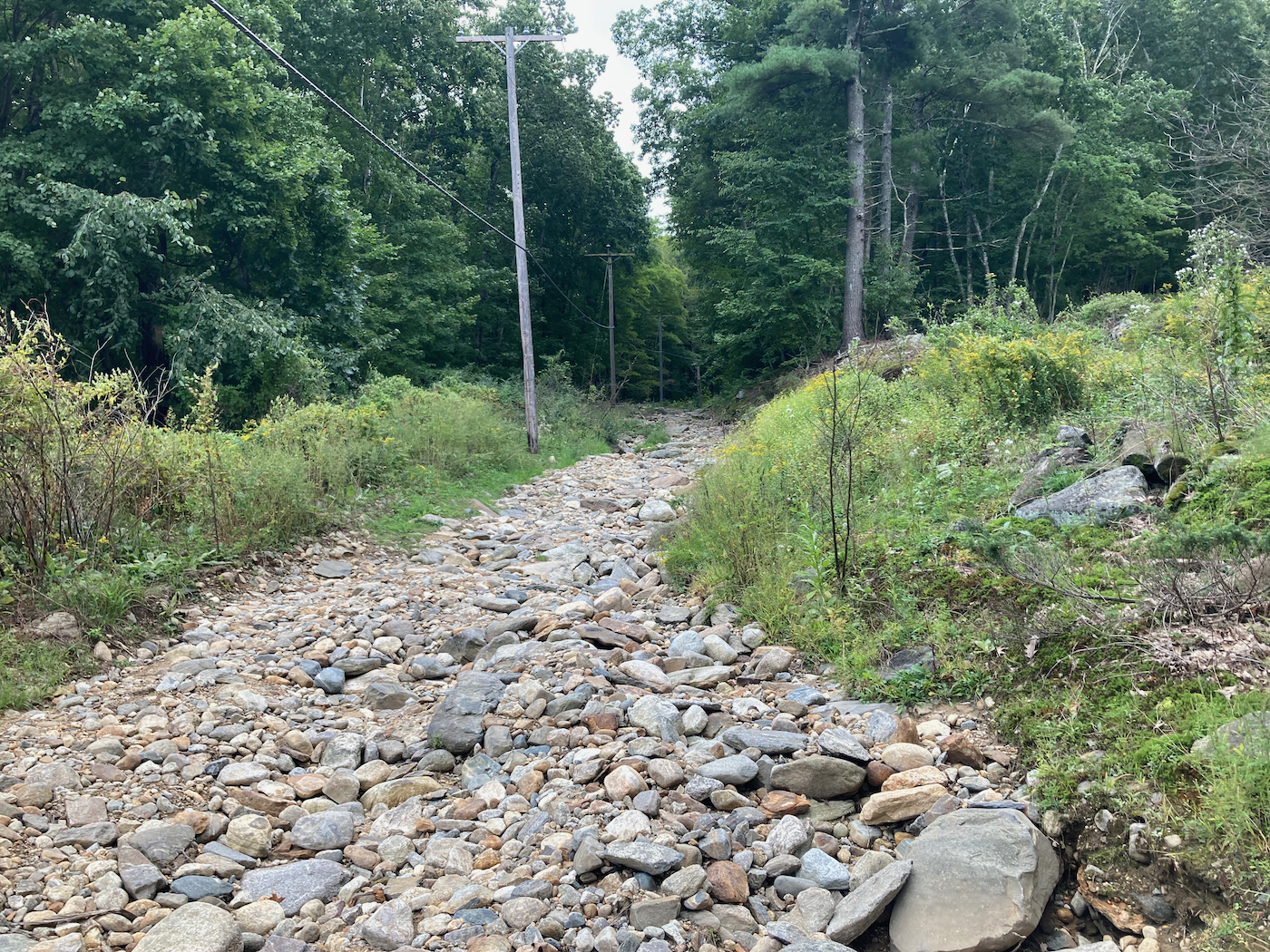
The road became dirt/gravel after a few dozen yards – here is what it looks like there, as it climbs up just behind some houses:
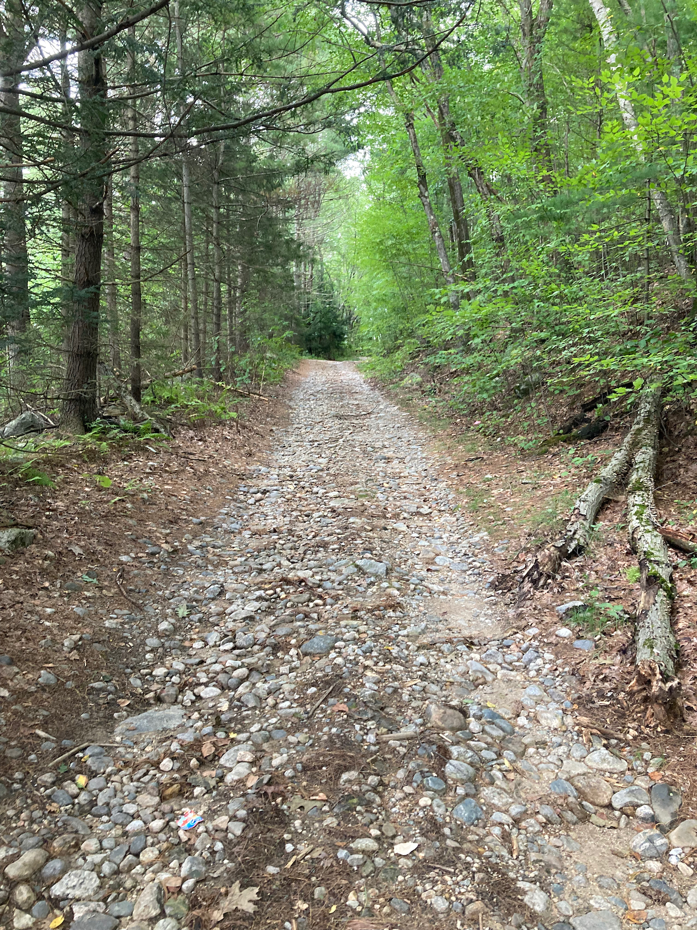
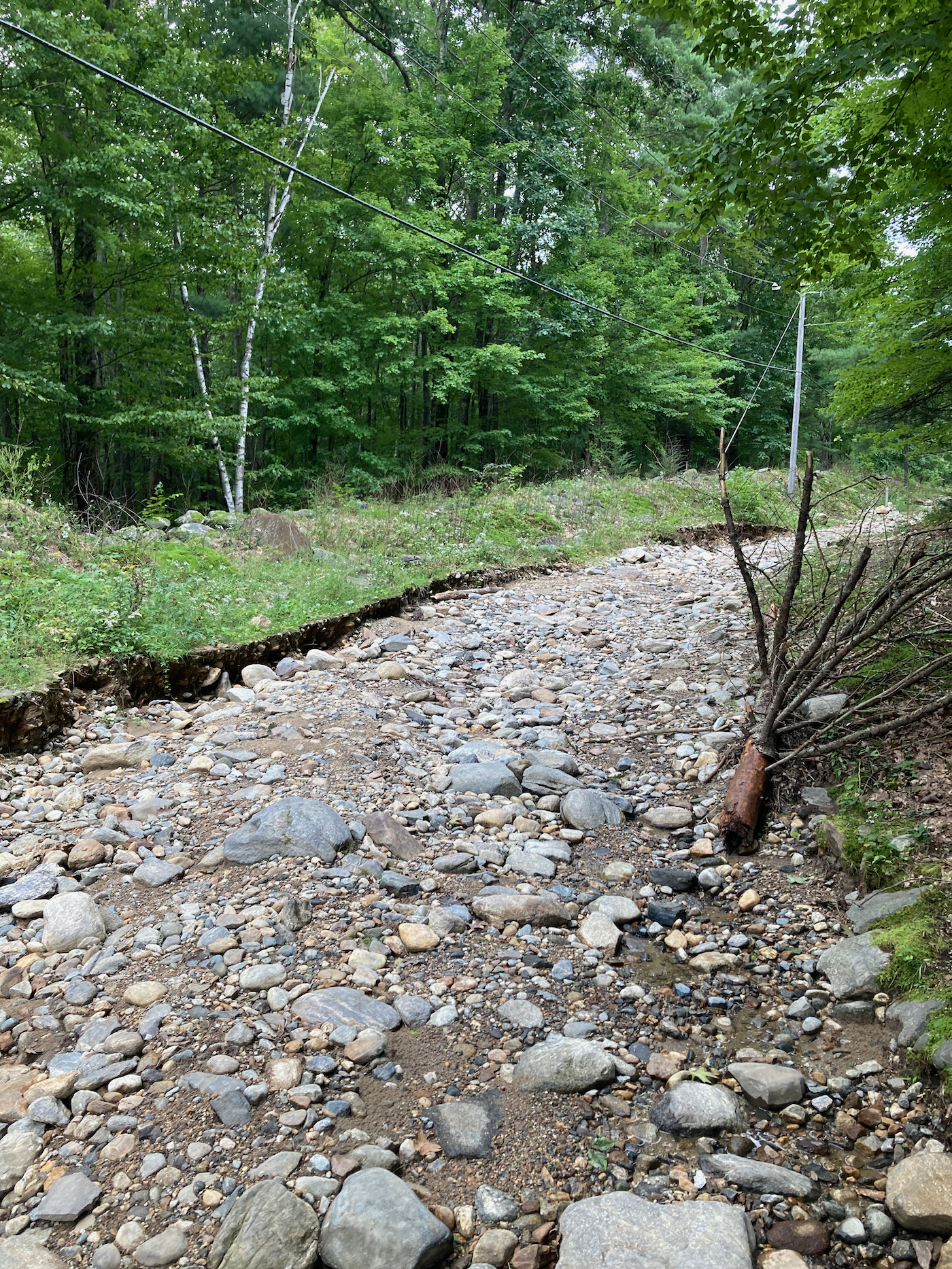
I’m not super fond of climbing dirt roads, but this seemed like it might not be too bad. However, the “road” condition got worse as I went. There started to be more rocks, which were bigger and looser as I climbed. After a while it got too difficult to ride, and I had to walk with the bike. Here’s some typical sections of the thing-that-once-was-a-road:
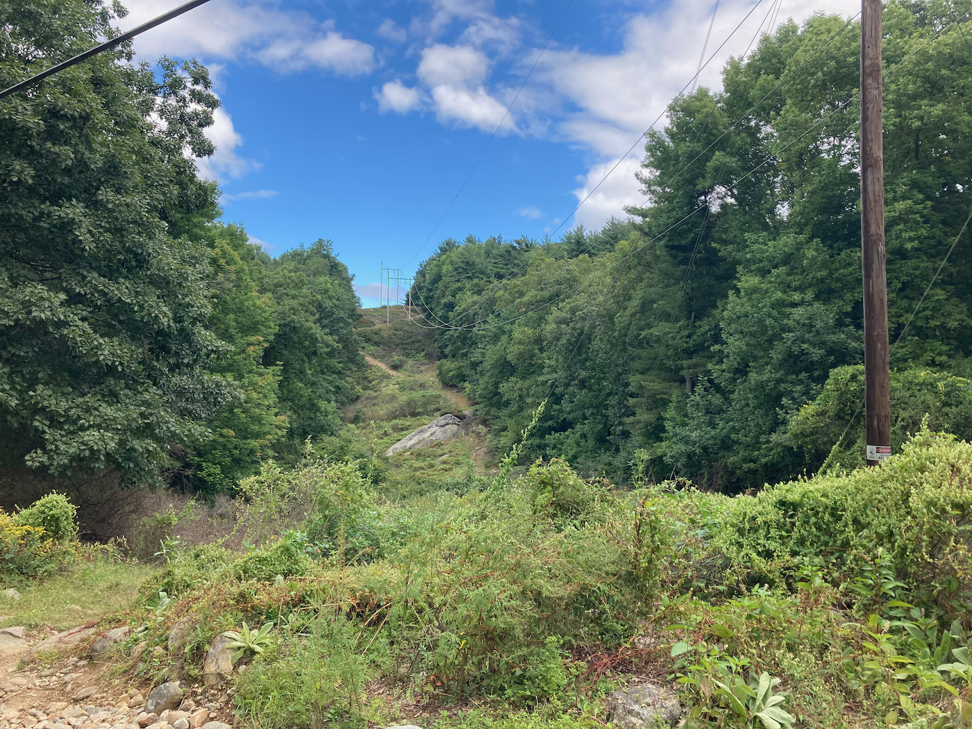
It took quite a while to climb up this, basically hiking while pushing a bike. There were some nice views, at least:
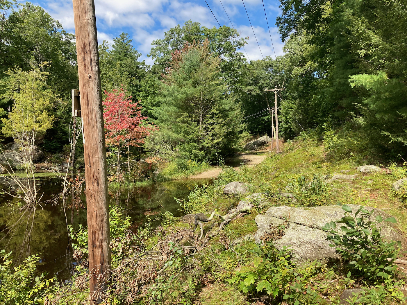
Eventually I got to a point where the road became less rocky, and leveled out. I was then able to ride much of the time, but had to walk the bike around large puddles several times. I then came to a point where the road was flooded by a pond:
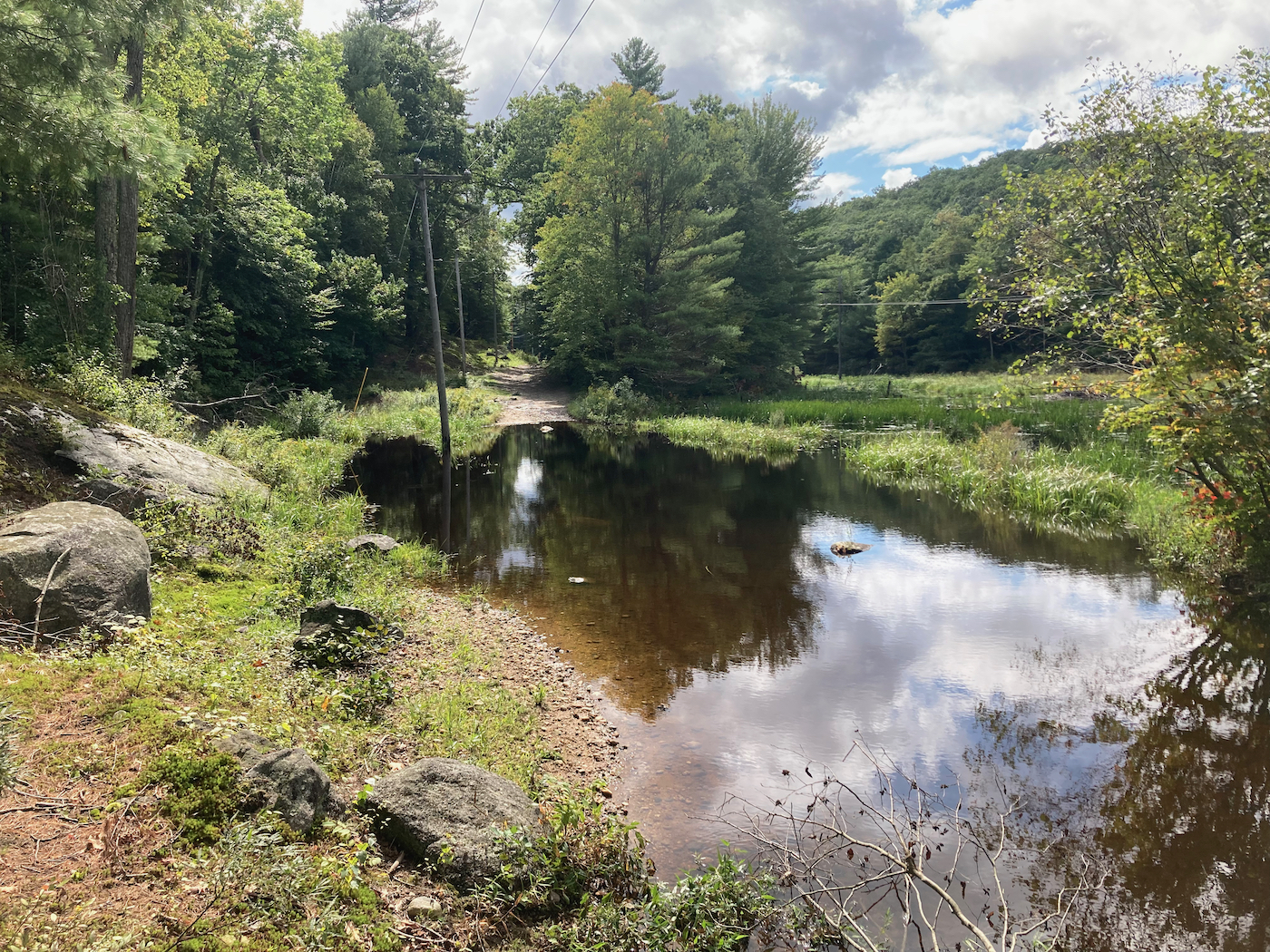
I had walked up onto some high ground to the left of the road to take that picture. Here’s the view looking back at the portion of road I had been on:
The high area I was on did not appear to offer a path past the flooded area, so I went further uphill to the left (east) with my bike, and found a path that led me south through the woods, where I was able to cross a small stream that fed the pond, and then I turned back west and went a bit downhill to rejoin the road.
Just after getting back on the road, I noticed an old town line sign in among the trees. It was very rusty, but you could just make out the words “Town Line”:
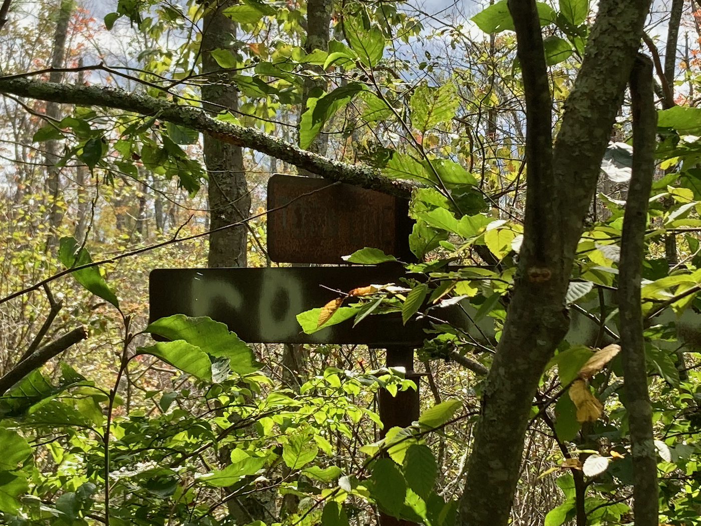
The names themselves are no longer legible, but I know that this is the line between Ware and Warren. So, I continued south into Warren.
There were a number more large puddles that I had to walk the bike around, so I still was not making great time. Here’s a typical one:
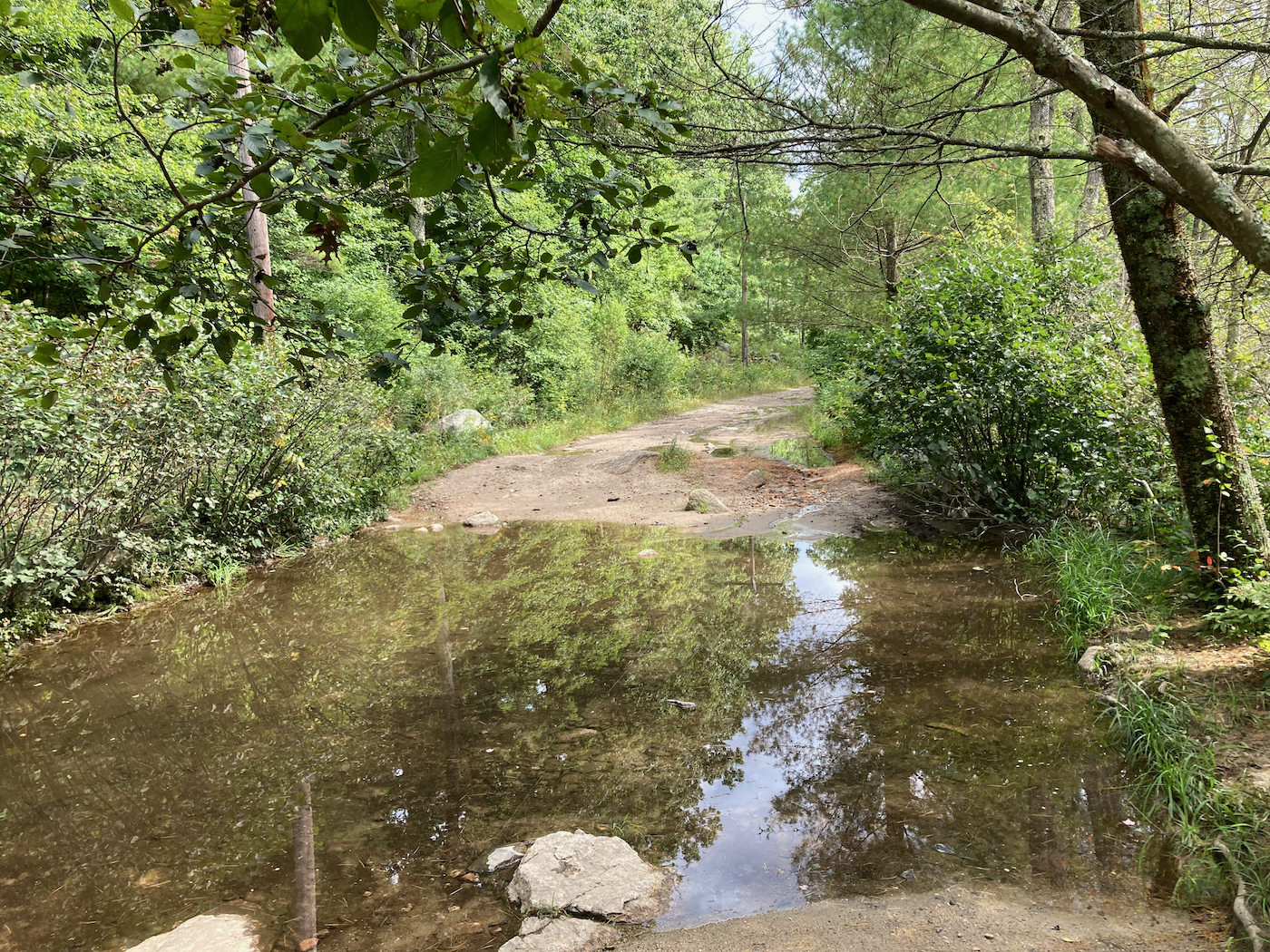
However, I did finally come to an area where the road became paved, and there were houses lining it. This was also when the road began to go downhill, so I had a nice, easy ride into the Warren town center, where I intersected Route 67. I had originally intended to go further south, into the town of Brimfield, but I had lost so much time climbing out of Ware that I turned west at this point to head home.
Route 67 took me into the West Warren area, where there is a little lookout point by the Quaboag River:
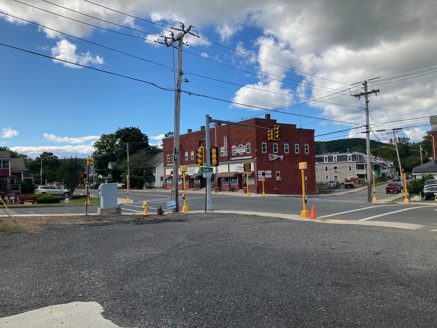
Here are some of the stores in West Warren:
From here I kept going west, getting off 67 in Palmer, and making way slightly north as I went west, passing through Ludlow, and then up into Granby, and back home from there the same way I had come. Total distance for this ride/hike was 62 miles.