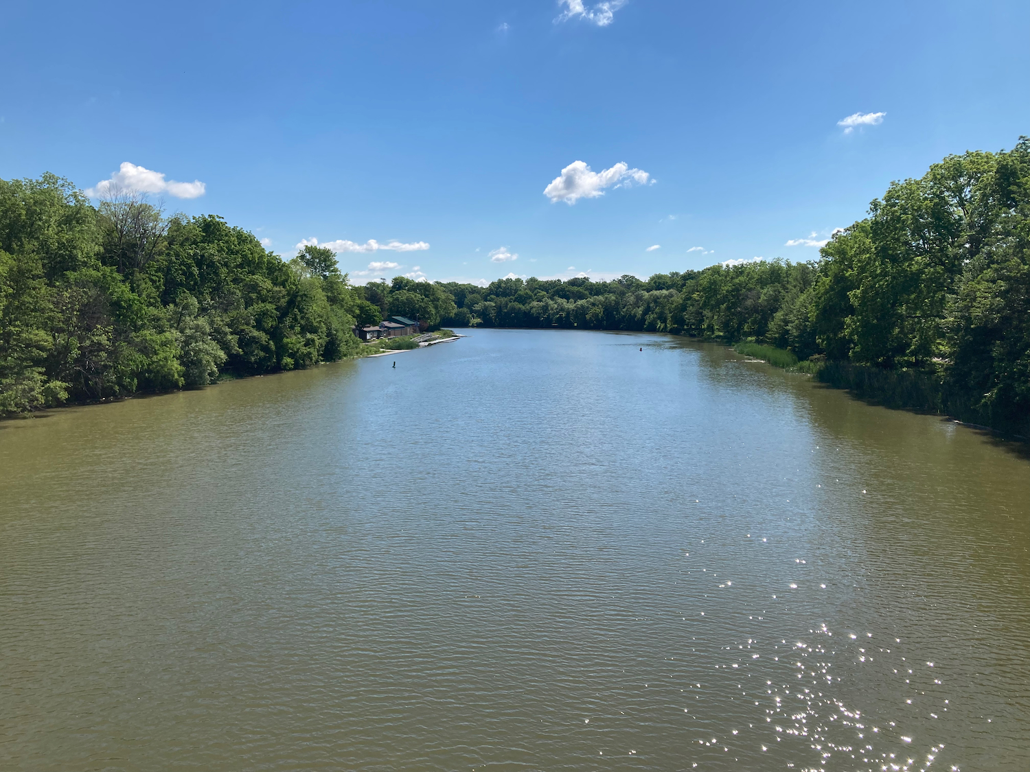
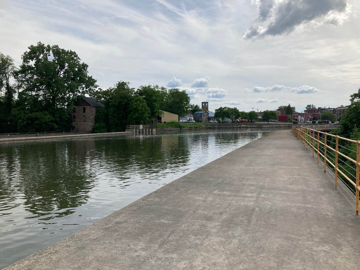
The fifth day of my trip was the last one involving riding the Canalway Trail. After getting breakfast at my hotel, I rode north and a bit west, making my way back to the canal and the trail. I passed through a bit of Rochester once I was on the trail, crossing the Genesee River just after resuming the trail (click to see full size photos):

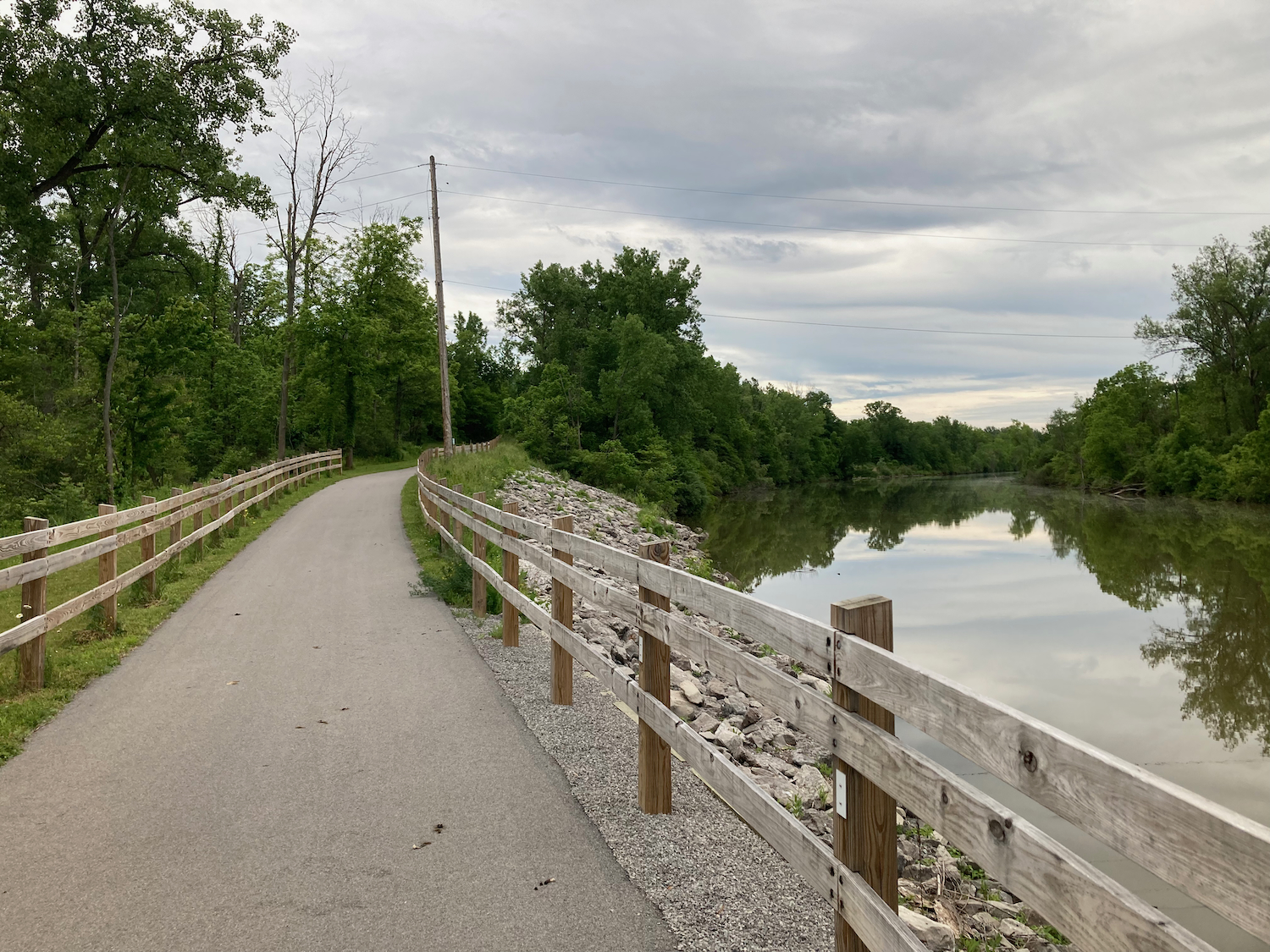
The trail was paved for several miles, but then became stone dust again (and that would be the surface I’d ride on most of the day). The unfortunate thing about the stone dust surface was that the underlying dirt was still damp from the previous day’s rain, so I sometimes could not get great traction. It slowed my pace by 2 or 3 miles per hour, for sure, compared to riding on asphalt.
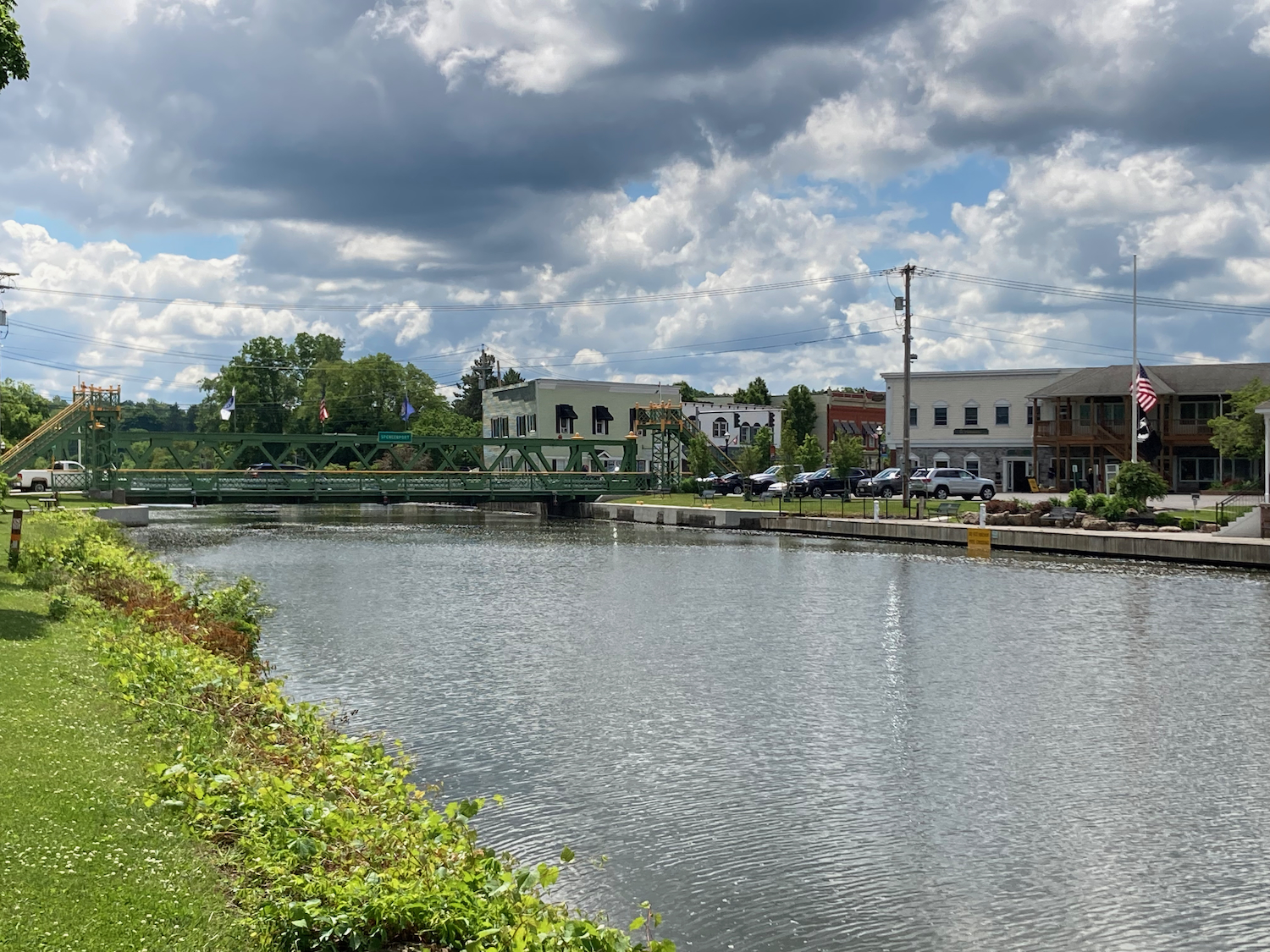
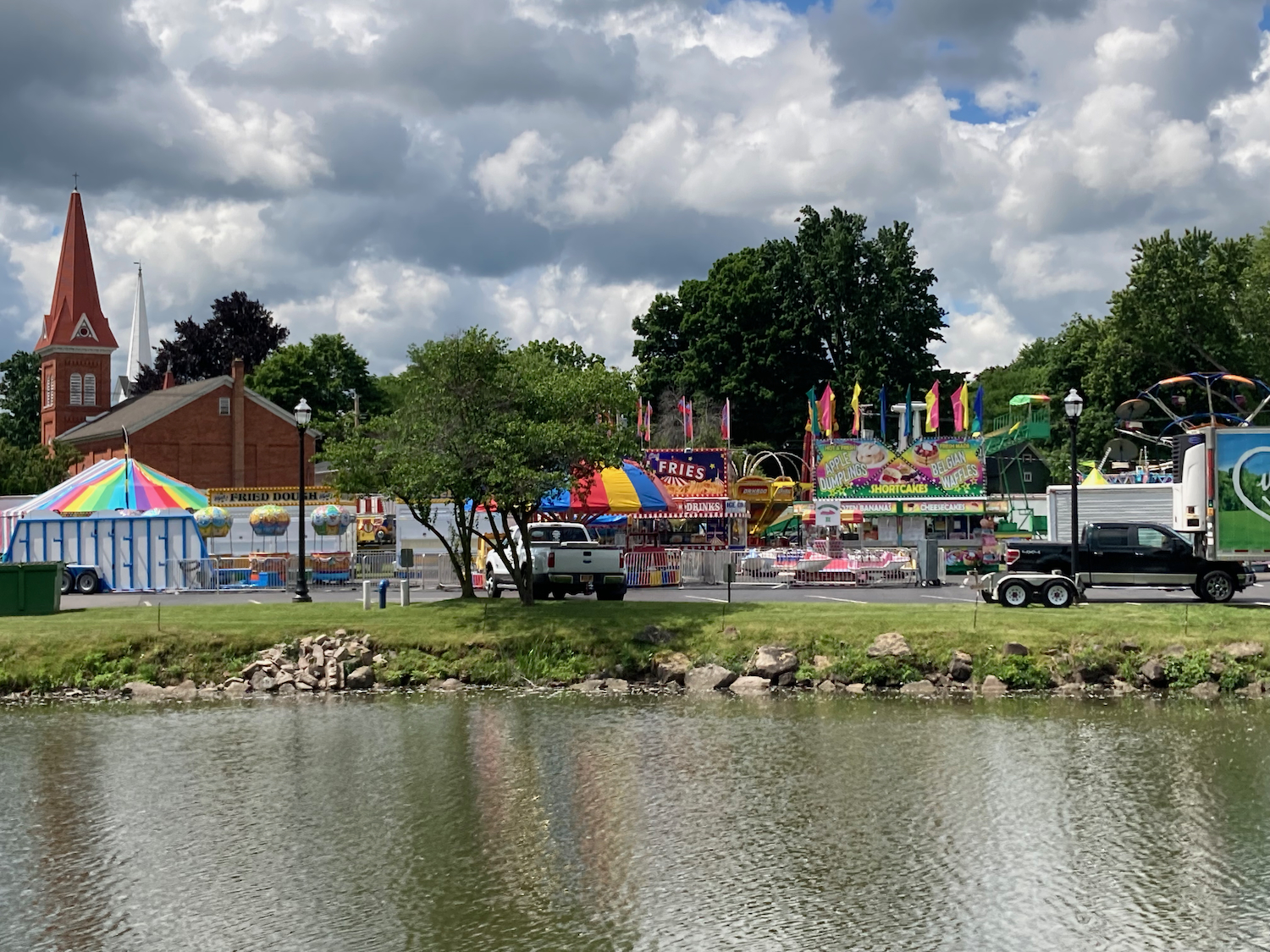
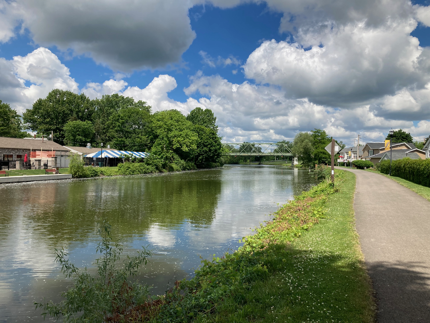
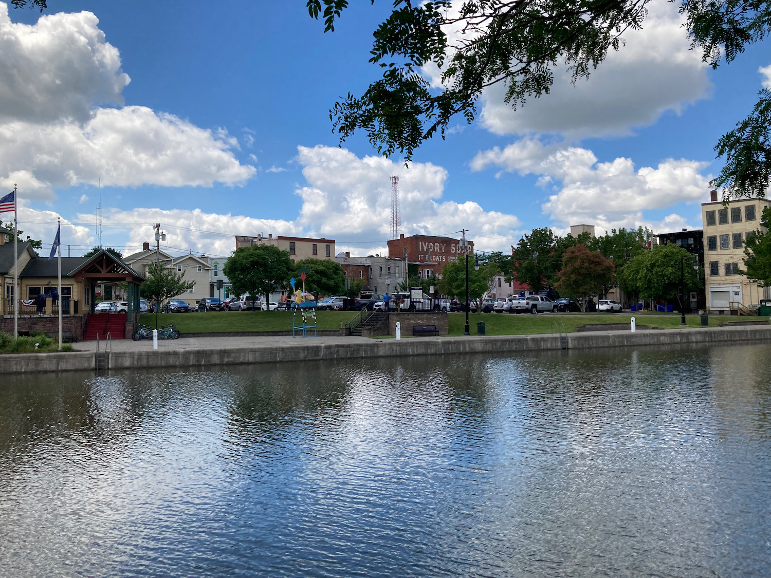
West of Rochester, the canal is still navigable, but it’s not as wide as many of the portions to the east, and it does not appear to have barge traffic in these sections, but instead there are a lot of private recreational boats that use the canal. There are small towns along the canal that have easy boat access to things, and seem centered around boating to some extent. Here’s one such town, Spencerport, where a carnival was set up:
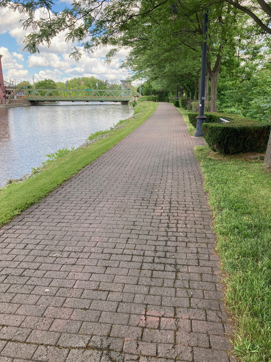
The next major town after that, Brockport, had a brick section of the trail:
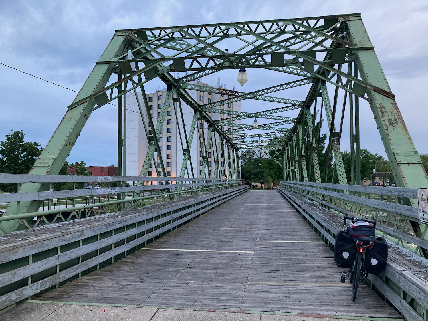
There are a number of bridges that cross the canal, and about an hour after passing through Brockport, I came to this one:
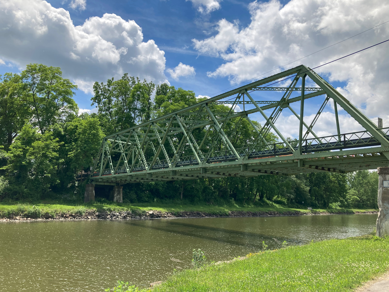
As it turns out, this one doesn’t go anywhere, though it surely used to:
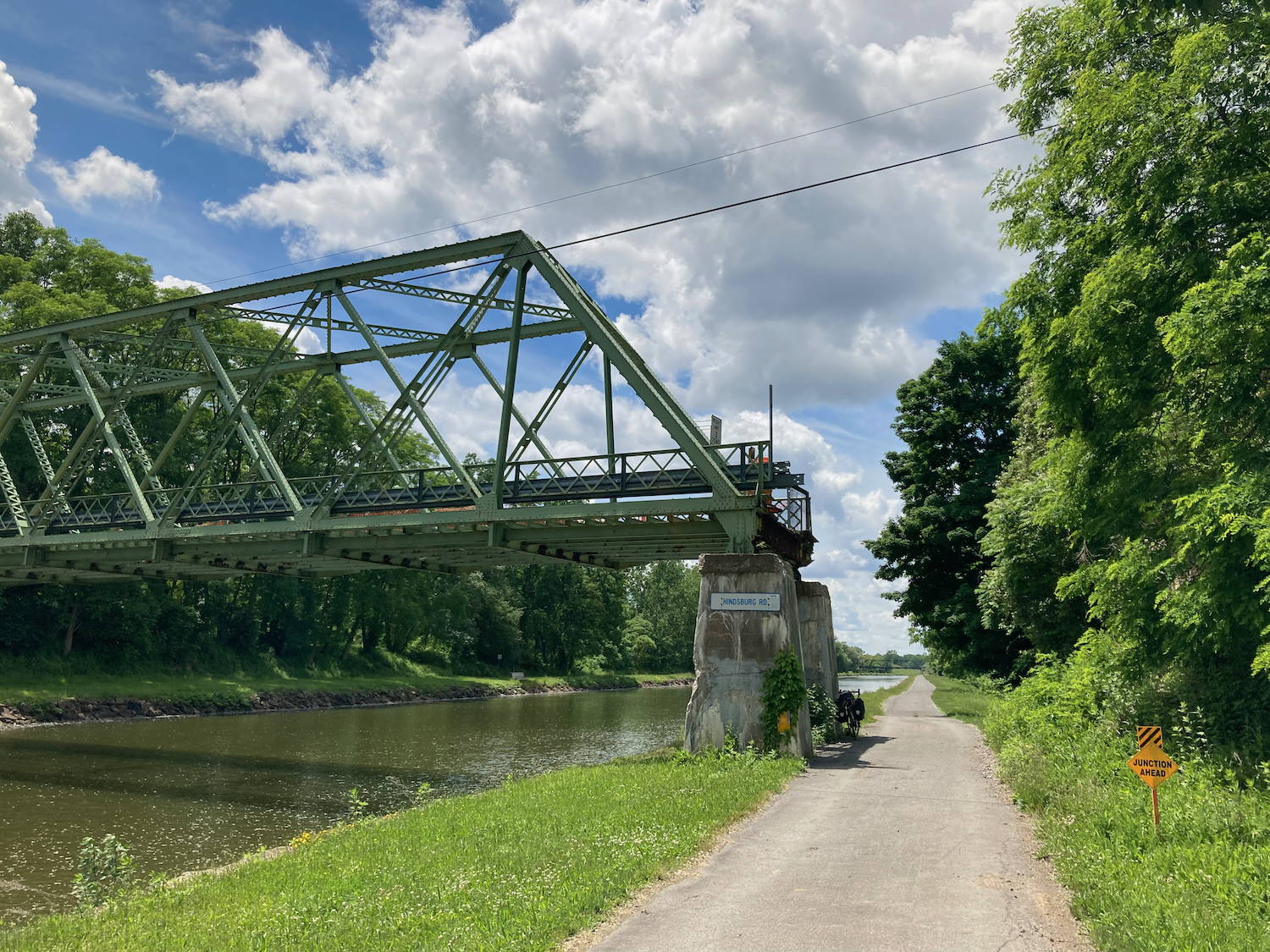
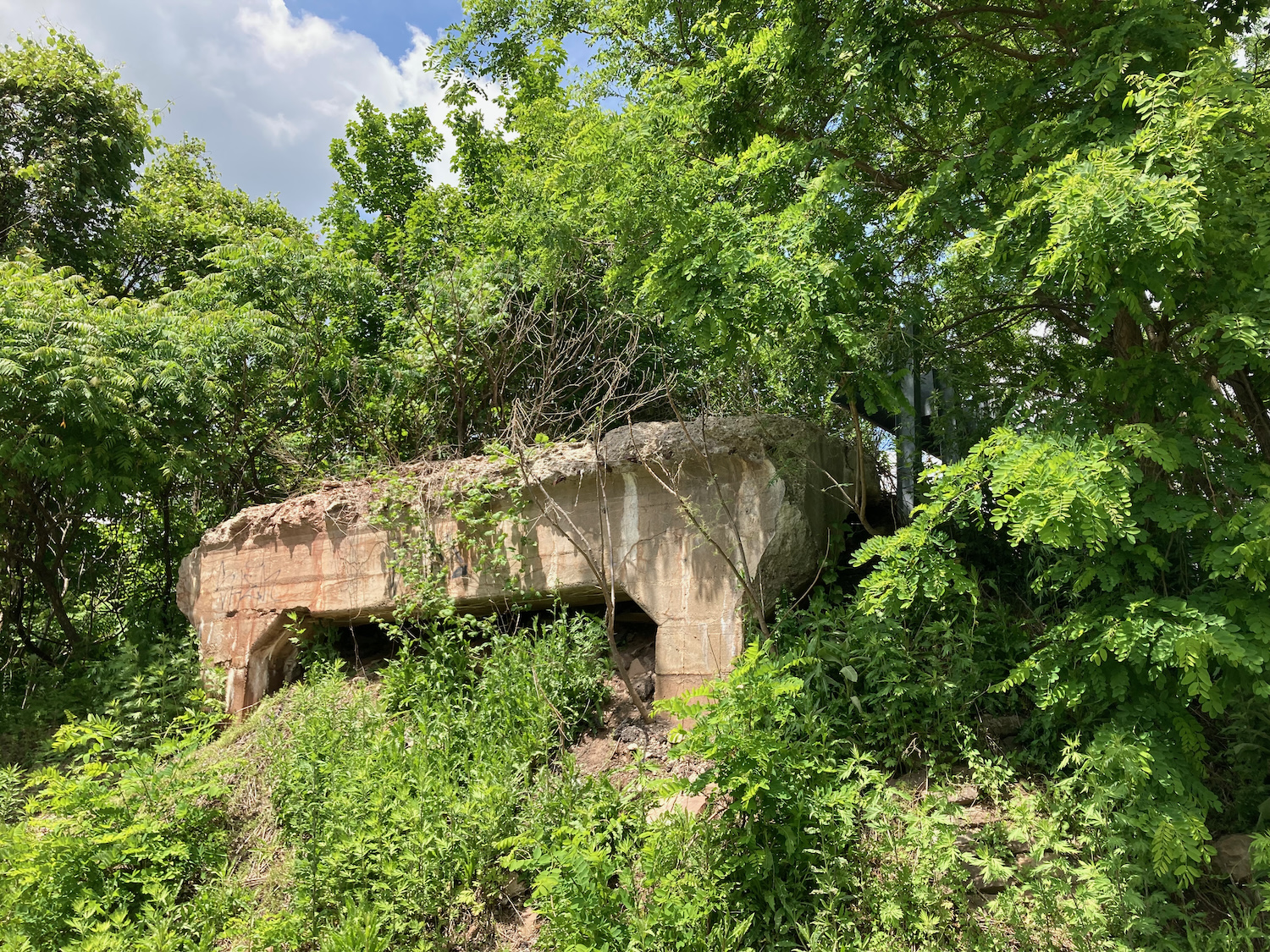
Here’s the abutment where it would have continued north:
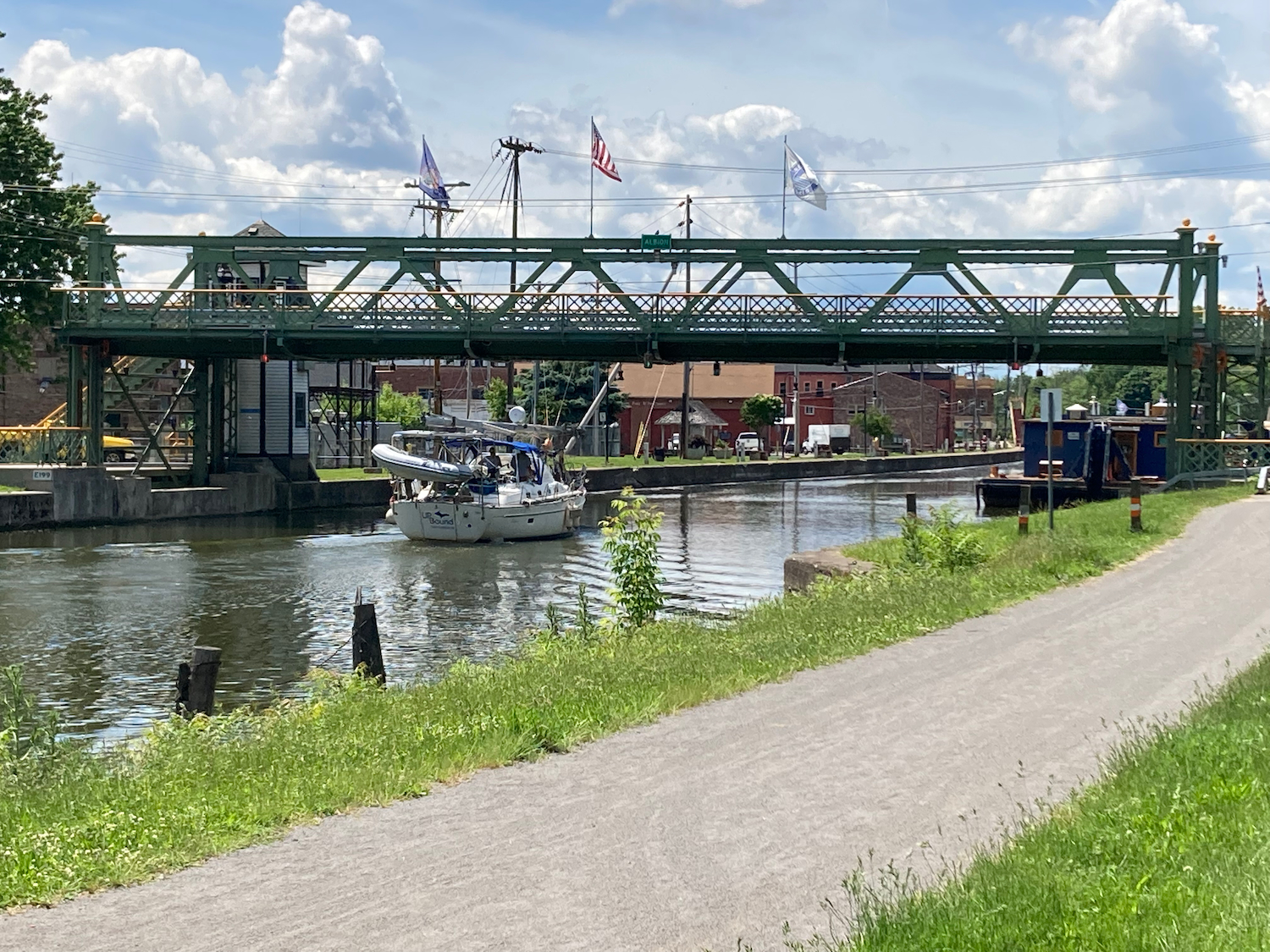
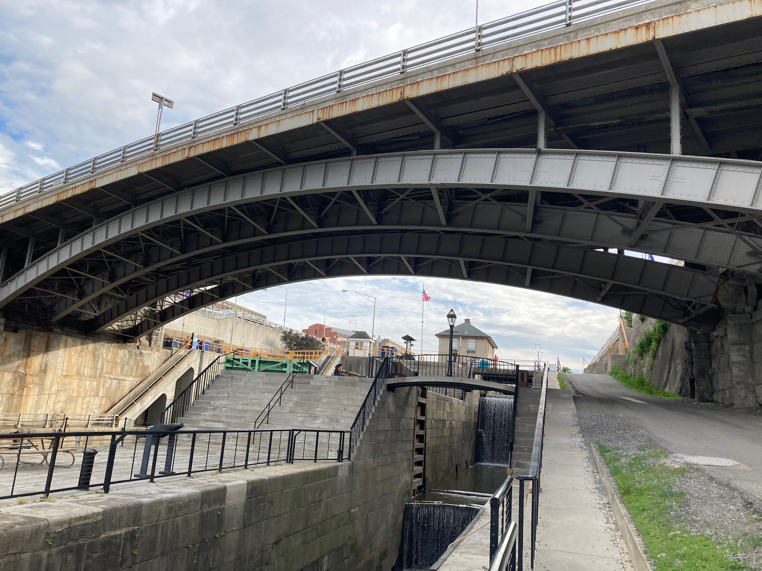
Some bridges over the water are low, and can be raised to allow boats to pass under. They aren’t generally drawbridges that angle upward, but the bridge deck just rises several feet straight up. I got to see this a little ways further on in the town of Albion. Here’s a bridge there before rising:

And here it is in the upper position:
Albion is where I stopped to have lunch, getting food from a barbecue restaurant.
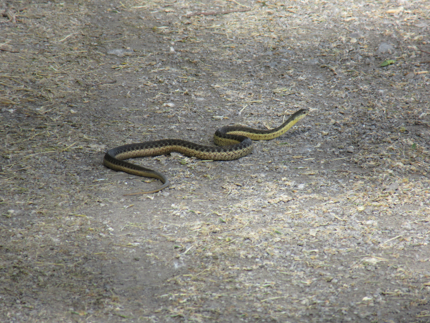
After lunch, a way later on the trail, I encountered this individual:
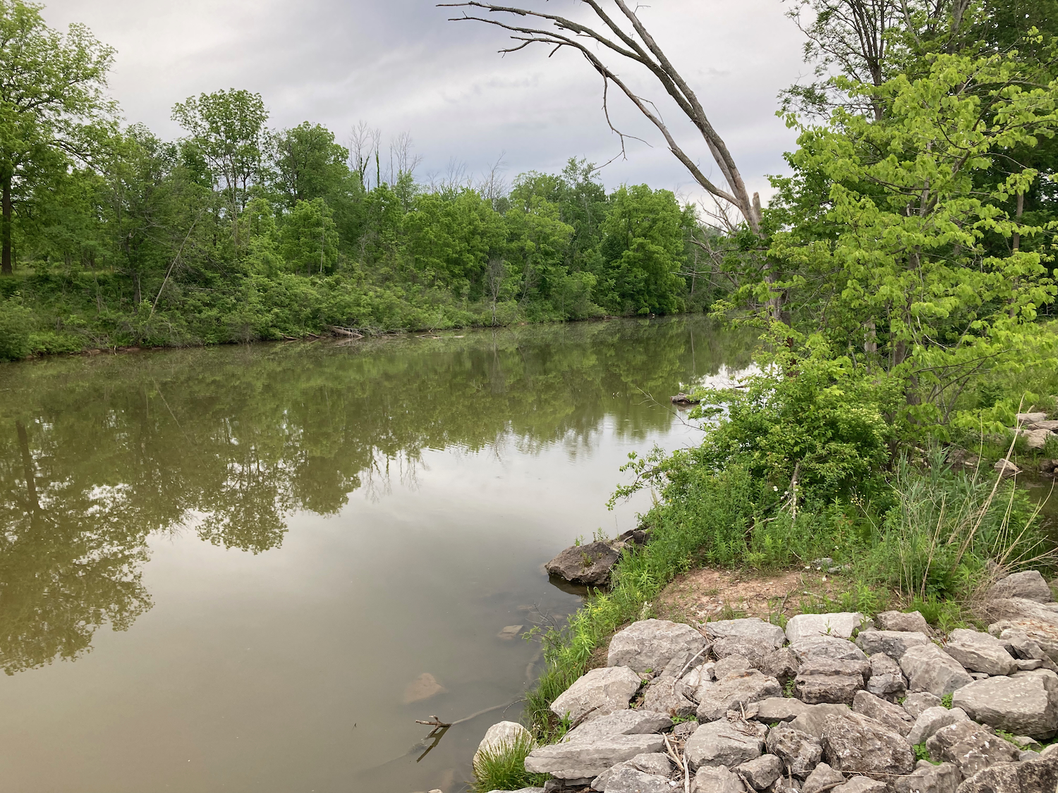
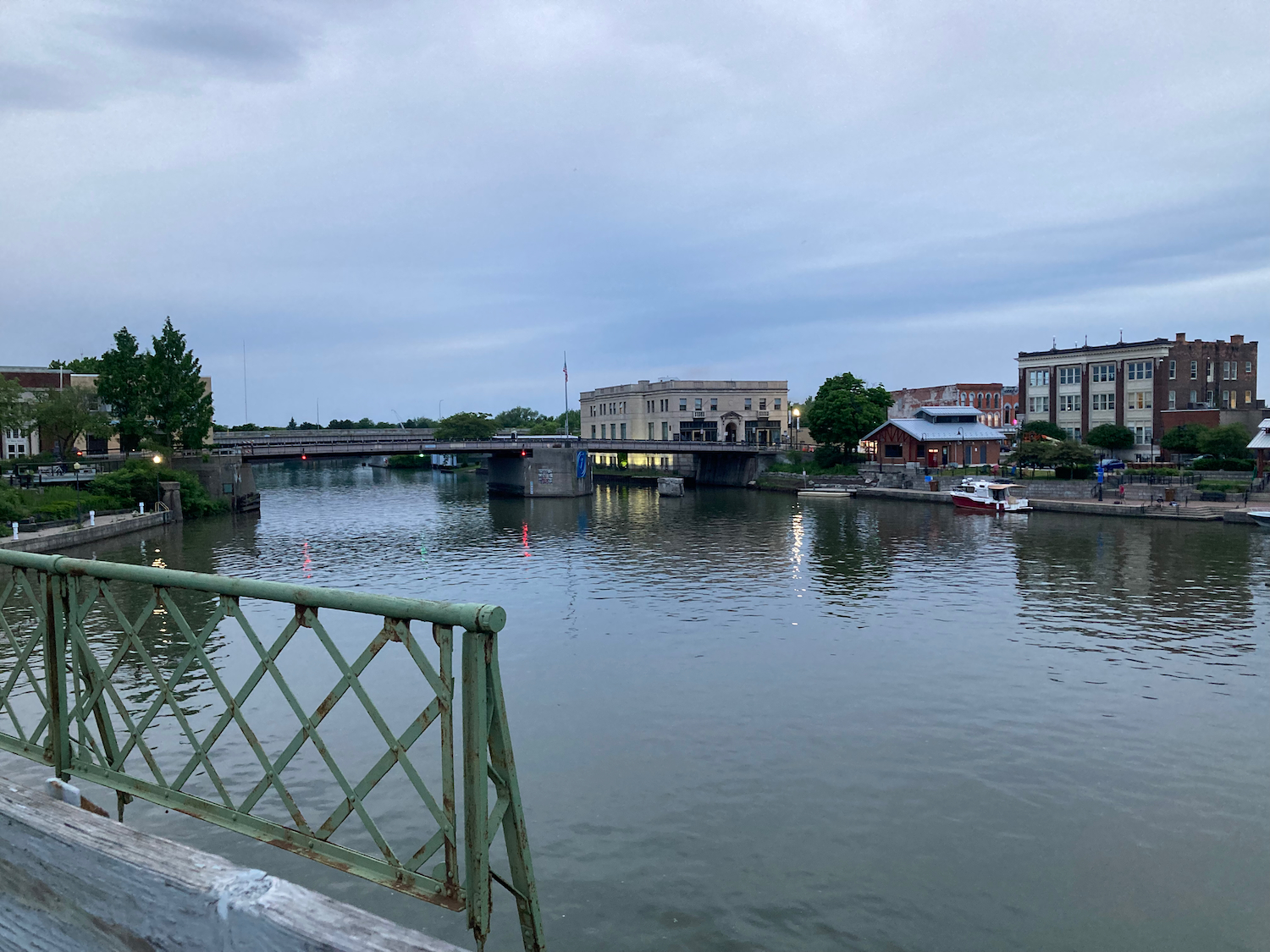
And soon after that, I came into Medina, NY, where the canal passes through an aqueduct over a river, right by some falls. Here’s the aqueduct:
And here is the view of the river (looking over the railing to the right of the previous photo):

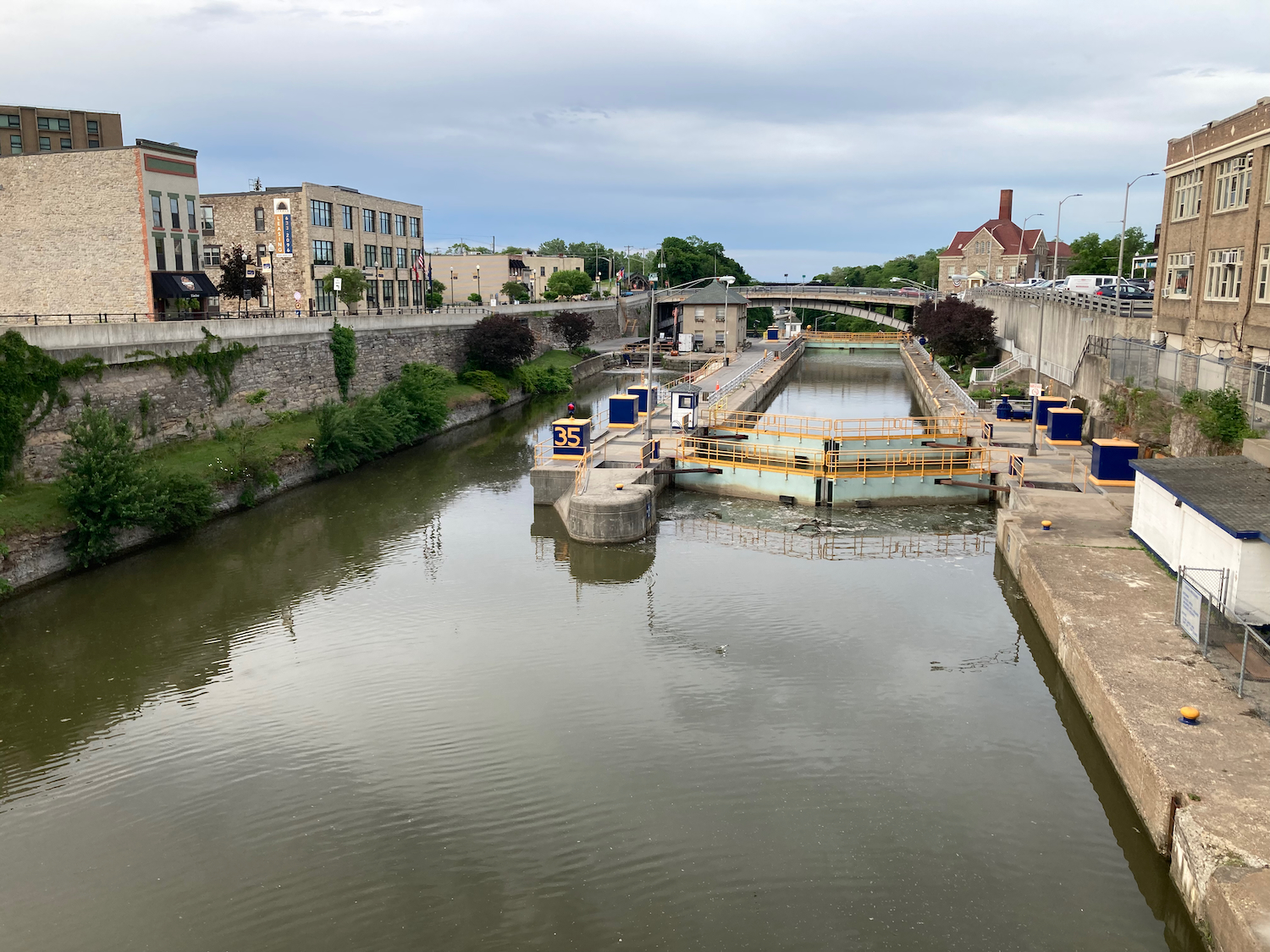
A bit after 6:00pm, I came to the city of Lockport, which is home to Lock 35 on the canal. The water level rises quite a bit at that lock, and I ended up walking my bike up the paved ramp that the trail led onto. Here’s a view back downhill to the east from partway up the hill:
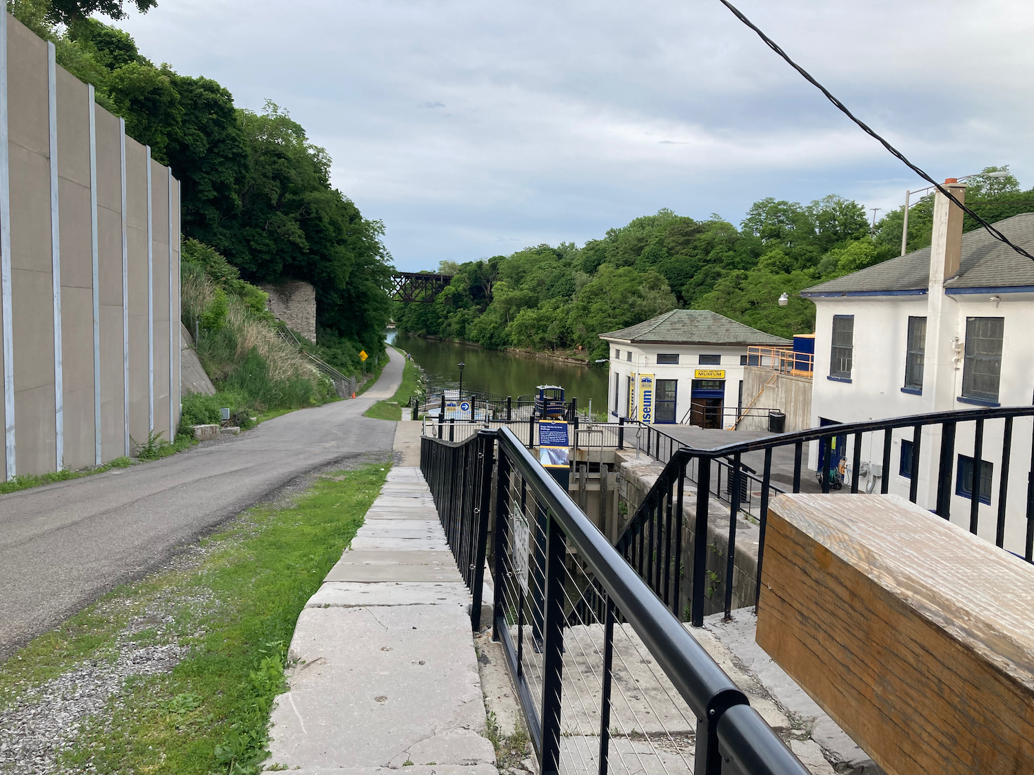
Some of the lock buildings:
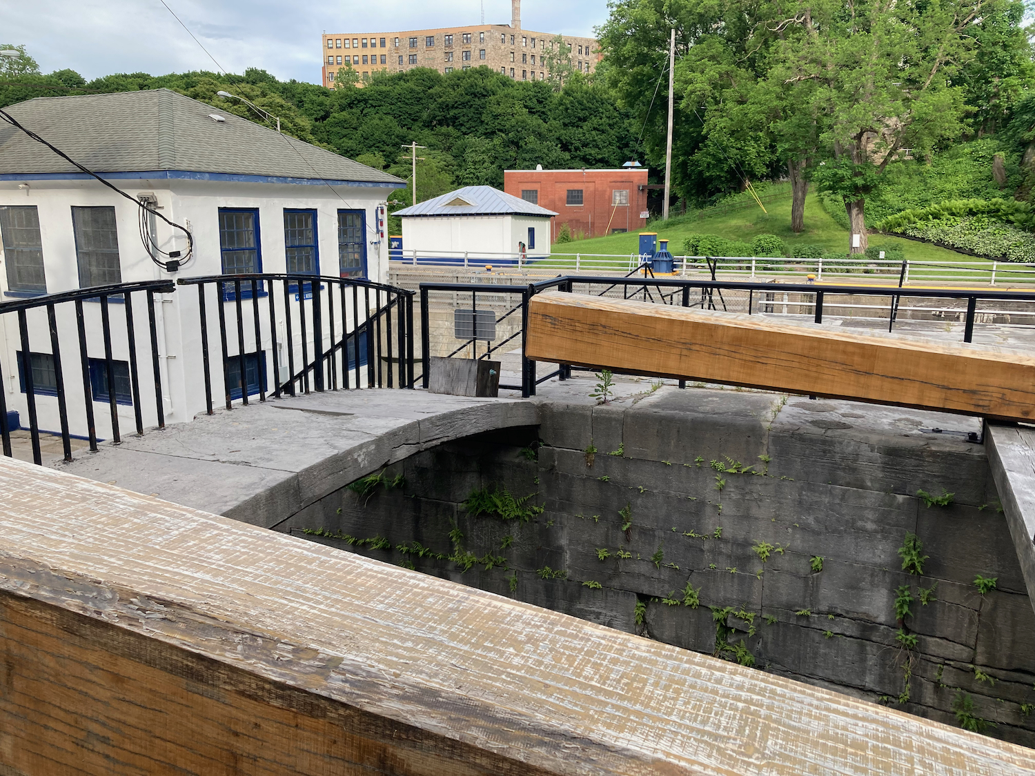
And the view uphill from that point, to the west:
Once I got to the top and went a little further, I was able to get a view of the upper portion of the lock (again, looking east):
I headed out of Lockport a little ways on streets, and then soon was able to get onto paved trail. From this point on, the trail would be all pavement, so I was able to make somewhat better time than on the softer surface.
The trail passed through the town of Pendleton, mostly not close to the water, but then it did get near the canal in a few places:
Not long after that, I headed into the city of Tonawanda, where there is a very pretty and busy riverfront. Here are some pics there, including a little bridge that took me over a tributary:
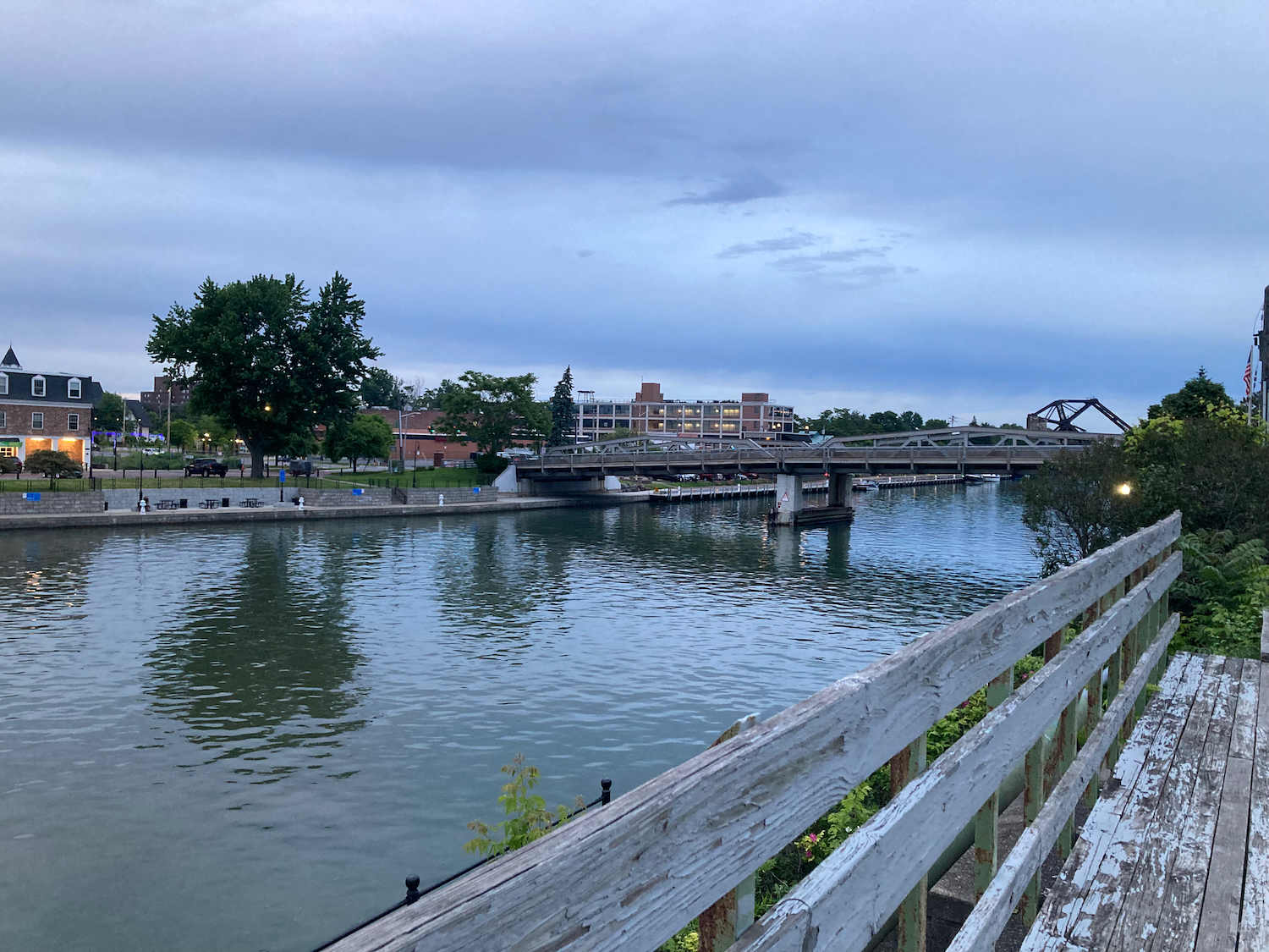

That is my bike in the last photo, in case anyone was wondering.
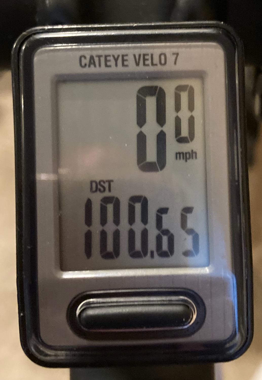
From there, the trail was a little difficult to find, so I wasted a little time finding it, but then was able to ride pretty quickly along the trail as it got dark, and made my way south into Buffalo. I got off the trail just before it would have gone to Unity Island, and then rode along bike lanes down the streets, before I turned onto side streets to get to my lodging. I got in later than I’d expected – at nearly 10:00pm, and had gone a full hundred miles. After a shower, I walked to a nearby grocery store to get a late dinner, as well as some food for the next day’s breakfast and lunch.
Next: getting home.