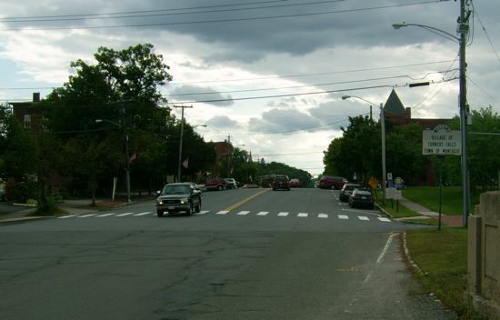
This past Sunday, I went for a longer ride than my previous few, up to the village of Turners Falls. It is not its own municipality – rather the village is part of the Town of Montague, which generally lies across the Connecticut River from Greenfield and Deerfield.
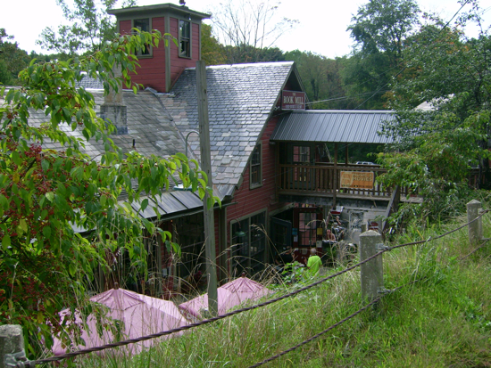
It was almost a straight North ride all the way, passing through parts of the towns of Amherst, Leverett, and Sunderland before entering Montague. I went through Montague center, and stopped off at the Book Mill, which I’ve written about before.
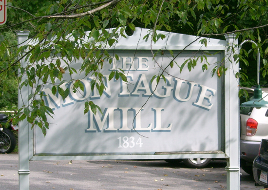
I browsed there for about half an hour (didn’t buy anything), and then continued toward Turners Falls.
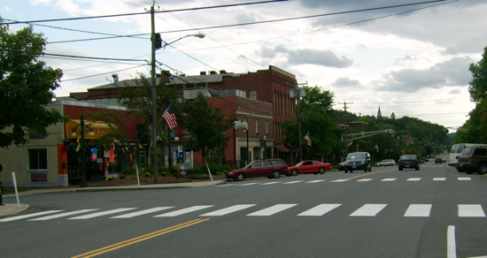
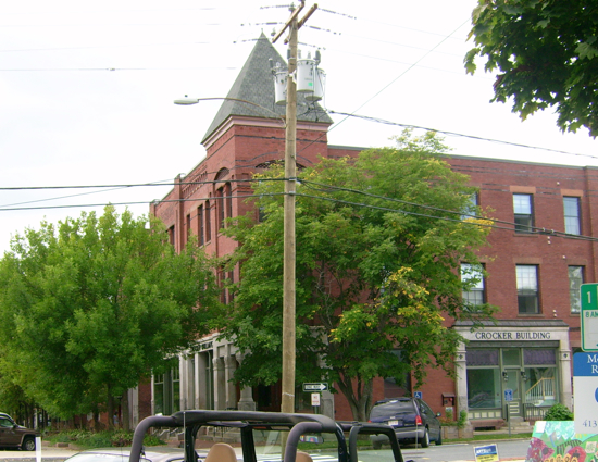
There was a bit of hill climbing to do on the way North, and then the road descended quite a ways into downtown T.F. The main drag through town is called Avenue A, and it looks something like this:
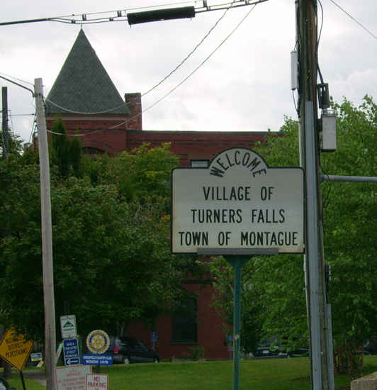
This sign greets visitors coming Southwest over the river from the Town of Gill:
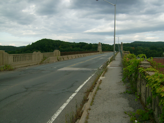
Here is the bridge to Gill:
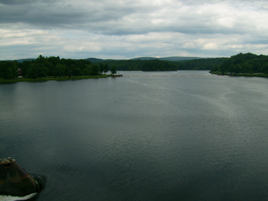
The view upriver from that bridge:
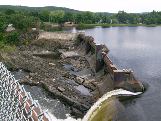
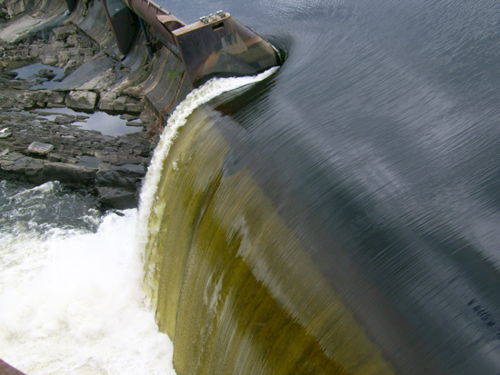
Here is the dam on that side of the bridge:
Here’s the downriver view on the other side of the bridge (and the dam):
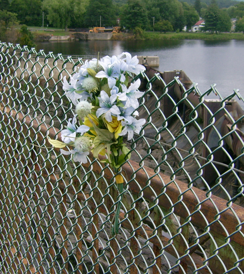
On the bridge I saw these flowers:
Perhaps someone fell or jumped from that spot.
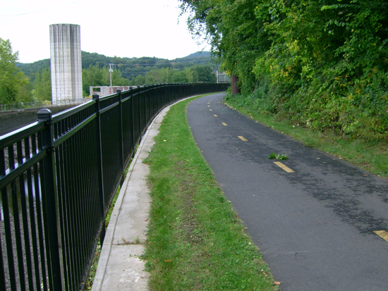
There is a canal that comes off of the river and parallels it for a while. Along that canal is a bike path:
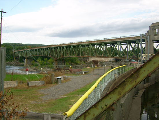
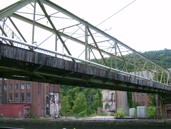
Here’s the bridge, seen from the path:
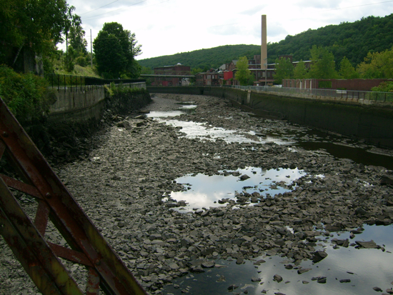
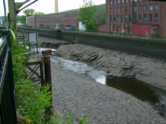
The canal, with not much water in it:
Further down it has more of a flow:
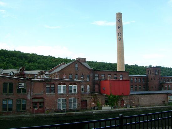
Across the canal are old factories/mills, beyond which is the river proper, and then a ridgeline:
A walkway crossing the canal:
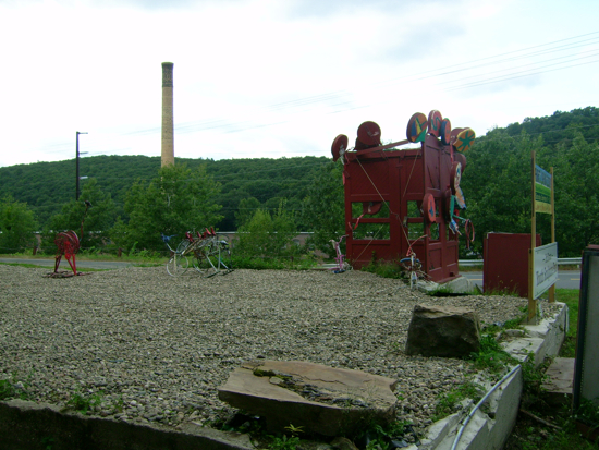
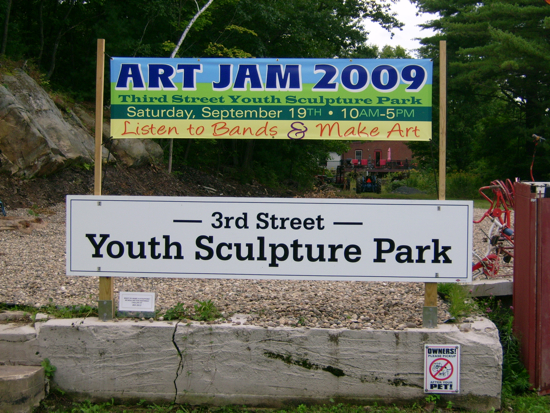
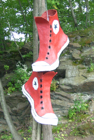
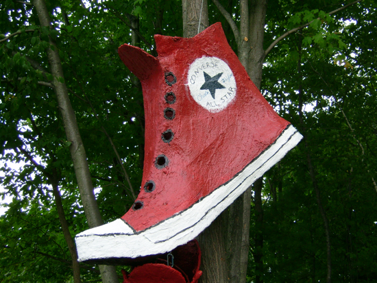
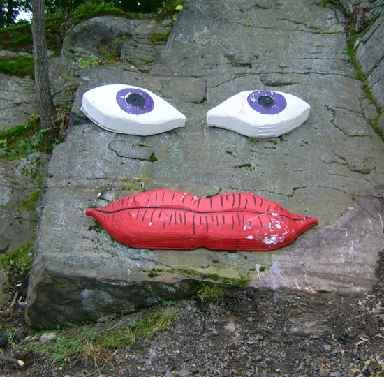
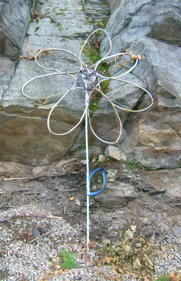
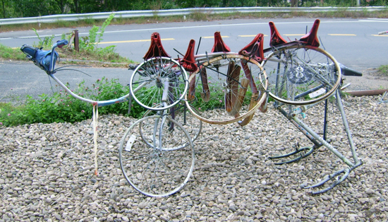
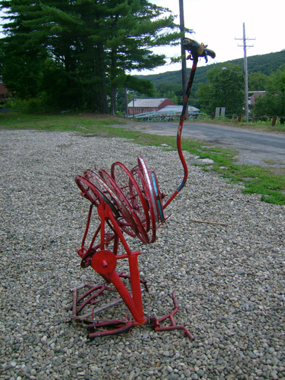
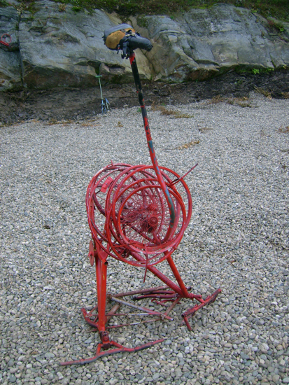
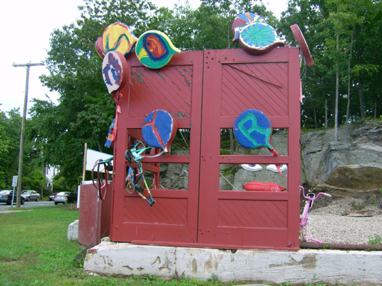
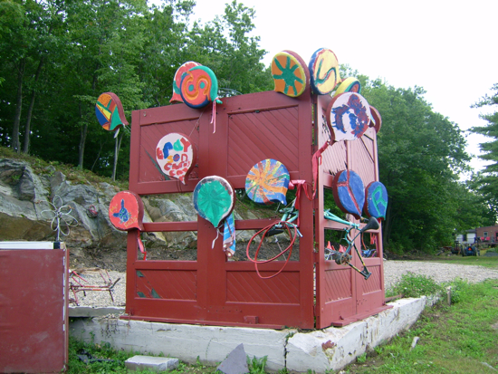
Just outside of downtown, I ran across a sculpture park that I had not known about. It has many things made of old bike parts, as well as some other items:
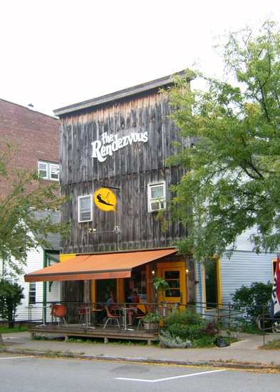
After riding around a bit more, I stopped in at the Rendezvous for some food:
I had a delicious cheese plate and a virgin mojito (lime and mint are a wonderful combo when you’re thirsty).
From there I rode the bike trail to the West, and followed it across an old train bridge into Deerfield:
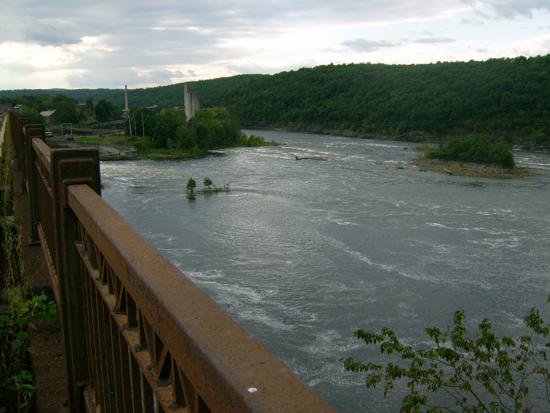
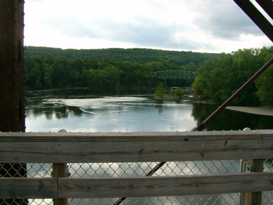
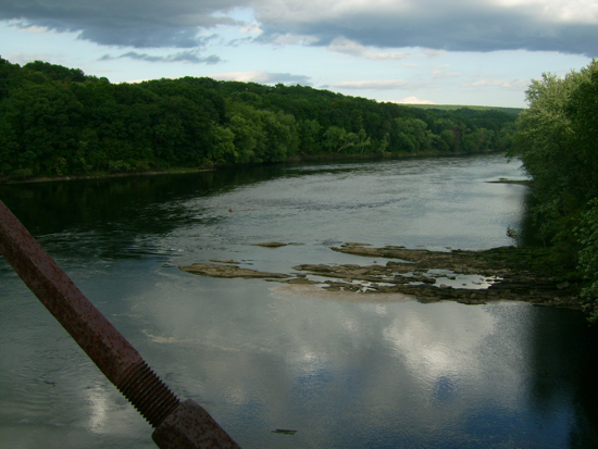
Here’s the view from that bridge North, looking at the confluence of the Deerfield River with the Connecticut (and the car bridge into Greenfield):
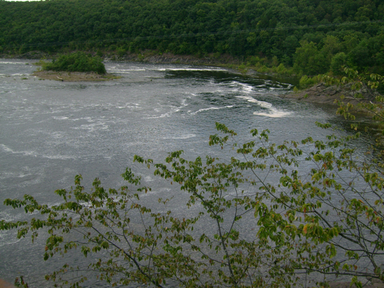
This is South (down the Connecticut):
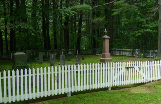
I didn’t have time to explore the West side of the river, so I came back across, and headed back down to the bookmill and toward home the way I came. Somewhere in Leverett, I believe, I came across this little fenced-in cemetery:
I think it may be a family graveyard, as there seemed to be a house just behind it.
I made it home about 5.5 hours after starting out, feeling pretty tired (and sore in the legs). Total distance: 46 miles.
Next: A Place with a Base


2 Comments;
Pingback: Sean’s Blog » Blog Archive » Training: Hidden in Plain Sight
Pingback: Sean's Blog » Blog Archive » Sodas and Waterfowl