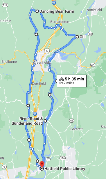
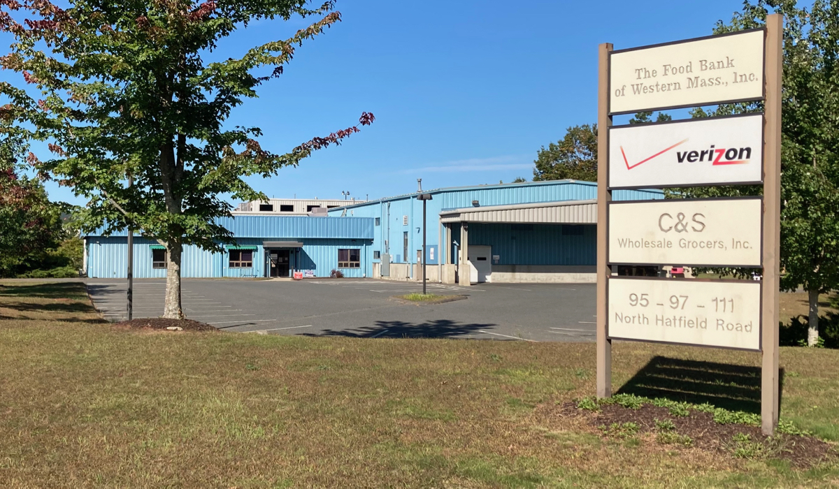
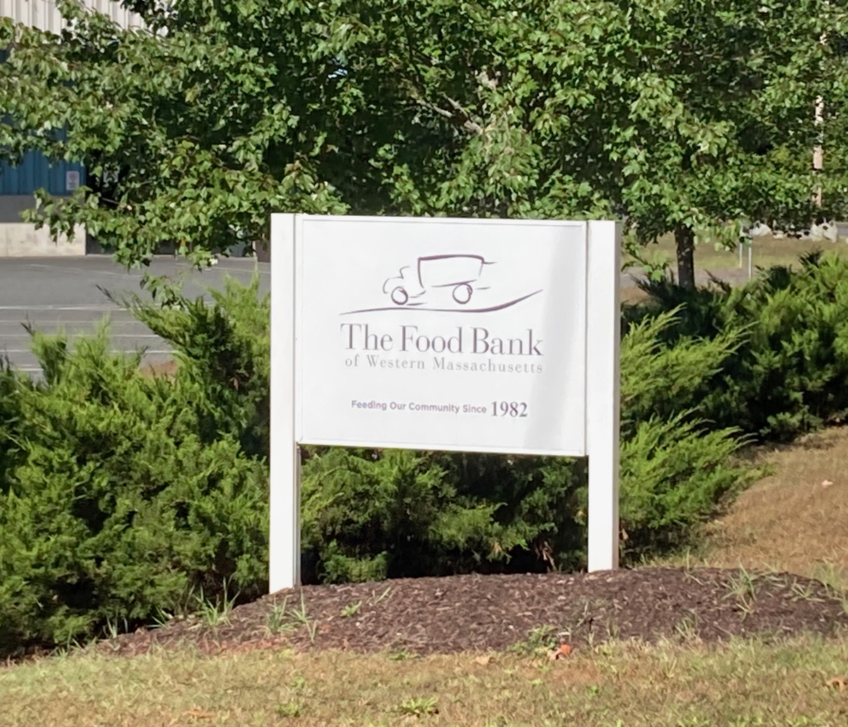
I did my sixth ride on Sunday the 20th, and this was another “drive someplace and then bike from there” occasion. I drove to the town of Hatfield, and parked near the Lions’ Club pavilion (behind the public library and a school), which is the location of Will Bike 4 Food in normal years. I headed a bit north on Main St., and then made my way northwest, which took me past the Food Bank itself. Here is their building and sign (click on photos to see larger versions):
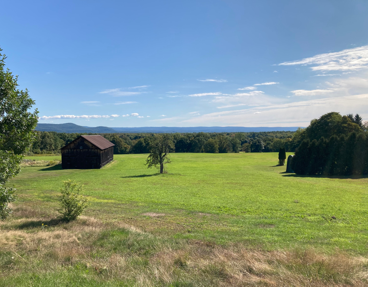
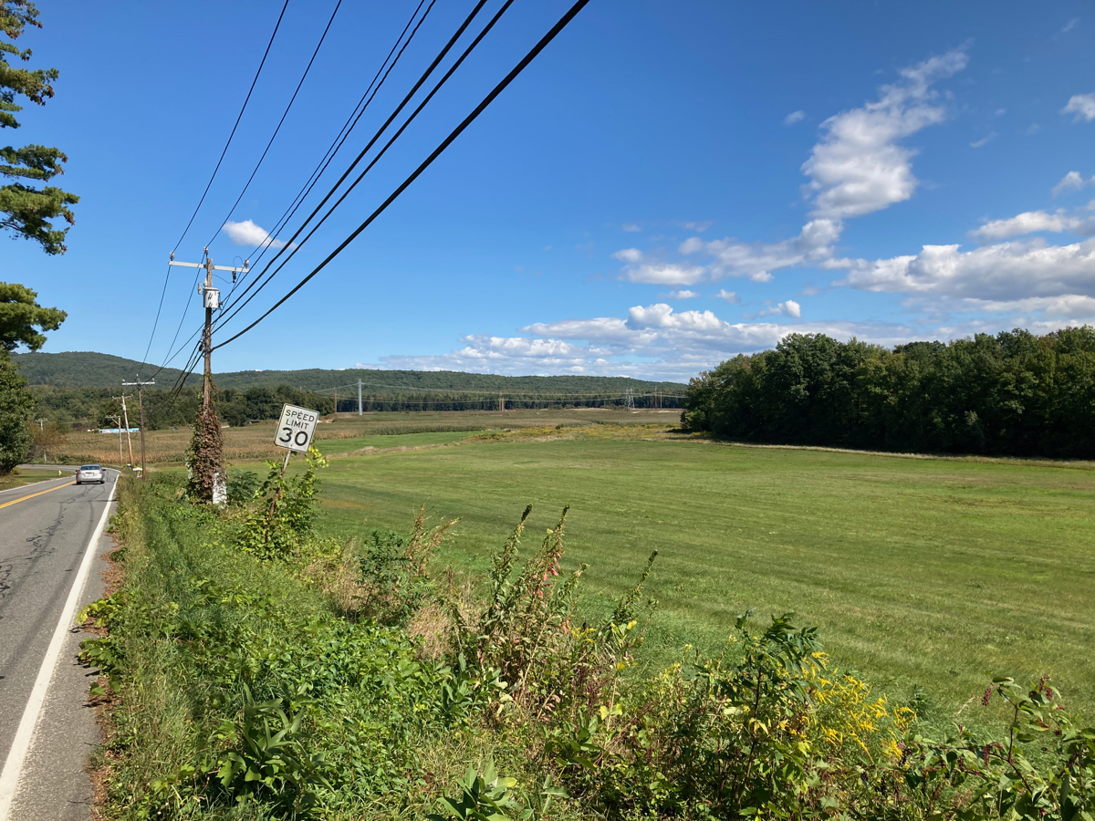
In the north part of town, I crossed over Routes 5 and 10, as well as I-91, and then headed due north into Whately. I passed through Whately center on the way north, and then through some open countryside. Here’s a view from a low hill near the town center:
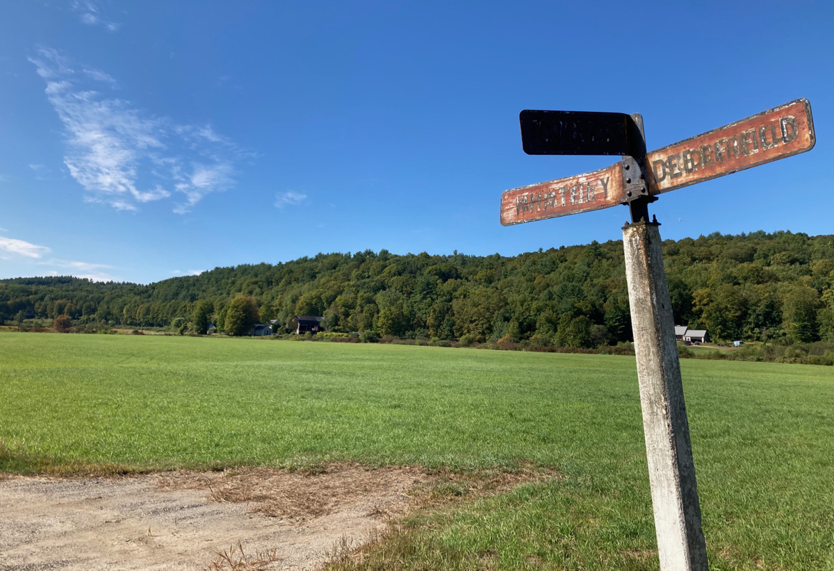
Some mild up and down riding brought me eventually into a plain where the road turned eastward, and I crossed the town line into Deerfield. Here’s the town line sign – rusty, as a lot of such signs seem to be:
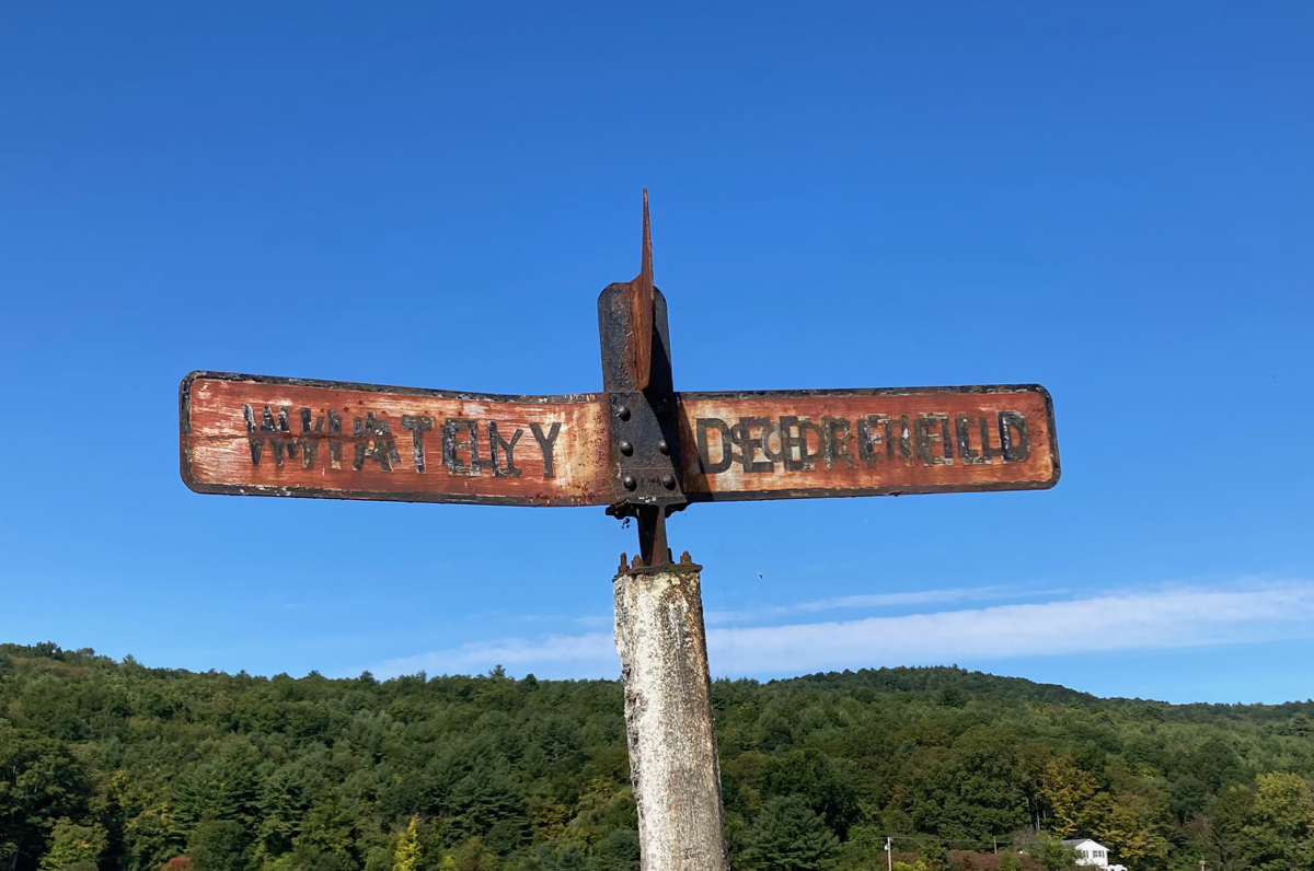
It also looks like the letters on both sides were reapplied at some point, in a different size than the previous version. Here’s the view of the plain and nearby hills to the west of the sign:
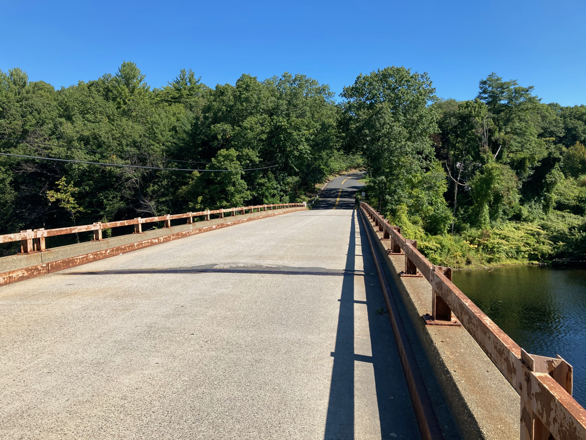
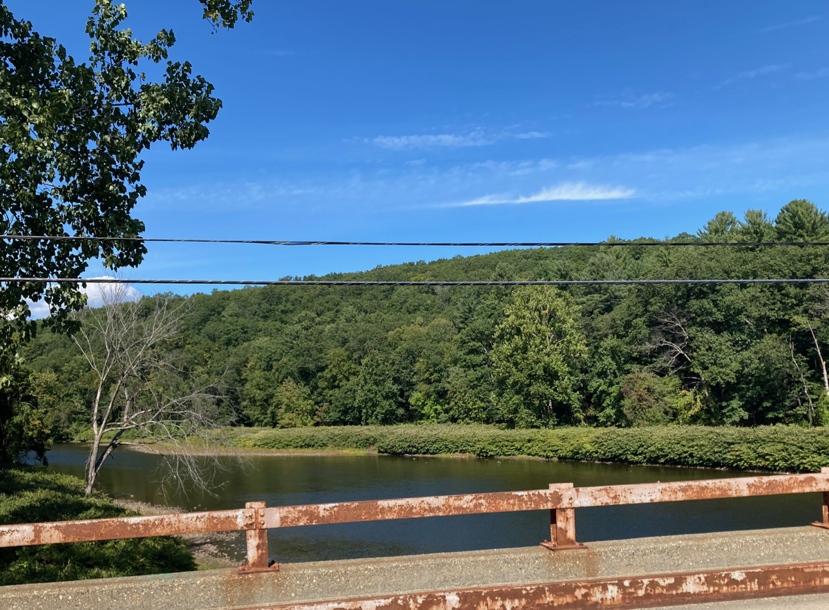
I soon turned north again, and crossed over Route 116. I went north on Stillwater Road, which brought me to Upper Road, where I crossed the Deerfield River on this bridge:
Here are views of the river on both sides:
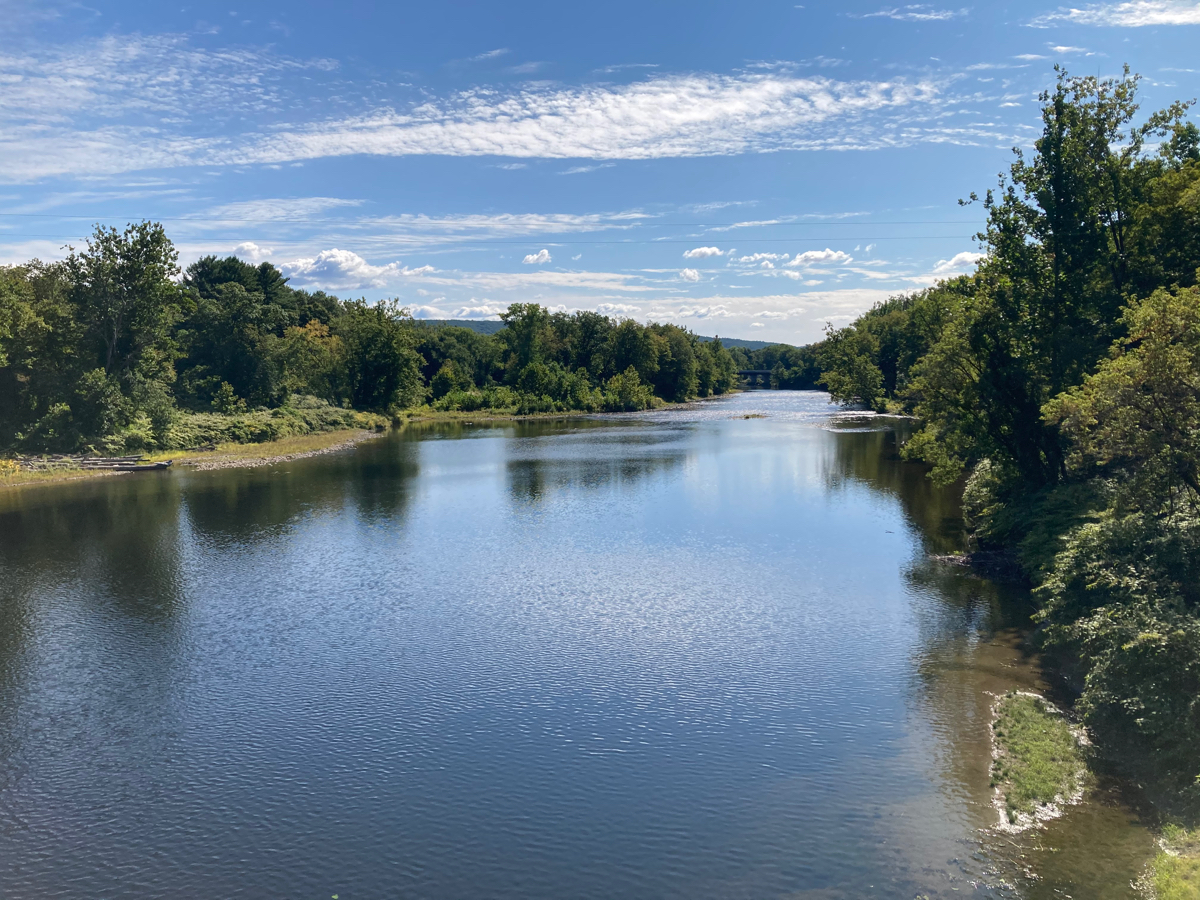
That second photo looks downriver to the east, and if you look closely you can just make out a bridge in the distance, which is where Interstate 91 crosses the river.
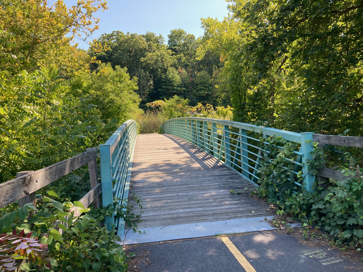
Once I was over the river, Upper Road began to climb (it is called “Upper” because there is a parallel road called “Lower Road” which does not climb as much). Fortunately it’s mostly gradual, and the climbing is spread out with some level stretches. After getting to the top, the road entered the city of Greenfield, where I skirted around the interchange between 91 and Route 2, and continued north. This included getting on the short recreation trail which follows the Green River. At the north end of that trail, there is a little bridge taking the trail over the river. Here’s the bridge itself:
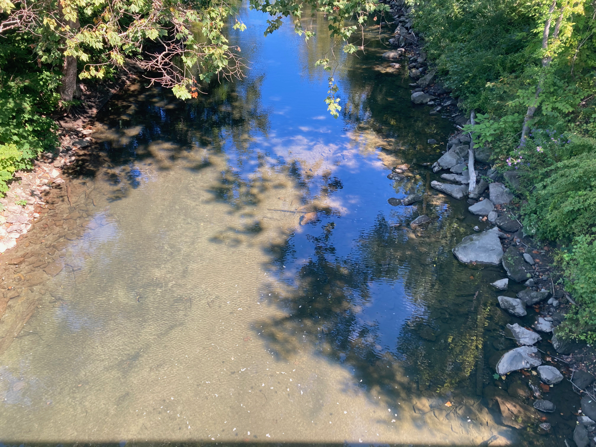
Here’s the river below the bridge – it’s pretty shallow:
After getting off the trail, I went further north on Leyden Road. In the north of Greenfield, that road had some gentle hills, and here’s the view from one of them:
Not long after that, I passed into the town of Leyden, and then the road started climbing for real. Most of the uphill riding I did on this trip was in Leyden. Unfortunately, there were no spectacular views available on the Leyden hills – I was always too far from an edge and there were houses and trees between me and any good place to lookout. Here, though, is a view looking back the way I’d come, at the road descending:
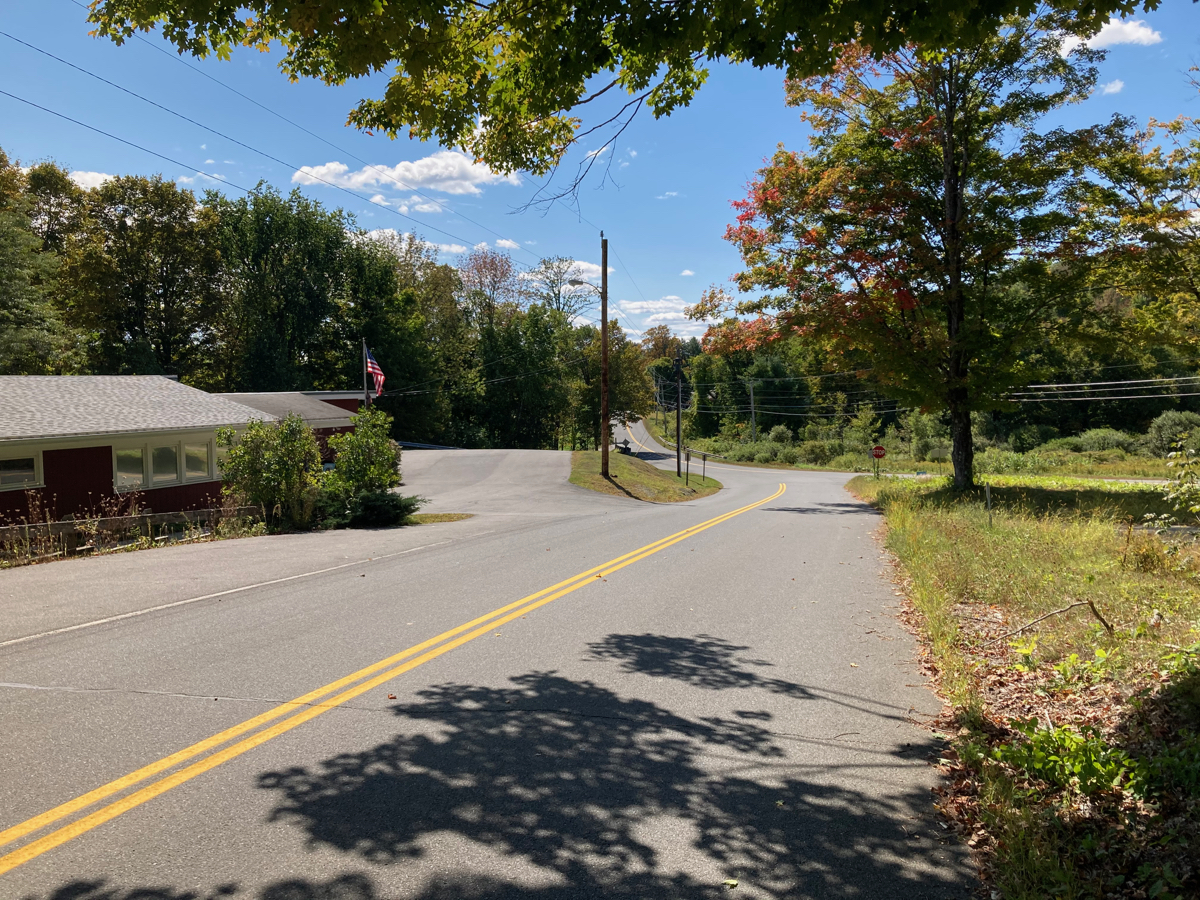
The building to the left is the Leyden town offices, though this is not the actual town center.
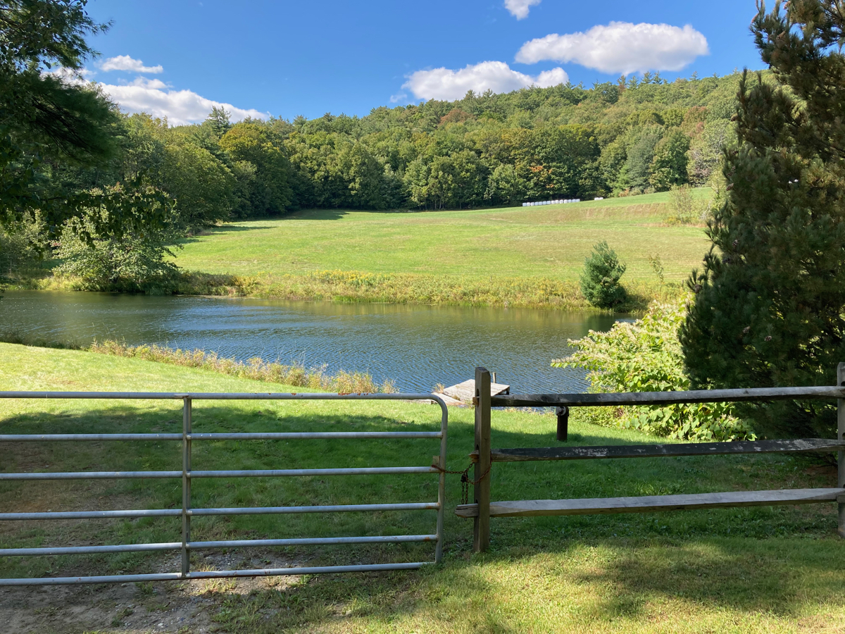
The last of the climbing, which was also the steepest climbing of the day, came soon after that, when I had turned east, on Frizzle Hill Rd. I had to stop and rest three times getting up that last hill. Once over the summit, I began my big descent, heading further east as well as south into the town of Bernardston, on a road called Eden Trail. On a more gradual portion of the road, I stopped to photograph this pond, which I believe is called Eden Pond:
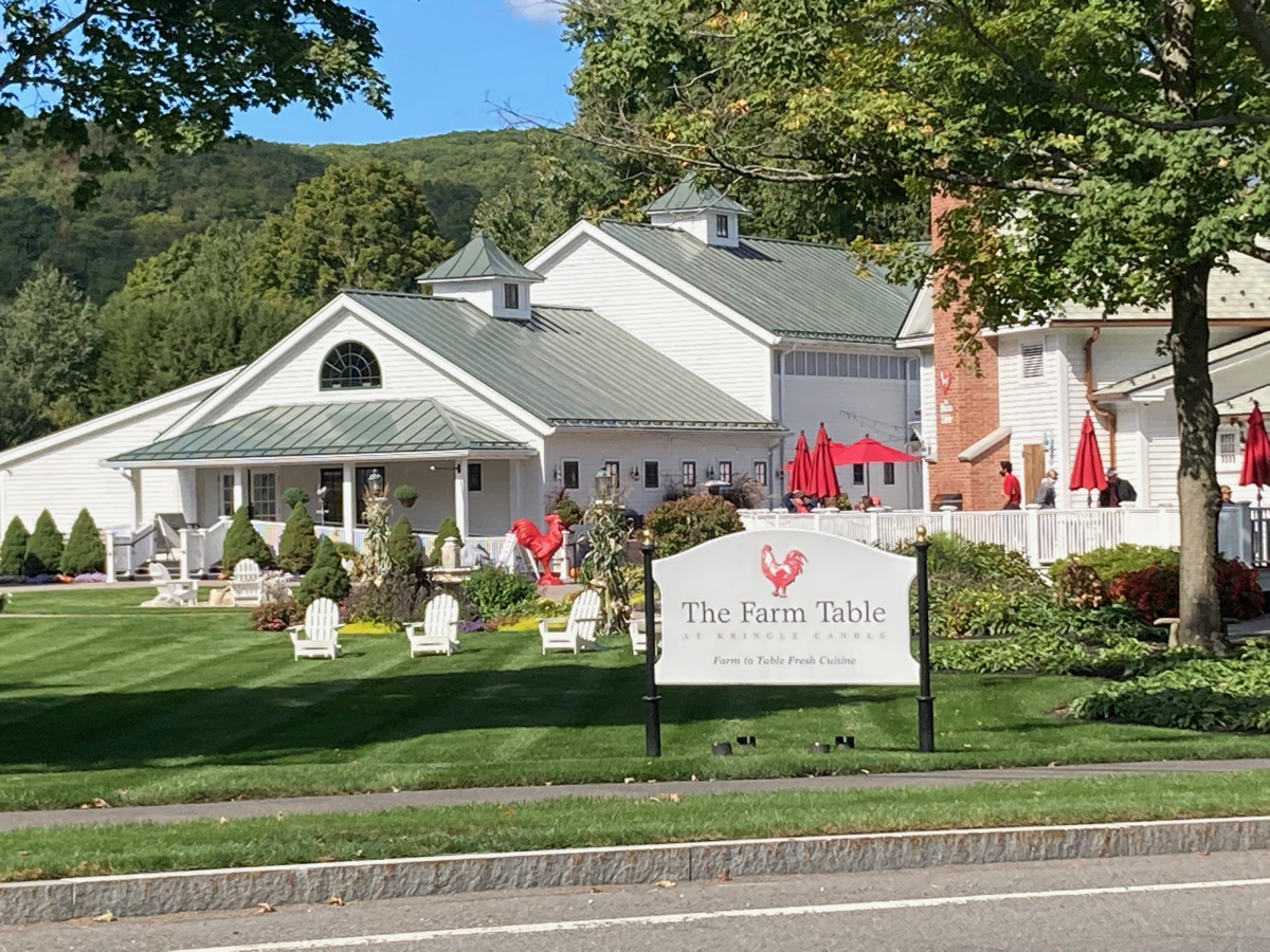
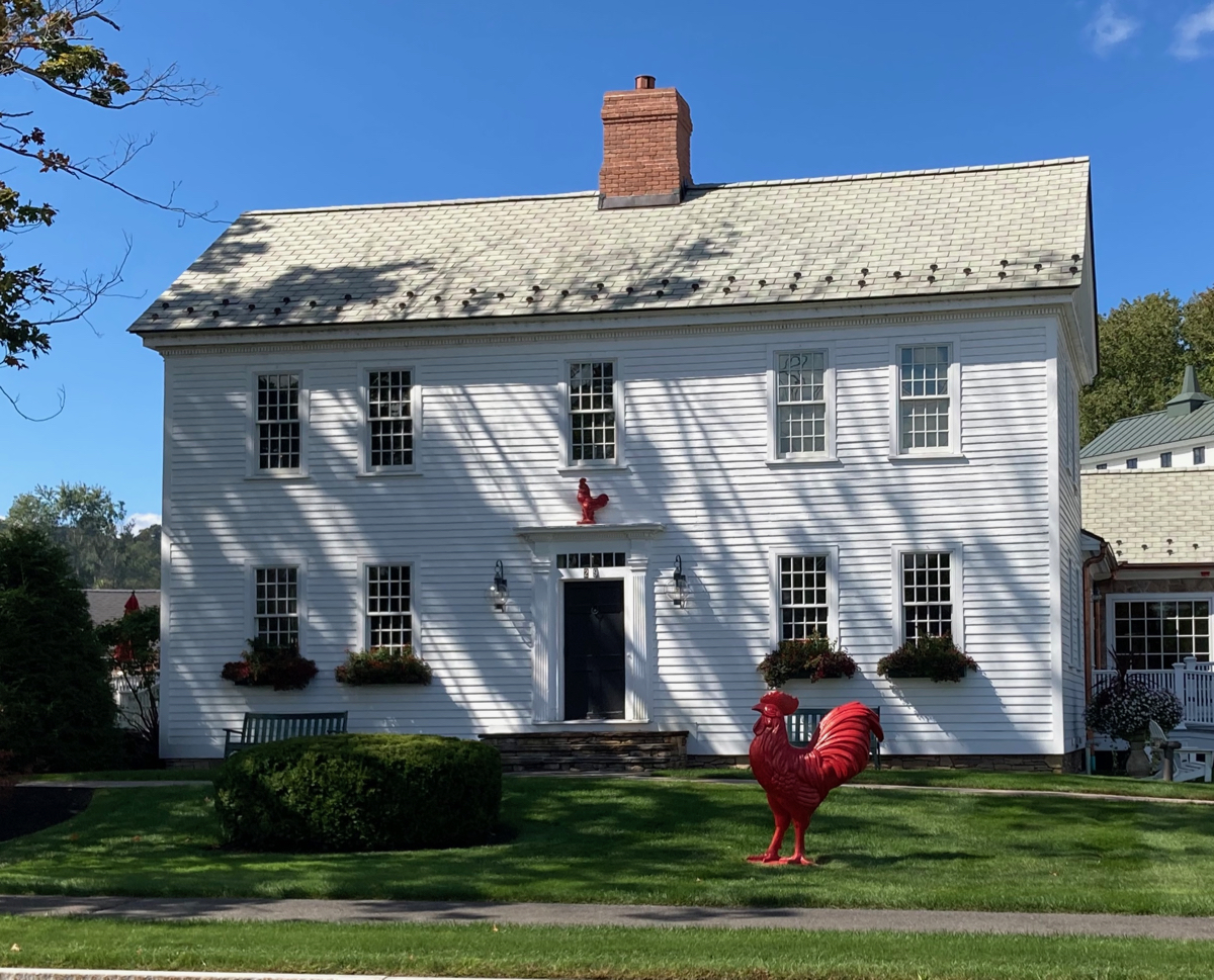
Once I got to the bottom, I headed east to Routes 5/10, where one finds rooster statues:
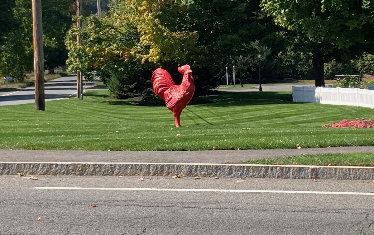
These are located at the headquarters of Kringle Candle, and that red rooster is the logo of the restaurant there:
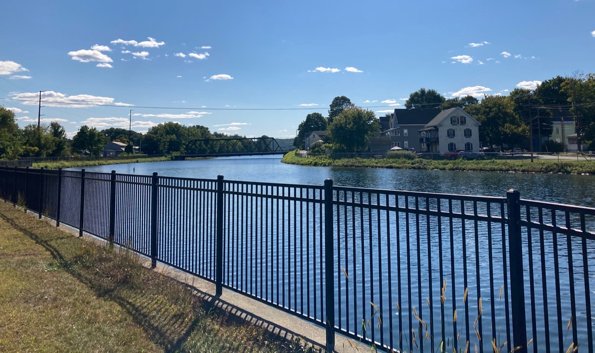
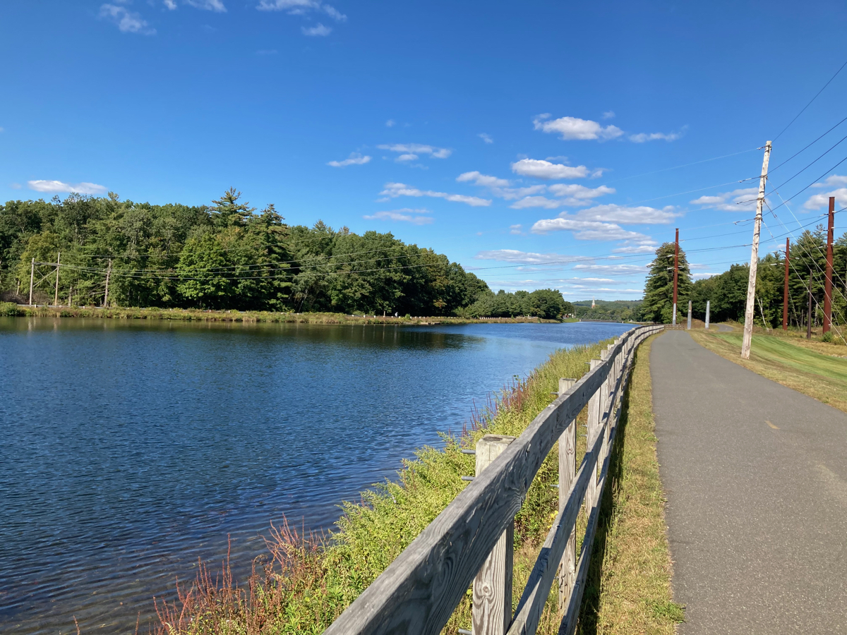
I went just a bit north of there, and then headed further east, then south, and got onto a dirt road for a bit, passing into the town of Gill as I hit dirt. It was only half a mile or so of dirt road, and it was in good shape – no loose gravel or sand to give me a hard time, and no potholes to speak of. Mostly the road was paved as I headed to Gill center, where I got onto Main Road, and headed southwest. I went uphill for a little while, then downhill a bunch down to Route 2. I crossed 2 and immediately rode across the Connecticut River into Turners Falls (which is part of the town of Montague). I got on the Canalside Trail there, and followed it southwest. Here’s a view of the canal:
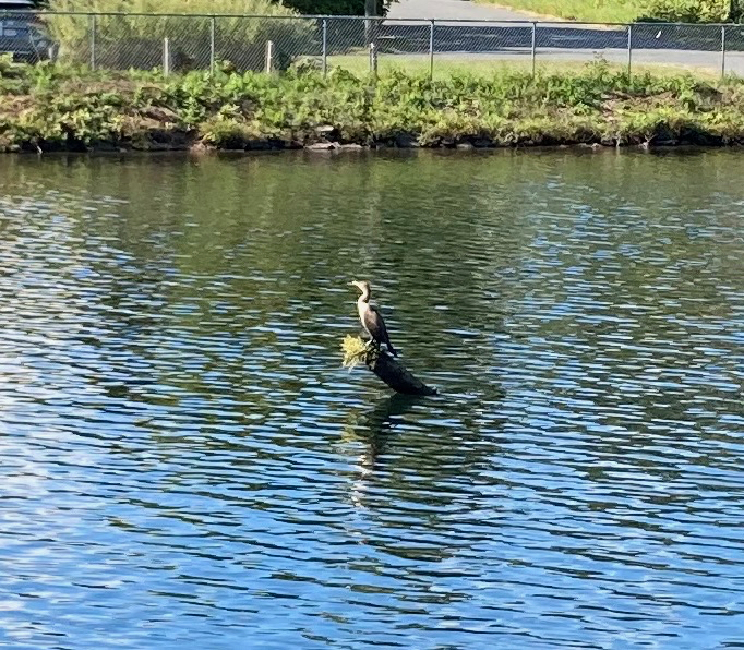
I noticed a log or pole in the water that had a cormorant resting on it:
Further downstream, the canal widens out. Here’s a view at that section, looking back the way I came:
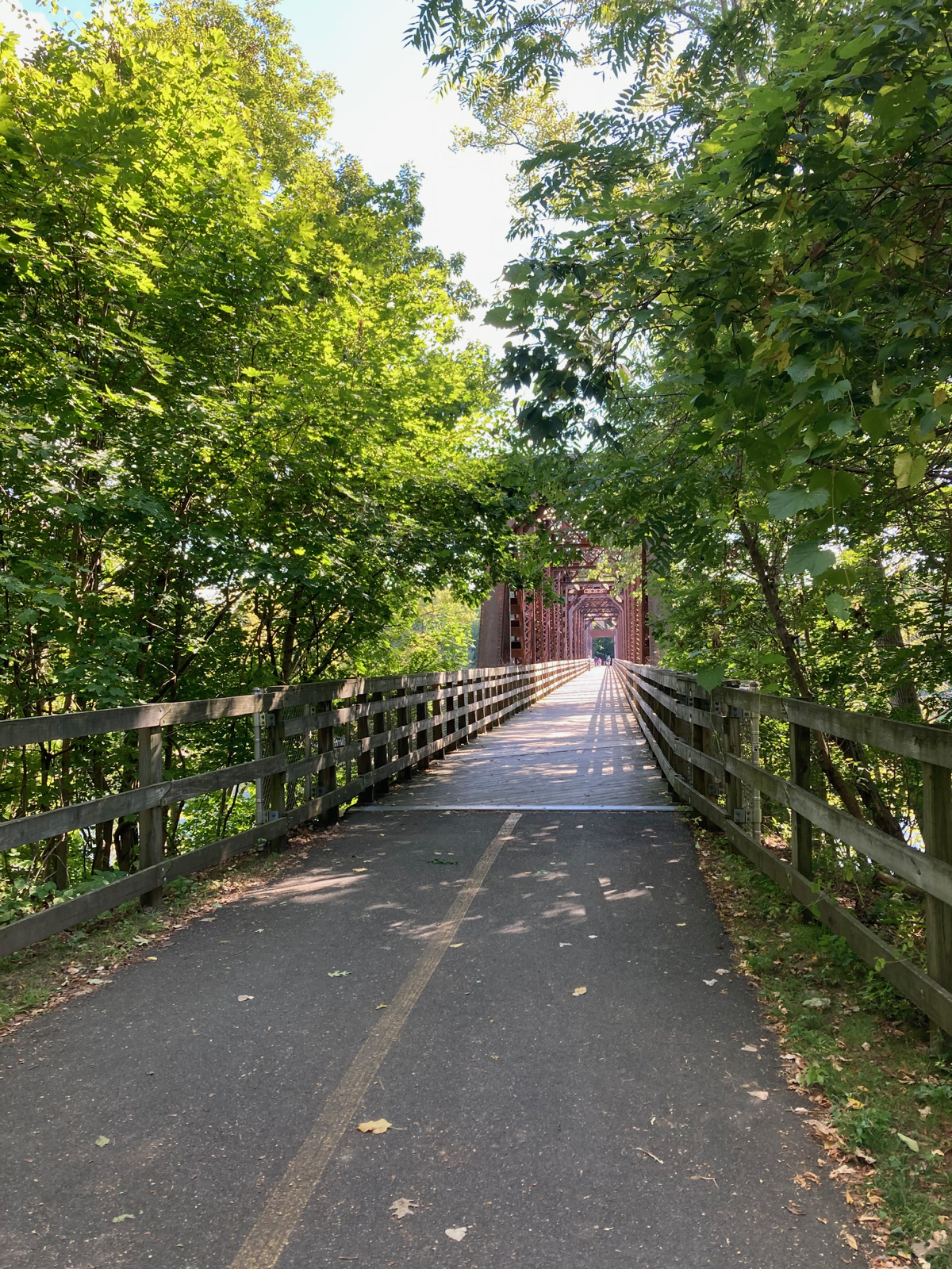
I followed the trail all the way to its western end, which is on the other side of the CT River, in Deerfield. Here is the bridge over the river as I approached:
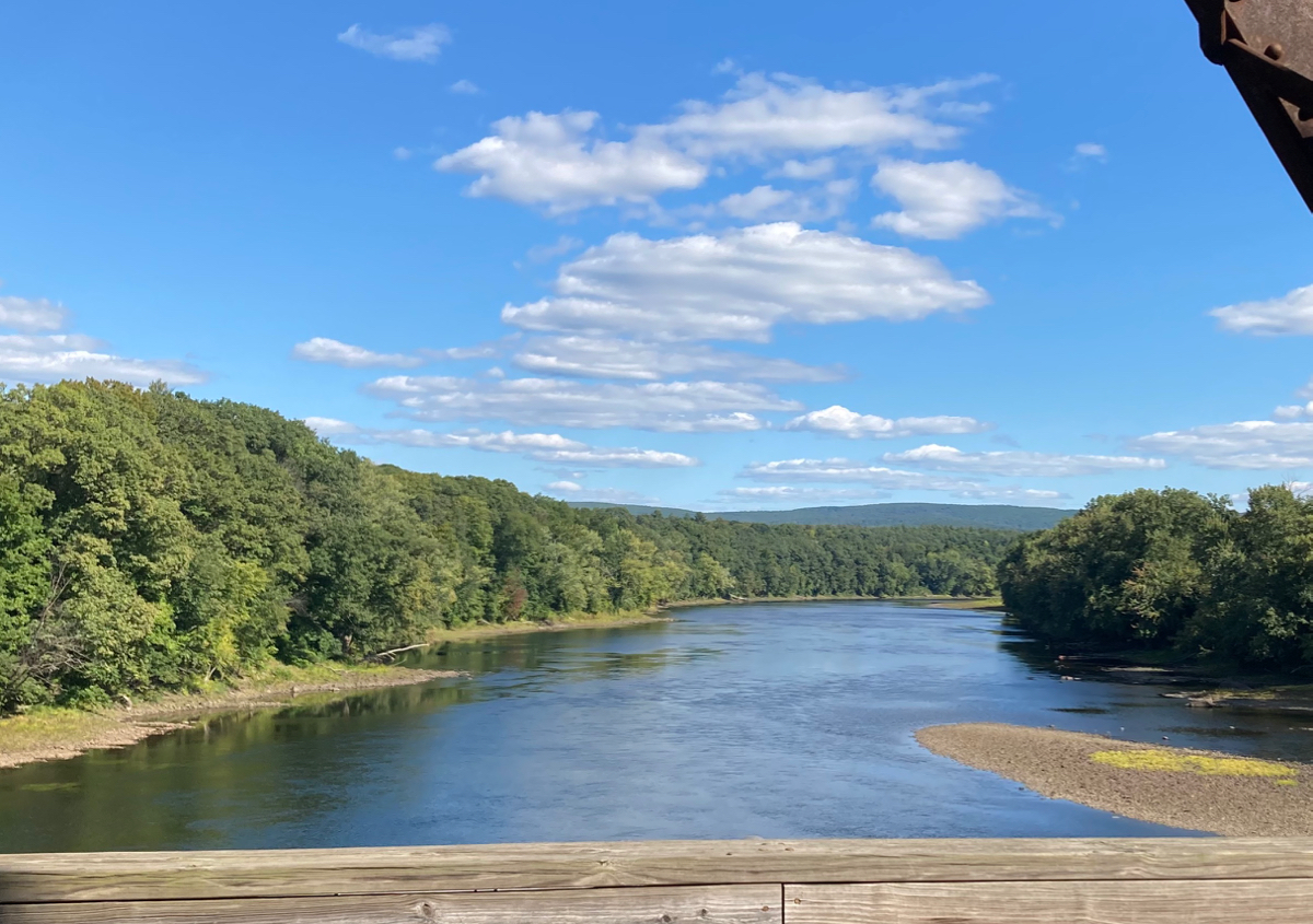
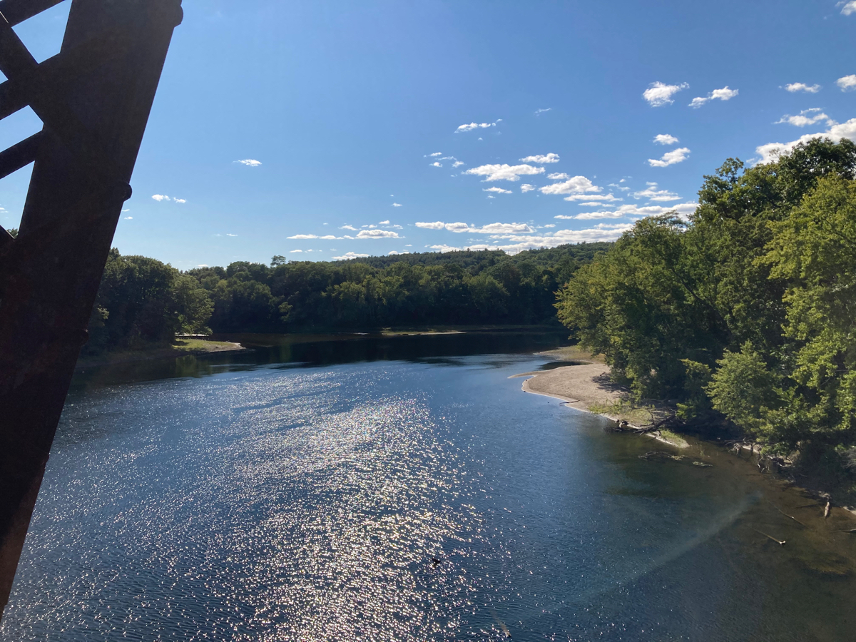
Here’s the view downriver (south) and then upriver (north):
Once on the Deerfield side, I headed straight south on River Road. After a few miles, I crossed Route 116 into Whately, and continued south. The road eventually brought me to and through Hatfield, and back to where I had parked. Just before getting back to the car, I stopped to take a picture of this large birthday cake for the town:
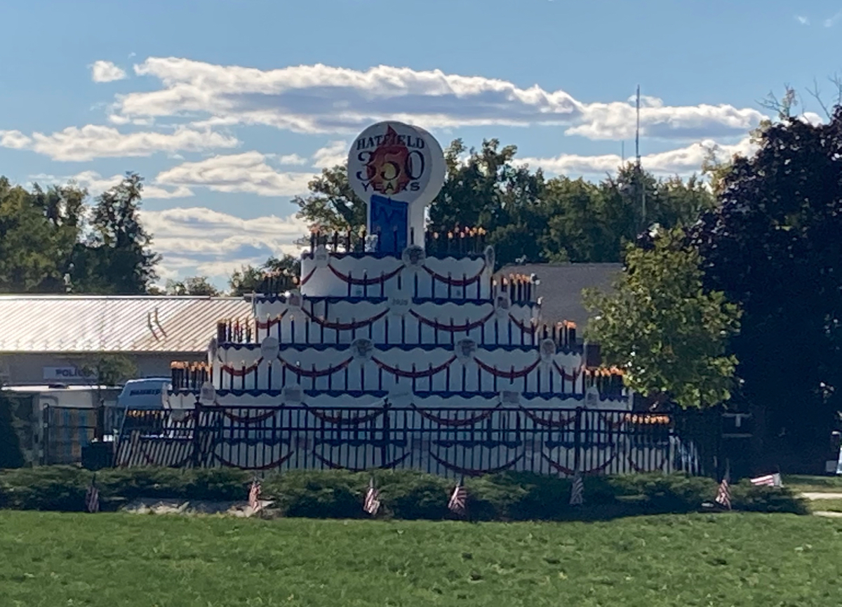
This year Hatfield is having its 350th anniversary.
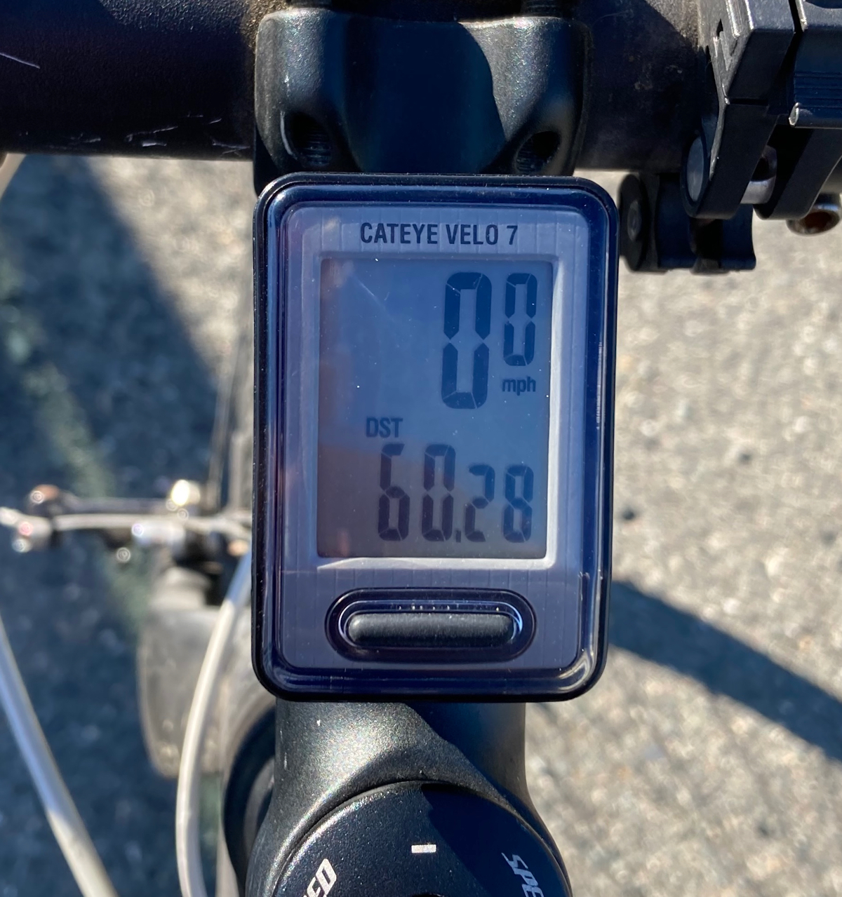
I got back to the car after about 6 hours and 15 minutes, having gone just over 60 miles. This brought my total for the month to about 327.