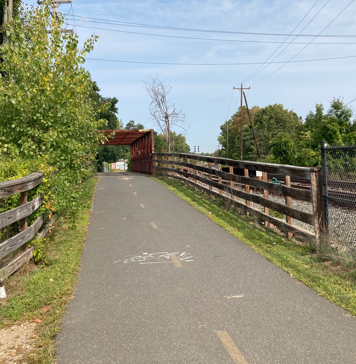
A couple of days ago I did my fifth ride. This was another one that began and ended at my house. I started out with an easy ride north on Route 5 to Northampton, where I got on the rail trail that parallels 5 (and which is next to active railroad tracks). This is a piece of trail that has existed for 11 years – I was there for the ribbon cutting in 2009 and blogged about it here.
Here’s the bridge that carries the trail over Main St. (click on pictures to see full size version):

Just a little further along is the other bridge on this trail, which passes over North St.:
On the trails in Northampton there were several signs like this one:
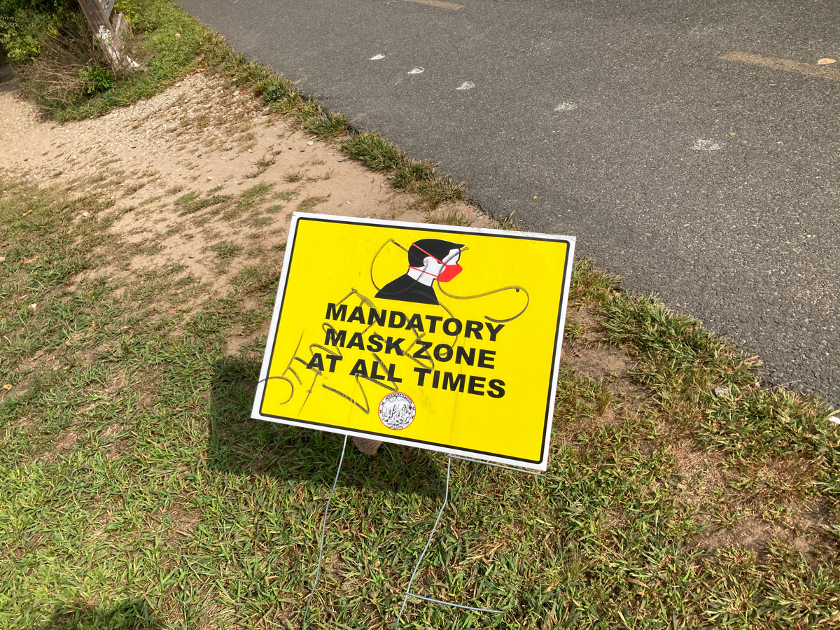
Fortunately, I was all set, as I was wearing my neck gaiter over my mouth and nose whenever riding in an area where I might pass near people.
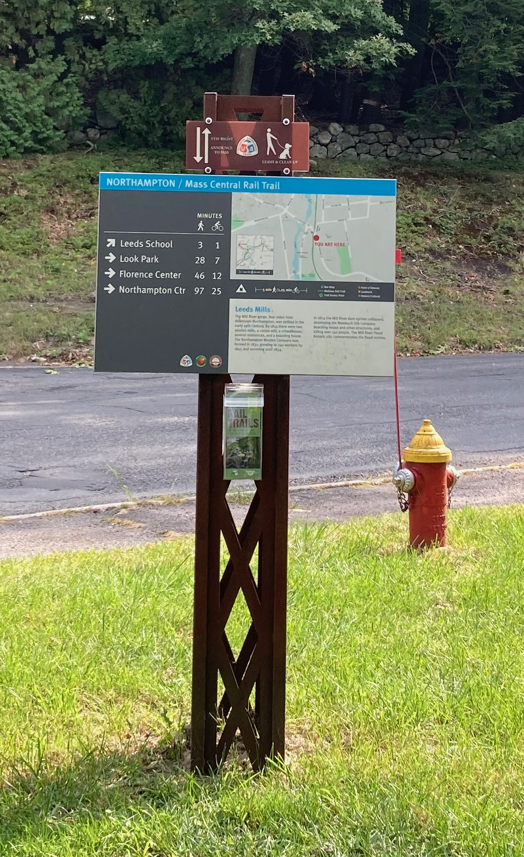
When I got near the northern part of this trail, I headed northwest on the original Noho bike path, which took me all the way to Look Park. I went through the park onto the trail section in Leeds (a village of Northampton), which also opened in 2009. Here’s a wayfinding sign at the main road crossing in Leeds:
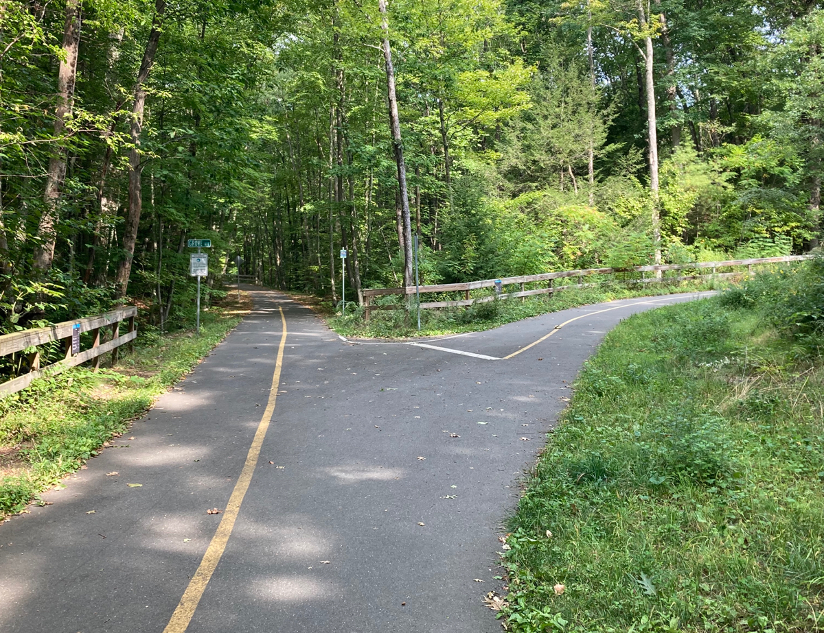
Just after that crossing, there is an exit ramp from what used to be the end of the trail:
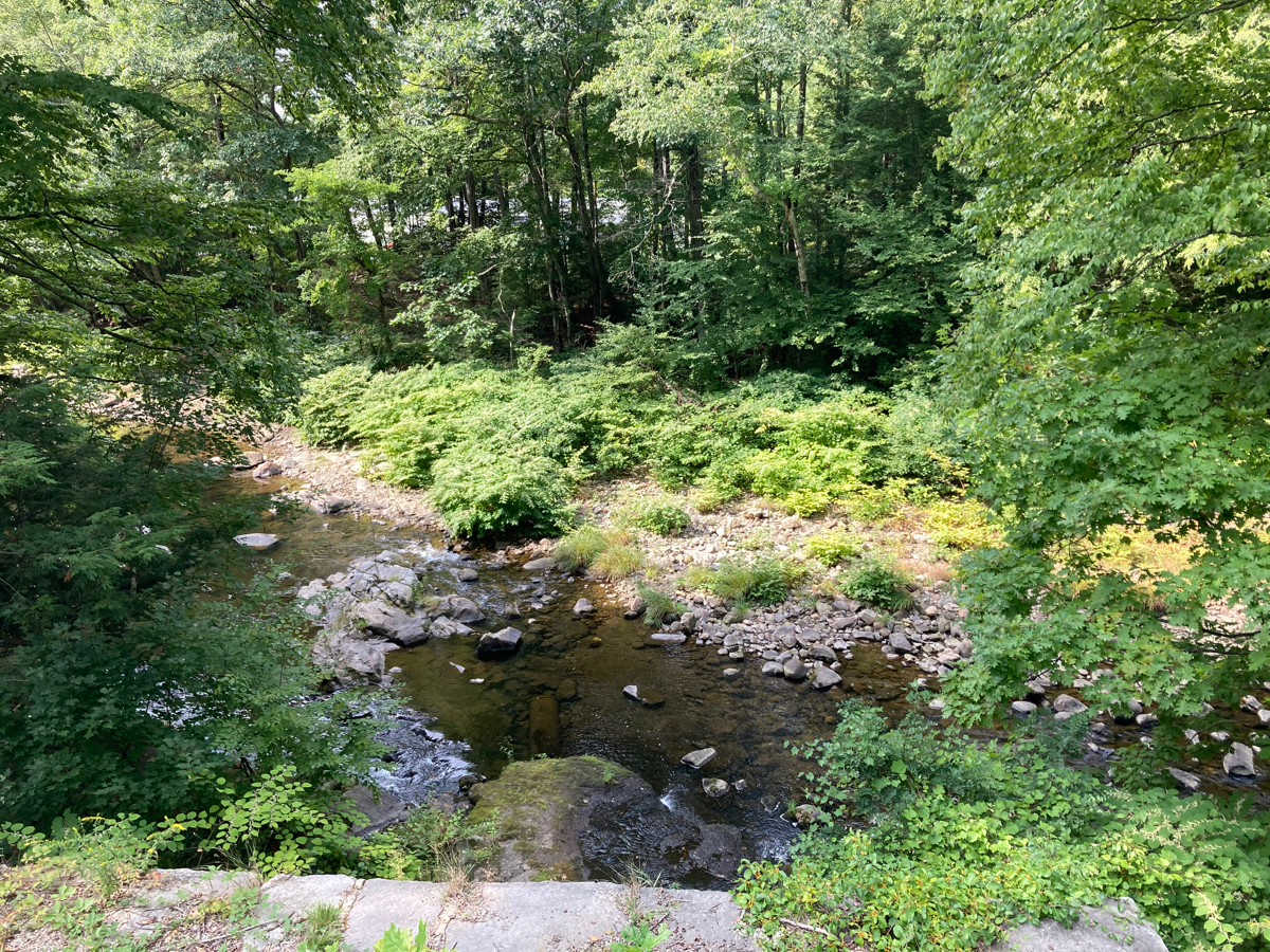
However, the trail now goes further northwest, a little ways into the town of Williamsburg. On the way, there is a bridge over Beaver Brook, from which there is a nice view of the Mill River:
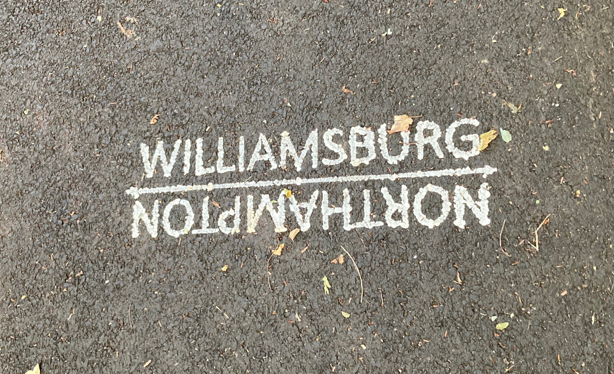
And there is a marking of the town line on the trail shortly after that bridge:
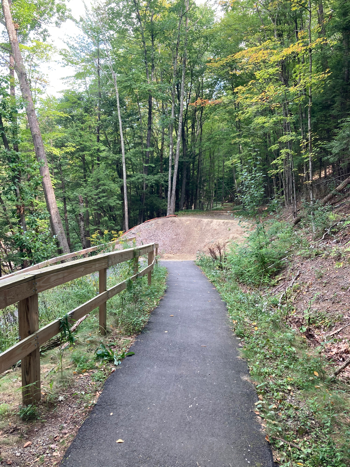
Near its end, the trail gets narrow, and then has a sharp curve before it lets out onto River Road:
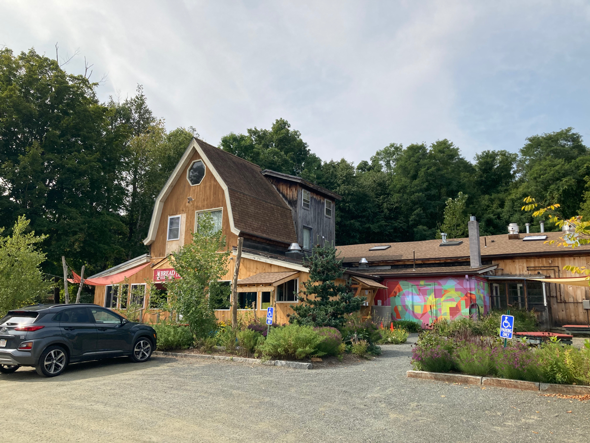
Once off the trail, I made my way on a couple of side streets to Route 9, and then doubled back a bit to the southeast on 9 to Bread Euphoria – a great bakery and restaurant, where I picked up some lunch to go (I got the Burgy Cheese Steak).
I then followed Route 9 northwest all the way to and through Williamsburg Center, and then turned onto Route 143 to go due west. This is where my climbing for the day began. As 143 heads up into the town of Chesterfield, it initially climbs for about 1.5 miles. During the climb, I ran across this sign:
I also looked up at one point in the climb and saw a hawk sitting on a telephone wire just ahead of me. However, it flew off into the woods before I could think about stopping and getting out my phone to take a picture.
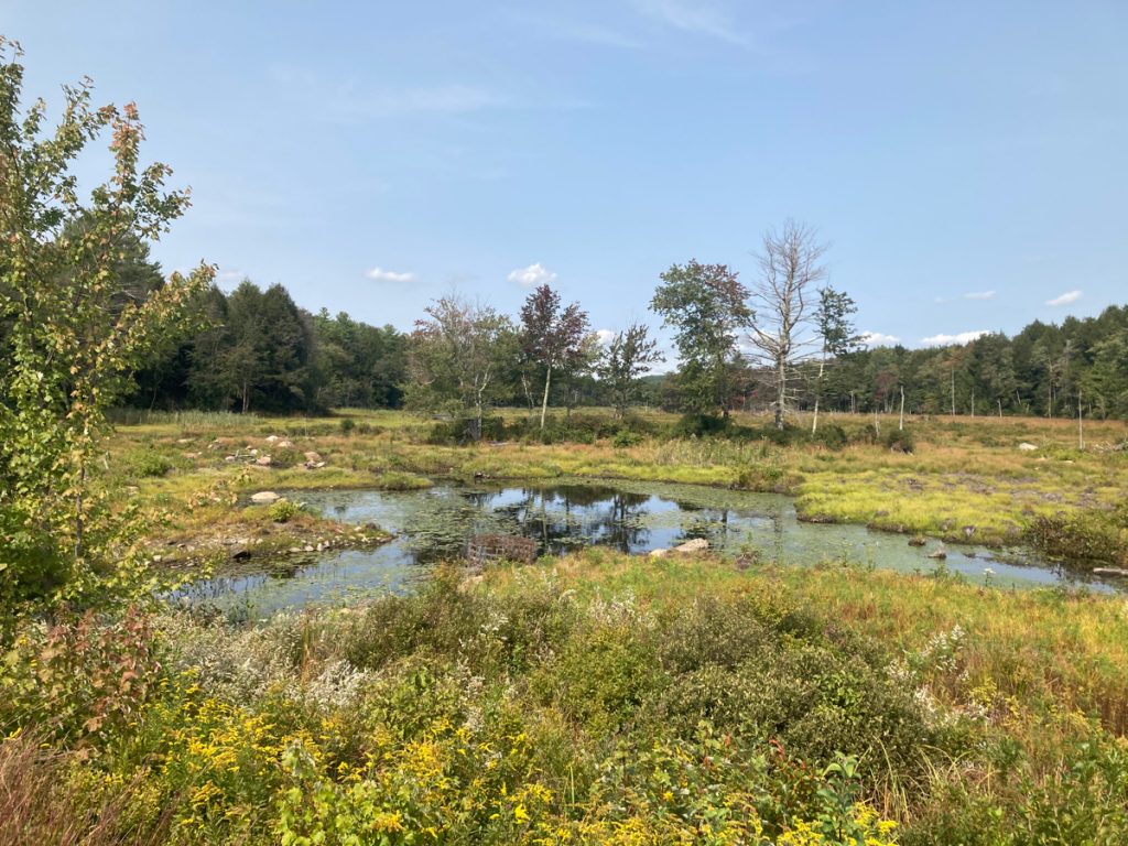
After that 1.5 miles, there is some level riding for a bit, and a small amount of downhill riding. Just after that downhill there’s this marsh off the side of the road:
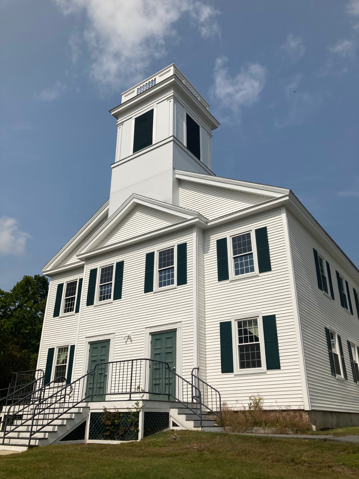
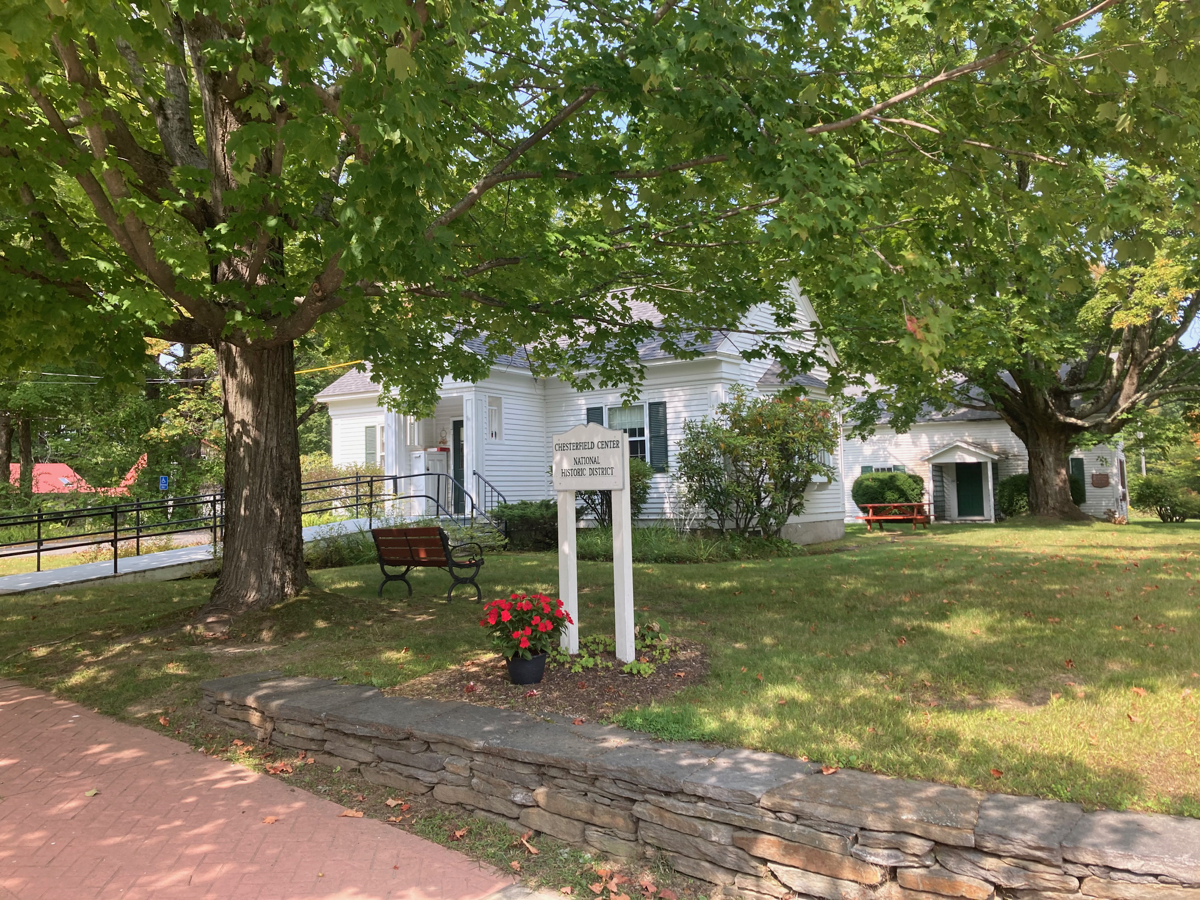
As I stopped to look at this, some birds flew out of the water and away from me. I could not identify what species they were. I continued on, and did some more climbing to get up to Chesterfield center. Here are some of the buildings there:
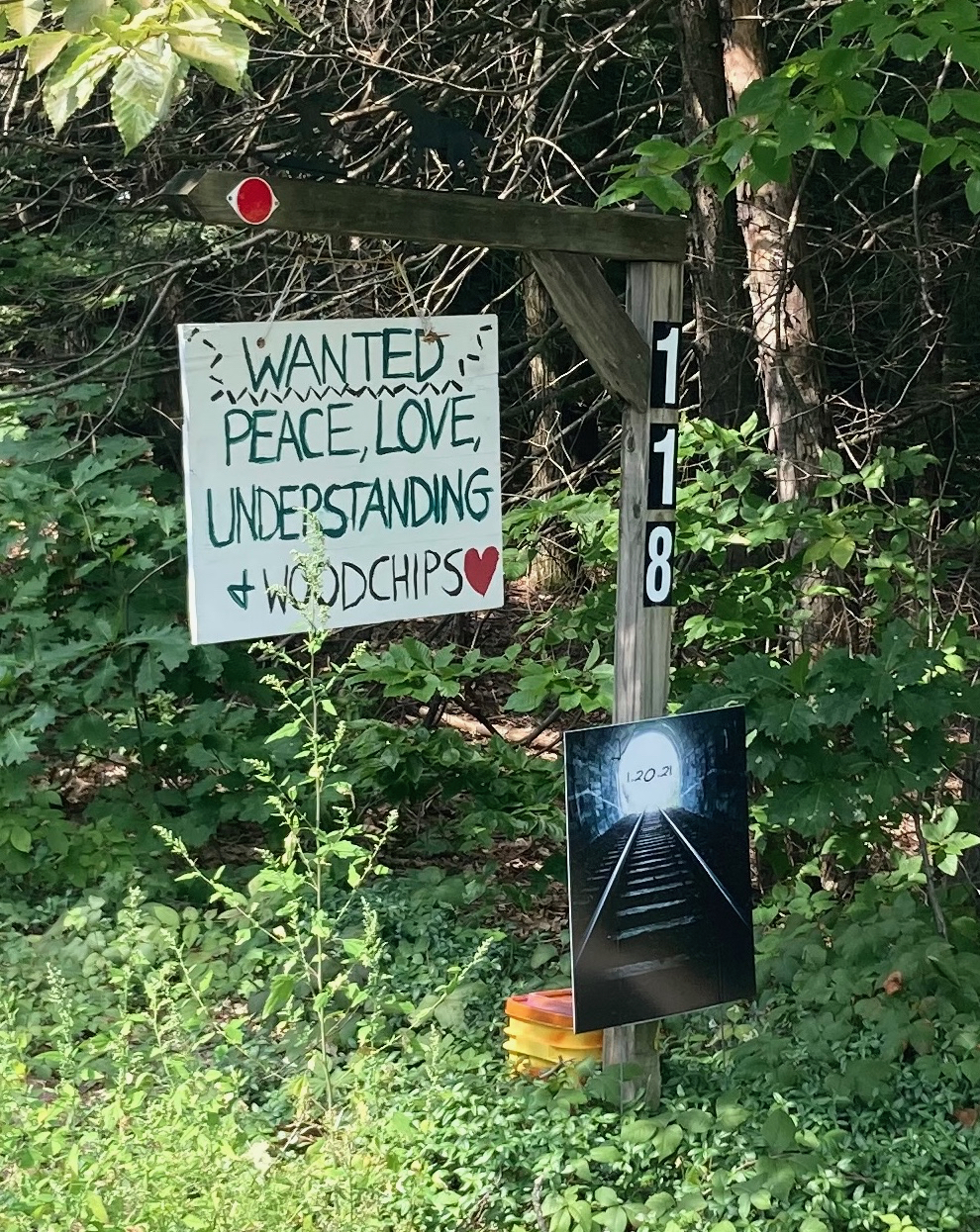
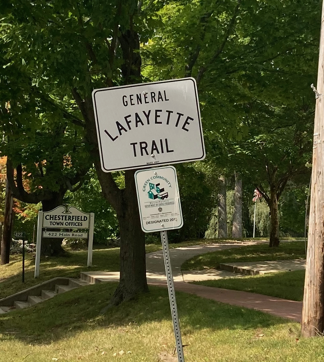
I also saw the second instance on 143 of this highway name:
And just as I was leaving the town center, and about to head downhill, I got to the Chesterfield General Store:
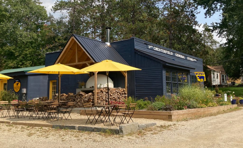
I bought a bottle of blood orange lemonade here, and sat outside to eat my lunch. Afterward, I continued west, on the long, fast downhill part of 143. When I say fast, I mean that my bike got up to a speed of 42.5 miles per hour at one point (and I used my brakes on parts of the hill). It was pretty exhilarating.
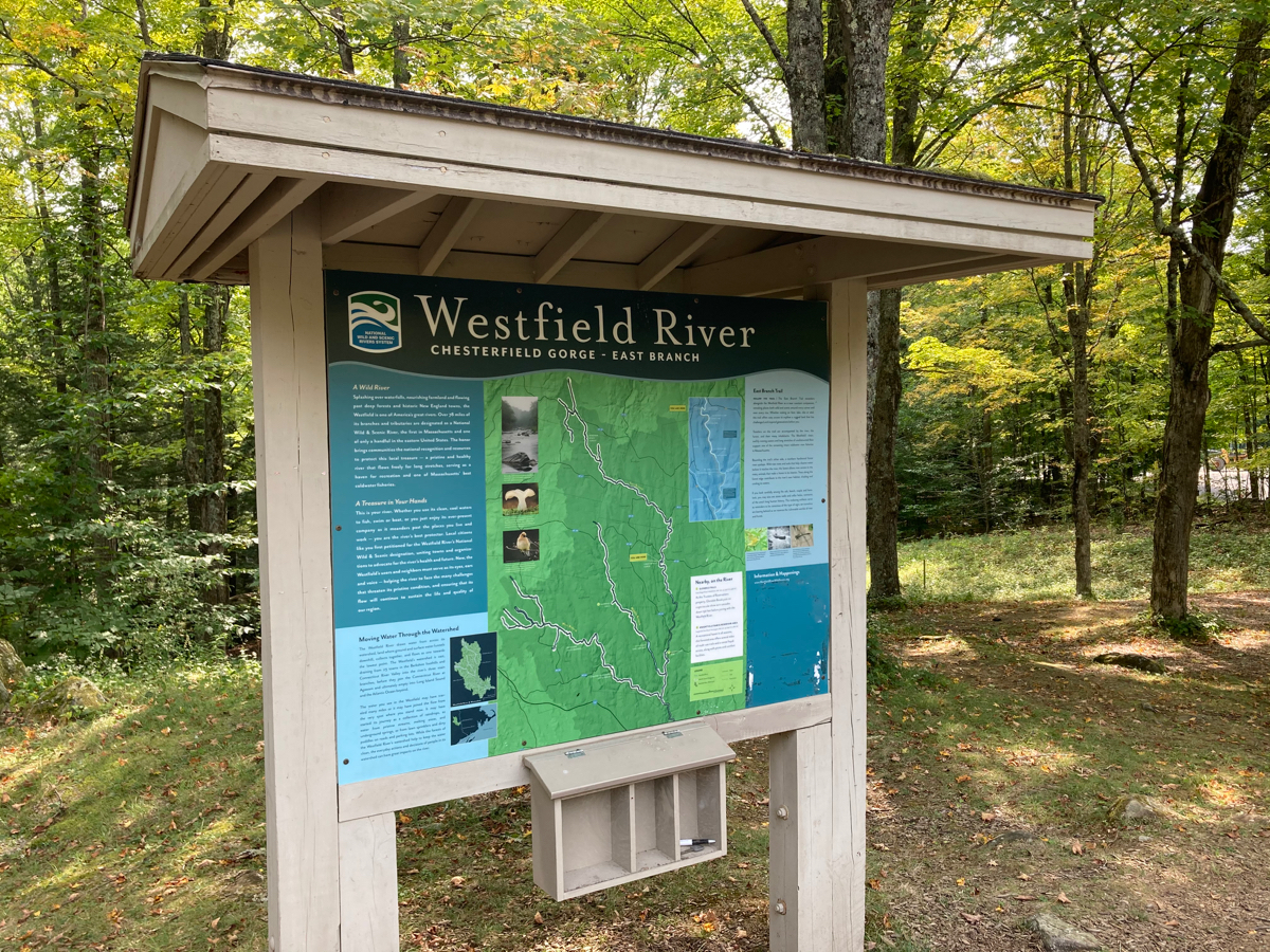
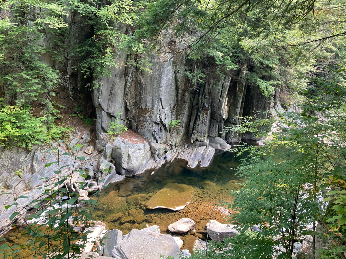
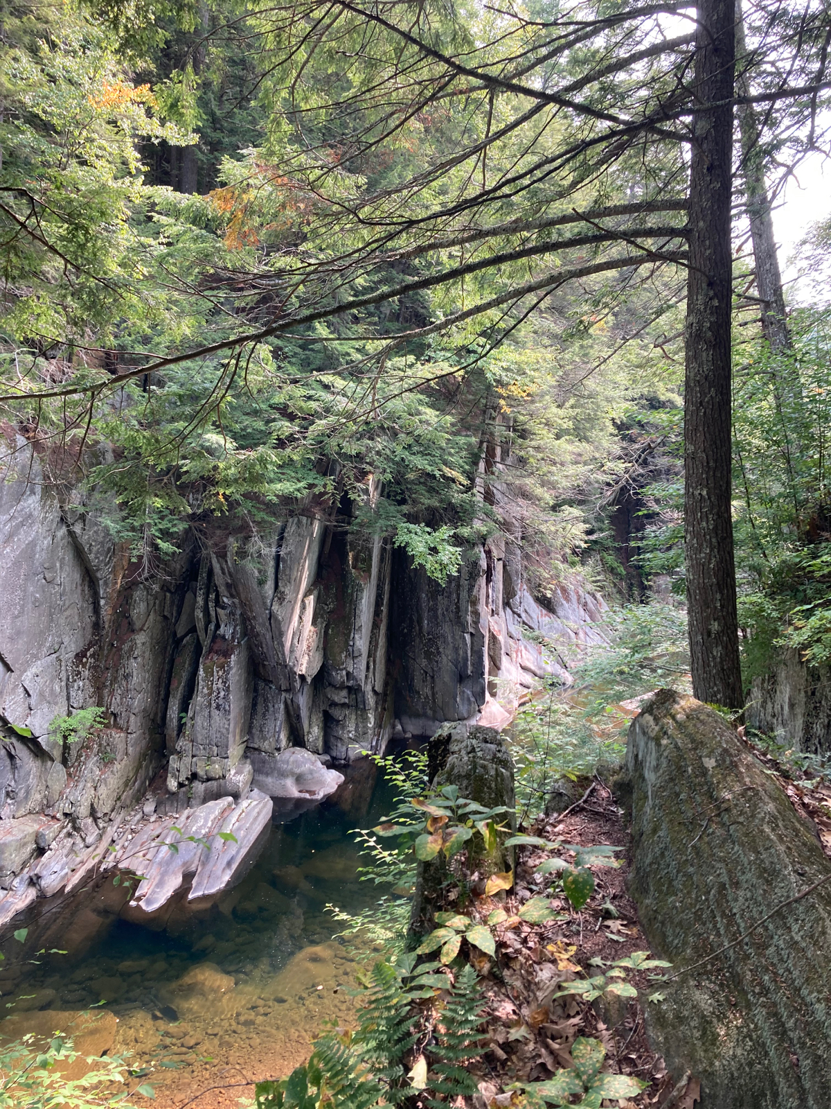
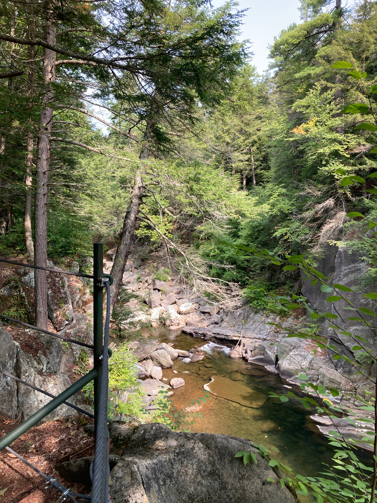
Right after reaching the bottom, I turned left (south) onto Ireland St., and shortly came to my main destination for the day: the Chesterfield Gorge. This is a pretty natural feature of the Westfield River, maintained by a nonprofit known as the Trustees of Reservations. Here’s one of the introductory signs, and some views of the gorge itself:
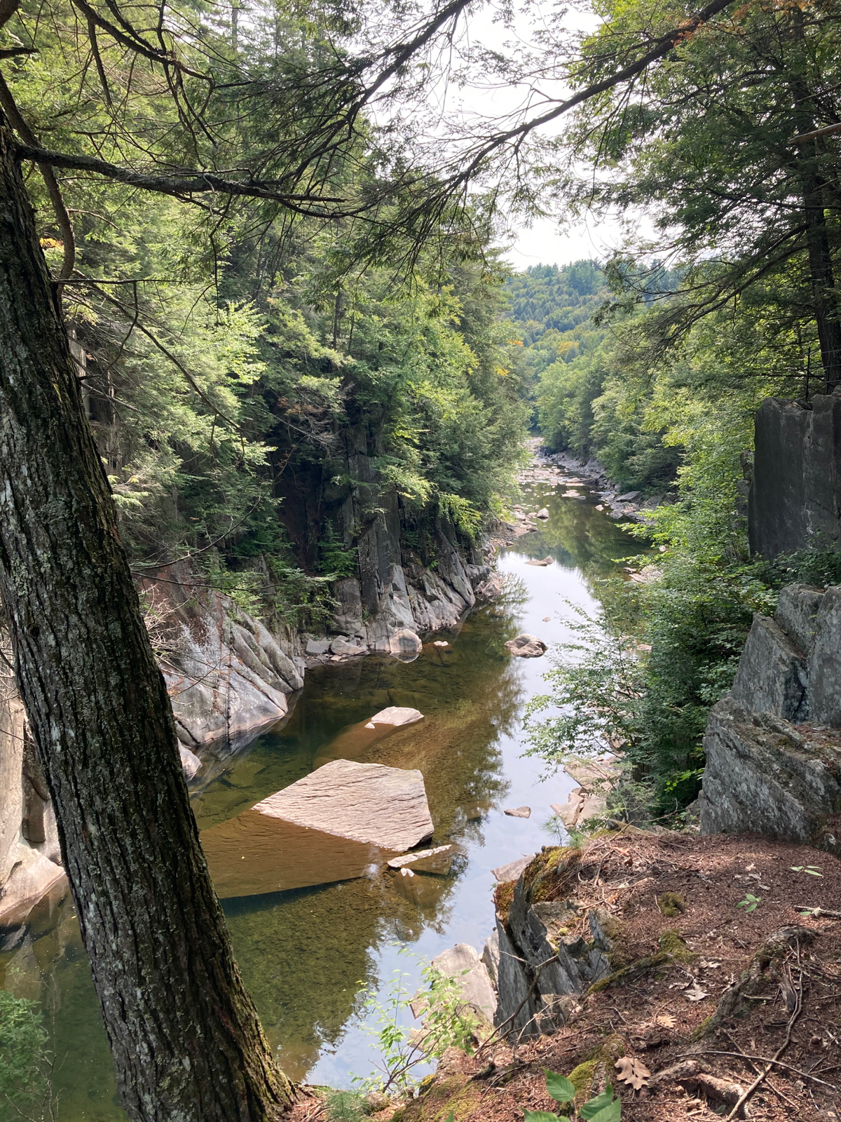
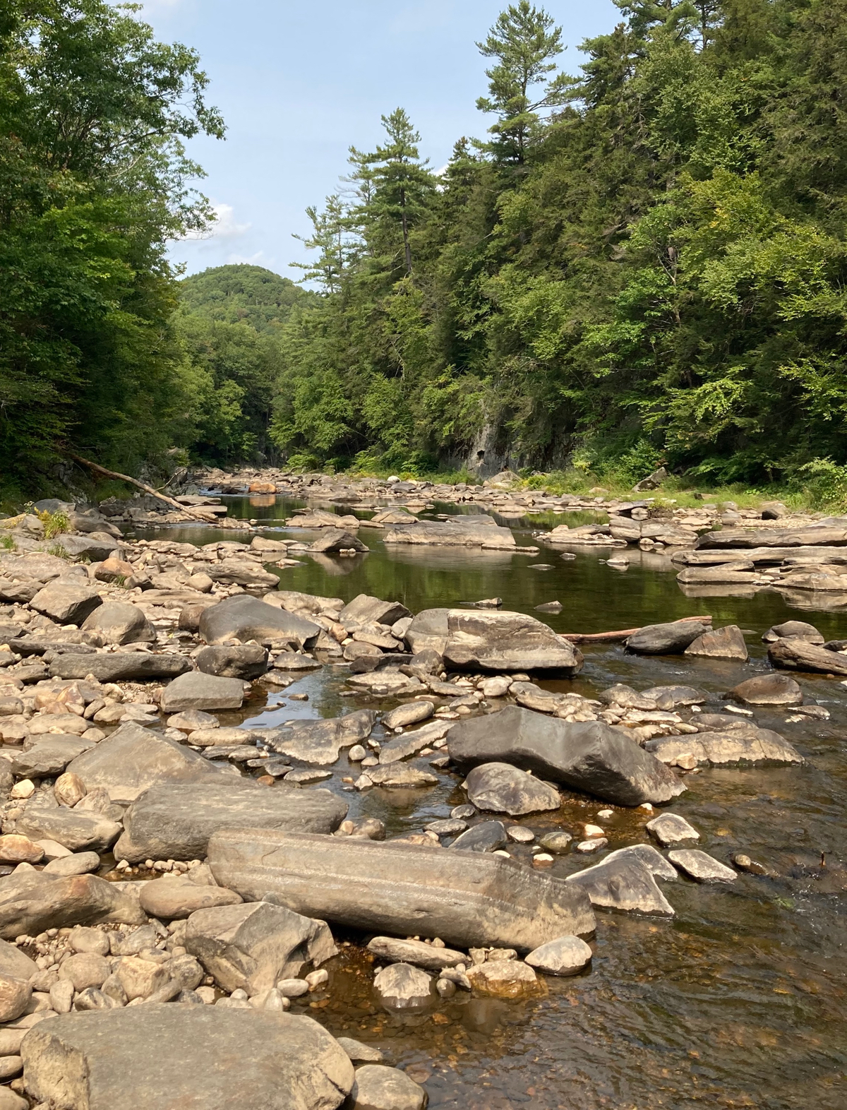
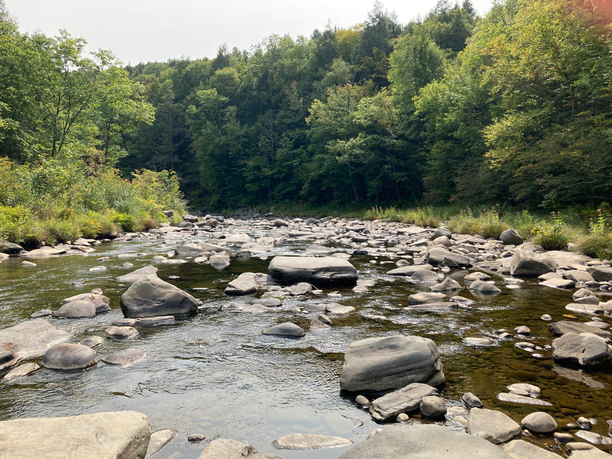
One can walk further downriver, outside of the official gorge reservation, where there is a town fishing area. It’s not a gorge at that point, but you can walk out on the rocks in the river, so I did. Here’s a view looking back upriver (north) toward the gorge:
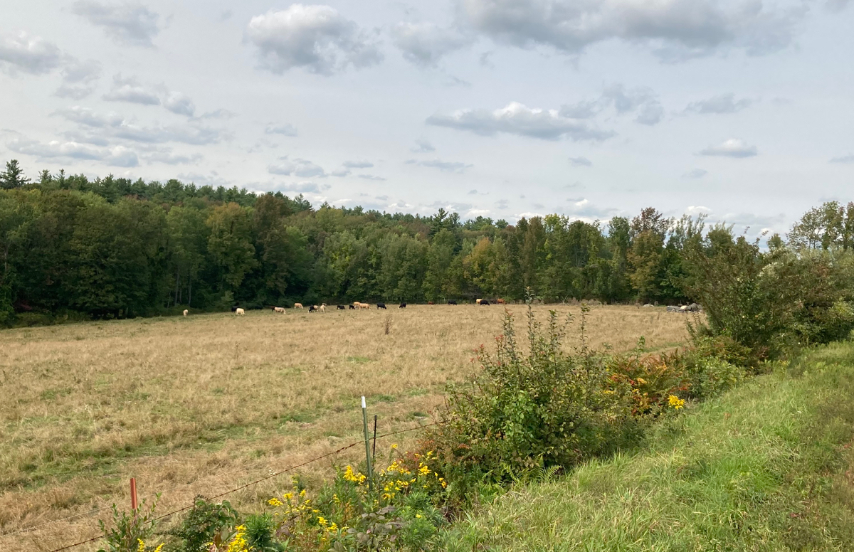
After standing in the middle of the river, I walked back up to the gorge parking lot, where my bike was chained up. I headed out, and went further south on Ireland St., which immediately starts climbing after the gorge. The climbing is not too long, but the first few bits of it are reasonably steep, so I had to stop and rest once on the way to the top. At the top of the hill, there’s a plateau for a little while, and there are some farms and an orchard there. Here’s a cow pasture up there (with cows in the distance):
Shortly, I got to go downhill for the rest of this street, until I came to Route 112 in the town of Worthington. There’s a little village center at that intersection, called South Worthington:
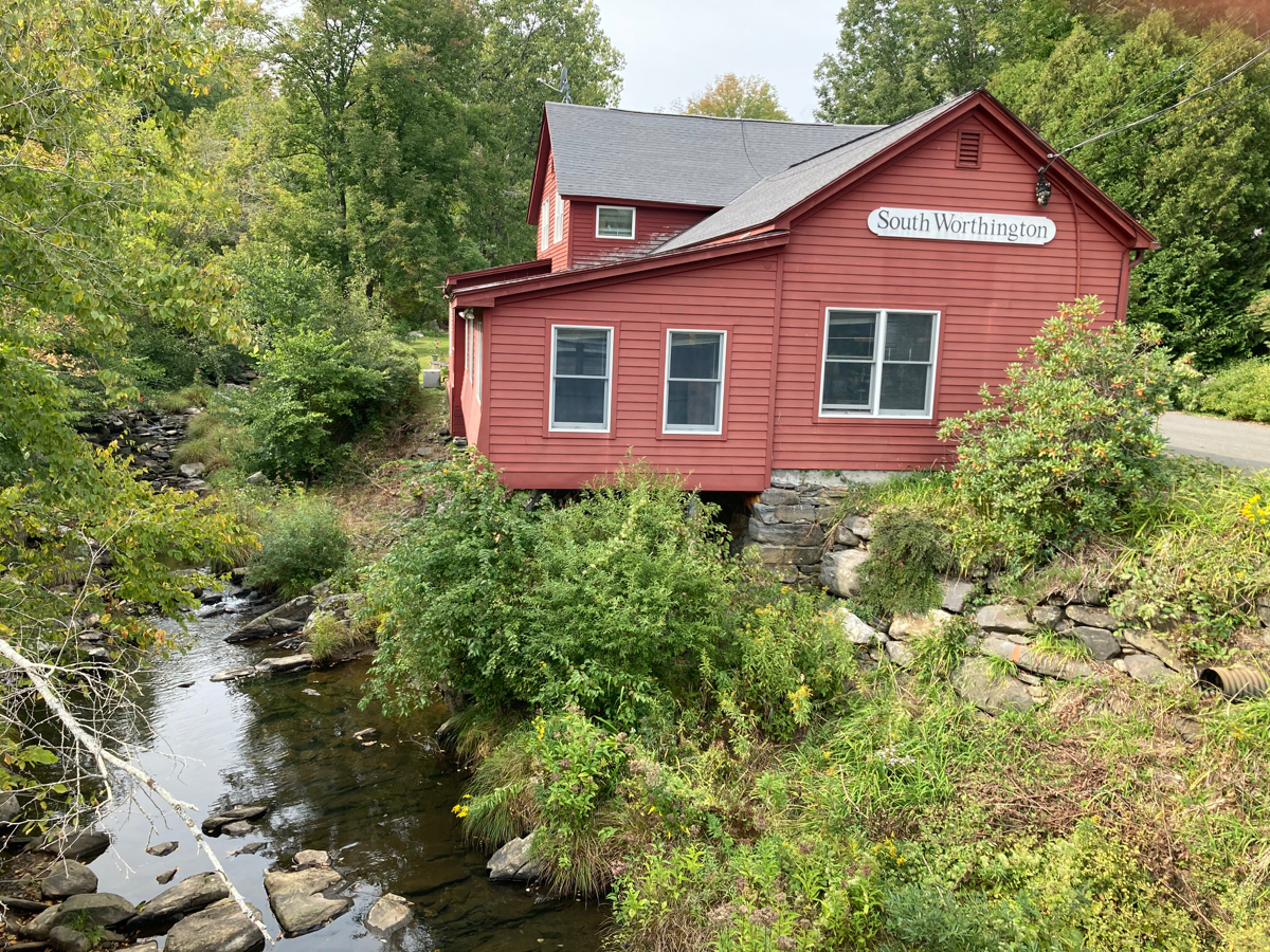
That waterway is called the Little River.
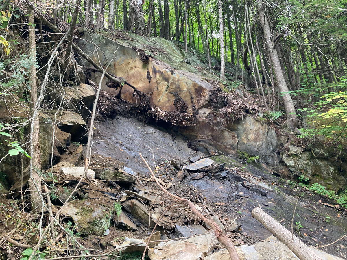
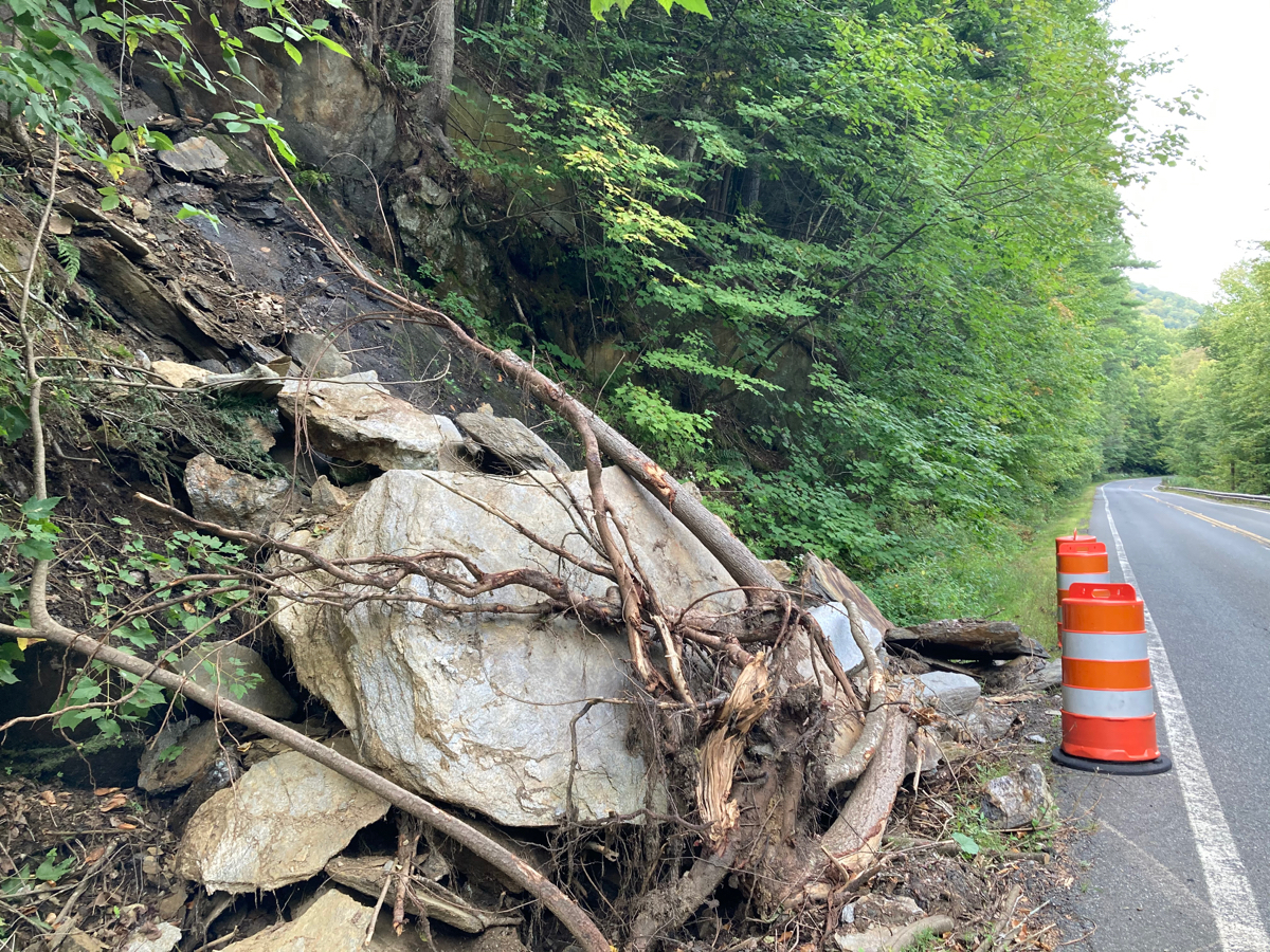
From here I headed south on 112, quickly passing into the town of Huntington. At one point I noticed some orange construction barrels up ahead, and they turned out to be marking a rockslide on the edge of the road:
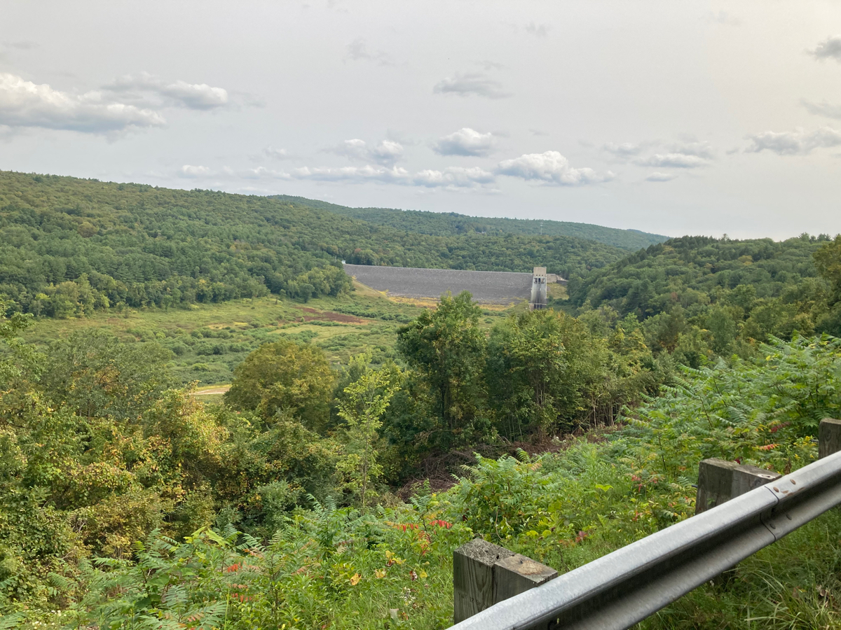
Most of the riding on 112 in this direction is downhill, so I was making pretty good time. I stopped at a scenic outlook to this picture, showing the Knightville Dam in the distance:
Not long after this, I came to the intersection of 112 and state Route 66 (the western end of 66). I turned onto 66 to head east and began to climb. This climb is not very steep, but it is long. I stopped to rest a couple of times. There was one place I stopped because it contained something I did not remember from previous times I’d traveled this road – there is a bench and water spigot, which I can only think must have been put there for cyclists, as there’s nothing else around:
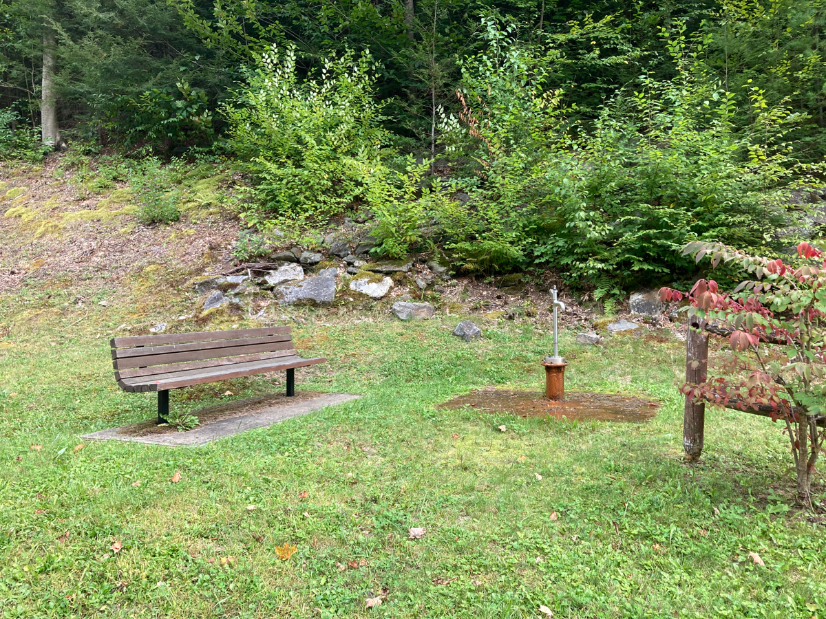
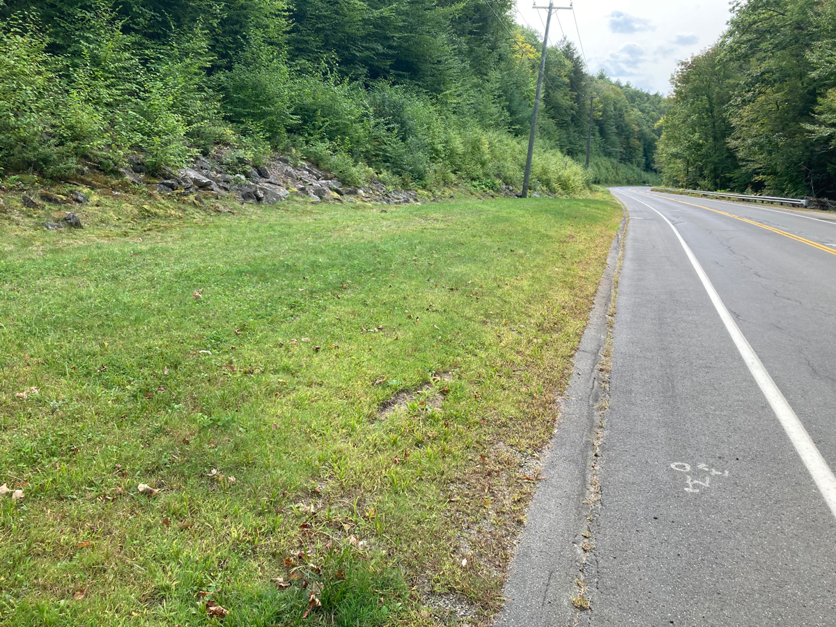
Looking to the right of this (downhill), you can see that it’s just a grassy area by the side of the road:
I was not tempted to use the area, as the spigot seemed to be leaky, and its base was rusted, so that there was a pool of rusty water around the base.
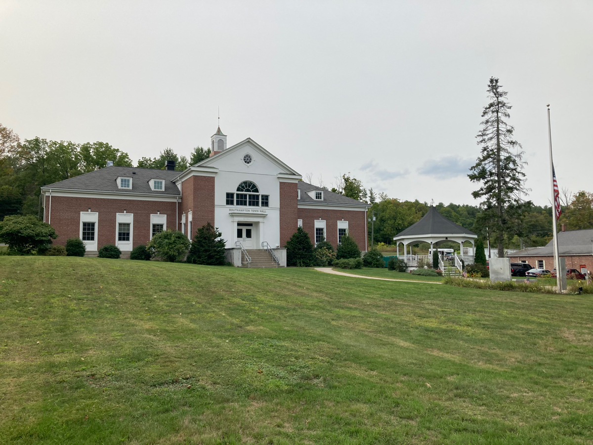
I kept climbing, and eventually got to the top of the ridge, just before crossing the town line into Westhampton. I went downhill for a couple of miles, before going a bit upward to Outlook Farm, where I’ve stopped a number of times in the past. I did not stop there on this trip, but turned south there, and rode further downhill into the town of Southampton. I made my way to the town center, which looks like this:
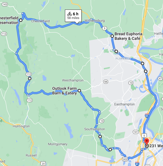
I went a bit east of this point, then further south, and then headed east over a small hill I had not traveled before (on White Loaf Road – not sure how it got that name). This took me back to the Holyoke city line, and I headed over one last hill to get home. The distance for this trip was 58.66, which brings my September total to 266.66.