
Back in June I took a week-long bike trip to celebrate my 50th birthday. I rode across New York State, following the Erie Canalway Trail.
I did not ride that trail at first, though. I initially had to spend a day getting from Holyoke to Albany. I loaded up my luggage (2 large pannier bags on either side of my rack, and a backpack bungied on the rack between them) and headed west, riding through Westfield, and up into Montgomery, MA.
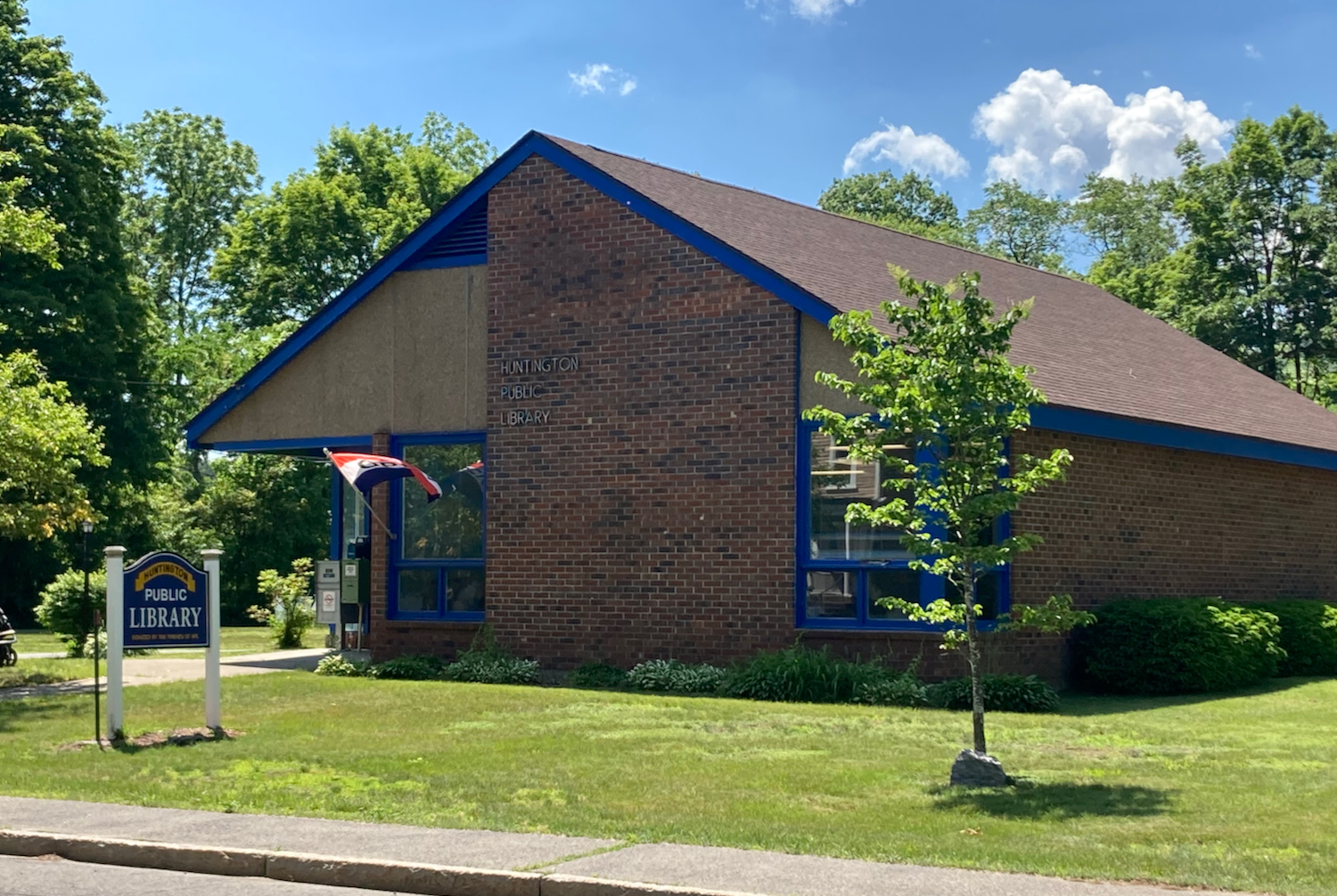
The climb into Montgomery is long, and is steep at points, but I made okay time, considering the extra weight strapped onto the bike. After passing through the town center, I had a nice long downhill run into the town of Huntington, and got into that town’s center just under 2 hours after leaving home. Here is the Huntington library, with its blue trim (click on pictures to embiggen):
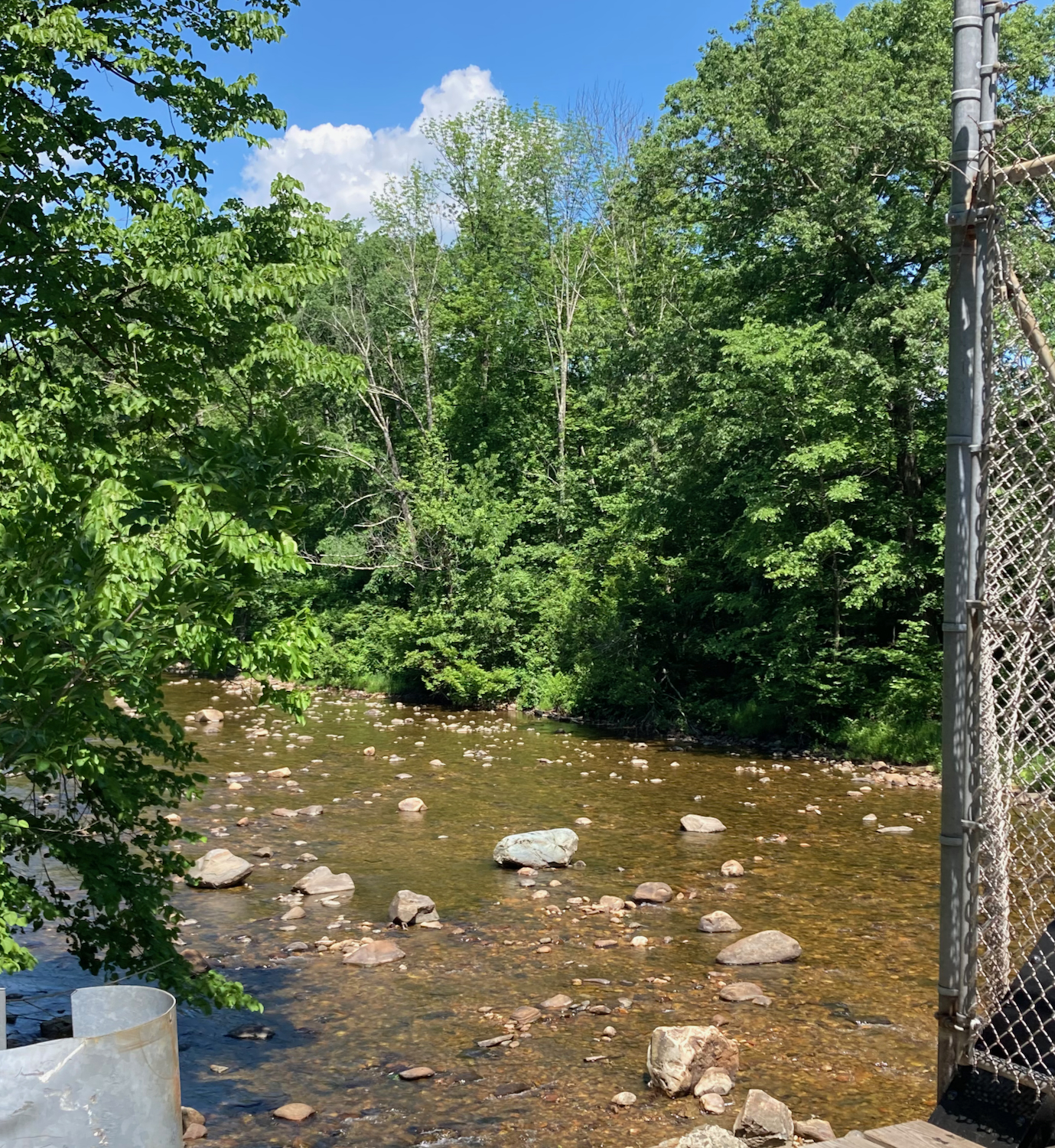
From Huntington, I continued west on US 20, next passing into the town of Chester. 20 follows the Westfield River, and there are a few spots to get a good view, like this:
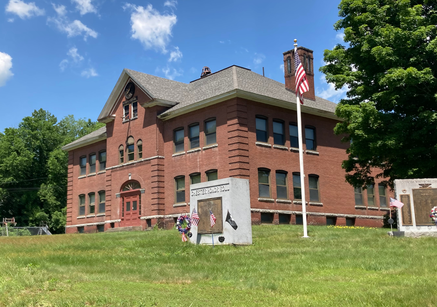
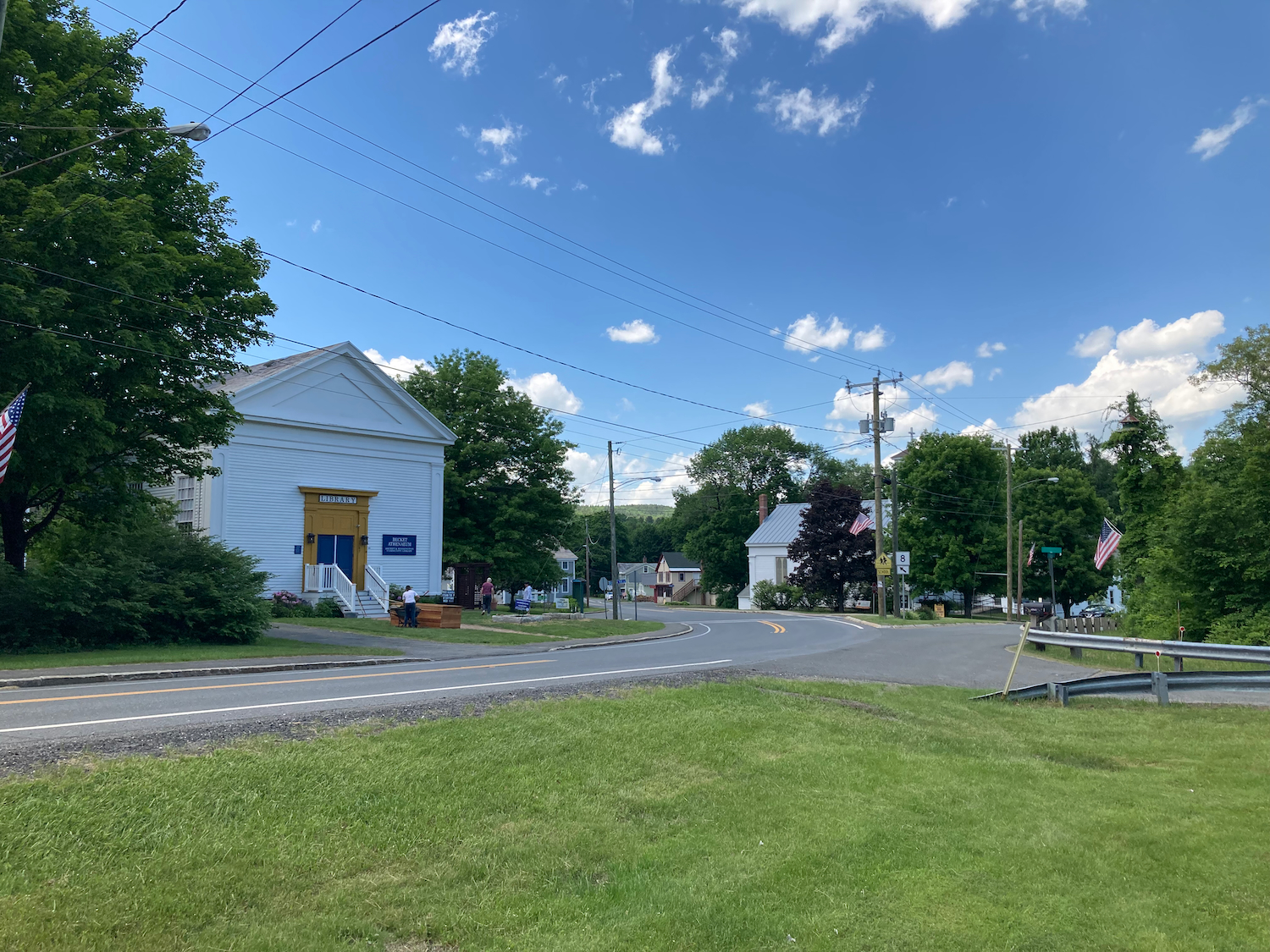
In Chester, the road started to take me slowly uphill. The area where it started to climb was fairly populated (not sure if this was the town center, though). I thought this old building was interesting:
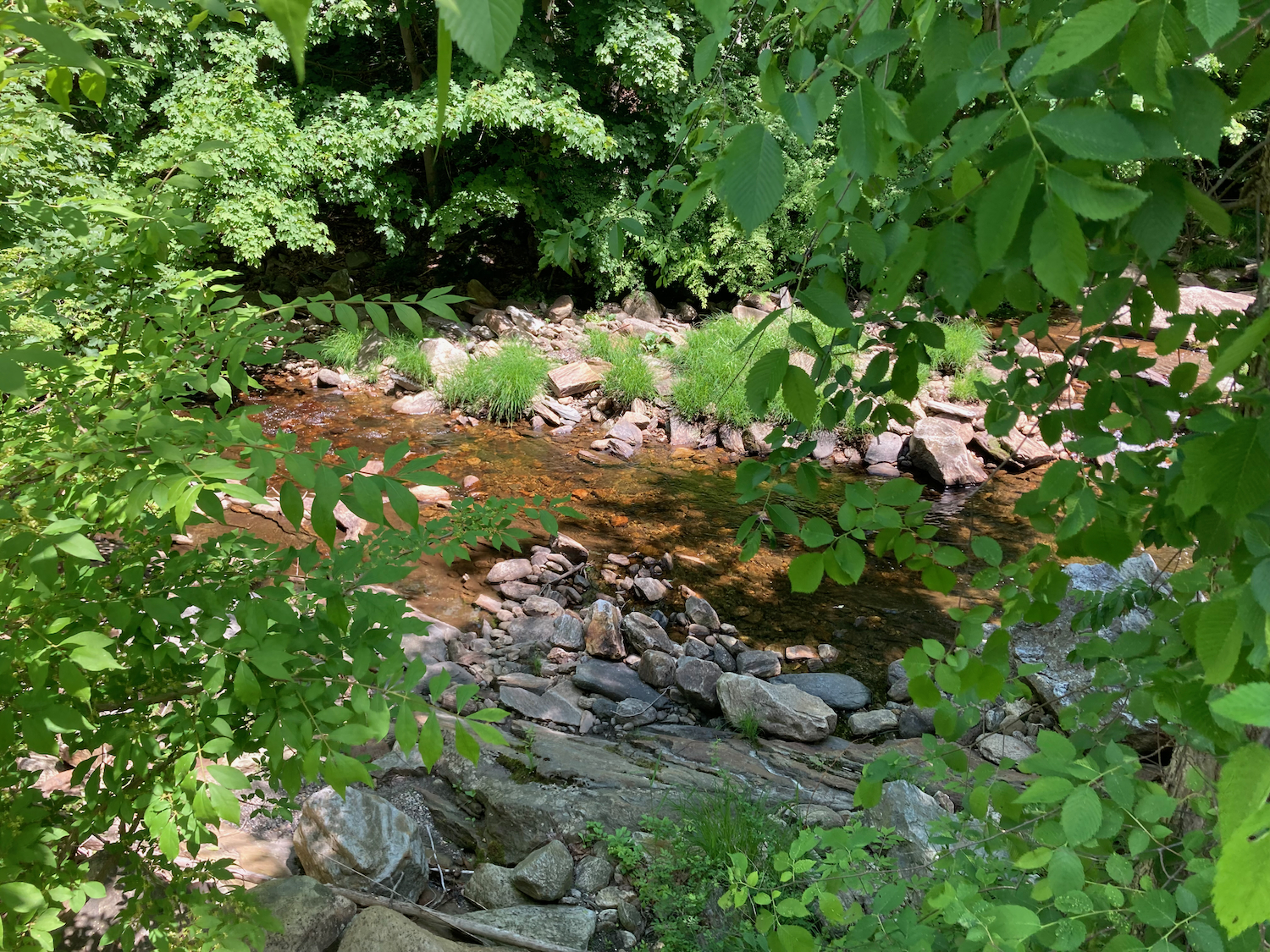
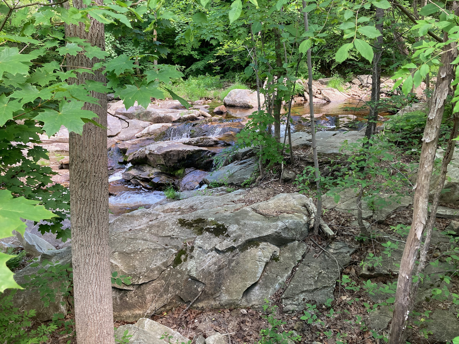
I spent a bunch of time climbing from here, as Route 20 continued west into Beckett, MA. In Beckett, I intersected Route 8, and took that road north. After some more up and down riding (but mostly up), I got to the village of North Beckett. I stopped here to eat the lunch I’d brought with me, in a little park by a creek. There were some shady benches there, and the park contained a bunch of veterans’ memorials:

From there I had a bit more climbing to do as I continued north, and then I turned off Route 8 to go west, and downhill a bunch, into the city of Pittsfield. I went straight through downtown Pittsfield and picked up Route 20 again, which I followed into the town of Hancock (passing Hancock Shaker Village), and then went up another hill which peaked just before the state line.
This was possibly the biggest downhill run of the day, as the road descended for 2.5 miles, crossing into New York just a bit below the top. I continued riding west, through New Lebanon. At one point I stopped to rest, and saw these flowers by the roadside:
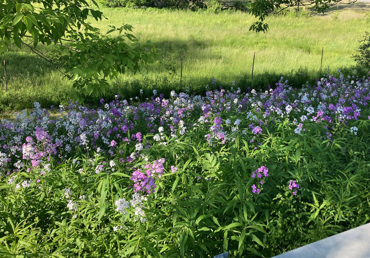
After some web searching, I believe these are dame’s rocket.
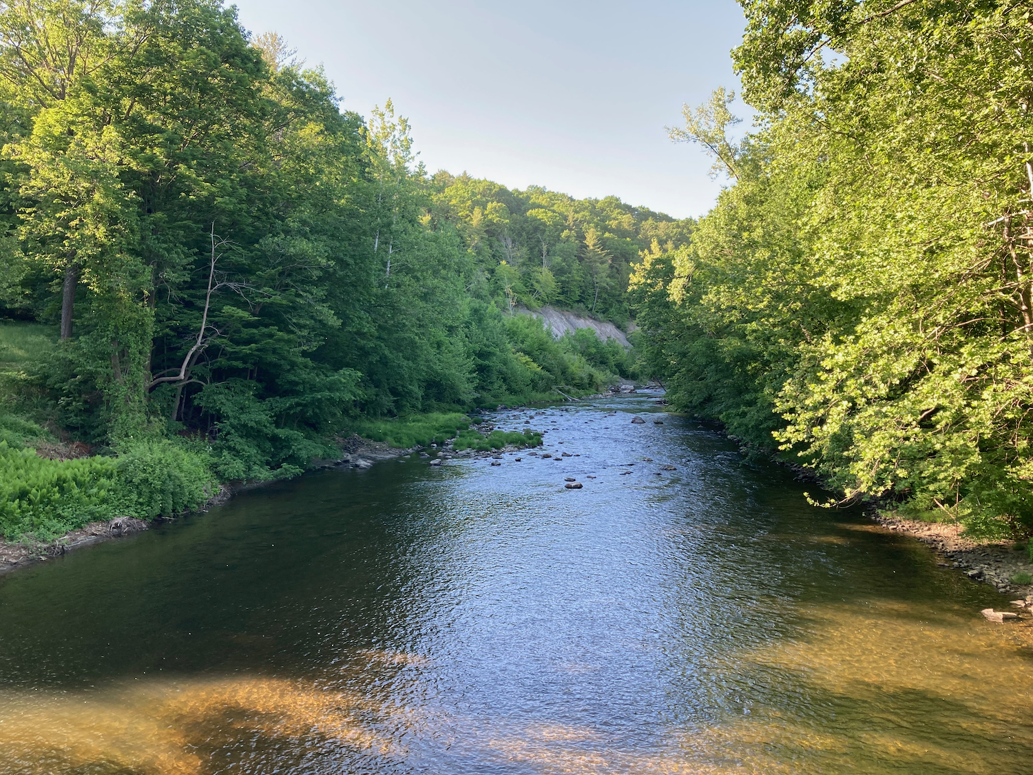
Passing through the town of Nassau, I crossed Kinderhook Creek a few times. Here is the creek seen from one of those bridges:
Further along in Nassau I stopped for dinner at a place called Tacos Diablo. I had 3 small carnitas tacos, along with a pineapple soda.
Continuing on 20, there was some more up and down as I got near the Albany area. Just before I reached Rensselaer, I saw this business:

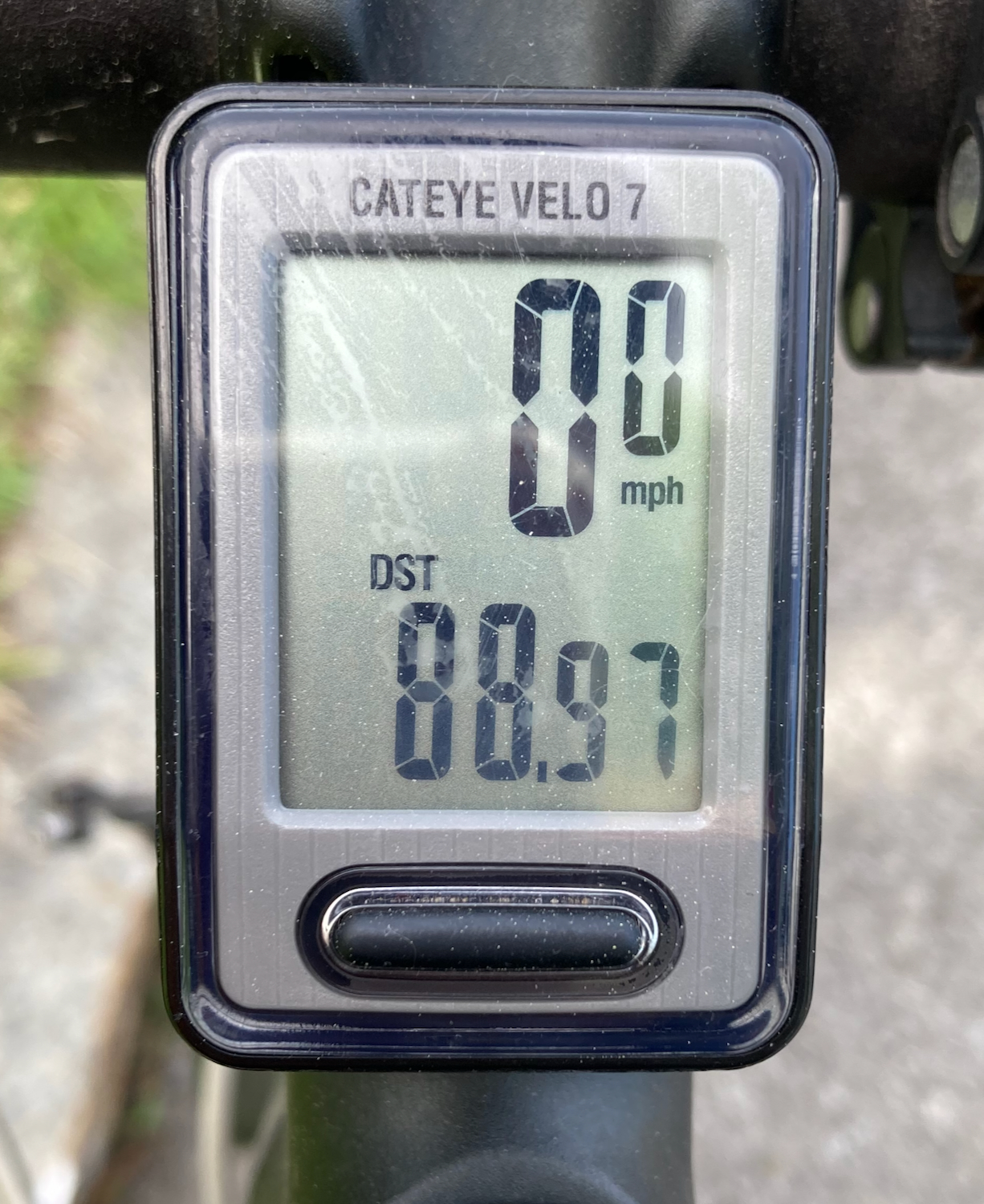
From there, it was downhill all the way to the Husdon River. I crossed the river on a bike/pedestrian bridge, and then made my way a few more miles through Albany to my lodging for the night. My total distance for the say was just about 89 miles, and took me a bit over 12 hours.
Next: the beginning of the trail itself.