
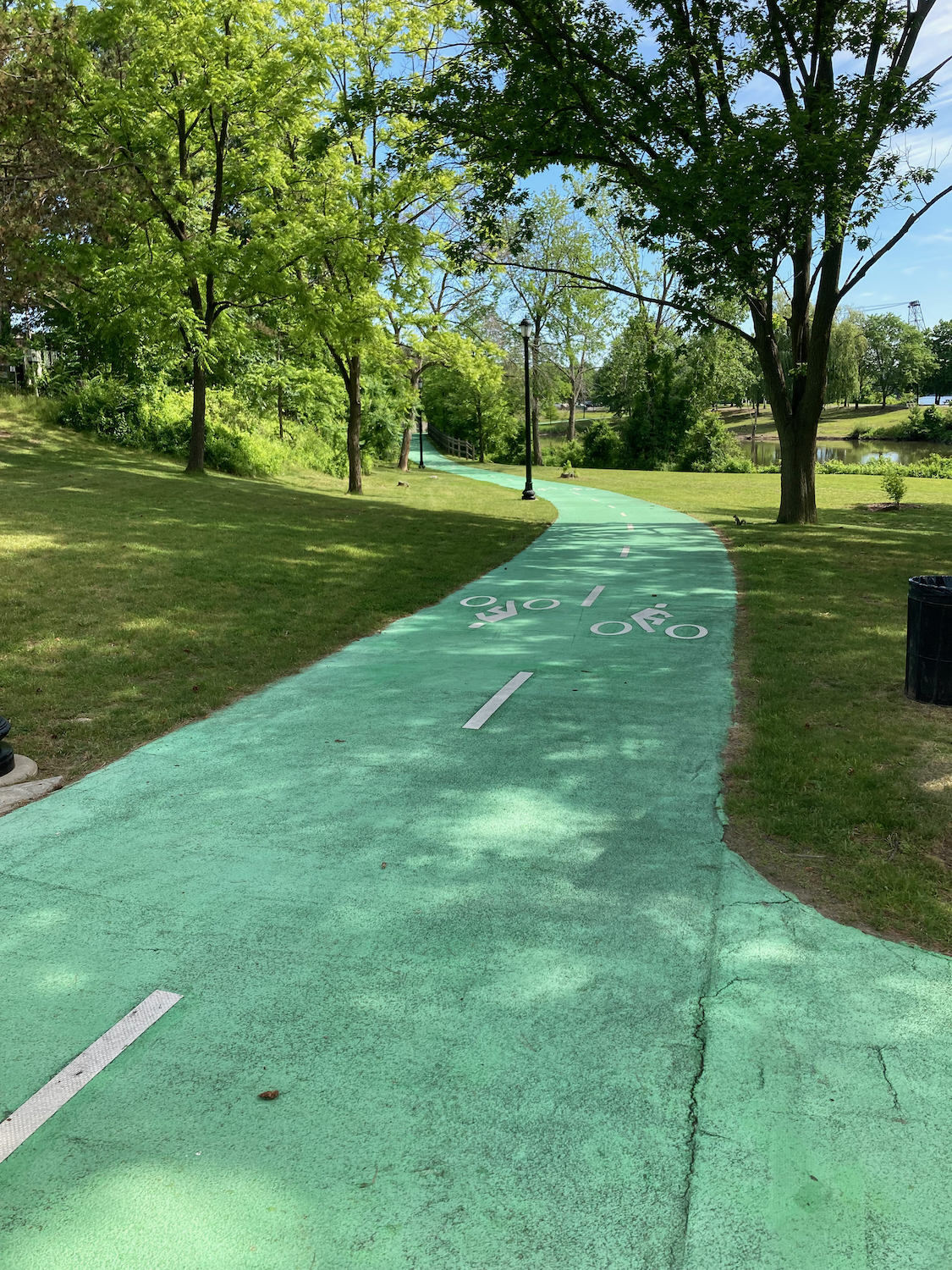
On the second day of my trip, I began to ride the canal trail. To get there, I headed back east just a bit to the Hudson, and rode north along a trail there that follows the river. In the more urban areas, the trail has a separate component just for bikes, painted green (click on any image to see a larger version):
Before too long that merged with the walking path and was just bare pavement.
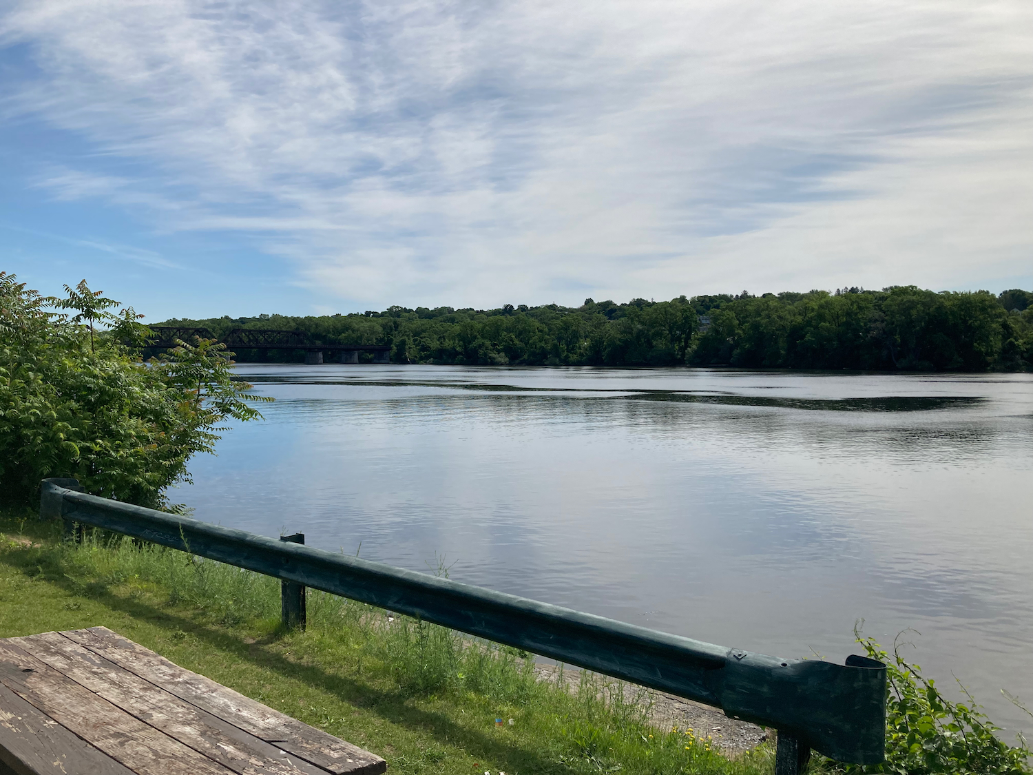
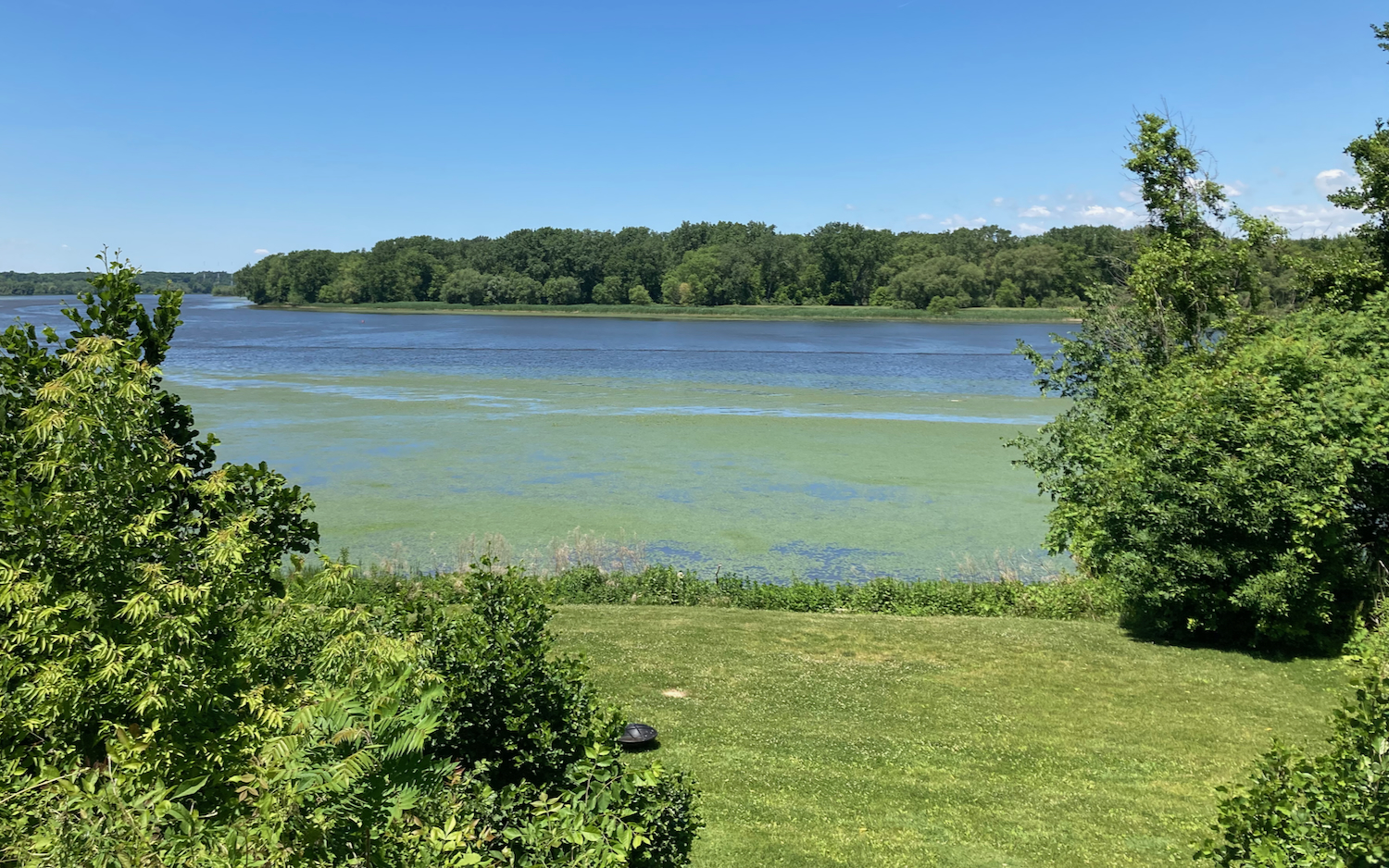
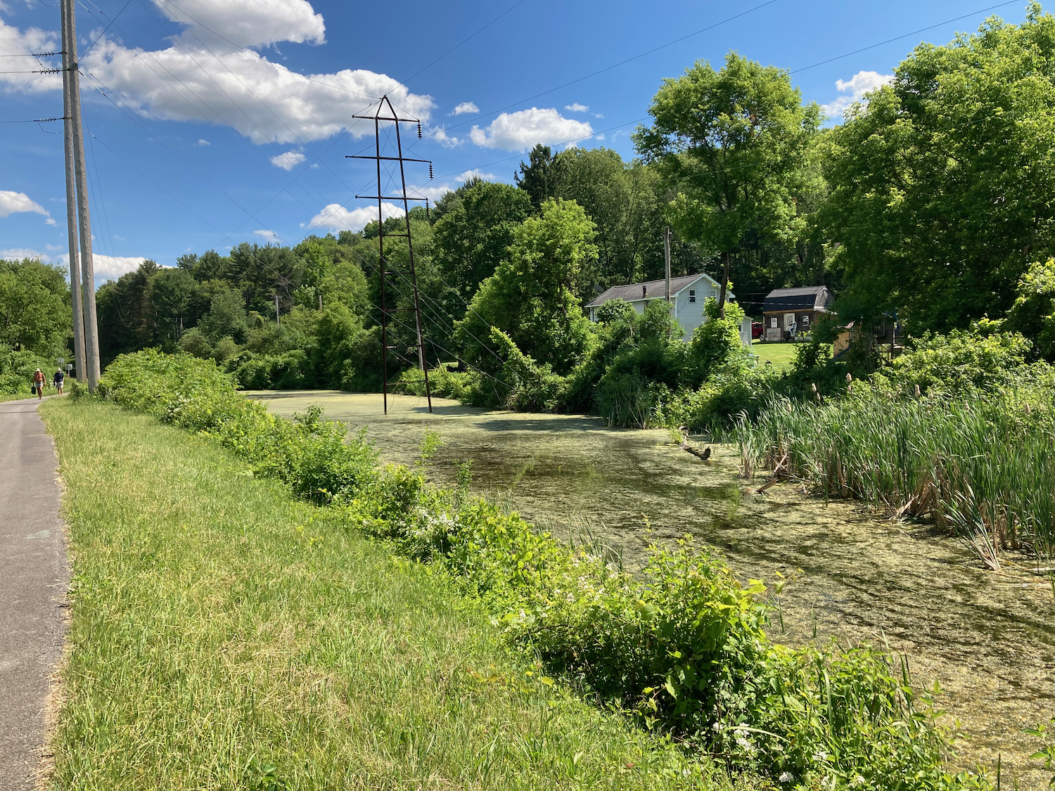
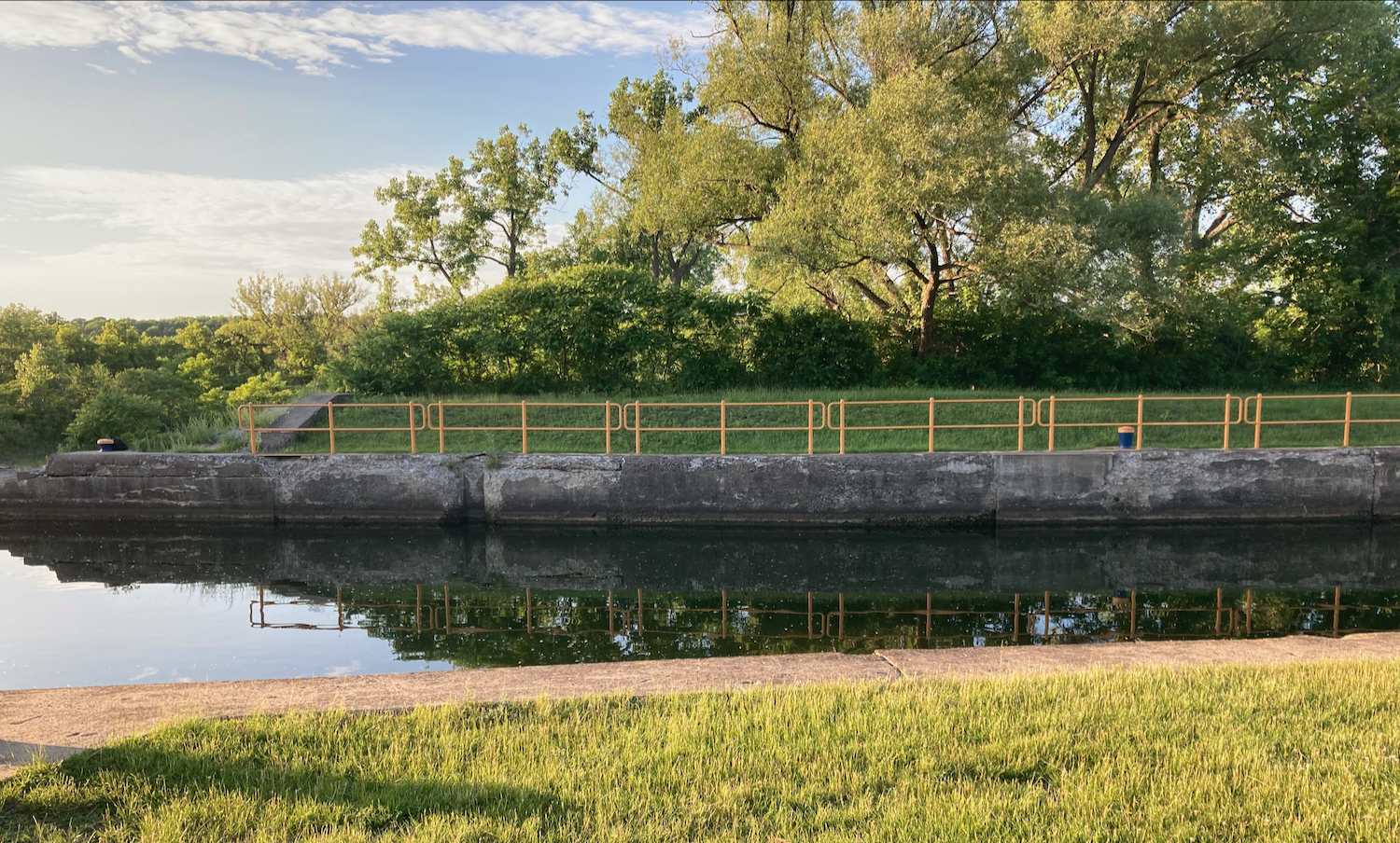
Before I got out of the city there was a nice pond on the other side of the trail from the river:

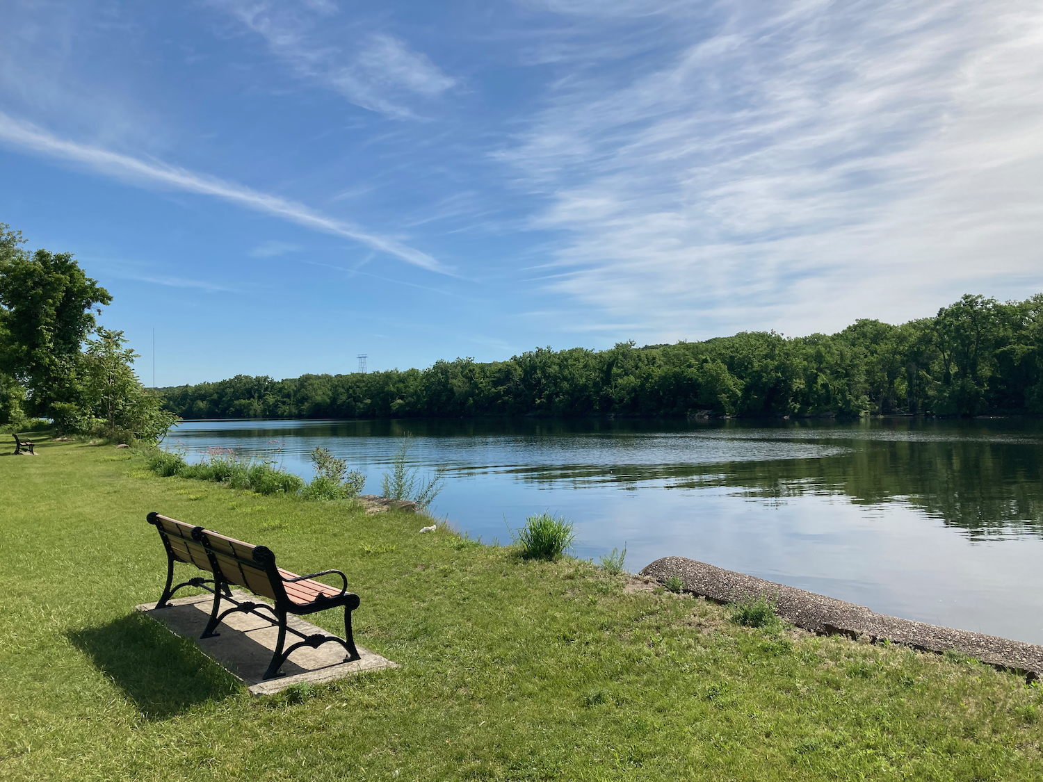
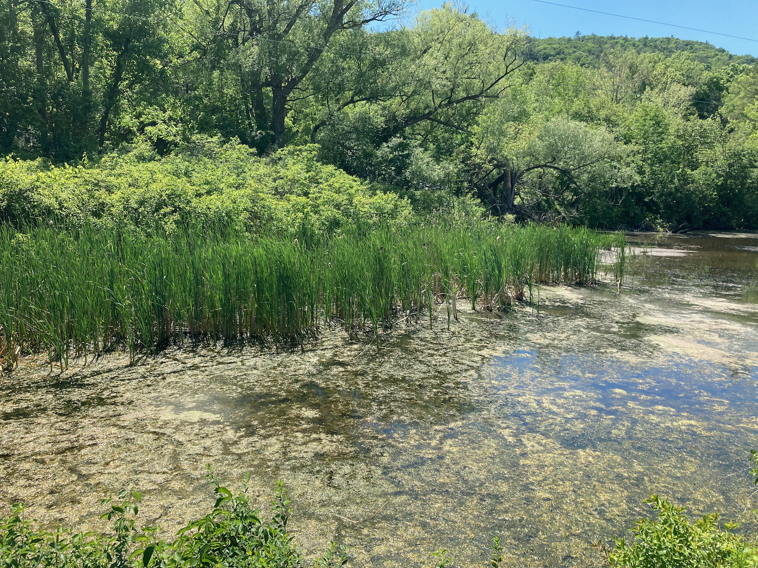
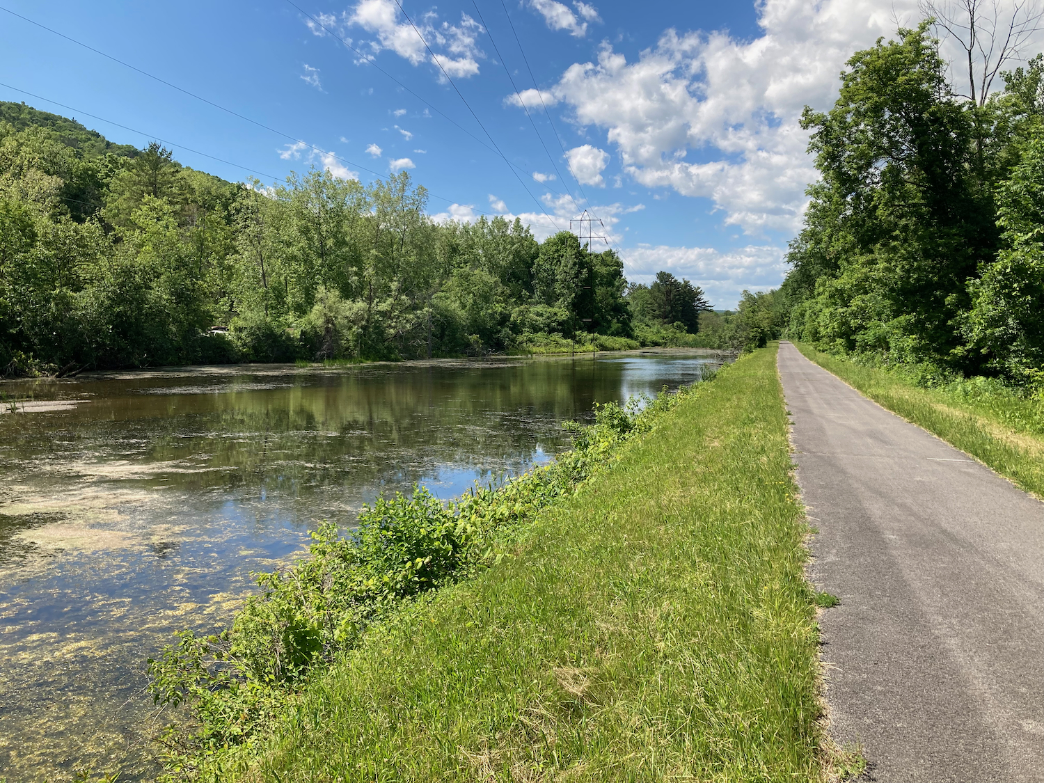
There were a number of places along the trail to view the river:
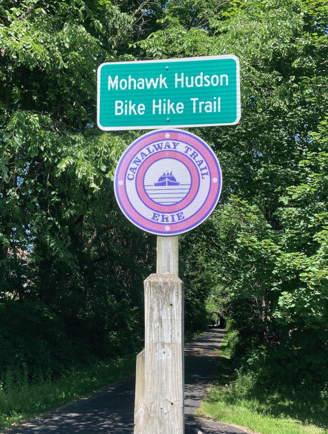
Eventually the trail took me away from the river and continued north alongside a street. After a little while of that, signs directed me on streets for a mile or two, until I got to the beginning of the Erie Canalway Trail. From that point on, I would see signs like this to guide me:

The trail began to take me northwest, though I soon had to leave the trail as a section of it was closed. I followed detour signs for several blocks, and then was able to get back on the trail. Before long I was able to get a view of the Mohawk River, which forms the modern canal for quite a ways west.
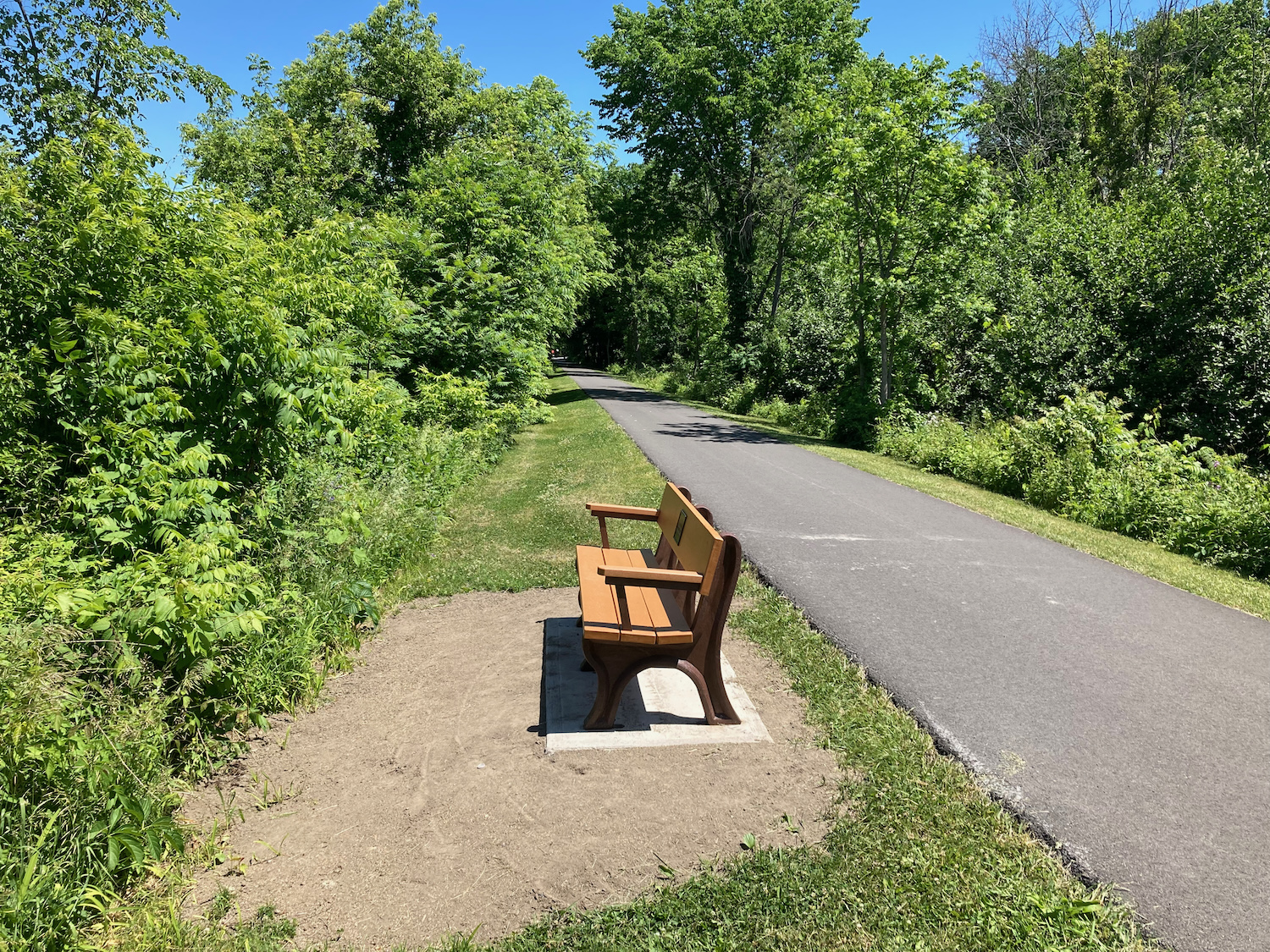
Here’s what the trail looked like by that view (looking back the way I had come):
I continued on through the town of Colonie, sometimes being able to view the river and sometimes being a bit away from it. At one point the trail turned and went up a hill, leaving the course it looked like it had once followed right on the river edge. Here’s the view from the top of that hill, back east:

The trail had been going through fairly rural looking areas, but headed into some more suburban areas soon, and then deposited me on streets in downtown Schenectady. I stopped off in the city to get some lunch – a deli sandwich from a small convenience store.
I then followed the trail signs along another road and through a park, but missed where the trail continued from there because there was no canalway or state trail sign on the turn-off. I eventually figured out the correct way by looking at a map on my phone, and headed out of Schenectady.
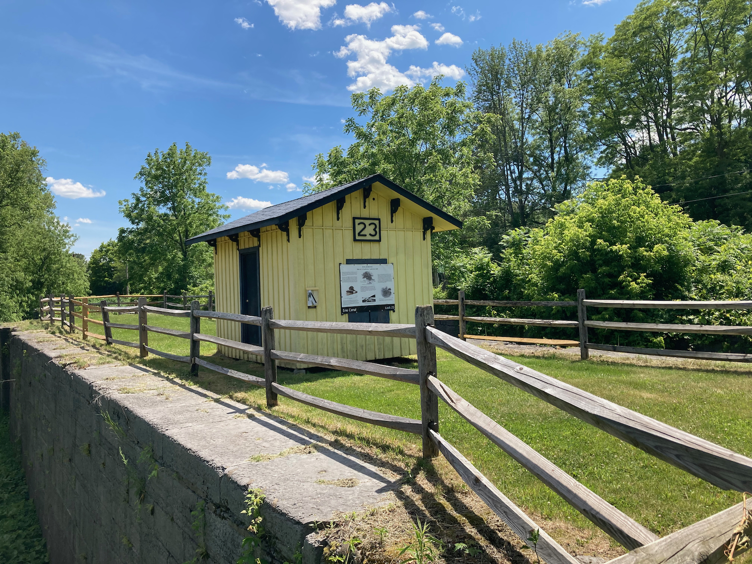
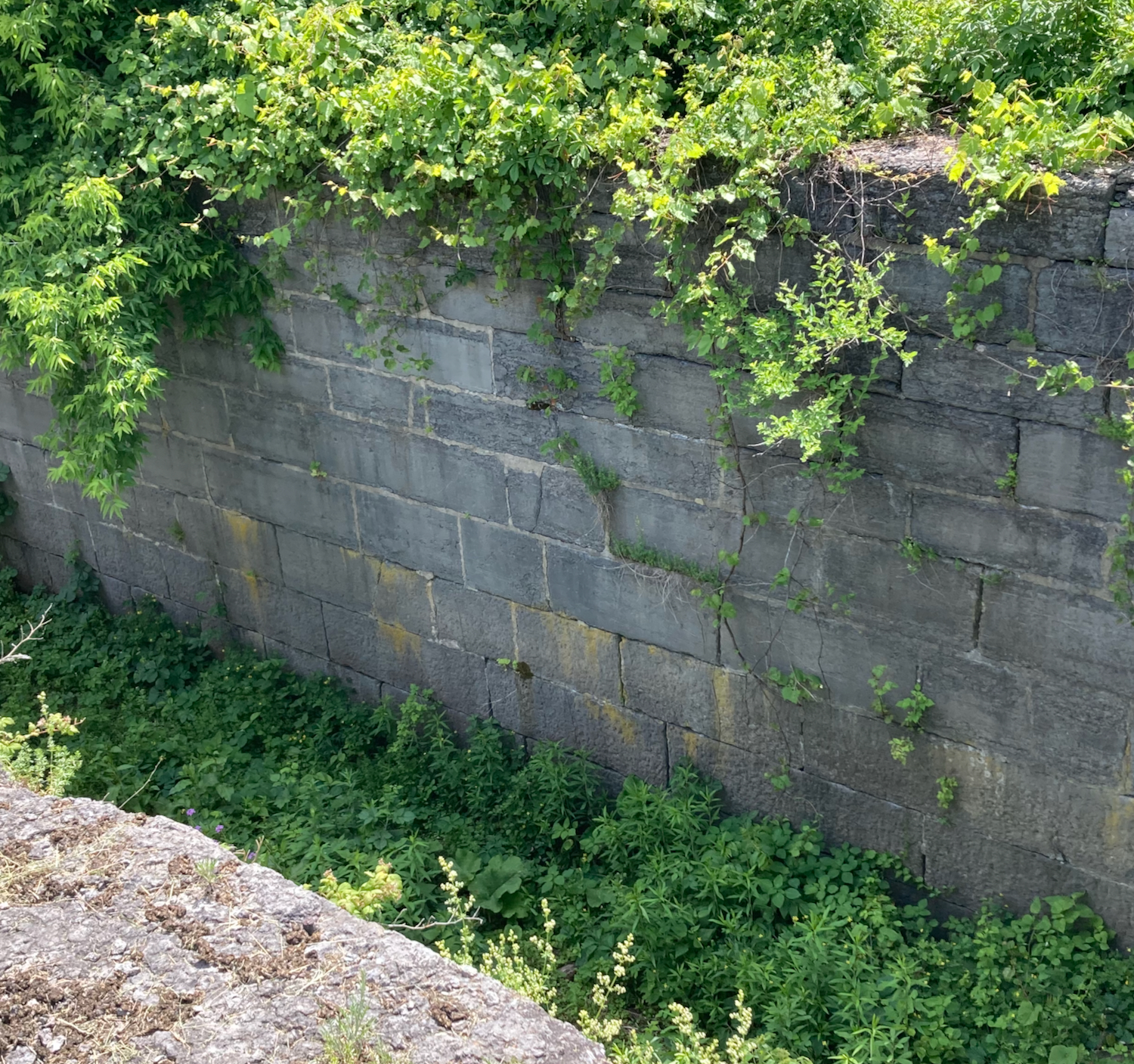
Just outside the city, I came to a historical lock from the old Erie Canal. This was once lock 23:
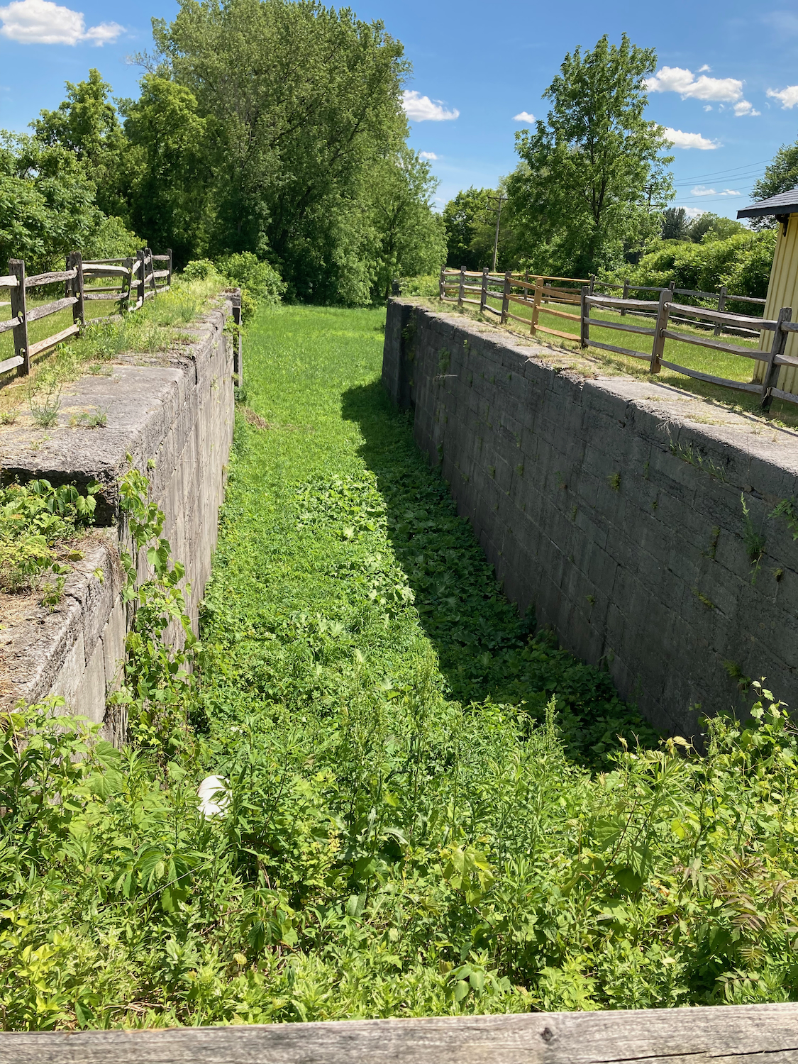
A bit further along there was a section of old canal that has water in it. This view is looking back east along it:
Straight across:
And looking to the west:
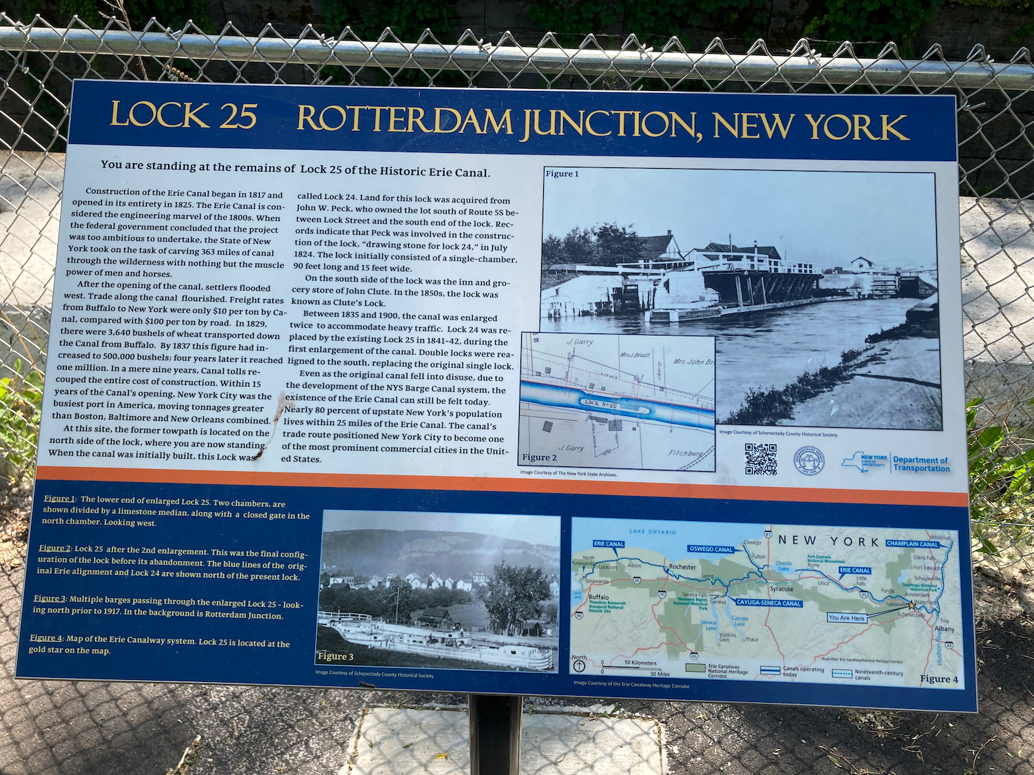
A little while later I passed another historic lock – number 25 – this one with some water in it:

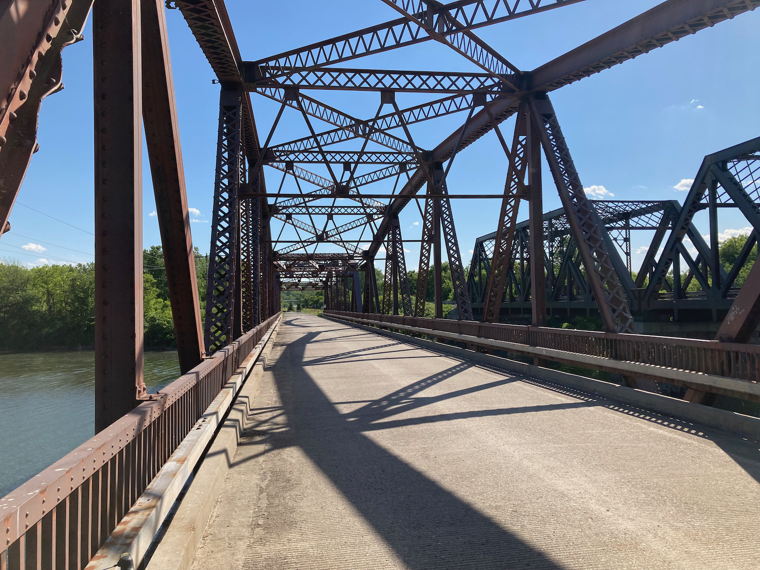
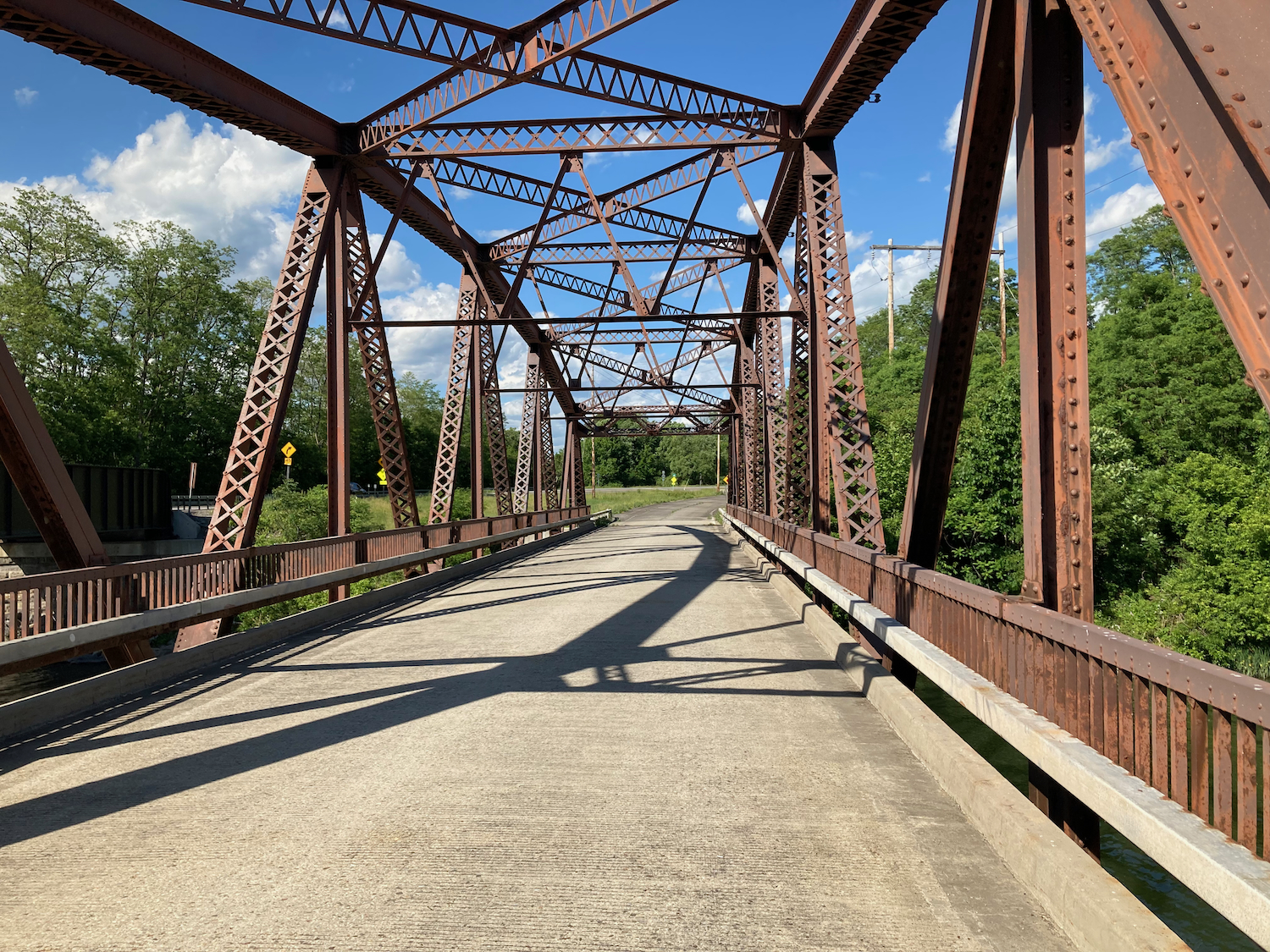
In the late afternoon, after I’d passed the town of Amsterdam, I came to what I would call a river crossing, though the waterway is known as Schoharie Creek. There are 2 parallel bridges crossing it, one used by cars on Route 5S, and one just used by the canalway trail. Here’s the bridge for the trail, looking west and then back east:
Here is the so-called creek looking south, and then north:
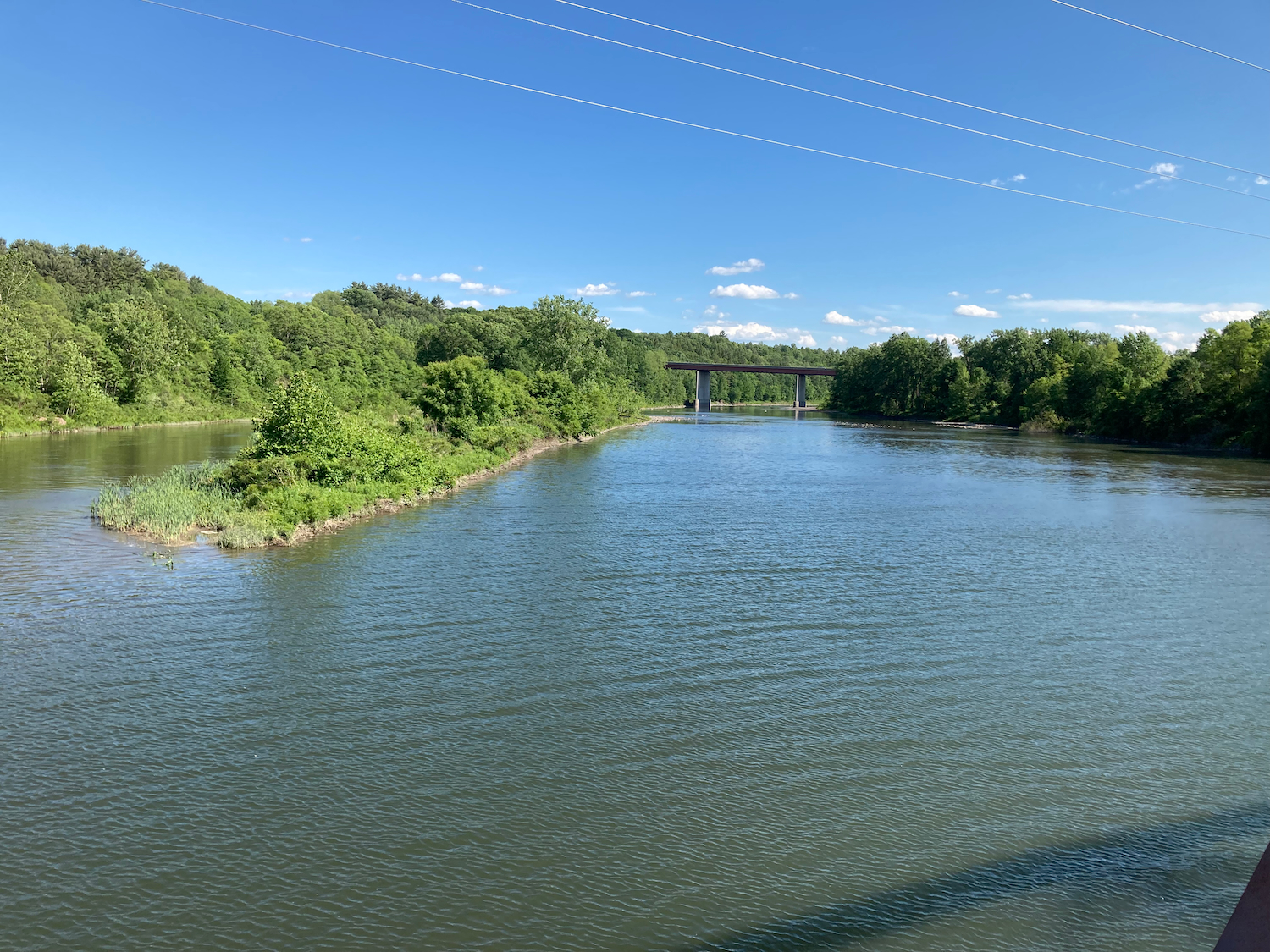

While I was taking these pictures, a couple of other cyclists stopped, and one of them told me that they are river stewards locally, and mentioned the history of these bridges. Apparently, the I-90 (New York Thruway) bridge, which can bee seen in the distance in that southern view photo, collapsed in the 1980’s, and so this pair of bridges served the detour traffic until the main expressway bridge could be rebuilt. Once the thruway was restored, the state highway only needed the one bridge, so the other stopped being used for car traffic, and eventually became part of the trail.
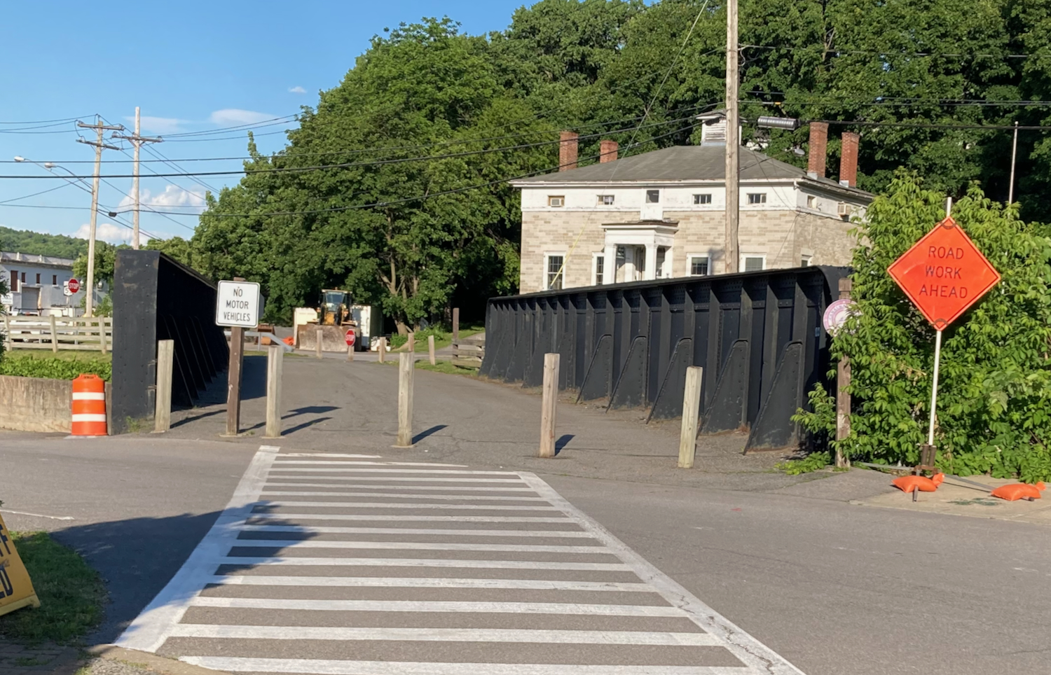
Another town I passed through late in the day was Canajoharie, where the trail route passes over a wide bridge that looks like an old railroad trestle (which it probably once was).
As the sun was getting low in the sky, the route ceased to be a separate trail for a while, and went along a quiet riverside road. Along that road, I stopped short at one point, because there was a peacock sitting by the side of the road:
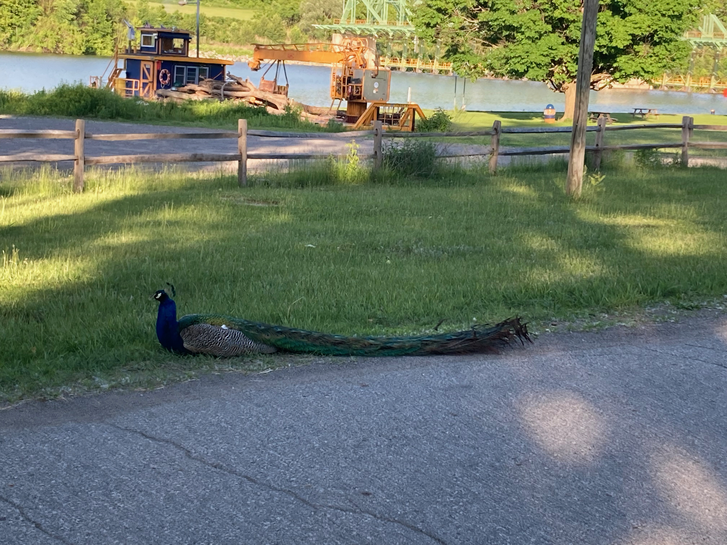
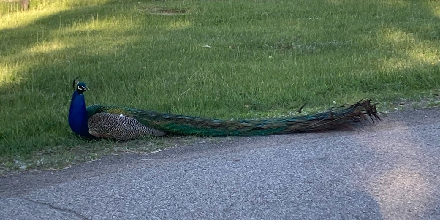
I later tried searching for information on whether such birds run wild in NY State, but could not find any info on that. Maybe the peacock is kept by someone who lives there?
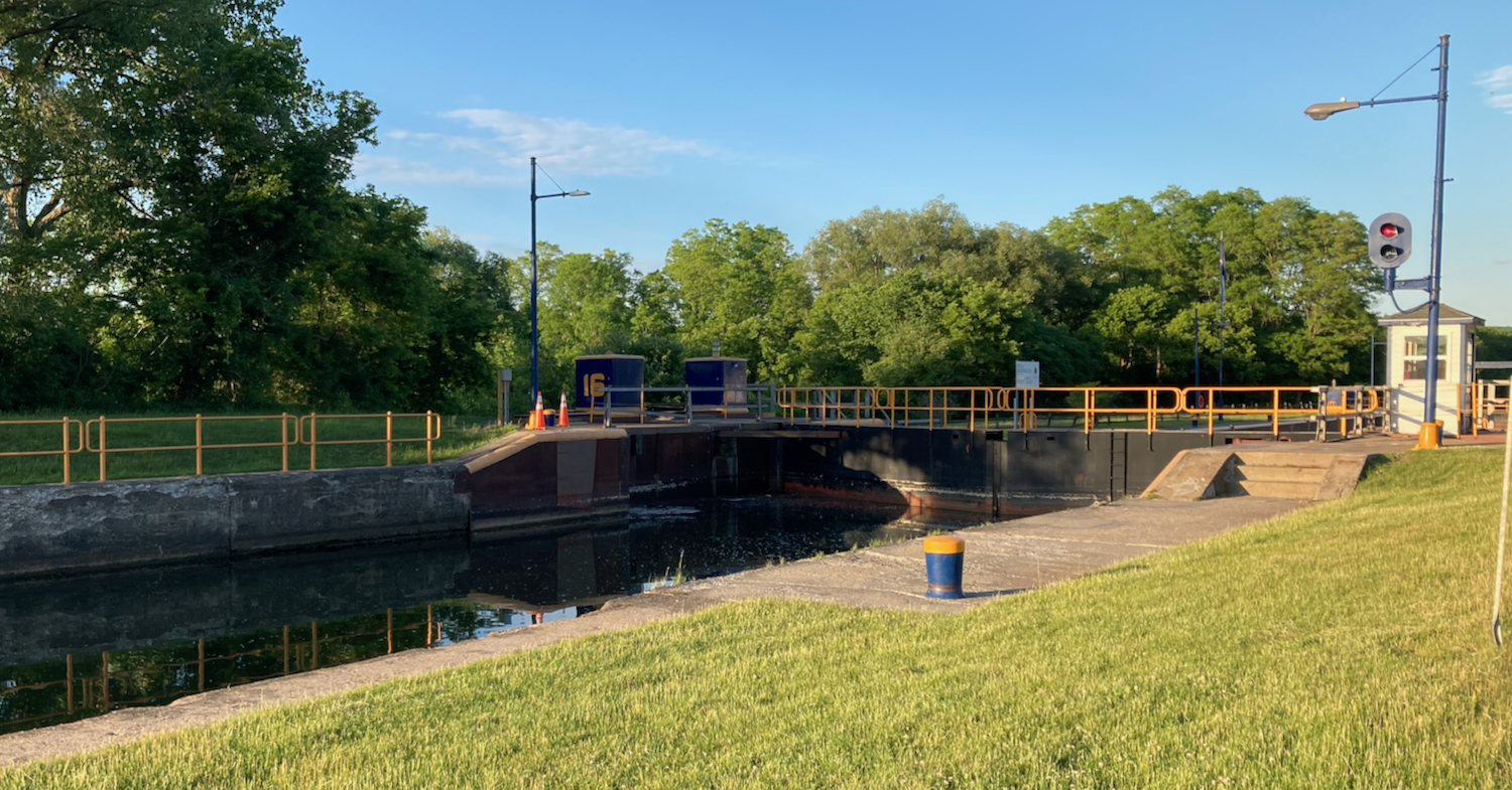
Soon after that I picked up off-road trail again, which took me by the Mindenville Canal, a section where there is a separate canal from the Mohawk River itself for a little while. Here is Erie Canal Lock 16 on that section:
From here the trail surface switched from pavement to stone dust, and was like that almost the rest of the way to the town of Little Falls. There was some more pavement as I got near the town, though the trail was then closed, and I had to head into town on roads. I got to the hotel I’d booked there just before 9:00pm, showered, and then got a pizza for a late dinner. Total mileage covered that day was just over 94.
