On the third day of my trip, I left the small town of Little Falls to head for Syracuse. I passed over the Mohawk River as I left the town, in order to get back to the trail. Here’s the view from the bridge (click images for full size versions):

I quickly got on the trail, heading west again. After riding for a little while I came to lock #18 on the canal, which had a boat in it, being elevated to a higher water level:

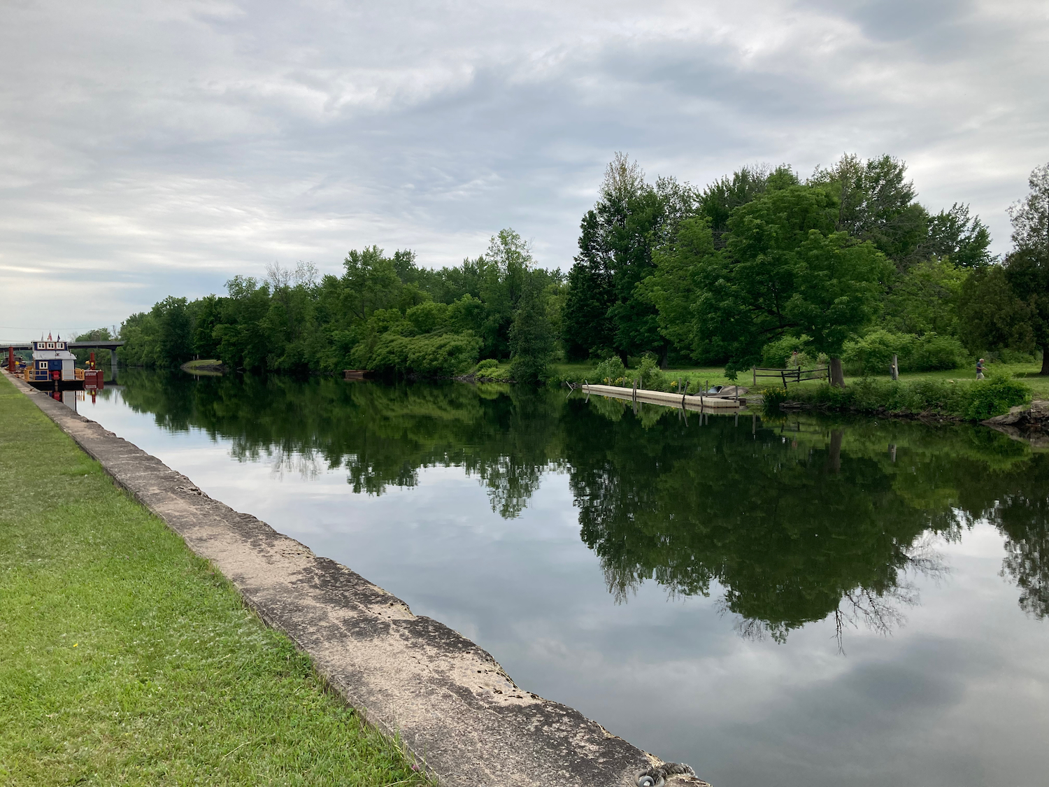
From here I continued along the path and came to a small marina and park in the town of Ilion. Here’s the waterfront there:
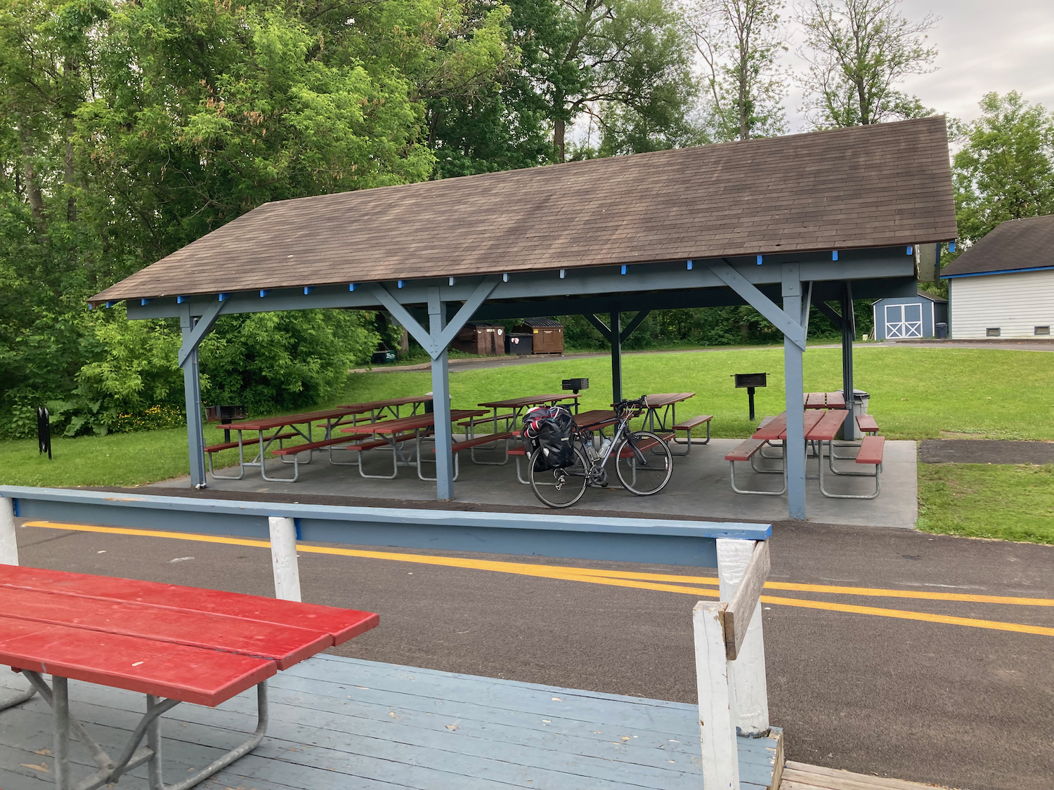
On the other side of the trail from the water was this picnic shelter:
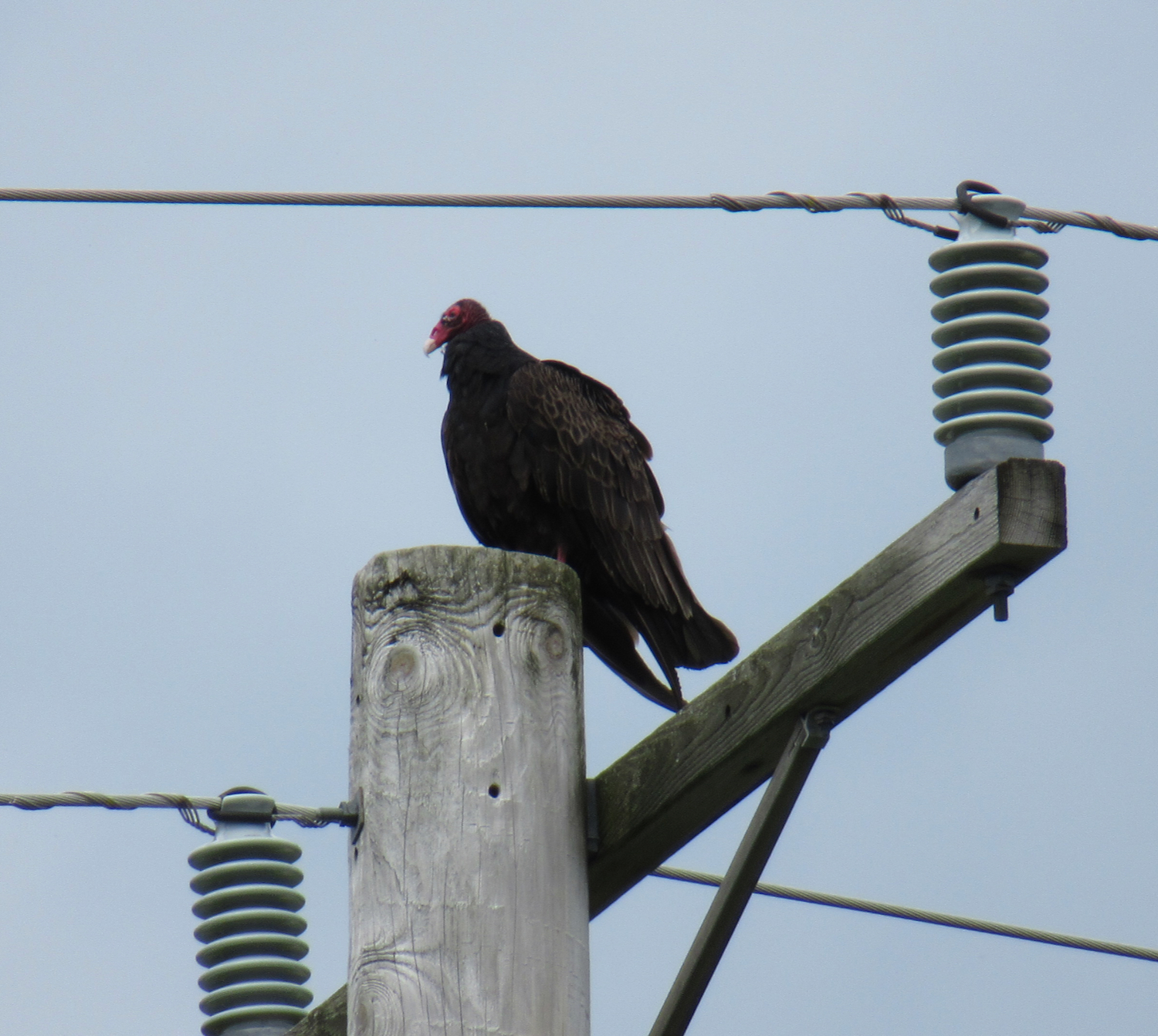
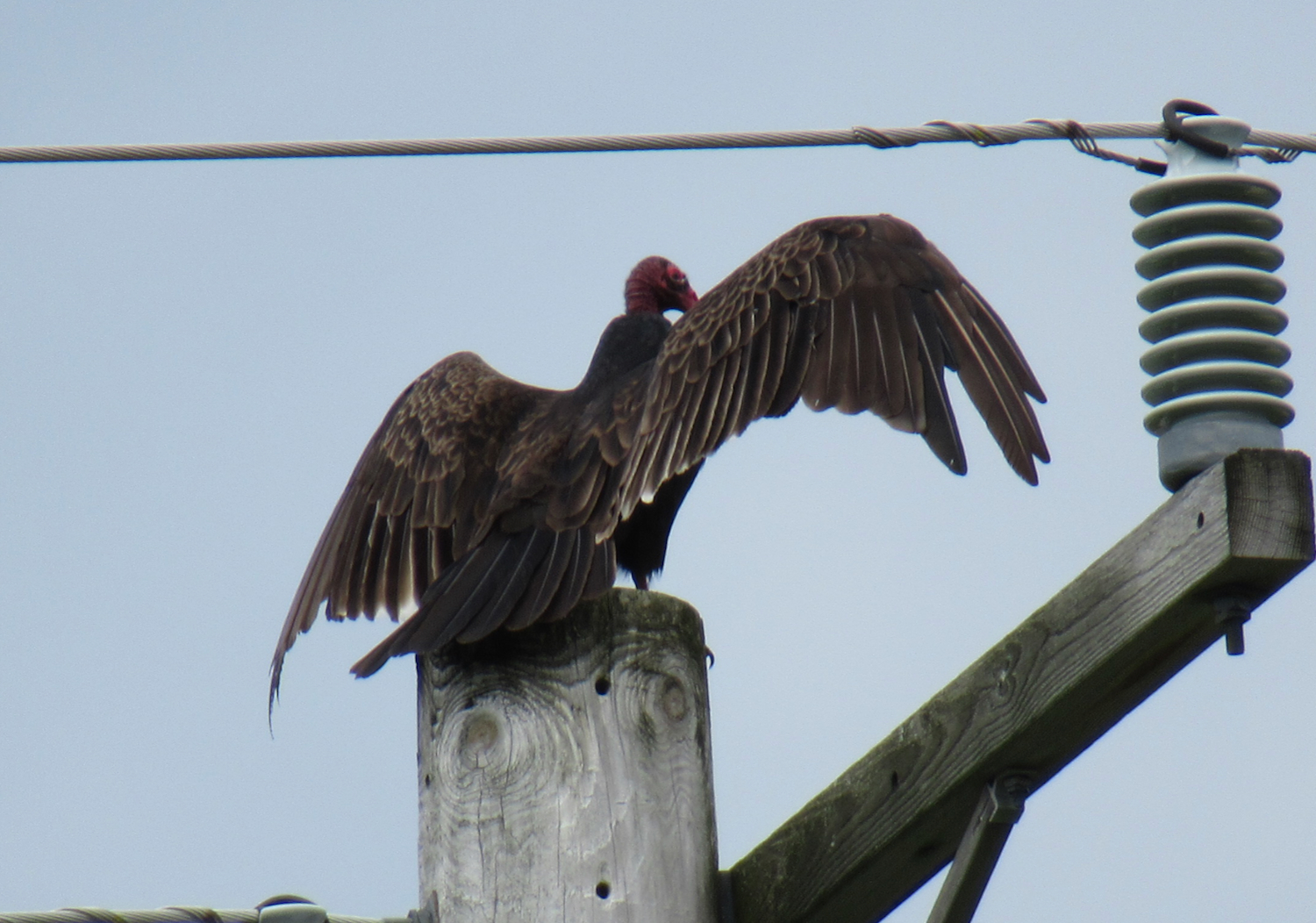
Not too far past Ilion, the route got back on-road, and I followed a fairly quiet road for a few miles. While riding along there, I noticed a turkey vulture sitting on top of an electric pole a little ways from the road. Fortunately, I had a camera with a zoom lens, and was able to get some closeups (the bird was at least 50 yards away):
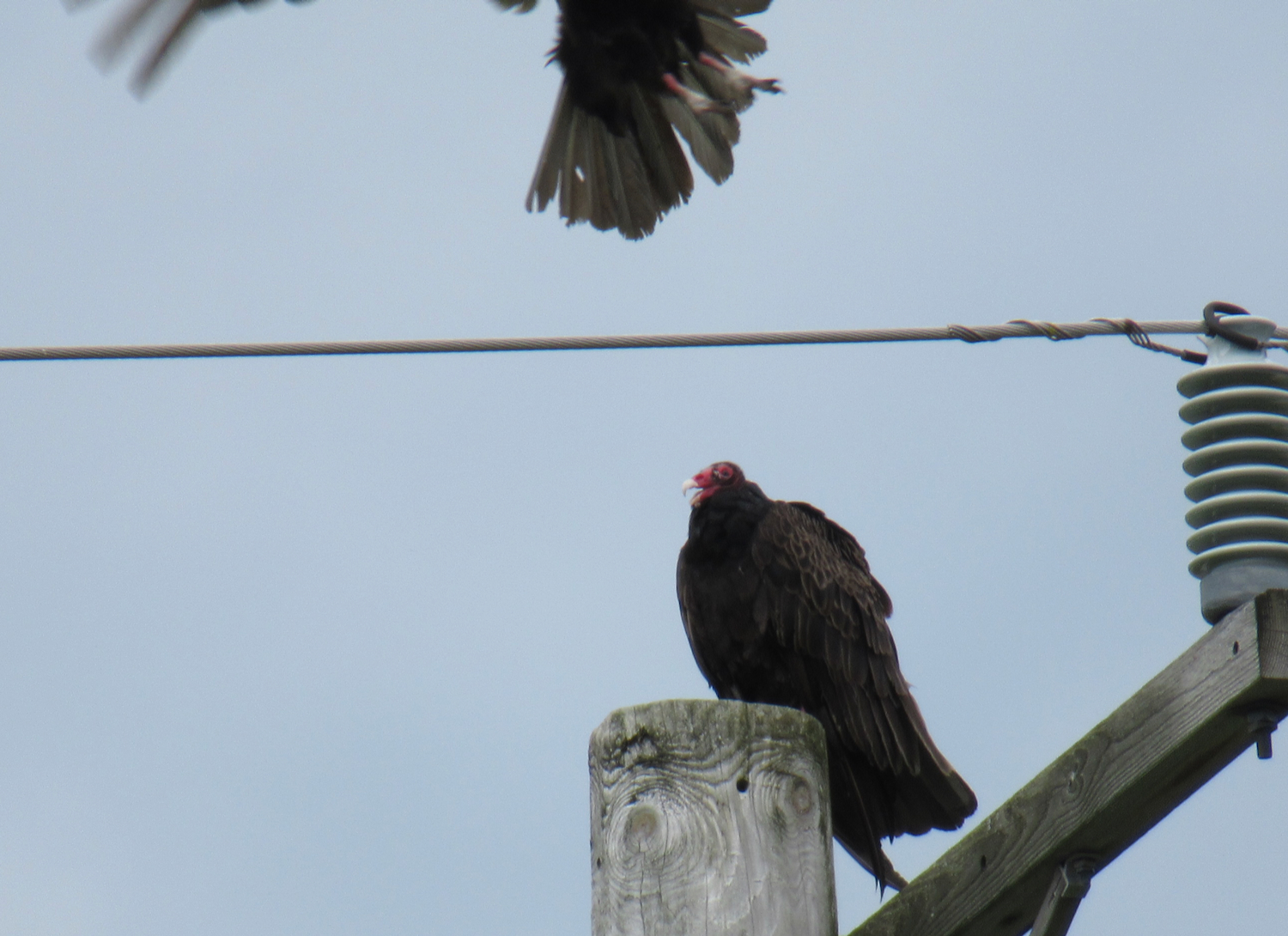
As I took pictures, another vulture came by, passing perhaps a little too close for the first bird’s comfort.
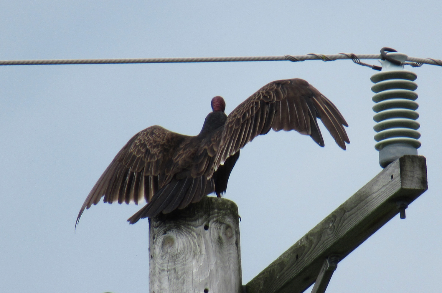
Then the bird turned around to spread its wings. I would think it was sunning itself, except that the sky was overcast.
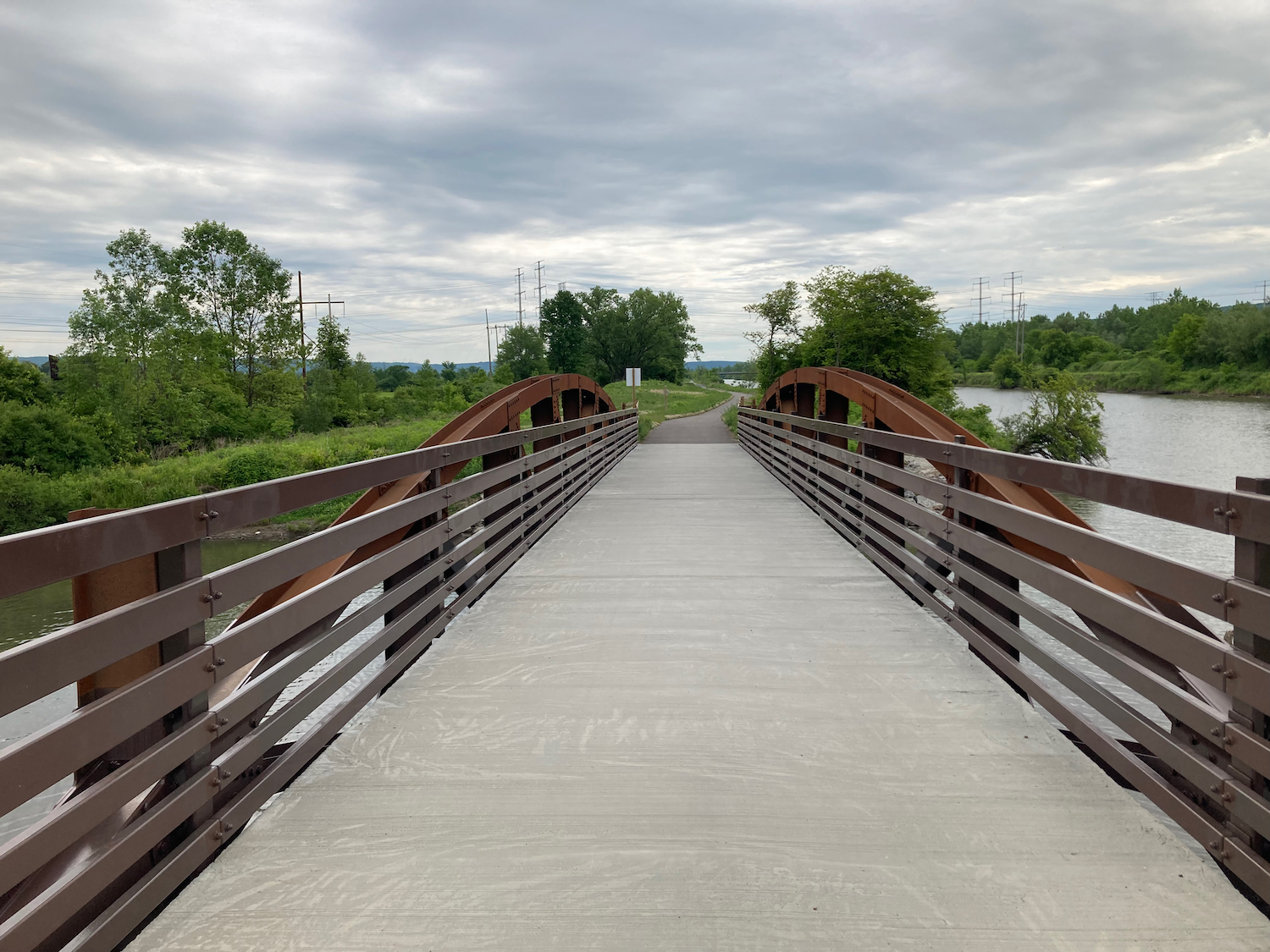
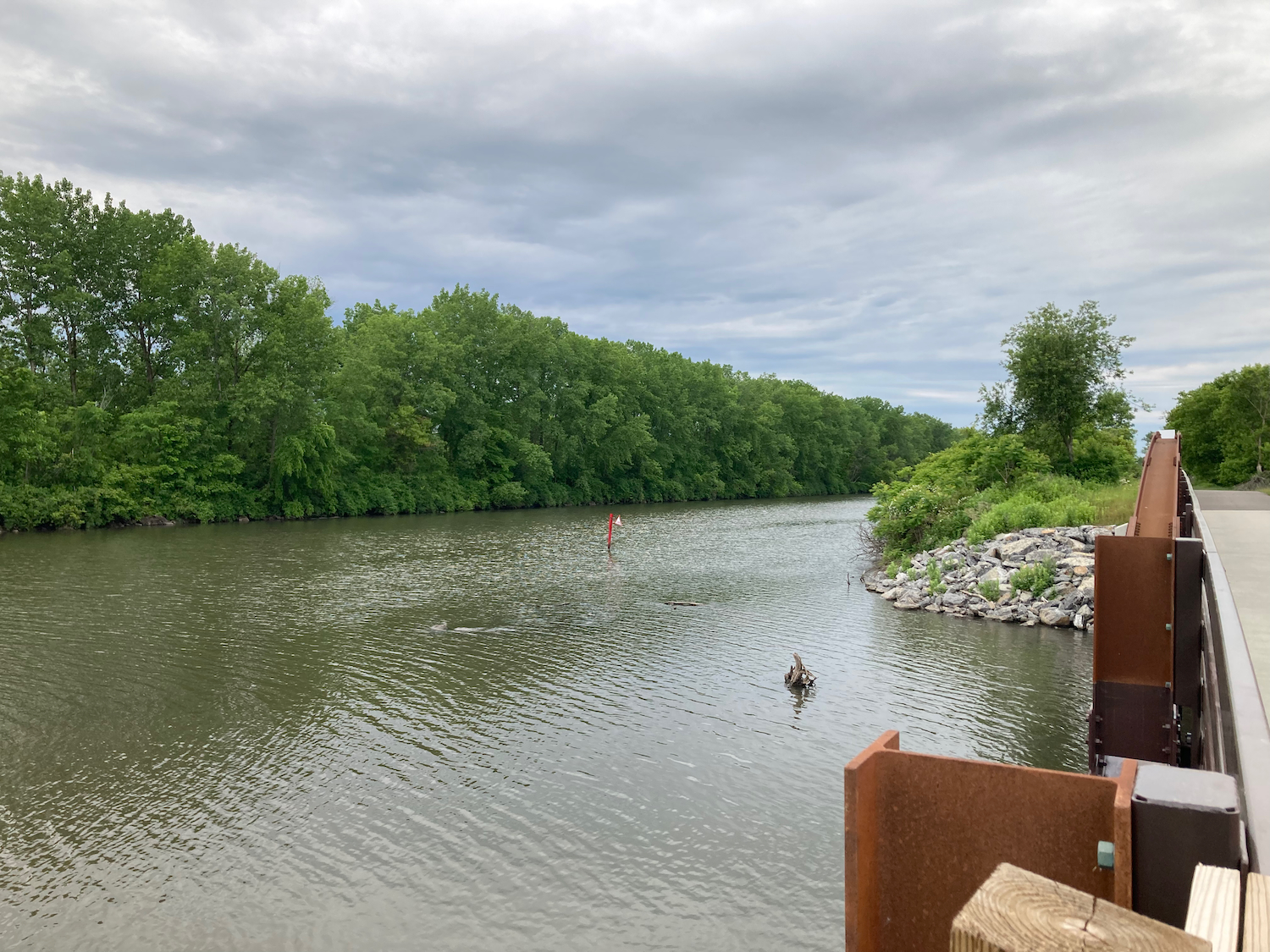
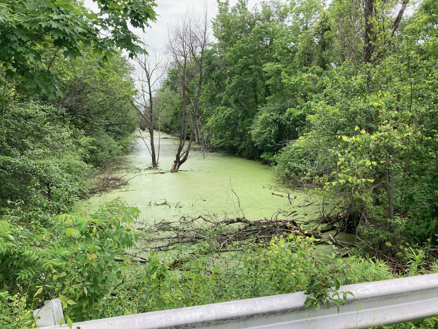
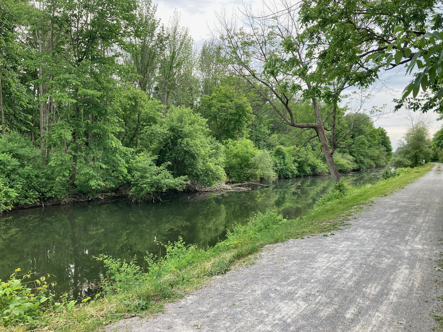
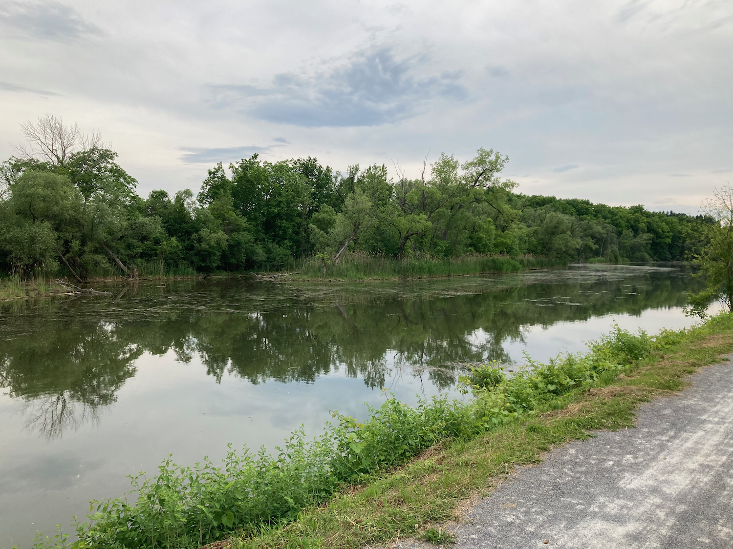
This on-road section turned right and went north over the canal (here known as the NY State Barge Canal), where there was then more off-road trail to ride. That trail almost immediately came to a little bridge over a tributary to the canal. Here’s the bridge (looking back eastward), as well as some views of the canal from it:

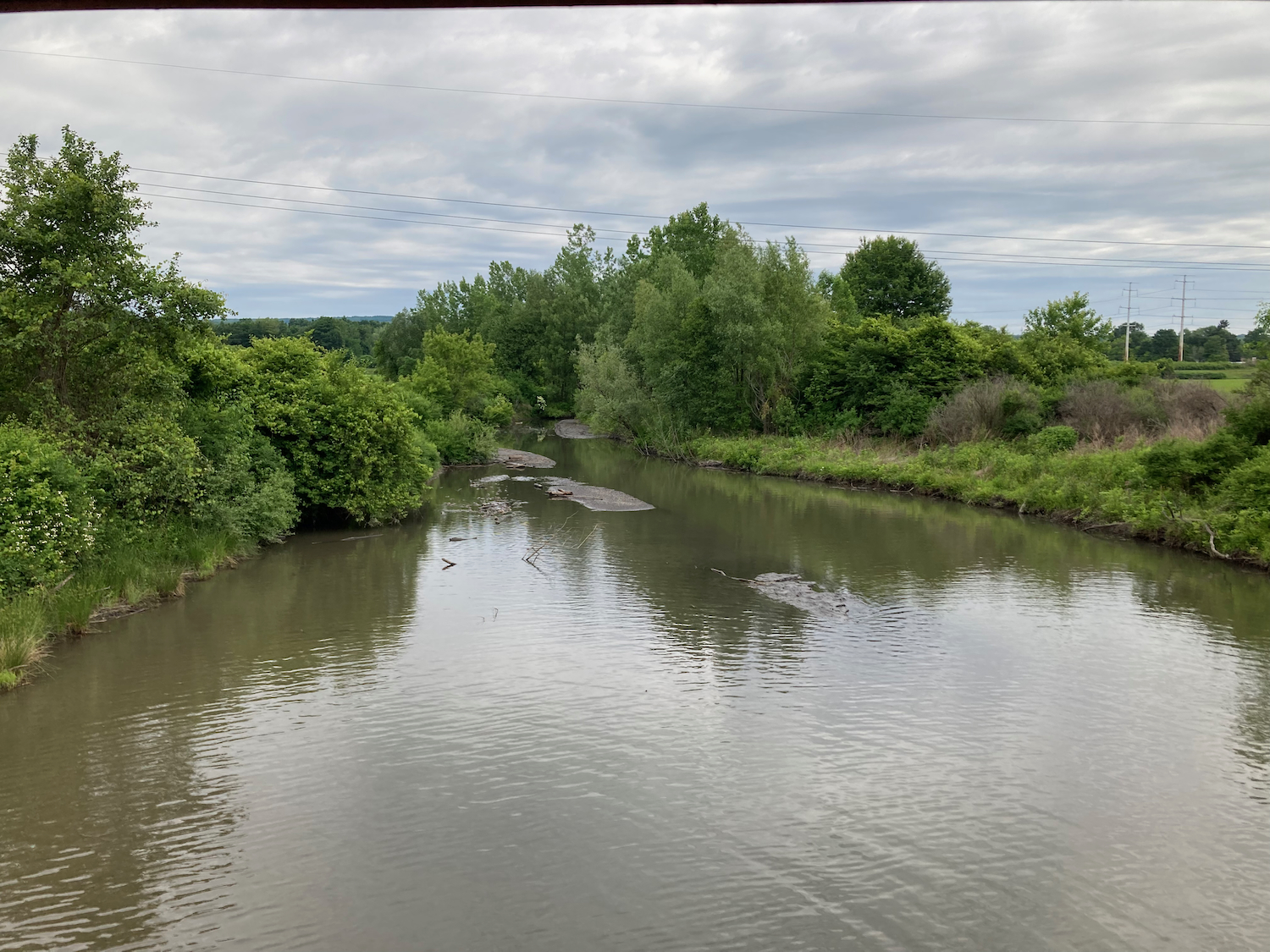
And this is the view north, up the tributary:
Shortly after this, the route used a road to cross back to the south side of the canal, then was on separate trail again, and entered the city of Utica.
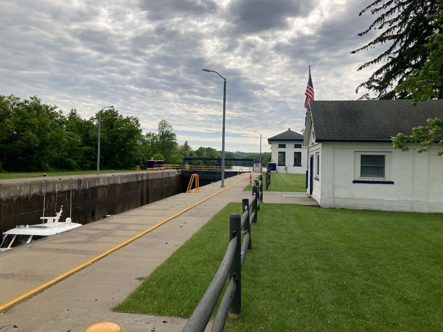
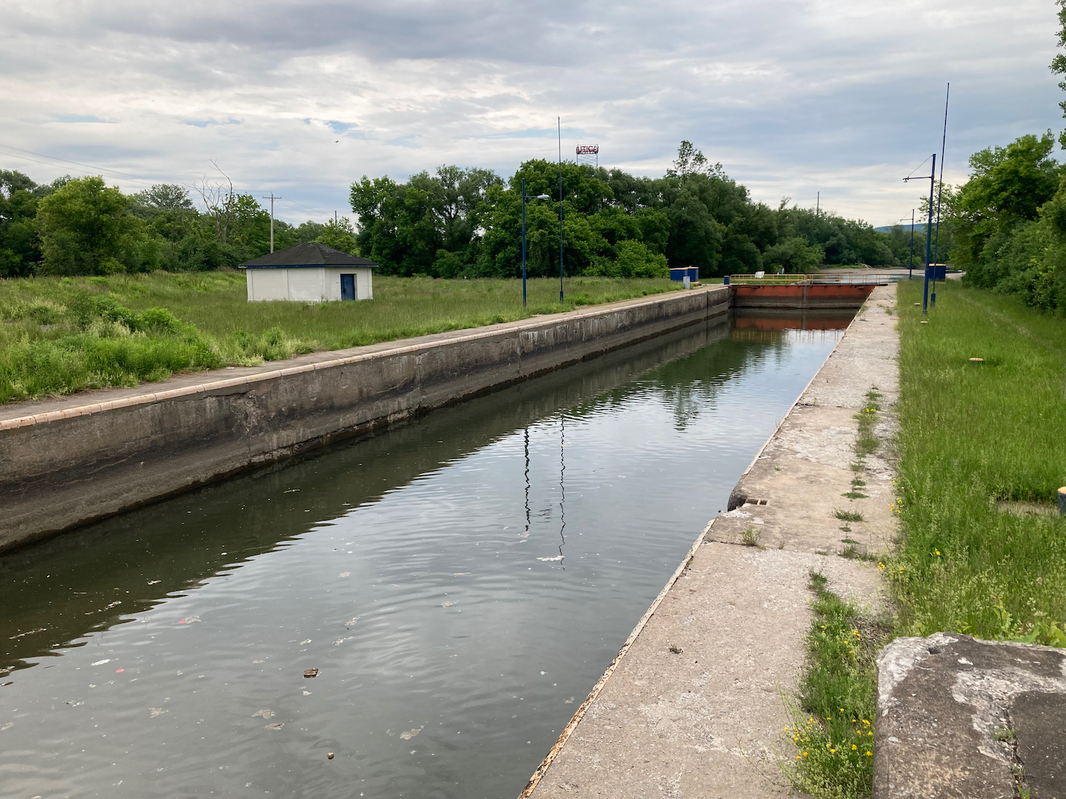
Most of the way through Utica, there was a side canal that entered the main one, and there was a small lock to cross (I had to walk the bike across the little bridge part. This is known as the Harbor Lock:
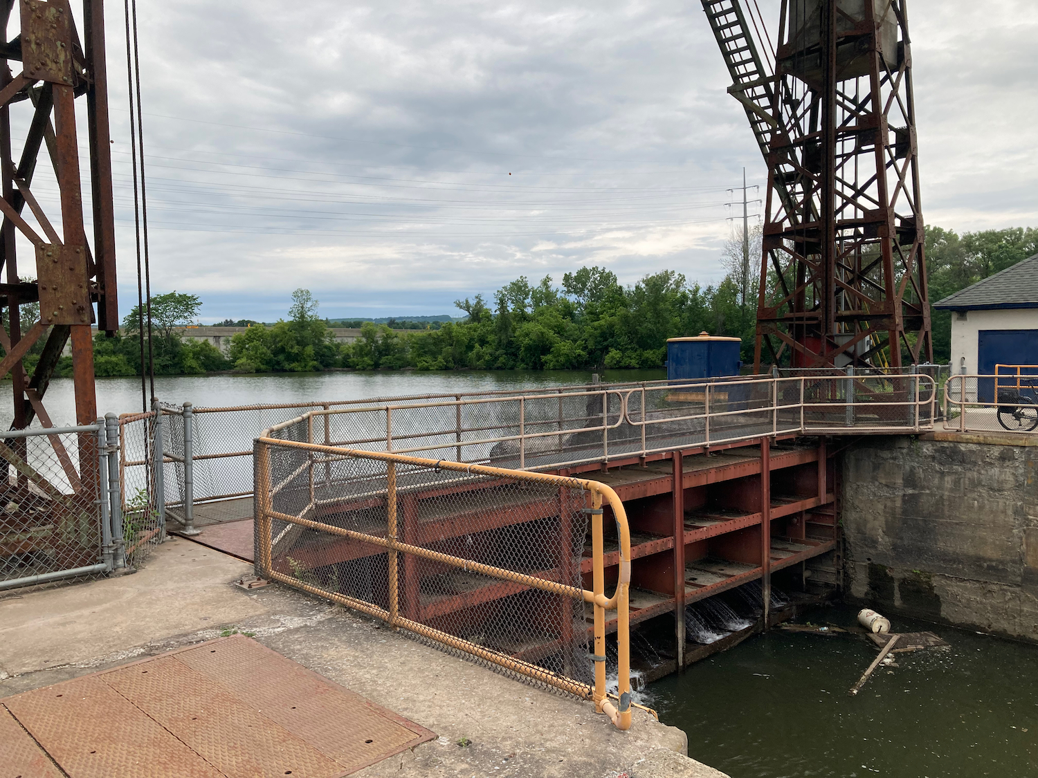
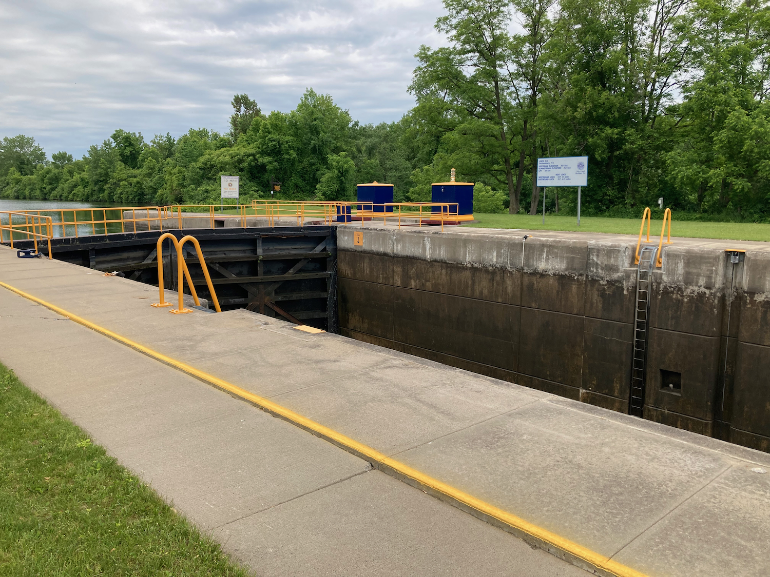
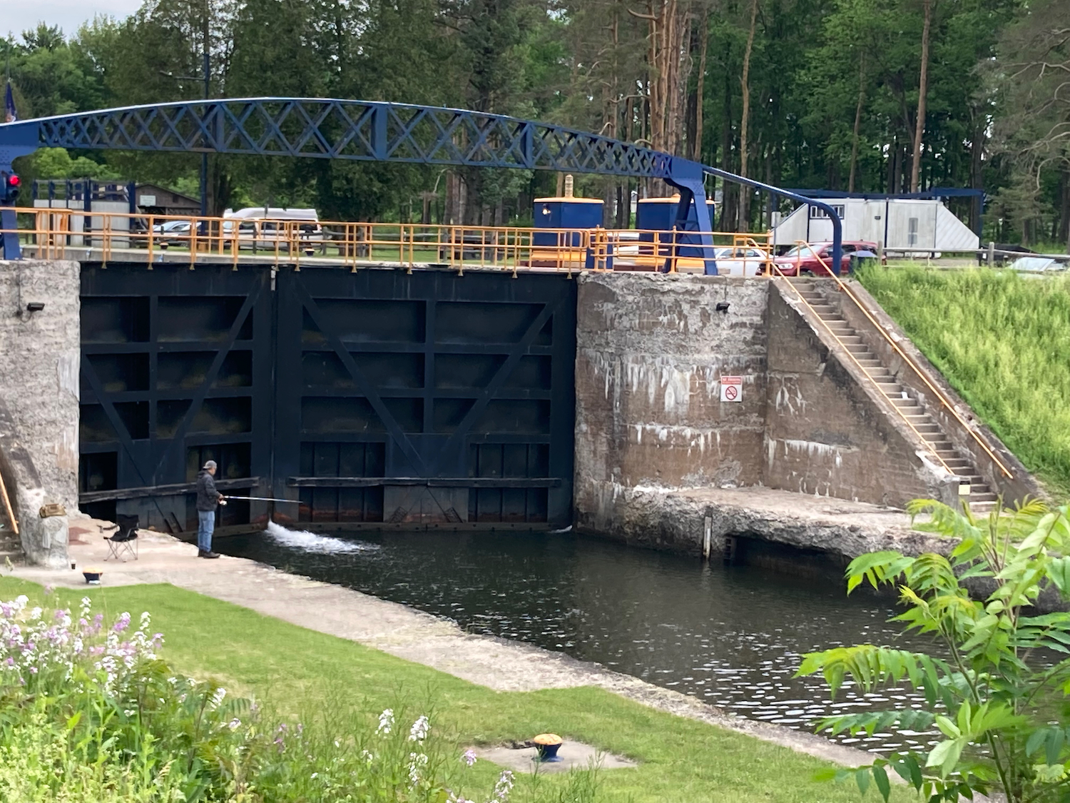
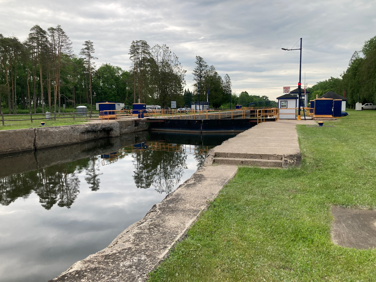
A little ways outside of Utica, I passed Lock 20 on the main canal. Here are the east gates (a good place for fishing?):
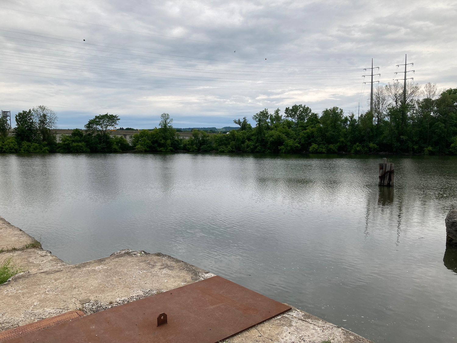
Here’s the upper end, and the canal continuing west:
Not long after this, I came to another spot where the trail stopped and I had to ride on roads. I first rode a bit south, crossing the Mohawk River, which is quite small and gentle at this point:
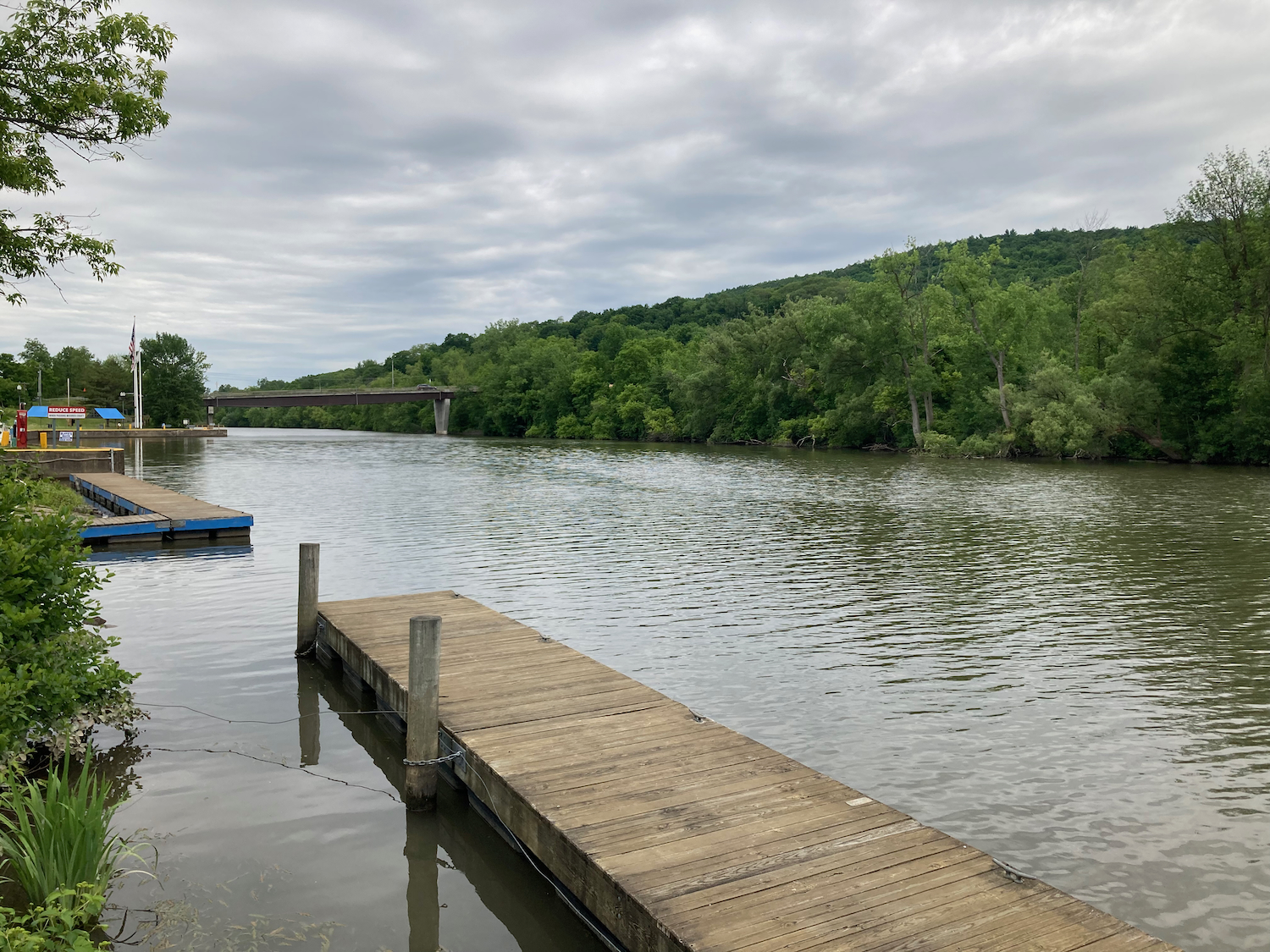
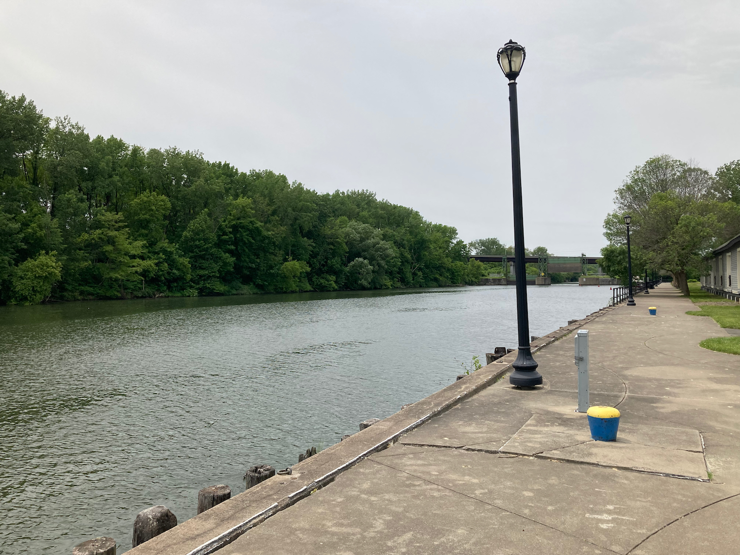
I then followed a surface street west by northwest, and eventually crossed the canal again, entering the city of Rome. There was a park and visitor center there by the water, where I stopped briefly:

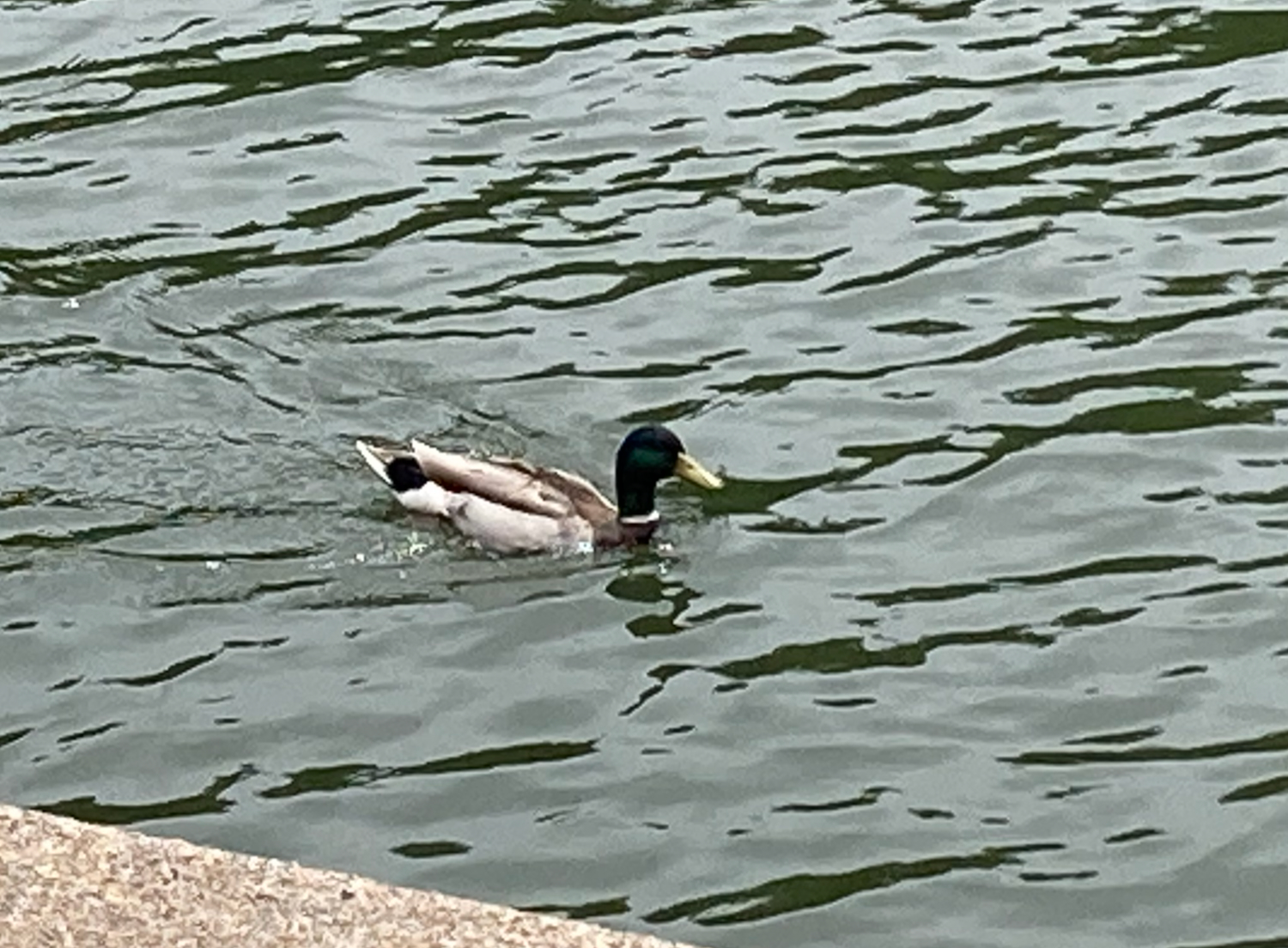
This duck swam by while I was standing there:
A bit of trail headed through the park and across a dam, then let me out onto streets to travel through downtown. I stopped for lunch at a place called Arizona Taco, and had a burrito and some horchata, which was quite good.
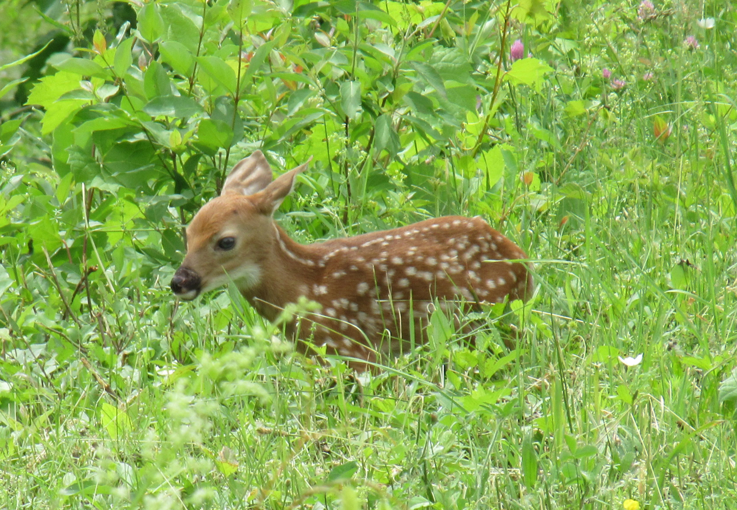
After lunch I headed out of Rome, getting back onto a trail that was mostly dirt and gravel. While traveling that route, I saw a small animal up ahead that I at first thought might be a dog, but I stopped as I realized it was a fawn. As I stopped, I noticed its mother a little further away, and the doe ran and hid behind a building. I took a few pictures from a distance, then went on my way to avoid stressing out the mother.

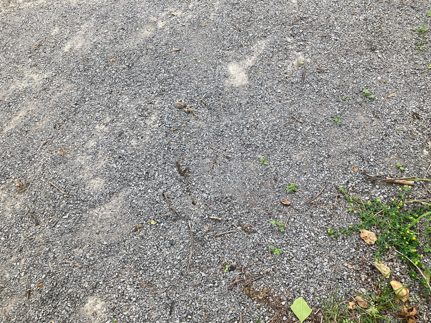
After this, the trail began heading somewhat south as it went west, and following a more historic, less navigable canal (identified on maps as Pools Brook). Also, while much of the trail from Albany to Rome had been asphalt, the section between Rome and Syracuse was largely stone dust. That’s basically a very fine gravel, usually on top of packed dirt. Here is what it looks like:
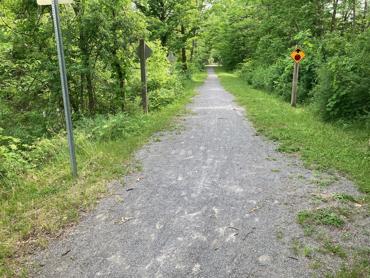
Most of the remaining distance for the day was also part of Old Erie Canal State Park. Here’s typical scenery from the last 10 miles or so before Syracuse:
The park ended just as I entered Syracuse, and I then followed a series of streets to where I was staying, which was near the University campus. After getting a shower, I walked to Strong Hearts Cafe, a vegan restaurant that I’d eaten at a few times in the past. It’s not the same as it used to be, but the food was good.
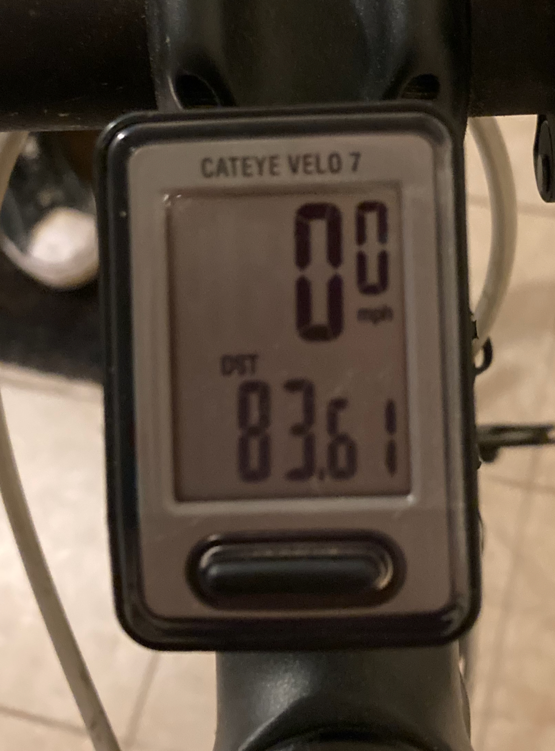
This was the shortest day on the canalway, covering just over 83 miles. The next day would not be the worst distance, but it would prove to be the worst weather of the trip.